Coed Nant-y-bŵch

Wood, Forest in Monmouthshire

Wales

Coed Nant-y-bŵch

Track onto access land This allows access to The Arwallt and Skirrid.
Track onto access land Credit: Jonathan Billinger

Coed Nant-y-bŵch, located in Monmouthshire, Wales, is a picturesque woodland area renowned for its natural beauty and diverse ecosystem. Spanning over an area of approximately 200 hectares, the forest is a haven for nature enthusiasts and hikers alike.

The woodland is predominantly composed of native broadleaf trees such as oak, ash, beech, and birch, creating a rich and vibrant landscape. The forest floor is adorned with a carpet of bluebells during the spring season, adding to its scenic allure. Additionally, the presence of a meandering river, Nant-y-bŵch, further enhances the tranquility of the area.

Coed Nant-y-bŵch is not only visually appealing but also serves as an important habitat for various wildlife species. Birds such as woodpeckers, nuthatches, and tawny owls can be spotted within the forest, while mammals like badgers, foxes, and deer are also known to inhabit the area.

The woodland offers a network of well-maintained paths and trails, making it a popular destination for outdoor activities. Visitors can explore the forest through a series of walking routes, suitable for all levels of fitness. The serene atmosphere and captivating scenery make it an ideal spot for picnics, photography, or simply unwinding amidst nature.

Managed by the local authorities, Coed Nant-y-bŵch is dedicated to preserving its natural heritage and promoting sustainable practices. The forest is open to the public throughout the year and provides a wonderful opportunity to reconnect with nature in the heart of Monmouthshire.

If you have any feedback on the listing, please let us know in the comments section below.

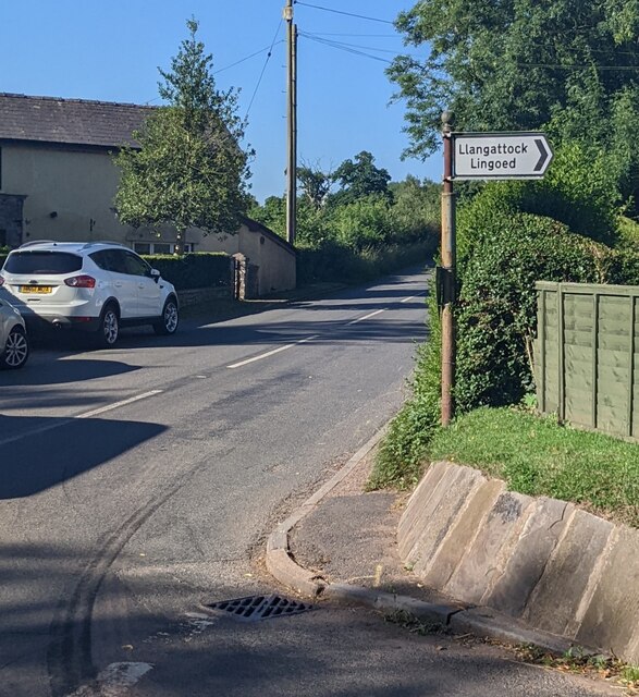
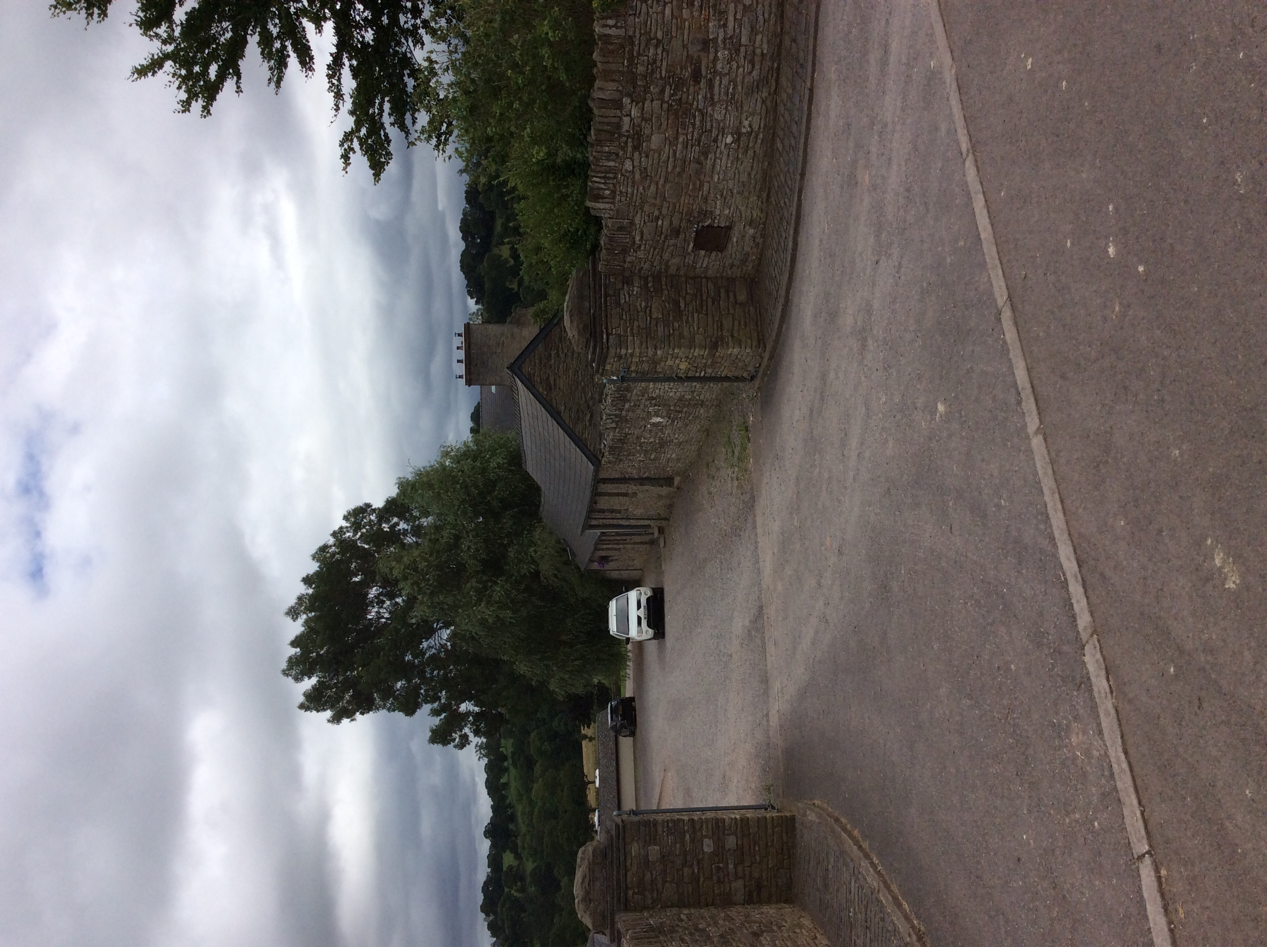
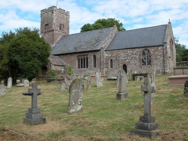
Coed Nant-y-bŵch Images

Images are sourced within 2km of 51.861744/-2.9322662 or Grid Reference SO3518. Thanks to Geograph Open Source API. All images are credited.

Track onto access land This allows access to The Arwallt and Skirrid.
Track onto access land
This allows access to The Arwallt and Skirrid.
Access land Edge of the Arwallt leading to the east side of The Skirrid.
Access land
Edge of the Arwallt leading to the east side of The Skirrid.
Rolling Monmouthshire countryside Looking north-east from a narrow lane named Hill Street.
Rolling Monmouthshire countryside
Looking north-east from a narrow lane named Hill Street.
Hill Street A very narrow lane to the north-east of The Skirrid.
Hill Street
A very narrow lane to the north-east of The Skirrid.
Ascent towards Llangattock Lingoed, Monmouthshire Minor road ascending from the B4521 Old Ross Road in rural Monmouthshire. Llangattock Lingoed is about 3km ahead.
Ascent towards Llangattock Lingoed, Monmouthshire
Minor road ascending from the B4521 Old Ross Road in rural Monmouthshire. Llangattock Lingoed is about 3km ahead.
Llangattock Lingoed direction sign, Monmouthshire The black arrow on the sign alongside the  B4521 Old Ross Road points towards this <a title="https://www.geograph.org.uk/photo/7223203" href="https://www.geograph.org.uk/photo/7223203">Link</a> minor road.
Llangattock Lingoed direction sign, Monmouthshire
The black arrow on the sign alongside the B4521 Old Ross Road points towards this Link minor road.
B4521 direction and distance signs in rural Monmouthshire Facing the minor road <a title="https://www.geograph.org.uk/photo/7223203" href="https://www.geograph.org.uk/photo/7223203">Link</a> from Llangattock Lingoed. 
Left for Ross(-on-Wye) 16½ (miles), right for Abergavenny 5½.
B4521 direction and distance signs in rural Monmouthshire
Facing the minor road Link from Llangattock Lingoed. Left for Ross(-on-Wye) 16½ (miles), right for Abergavenny 5½.
View from Offa's Dyke Path, Llangattock Lingoed, Monmouthshire Looking to the SW from near this <a title="https://www.geograph.org.uk/photo/7224283" href="https://www.geograph.org.uk/photo/7224283">Link</a> gate across Offa's Dyke Path in July 2022.
View from Offa's Dyke Path, Llangattock Lingoed, Monmouthshire
Looking to the SW from near this Link gate across Offa's Dyke Path in July 2022.
The Old Ross Road
The Old Ross Road
Welcome to Wales, at Great Tre-Rhew
'Pont Gilbert'
'Pont Gilbert'
Terraced houses at Caggle Street
Chapel, Caggle Street
Cwmerra Chapel, Caggle Street
Forge House
Forge House
Lanes Garage
Lanes Garage
Llangattock Lingoed boundary sign, Monmouthshire Village boundary sign facing the minor road from Caggle Street, a hamlet about 3km away. 
The sign shows that the Welsh name of the village is Llangatwg Lingoed.
Llangattock Lingoed boundary sign, Monmouthshire
Village boundary sign facing the minor road from Caggle Street, a hamlet about 3km away. The sign shows that the Welsh name of the village is Llangatwg Lingoed.
Corrugated metal farm building, Llangattock Lingoed At the edge of Crossway Farm.
Corrugated metal farm building, Llangattock Lingoed
At the edge of Crossway Farm.
Show me another place!

Coed Nant-y-bŵch is located at Grid Ref: SO3518 (Lat: 51.861744, Lng: -2.9322662)

Unitary Authority: Monmouthshire

Police Authority: Gwent

What 3 Words

///kingpin.interests.villa. Near Llancillo, Herefordshire

Related Wikis

Old Court, Llangattock Lingoed

The Old Court, Llangattock Lingoed, Monmouthshire is a medieval hall house dating from the late 15th century, with additions from the 17th and 19th centuries...

Great Pool Hall, Llanvetherine

Great Pool Hall, Llanvetherine, Monmouthshire is a mansion dating from the early 17th century. Its construction is unusual in that it is built around a...

Llanvetherine

Llanvetherine (Welsh: Llanwytherin) is a village in the community of Skenfrith, Monmouthshire, Wales. It is located five miles north east of Abergavenny...

St Cadoc's Church, Llangattock Lingoed

The Church of St Cadoc, is the parish church of Llangattock Lingoed, Monmouthshire, Wales and sits in the centre of the village. It is in the Perpendicular...

Nearby Amenities

Located within 500m of 51.861744,-2.9322662
The data included in this document is from www.openstreetmap.org. The data is made available under ODbL.

Have you been to Coed Nant-y-bŵch?

Leave your review of Coed Nant-y-bŵch below (or comments, questions and feedback).