Cefn-gwyn Brake

Wood, Forest in Monmouthshire

Wales

Cefn-gwyn Brake

Cattle in summer pasture Jersey? Guernsey? Something else? Either way the animals look very content on this pasture land.
Cattle in summer pasture Credit: Jonathan Billinger

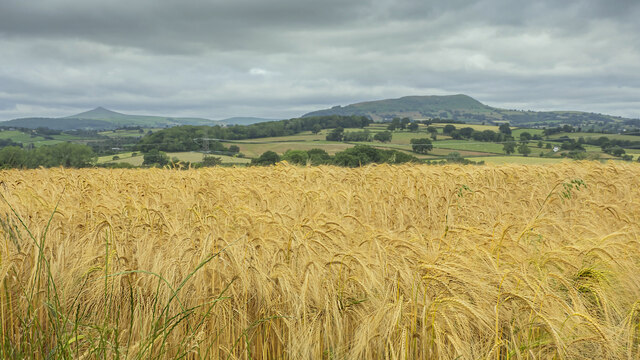
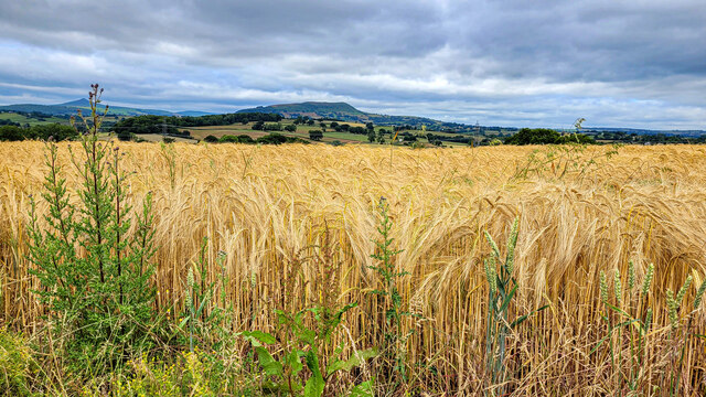
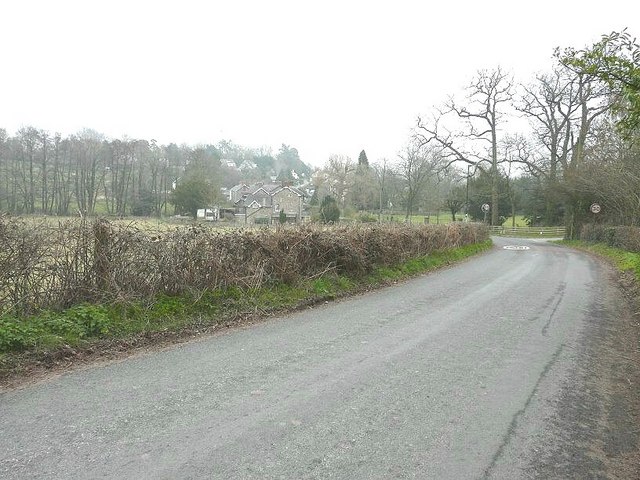
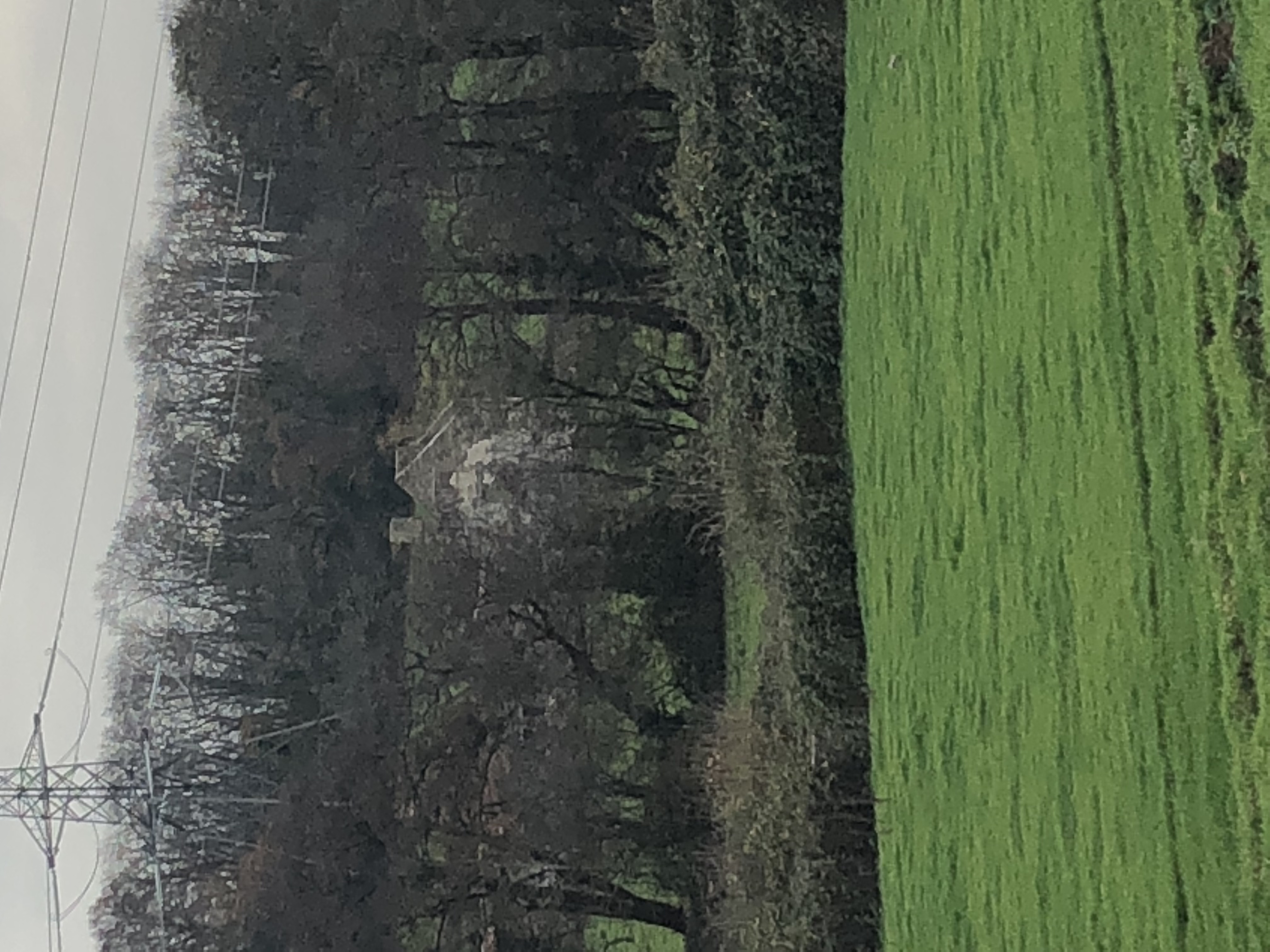
Cefn-gwyn Brake is a woodland area located in Monmouthshire, Wales. Situated near the village of Cefn-gwyn, it is known for its picturesque beauty and diverse ecosystem. The woodland covers an area of approximately 200 acres and is predominantly made up of deciduous trees, such as oak, beech, and ash.

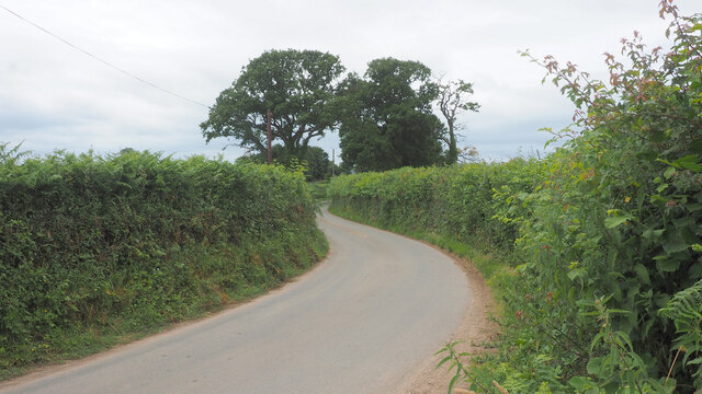
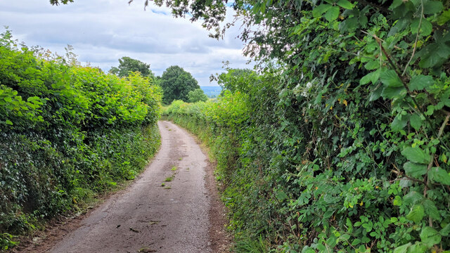
The landscape of Cefn-gwyn Brake is characterized by rolling hills, dense foliage, and a network of walking trails that allow visitors to explore the area. It is a popular destination for nature enthusiasts, hikers, and birdwatchers due to its rich biodiversity. The woodland is home to numerous species of birds, including woodpeckers, owls, and various songbirds.

The forest floor of Cefn-gwyn Brake is covered in a thick carpet of wildflowers and ferns, creating a vibrant and colorful display during the spring and summer months. The area is also home to a variety of wildlife, including deer, badgers, and foxes, which can often be spotted by those exploring the trails.

Cefn-gwyn Brake offers a peaceful and tranquil escape from the hustle and bustle of everyday life. The dense canopy of trees provides shade and shelter, making it an ideal location for picnics and relaxation. The woodland is also a designated Site of Special Scientific Interest (SSSI), highlighting its importance in terms of conservation and preservation.

Overall, Cefn-gwyn Brake in Monmouthshire is a stunning woodland area that offers visitors the opportunity to immerse themselves in nature and experience the beauty of the Welsh countryside.

If you have any feedback on the listing, please let us know in the comments section below.

Cefn-gwyn Brake Images

Images are sourced within 2km of 51.817485/-2.9361978 or Grid Reference SO3513. Thanks to Geograph Open Source API. All images are credited.

Cattle in summer pasture Jersey? Guernsey? Something else? Either way the animals look very content on this pasture land.
Cattle in summer pasture
Jersey? Guernsey? Something else? Either way the animals look very content on this pasture land.
Barley field and great view, 1 The ripening barley in early July with a view to Y Fal, Sugarloaf, left distance and Ysgyryd Fawr, The Skirrid, centre right.
See <a href="https://www.geograph.org.uk/photo/7226965">SO3612 : Barley field and great view, 2</a> for a focus on the barley crop.
Barley field and great view, 1
The ripening barley in early July with a view to Y Fal, Sugarloaf, left distance and Ysgyryd Fawr, The Skirrid, centre right. See SO3612 : Barley field and great view, 2 for a focus on the barley crop.
Road to Llandewi Rhydderch Looking west.
Road to Llandewi Rhydderch
Looking west.
Grassland at The Tump The view south-west towards Mynachdy Farm
Grassland at The Tump
The view south-west towards Mynachdy Farm
Narrow lane Emmasfield Farm is by the bend at the bottom of the road.
Narrow lane
Emmasfield Farm is by the bend at the bottom of the road.
B4233 towards Abergavenny Looking west past the former White Swan pub.
B4233 towards Abergavenny
Looking west past the former White Swan pub.
Lane with a view to Ysgyryd Fawr Looking north.
Lane with a view to Ysgyryd Fawr
Looking north.
Lane and cottage The building is Ffawydden Cottage and is undergoing renovations.
Lane and cottage
The building is Ffawydden Cottage and is undergoing renovations.
Lane to Llanddewi Rhydderch The lane ahead passes through about 15m of the south west corner of the gridsquare.
Lane to Llanddewi Rhydderch
The lane ahead passes through about 15m of the south west corner of the gridsquare.
Cattle in summer pasture, 2 Wide angle shot of the same field and animals as <a href="https://www.geograph.org.uk/photo/7218726">SO3412 : Cattle in summer pasture</a>.
Cattle in summer pasture, 2
Wide angle shot of the same field and animals as SO3412 : Cattle in summer pasture.
Church Lane, Llanddewi Rhydderch The church is situated in the adjacent gridsquare to the west.
Church Lane, Llanddewi Rhydderch
The church is situated in the adjacent gridsquare to the west.
Llandewi Rhydderch Picture of the village centre.
Llandewi Rhydderch
Picture of the village centre.
Lane north to Galchen Photo taken from the bridge over the Pant Brook.
Lane north to Galchen
Photo taken from the bridge over the Pant Brook.
Grassland near Ton Uchaf Farm Most likely ready for cutting soon.
Grassland near Ton Uchaf Farm
Most likely ready for cutting soon.
Barley field and great view, 2 Focus on the crop rather than the hills, compared to <a href="https://www.geograph.org.uk/photo/7218735">SO3612 : Barley field and great view, 1</a>.
The hills in the distance are Sugarloaf, Y Fal, to the left and Ysgyryd Fawr, Skirrid, centre.

You'll remember me when the west wind moves
Upon the fields of barley
You'll forget the sun in his jealous sky
As we walk in fields of gold.

Sting - 'Fields of Gold'
Barley field and great view, 2
Focus on the crop rather than the hills, compared to SO3612 : Barley field and great view, 1. The hills in the distance are Sugarloaf, Y Fal, to the left and Ysgyryd Fawr, Skirrid, centre. You'll remember me when the west wind moves Upon the fields of barley You'll forget the sun in his jealous sky As we walk in fields of gold. Sting - 'Fields of Gold'
The B4233 road entering Llanvapley From the Abergavenny direction
The B4233 road entering Llanvapley
From the Abergavenny direction
Llanddewi Rhydderch Baptist Chapel View of the front of the chapel and the countryside beyond
Llanddewi Rhydderch Baptist Chapel
View of the front of the chapel and the countryside beyond
Country road near Llanddewi Rhydderch
Show me another place!

Cefn-gwyn Brake is located at Grid Ref: SO3513 (Lat: 51.817485, Lng: -2.9361978)

Unitary Authority: Monmouthshire

Police Authority: Gwent

What 3 Words

///inflation.caller.slightly. Near Llanarth, Monmouthshire

Related Wikis

Court Farmhouse, Llanover

Court Farmhouse and the attached Court Farm Cottage, Llanover, Monmouthshire is a country house dating from the early 16th century. Originally two houses...

Llanddewi Rhydderch

Llanddewi Rhydderch is a village in Monmouthshire, Wales at OS grid reference SO 351130. It is off the B4233 road, roughly five miles (8 km) southeast...

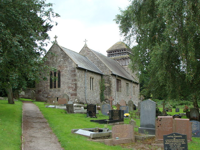
St David's Church, Llanddewi Rhydderch

The Church of St David, Llanddewi Rhydderch, Monmouthshire, Wales is a parish church with its origins in the 12th century. The tower base may date from...

Llanvapley

Llanvapley (Welsh: Llanfable) is a village in the community of Gobion Fawr, in Monmouthshire, south east Wales, United Kingdom. Llan has replaced the...

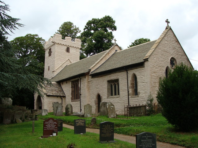
St Mapley's Church, Llanvapley

The Church of St Mapley, Llanvapley, Monmouthshire is a parish church with its origins in the 15th century. Dedicated to St Mable, variants of the dedication...

Coed Morgan

Coed Morgan is a village and rural area in Monmouthshire, south east Wales, in the United Kingdom. == Location == Coed Morgan is situated four miles east...

Coed-y-gelli, Llanarth

Coed-y-gelli, Llanarth, Monmouthshire is a house dating from the late 16th or early 17th centuries. It is a Grade II* listed building. == History == The...

Great Killough

Great Killough, Llantilio Crossenny, Monmouthshire is a substantial manor house of late medieval origins. The majority of the current structures date from...

Nearby Amenities

Located within 500m of 51.817485,-2.9361978
Direction: SSW
Generator Method: photovoltaic
Generator Output Electricity: yes
Generator Solar Modules: 20
Generator Source: solar
Generator Type: solar_photovoltaic_panel
Location: roof
Power: generator
Lat/Long: 51.8203654/-2.9413439
The data included in this document is from www.openstreetmap.org. The data is made available under ODbL.

Have you been to Cefn-gwyn Brake?

Leave your review of Cefn-gwyn Brake below (or comments, questions and feedback).