Coed Graig-ddu
Wood, Forest in Monmouthshire
Wales
Coed Graig-ddu
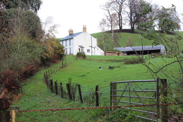
Coed Graig-ddu is a picturesque woodland located in Monmouthshire, Wales. Spanning over a vast area, the forest is renowned for its natural beauty and rich biodiversity. The name Coed Graig-ddu translates to "Black Rock Wood" in English, which accurately describes the area's rocky terrain and dark, dense foliage.
The woodland is predominantly composed of native tree species, including oak, beech, and birch, which provide a diverse and vibrant habitat for a wide range of flora and fauna. The forest floor is covered with a lush carpet of ferns, mosses, and wildflowers, creating a serene and enchanting atmosphere.
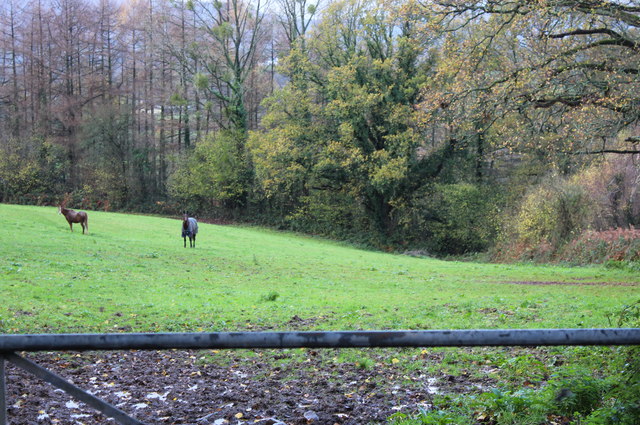
Coed Graig-ddu is a haven for wildlife enthusiasts and nature lovers. The forest is home to various bird species, such as woodpeckers, owls, and warblers, as well as mammals like foxes, badgers, and rabbits. Visitors may also spot elusive creatures like deer and wild boar, which inhabit the deeper parts of the woodland.
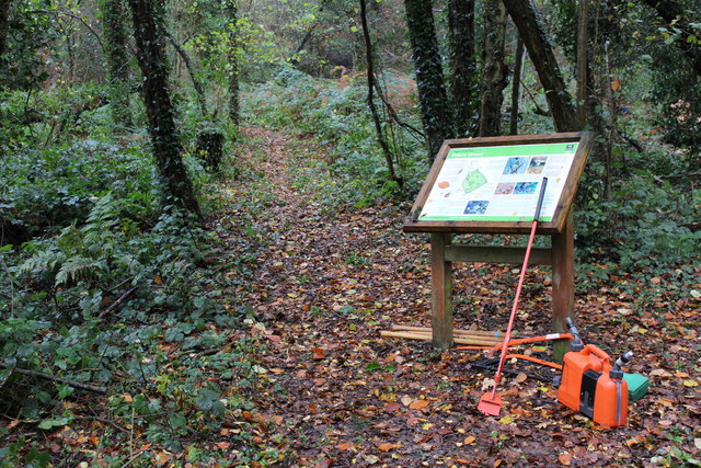
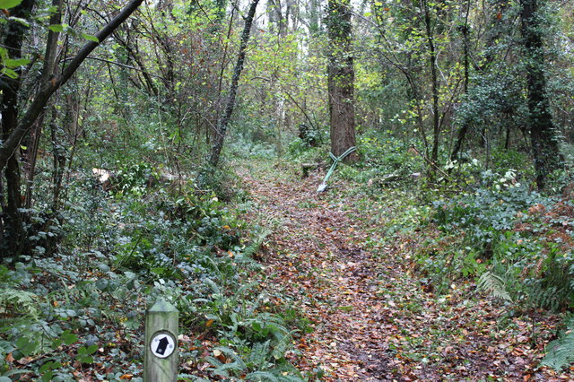
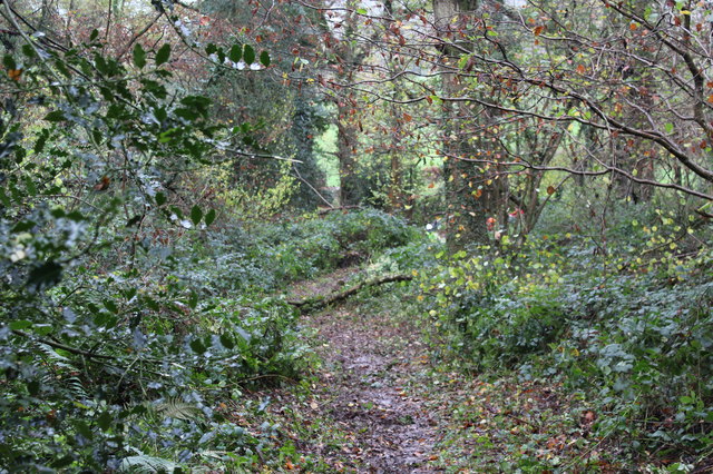
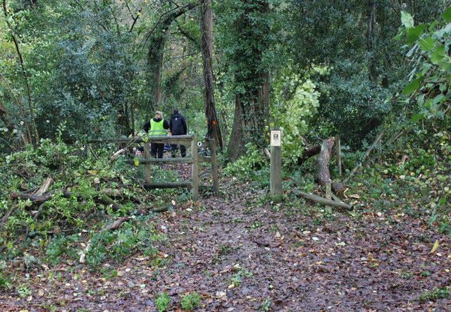
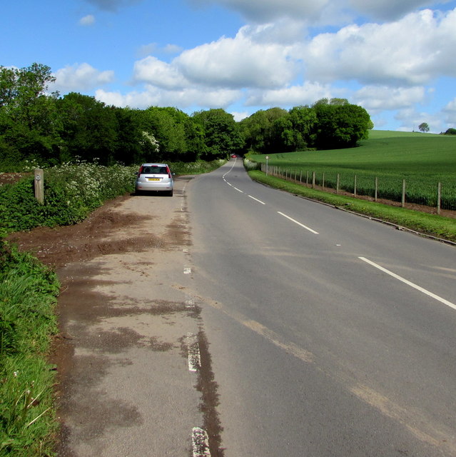
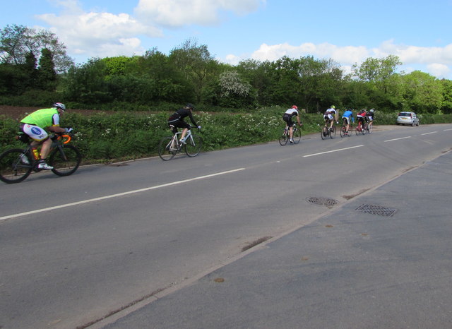
The forest offers numerous walking trails and paths, enabling visitors to explore its natural wonders at their own pace. These trails wind through the trees, revealing breathtaking views of the surrounding countryside and the nearby River Wye. The tranquil atmosphere and the soothing sounds of nature make Coed Graig-ddu an ideal place for relaxation and contemplation.
Overall, Coed Graig-ddu is a captivating woodland that showcases the beauty of Monmouthshire's natural landscape. With its diverse ecosystem and stunning scenery, it is a must-visit destination for those seeking a peaceful escape in nature.
If you have any feedback on the listing, please let us know in the comments section below.
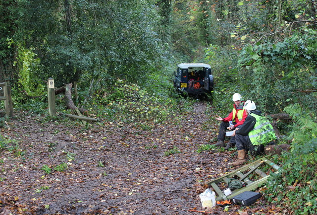
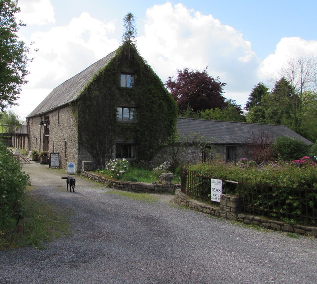
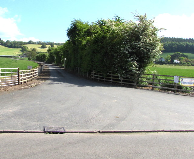
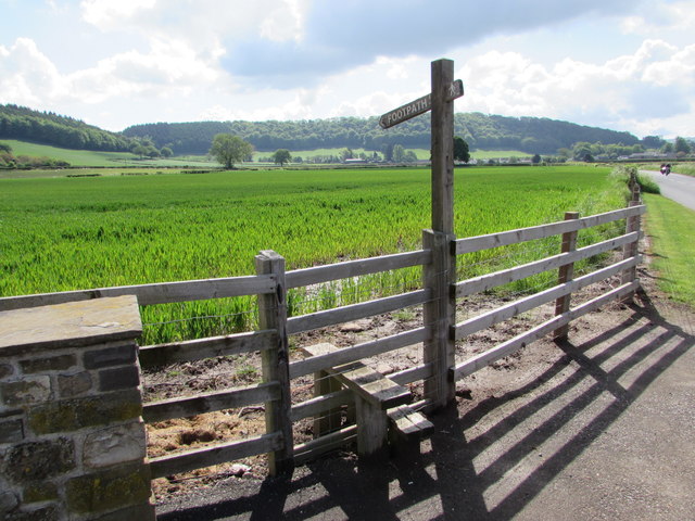
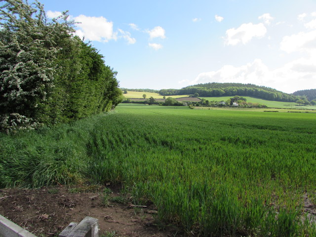
Coed Graig-ddu Images
Images are sourced within 2km of 51.7436/-2.9388117 or Grid Reference SO3505. Thanks to Geograph Open Source API. All images are credited.
Coed Graig-ddu is located at Grid Ref: SO3505 (Lat: 51.7436, Lng: -2.9388117)
Unitary Authority: Monmouthshire
Police Authority: Gwent
What 3 Words
///discusses.years.freezers. Near Usk, Monmouthshire
Nearby Locations
Related Wikis

Alice Springs Golf Club
Alice Springs Golf Club - Now Closed (Welsh: Clwb Golff Alice Springs) is a former golf club based just outside Usk at Monmouthshire, Wales. Alice Springs...

Kemeys Commander
Kemeys Commander (Welsh: Cemais Comawndwr) is a village in Monmouthshire, in South East Wales. == Location == Kemeys Commander, 3 miles (4.8 km) north...
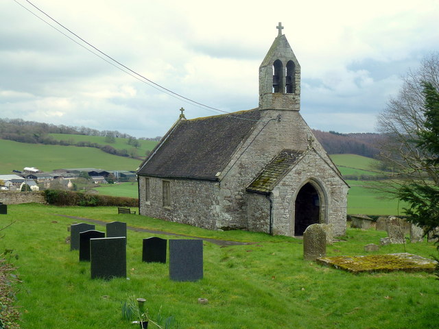
Church of All Saints, Kemeys Commander
The Church of All Saints, Kemeys Commander, Monmouthshire, Wales, is a parish church with its origins in the 13th century. It is a Grade II* listed building...

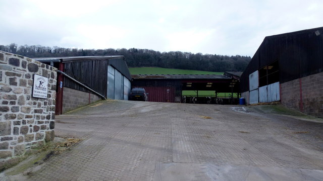
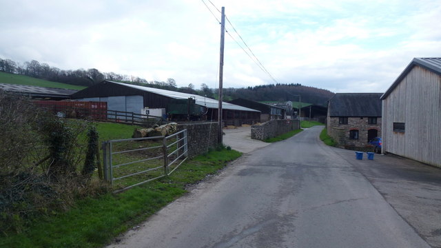
Church Farmhouse, Kemeys Commander
Church Farmhouse, Kemeys Commander, Monmouthshire is a former parsonage dating from the mid-16th century. The farmhouse and the attached barn are Grade...

Church of St Aeddan, Bettws Newydd
The Church of St Aeddan, Bettws Newydd, Monmouthshire, Wales, is a fifteenth-century church of twelfth-century origin. It contains a notable rood screen...

Bettws Newydd
Bettws Newydd (Welsh: Betws Newydd) is a small village in Monmouthshire, in southeast Wales located about 3+1⁄2 miles (5.6 km) north of Usk, a few miles...

St David's Church, Trostrey
The Church of St David, Trostrey, Monmouthshire, Wales, is a parish church with its origins in the 14th century. Its founder may have been Geoffrey Marshall...
Trostrey
Trostrey (Welsh: Trostre) is a small hamlet and parish in Monmouthshire, in southeast Wales located about 2+1⁄2 miles (4.0 km) north/northwest of Usk....
Nearby Amenities
Located within 500m of 51.7436,-2.9388117Have you been to Coed Graig-ddu?
Leave your review of Coed Graig-ddu below (or comments, questions and feedback).