Claltan Coppice

Wood, Forest in Monmouthshire

Wales

Claltan Coppice

Priory Wood Nature Reserve, Monmouthshire Gwent Wildlife Trust information board with path, cleared that day, going to the left uphill. The tools are being used by a Trust working party on a rainy autumnal day.
Priory Wood Nature Reserve, Monmouthshire Credit: M J Roscoe

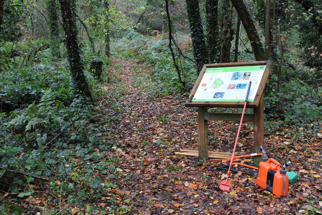
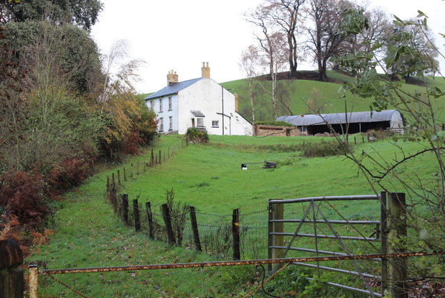
Claltan Coppice is a picturesque woodland located in Monmouthshire, Wales. Covering an area of approximately 100 acres, it is a significant natural treasure in the region. The coppice is situated near the village of Claltan, surrounded by rolling hills and breathtaking landscapes.

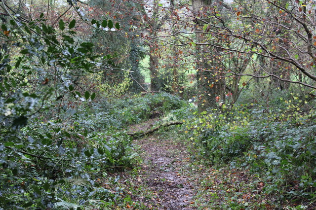
The woodland is predominantly composed of large, ancient oak trees, some of which are believed to be over 200 years old. These majestic trees create a dense canopy, providing shade and shelter to a variety of flora and fauna that call this forest their home. The forest floor is carpeted with a rich layer of leaf litter, creating a fertile ground for a diverse range of plant species to thrive.

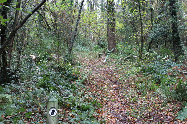
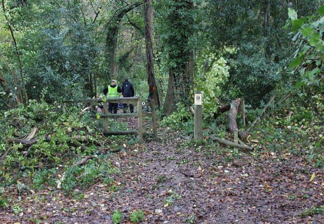
Claltan Coppice is not only a haven for wildlife but also offers a peaceful retreat for nature enthusiasts. It provides ample opportunities for leisurely walks and nature trails, allowing visitors to immerse themselves in the tranquility of the forest. The forest paths wind their way through the woodland, revealing hidden streams, mossy rocks, and vibrant wildflowers along the way.

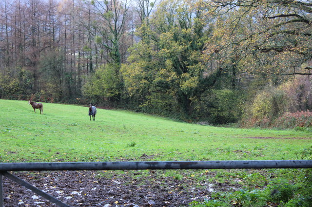
The coppice is home to a wealth of wildlife, including various bird species, such as woodpeckers and owls, as well as small mammals like foxes and badgers. In the spring and summer months, the forest comes alive with the enchanting songs of birds and the buzzing of insects.

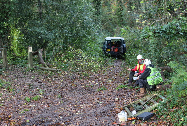
The preservation of Claltan Coppice is of utmost importance, and efforts are being made to protect and conserve this natural habitat. Local conservation groups organize regular clean-up campaigns and educational programs to raise awareness about the importance of preserving this woodland for future generations.

If you have any feedback on the listing, please let us know in the comments section below.

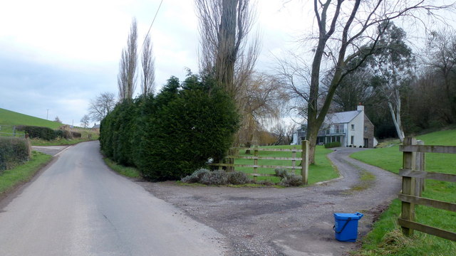
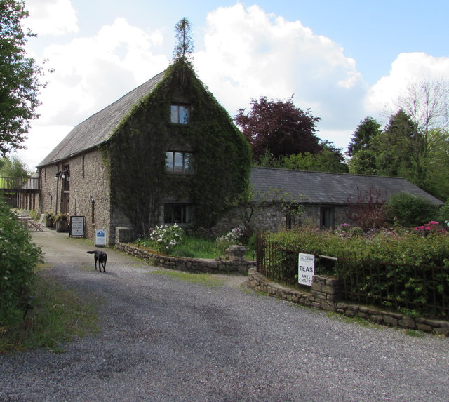
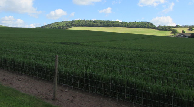
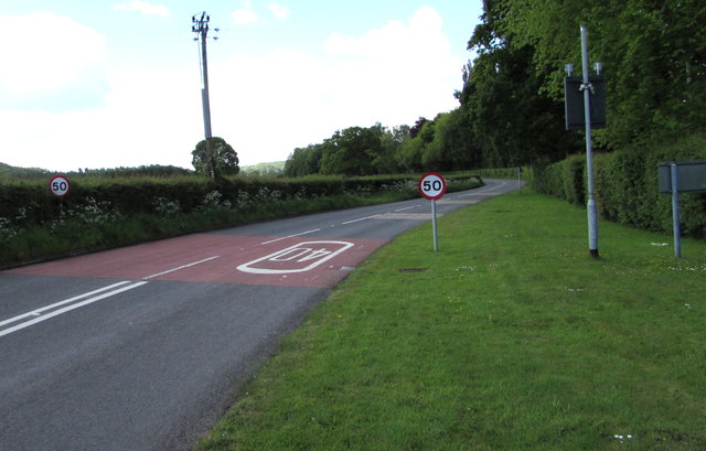
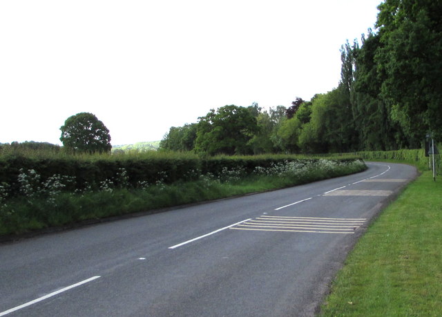
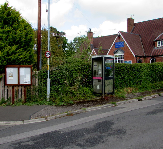
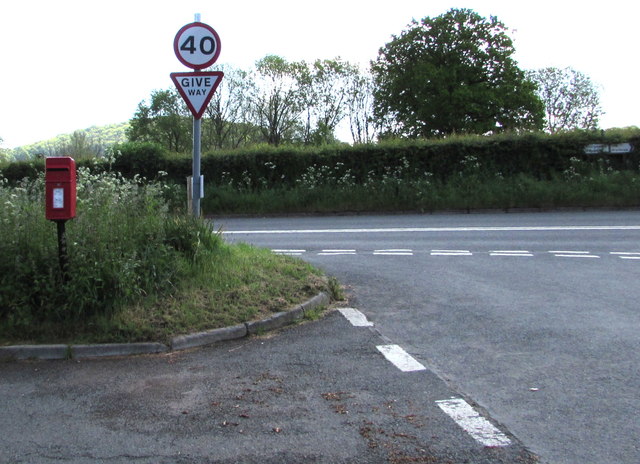
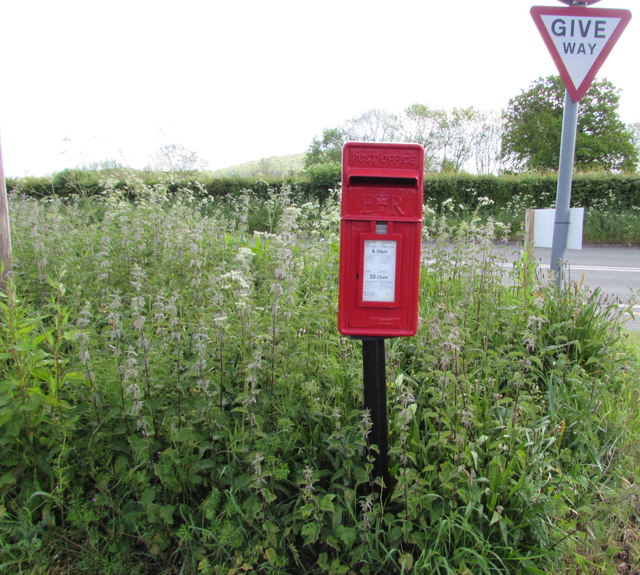
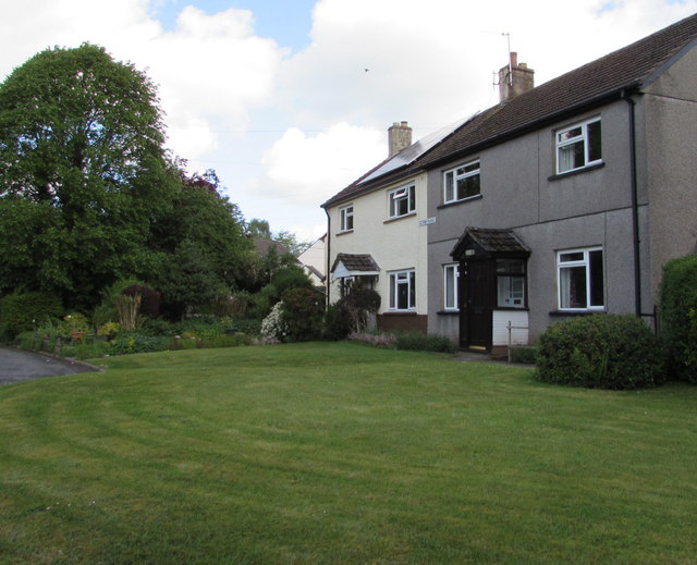
Claltan Coppice Images

Images are sourced within 2km of 51.750431/-2.9413436 or Grid Reference SO3506. Thanks to Geograph Open Source API. All images are credited.

Priory Wood Nature Reserve, Monmouthshire Gwent Wildlife Trust information board with path, cleared that day, going to the left uphill. The tools are being used by a Trust working party on a rainy autumnal day.
Priory Wood Nature Reserve, Monmouthshire
Gwent Wildlife Trust information board with path, cleared that day, going to the left uphill. The tools are being used by a Trust working party on a rainy autumnal day.
Priory Wood Nature Reserve, Monmouthshire Track uphill viewed from near the GWT information board  in <a href="https://www.geograph.org.uk/photo/4743344">SO3505 : Priory Wood Nature Reserve, Monmouthshire</a>. The rope strop round the base of the tree was to assist in felling an unsafe tree.
Priory Wood Nature Reserve, Monmouthshire
Track uphill viewed from near the GWT information board in SO3505 : Priory Wood Nature Reserve, Monmouthshire. The rope strop round the base of the tree was to assist in felling an unsafe tree.
Priory Wood Nature Reserve, Monmouthshire Looking down track from near information board in <a href="https://www.geograph.org.uk/photo/4743344">SO3505 : Priory Wood Nature Reserve, Monmouthshire</a>. The branch lying across the track is the result of removing unsafe tree branches by a Gwent Wildlife Trust working party.
Priory Wood Nature Reserve, Monmouthshire
Looking down track from near information board in SO3505 : Priory Wood Nature Reserve, Monmouthshire. The branch lying across the track is the result of removing unsafe tree branches by a Gwent Wildlife Trust working party.
Entrance, Priory Wood Nature Reserve Two volunteer members of a Gwent Wildlife Trust working party having a lunch break during a break in the rain. The small gate on the ground had been removed to prevent its being damaged during lopping of unsafe branches; note that, to the left, a branch has broken the fence.
Entrance, Priory Wood Nature Reserve
Two volunteer members of a Gwent Wildlife Trust working party having a lunch break during a break in the rain. The small gate on the ground had been removed to prevent its being damaged during lopping of unsafe branches; note that, to the left, a branch has broken the fence.
Pedestrian entrance, Priory Wood Nature Reserve The gate had been removed to prevent its being damaged during tree surgery by Gwent Wildlife Trust. The fence to the right of the gate post has been damaged by a falling branch. The tree (centre) marked with a red spot was felled later that afternoon.
Pedestrian entrance, Priory Wood Nature Reserve
The gate had been removed to prevent its being damaged during tree surgery by Gwent Wildlife Trust. The fence to the right of the gate post has been damaged by a falling branch. The tree (centre) marked with a red spot was felled later that afternoon.
Thornberry Cottage near Priory Wood A cottage, across the minor road from Priory Wood NR.
Thornberry Cottage near Priory Wood
A cottage, across the minor road from Priory Wood NR.
Paddock above River Usk Horses in field alongside minor road from Chain Bridge.
Paddock above River Usk
Horses in field alongside minor road from Chain Bridge.
St. David's church, Trostrey A delightful spot on the hillside overlooking Trostrey Court, seen beyond.
Compare with Phil's photo from April 2008; <a href="https://www.geograph.org.uk/photo/764619">SO3504 : St David's church at Trostrey</a>.
St. David's church, Trostrey
A delightful spot on the hillside overlooking Trostrey Court, seen beyond. Compare with Phil's photo from April 2008; SO3504 : St David's church at Trostrey.
Designer house, Redgate Below Coed Yr Allt, to the right, by the junction with Church Road.
Designer house, Redgate
Below Coed Yr Allt, to the right, by the junction with Church Road.
Craft Renaissance, Kemeys Commander, Monmouthshire Craft Renaissance (gallery, cafe & workshops) is set back from the west side of the B4598 in rural Monmouthshire.
Craft Renaissance, Kemeys Commander, Monmouthshire
Craft Renaissance (gallery, cafe & workshops) is set back from the west side of the B4598 in rural Monmouthshire.
Towards Coed Mawr and Trostrey Wood, Monmouthshire Viewed from the edge of the B4598 near Llancayo.
Towards Coed Mawr and Trostrey Wood, Monmouthshire
Viewed from the edge of the B4598 near Llancayo.
Southern boundary of Llanvair Kilgeddin, Monmouthshire The boundary sign is alongside the B4598 at the southern edge of Llanvair Kilgeddin, a small village between Usk and Abergavenny. The village is also Llanfair Kilgeddin in English and Llanfair Cilgedin in Welsh.
Southern boundary of Llanvair Kilgeddin, Monmouthshire
The boundary sign is alongside the B4598 at the southern edge of Llanvair Kilgeddin, a small village between Usk and Abergavenny. The village is also Llanfair Kilgeddin in English and Llanfair Cilgedin in Welsh.
From 40 to 50 beyond Llanfair Kilgeddin, Monmouthshire The 40mph speed limit on the B4598 increases to 50mph beyond the southern edge of  Llanfair Kilgeddin. 
Part of the grey back of the village boundary sign <a title="https://www.geograph.org.uk/photo/5391758" href="https://www.geograph.org.uk/photo/5391758">Link</a> is on the right.
From 40 to 50 beyond Llanfair Kilgeddin, Monmouthshire
The 40mph speed limit on the B4598 increases to 50mph beyond the southern edge of Llanfair Kilgeddin. Part of the grey back of the village boundary sign Link is on the right.
B4598 from Llanfair Kilgeddin towards Kemeys Commander, Monmouthshire The lines on the right side of the road are on the approach to a drop in
the speed limit at the southern edge of Llanfair Kilgeddin in rural Monmouthshire.
B4598 from Llanfair Kilgeddin towards Kemeys Commander, Monmouthshire
The lines on the right side of the road are on the approach to a drop in the speed limit at the southern edge of Llanfair Kilgeddin in rural Monmouthshire.
Village phonebox, Llanfair Kilgeddin, Monmouthshire  The BT public pay phonebox is near the village primary school. A public noticeboard is on the left.
Village phonebox, Llanfair Kilgeddin, Monmouthshire
The BT public pay phonebox is near the village primary school. A public noticeboard is on the left.
From 20 to 40 in Llanfair Kilgeddin, Monmouthshire  The 20mph speed limit near the village primary school increases to 40mph on the B4598 ahead.
Direction signs alongside the hedge on the right show left for Abergavenny, right for Usk.
From 20 to 40 in Llanfair Kilgeddin, Monmouthshire
The 20mph speed limit near the village primary school increases to 40mph on the B4598 ahead. Direction signs alongside the hedge on the right show left for Abergavenny, right for Usk.
Queen Elizabeth II postbox surrounded by nettles,  Llanfair Kilgeddin, Monmouthshire Located here. <a title="https://www.geograph.org.uk/photo/5391824" href="https://www.geograph.org.uk/photo/5391824">Link</a>
Queen Elizabeth II postbox surrounded by nettles, Llanfair Kilgeddin, Monmouthshire
Located here. Link
Gethin Place houses, Llanfair Kilgeddin, Monmouthshire The name sign on the wall of the two semi-detached houses shows GETHIN PLACE.
Gethin Place houses, Llanfair Kilgeddin, Monmouthshire
The name sign on the wall of the two semi-detached houses shows GETHIN PLACE.
Show me another place!

Claltan Coppice is located at Grid Ref: SO3506 (Lat: 51.750431, Lng: -2.9413436)

Unitary Authority: Monmouthshire

Police Authority: Gwent

What 3 Words

///adhesive.superhero.installs. Near Llanarth, Monmouthshire

Nearby Locations

Claltan Coppice

Related Wikis

Alice Springs Golf Club

Alice Springs Golf Club - Now Closed (Welsh: Clwb Golff Alice Springs) is a former golf club based just outside Usk at Monmouthshire, Wales. Alice Springs...
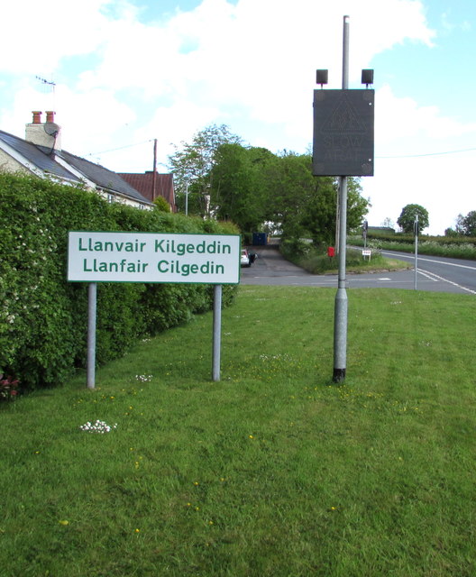
Llanfair Kilgeddin

Llanfair Kilgeddin (Welsh: Llanfair Cilgedin) is a small village in Monmouthshire, south east Wales, lying within the administrative community of Llanover...

Bettws Newydd

Bettws Newydd (Welsh: Betws Newydd) is a small village in Monmouthshire, in southeast Wales located about 3+1⁄2 miles (5.6 km) north of Usk, a few miles...

Church of St Aeddan, Bettws Newydd

The Church of St Aeddan, Bettws Newydd, Monmouthshire, Wales, is a fifteenth-century church of twelfth-century origin. It contains a notable rood screen...

Kemeys Commander

Kemeys Commander (Welsh: Cemais Comawndwr) is a village in Monmouthshire, in South East Wales. == Location == Kemeys Commander, 3 miles (4.8 km) north...

Church of All Saints, Kemeys Commander

The Church of All Saints, Kemeys Commander, Monmouthshire, Wales, is a parish church with its origins in the 13th century. It is a Grade II* listed building...

Church Farmhouse, Kemeys Commander

Church Farmhouse, Kemeys Commander, Monmouthshire is a former parsonage dating from the mid-16th century. The farmhouse and the attached barn are Grade...

Nant-y-derry

Nant-y-derry (Welsh: Nant-y-deri) is a village in the county of Monmouthshire, Wales, located six miles south east of Abergavenny and four miles northwest...

Nearby Amenities

Located within 500m of 51.750431,-2.9413436
Bunker Type: pillbox
Military: bunker
Lat/Long: 51.7475045/-2.9404355
Turning Circle
Lat/Long: 51.7504037/-2.9444266
Direction: SSE
Generator Method: photovoltaic
Generator Output Electricity: yes
Generator Solar Modules: 20
Generator Source: solar
Generator Type: solar_photovoltaic_panel
Location: roof
Power: generator
Lat/Long: 51.7474565/-2.9460351
Direction: SSE
Generator Method: photovoltaic
Generator Output Electricity: yes
Generator Solar Modules: 20
Generator Source: solar
Generator Type: solar_photovoltaic_panel
Location: roof
Power: generator
Lat/Long: 51.7473971/-2.9462135
The data included in this document is from www.openstreetmap.org. The data is made available under ODbL.

Have you been to Claltan Coppice?

Leave your review of Claltan Coppice below (or comments, questions and feedback).