Coed Heol

Wood, Forest in Monmouthshire

Wales

Coed Heol

Shore of Llandegfedd Reservoir Shore of an inlet on the north east part of the reservoir, which does not appear to be full. This littoral area is closed to the public from 1 November to 1 March as it used by overwintering wildfowl.
Shore of Llandegfedd Reservoir Credit: M J Roscoe

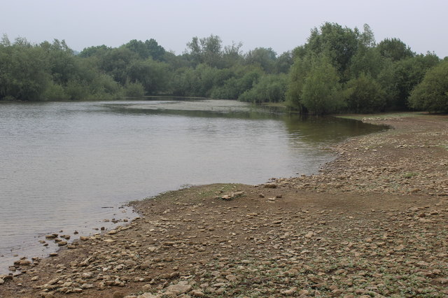
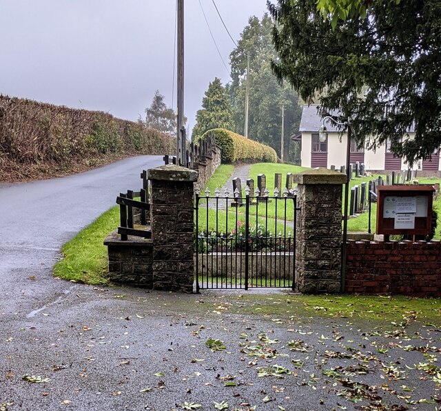
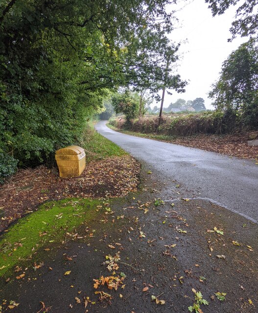
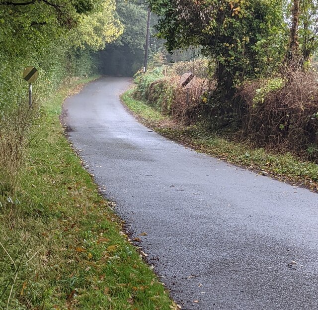
Coed Heol is a picturesque wood located in Monmouthshire, Wales. Situated in the heart of the county, this enchanting forest covers an area of approximately 100 acres. It is a popular destination for nature enthusiasts, hikers, and families looking for a serene outdoor experience.

The wood is home to a diverse range of flora and fauna, providing an ideal habitat for numerous plant and animal species. Visitors can expect to encounter towering oak trees, majestic beeches, and an array of vibrant wildflowers. The forest floor is adorned with a carpet of moss and ferns, creating a magical and tranquil atmosphere.

Coed Heol offers several well-maintained trails that cater to different fitness levels. These paths wind through the woodland, offering stunning views of the surrounding countryside. The forest also boasts a small stream that meanders its way through the trees, providing a peaceful soundtrack to the visitor's journey.

For those interested in wildlife spotting, Coed Heol is teeming with various species. Birdwatchers can expect to see a variety of birds, including woodpeckers, owls, and thrushes. In addition, the forest is also home to mammals such as foxes, badgers, and rabbits.

Whether it is a leisurely stroll, a family picnic, or an opportunity to immerse oneself in nature, Coed Heol offers a serene and idyllic setting for all. With its natural beauty and peaceful ambiance, this wood in Monmouthshire is a must-visit destination for anyone seeking a respite from the hustle and bustle of everyday life.

If you have any feedback on the listing, please let us know in the comments section below.
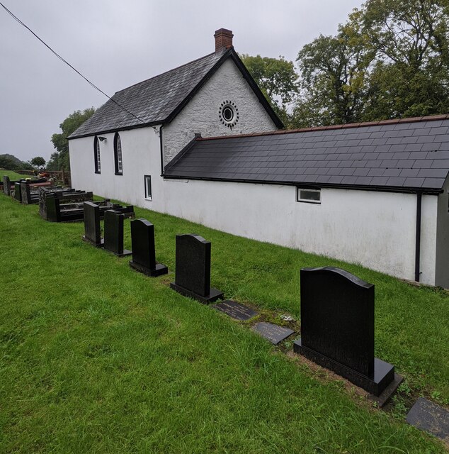
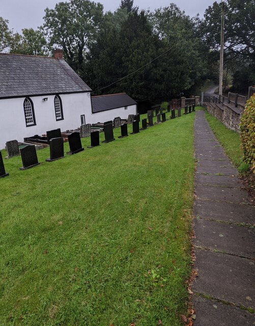
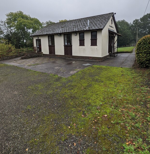
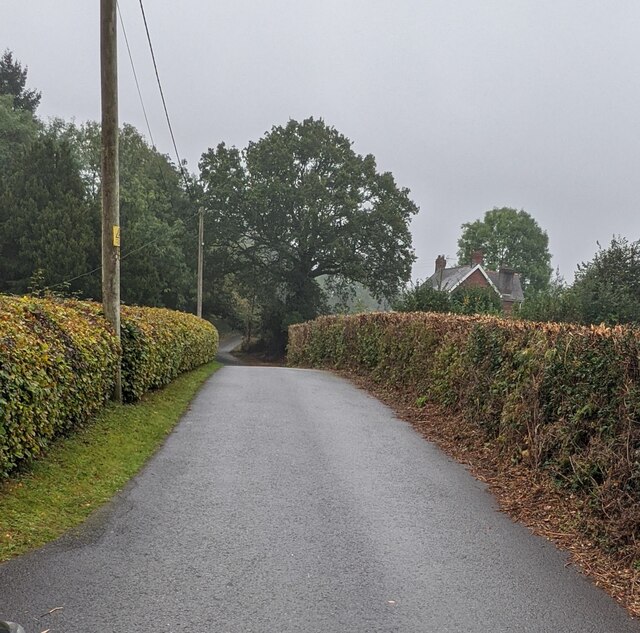
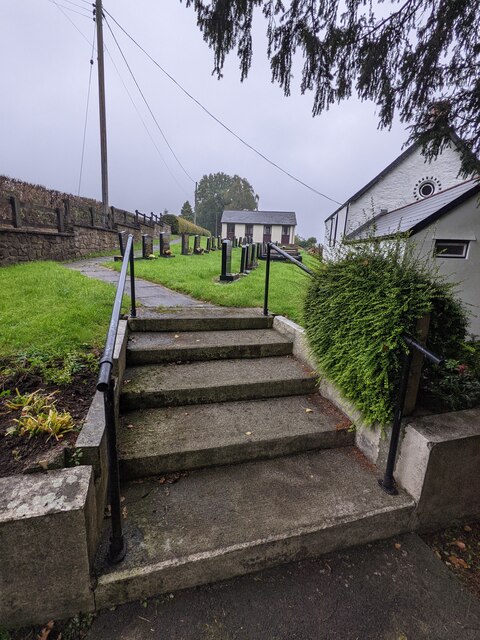
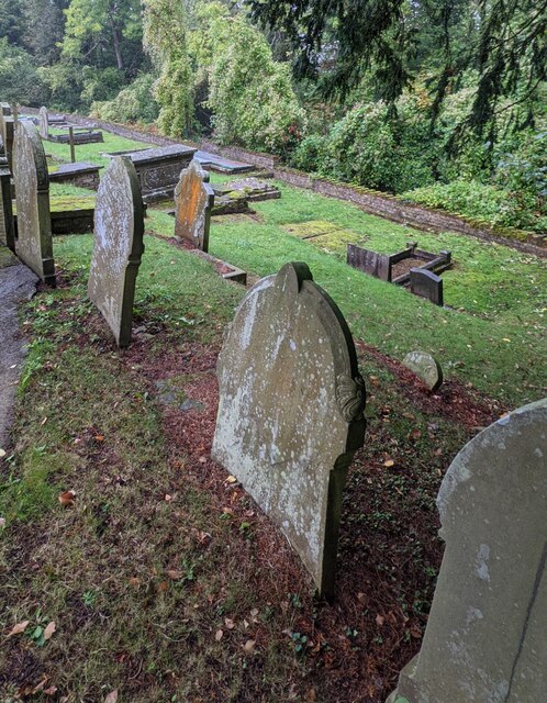
Coed Heol Images

Images are sourced within 2km of 51.686996/-2.9414879 or Grid Reference ST3599. Thanks to Geograph Open Source API. All images are credited.

Shore of Llandegfedd Reservoir Shore of an inlet on the north east part of the reservoir, which does not appear to be full. This littoral area is closed to the public from 1 November to 1 March as it used by overwintering wildfowl.
Shore of Llandegfedd Reservoir
Shore of an inlet on the north east part of the reservoir, which does not appear to be full. This littoral area is closed to the public from 1 November to 1 March as it used by overwintering wildfowl.
Mount Zion Baptist Church, Glascoed, Monmouthshire Set below road level. Also known as Mount Zion Baptist Chapel, though the nameboard here <a title="https://www.geograph.org.uk/photo/6995019" href="https://www.geograph.org.uk/photo/6995019">Link</a> in 2021 shows Mount Zion Baptist Church.
Mount Zion Baptist Church, Glascoed, Monmouthshire
Set below road level. Also known as Mount Zion Baptist Chapel, though the nameboard here Link in 2021 shows Mount Zion Baptist Church.
Mount Zion Baptist Church nameboard, Glascoed, Monmouthshire The church <a title="https://www.geograph.org.uk/photo/6995016" href="https://www.geograph.org.uk/photo/6995016">Link</a> is in the background.
Mount Zion Baptist Church nameboard, Glascoed, Monmouthshire
The church Link is in the background.
The Manse, Glascoed, Monmouthshire Detached house located near Mount Zion Baptist Church. <a title="https://www.geograph.org.uk/photo/6995016" href="https://www.geograph.org.uk/photo/6995016">Link</a>
The Manse, Glascoed, Monmouthshire
Detached house located near Mount Zion Baptist Church. Link
Gravestones and church, Glascoed, Monmouthshire These gravestones date from the 20th or 21st century. 
Older gravestones <a title="https://www.geograph.org.uk/photo/6995409" href="https://www.geograph.org.uk/photo/6995409">Link</a> are elsewhere in Mount Zion Baptist churchyard.
Gravestones and church, Glascoed, Monmouthshire
These gravestones date from the 20th or 21st century. Older gravestones Link are elsewhere in Mount Zion Baptist churchyard.
Path above a churchyard, Glascoed, Monmouthshire Mount Zion Baptist Church <a title="https://www.geograph.org.uk/photo/6995016" href="https://www.geograph.org.uk/photo/6995016">Link</a> is on the left.
Path above a churchyard, Glascoed, Monmouthshire
Mount Zion Baptist Church Link is on the left.
Fellowship Hall, Glascoed, Monmouthshire The hall for the nearby Mount Zion Baptist Church. <a title="https://www.geograph.org.uk/photo/6995016" href="https://www.geograph.org.uk/photo/6995016">Link</a>
Fellowship Hall, Glascoed, Monmouthshire
The hall for the nearby Mount Zion Baptist Church. Link
Hedge-lined road, Glascoed, Monmouthshire Mount Zion Baptist Church <a title="https://www.geograph.org.uk/photo/6995016" href="https://www.geograph.org.uk/photo/6995016">Link</a> is nearby.
Hedge-lined road, Glascoed, Monmouthshire
Mount Zion Baptist Church Link is nearby.
Trees alongside a minor road in Glascoed, Monmouthshire Mount Zion Baptist Church <a title="https://www.geograph.org.uk/photo/6995016" href="https://www.geograph.org.uk/photo/6995016">Link</a> is near the camera.
Trees alongside a minor road in Glascoed, Monmouthshire
Mount Zion Baptist Church Link is near the camera.
Wooden gate across a car park entrance, Glascoed, Monmouthshire The notice on the gate here <a title="https://www.geograph.org.uk/photo/6995289" href="https://www.geograph.org.uk/photo/6995289">Link</a> shows PLEASE CLOSE THE GATE.
Wooden gate across a car park entrance, Glascoed, Monmouthshire
The notice on the gate here Link shows PLEASE CLOSE THE GATE.
Churchyard entrance gates, Glascoed, Monmouthshire Ahead for Mount Zion Baptist Church <a title="https://www.geograph.org.uk/photo/6995016" href="https://www.geograph.org.uk/photo/6995016">Link</a> and the Fellowship Hall. <a title="https://www.geograph.org.uk/photo/6995282" href="https://www.geograph.org.uk/photo/6995282">Link</a>
Churchyard entrance gates, Glascoed, Monmouthshire
Ahead for Mount Zion Baptist Church Link and the Fellowship Hall. Link
Yellow salt/grit box, Glascoed, Monmouthshire The entrance gates <a title="https://www.geograph.org.uk/photo/6995307" href="https://www.geograph.org.uk/photo/6995307">Link</a> to Mount Zion Baptist churchyard are behind the camera.
Yellow salt/grit box, Glascoed, Monmouthshire
The entrance gates Link to Mount Zion Baptist churchyard are behind the camera.
National Speed Limit signs, Glascoed, Monmouthshire At the end of the 30mph speed limit in Glascoed. 
Ahead for the village of Coed-y-paen, Monmouthshire.
National Speed Limit signs, Glascoed, Monmouthshire
At the end of the 30mph speed limit in Glascoed. Ahead for the village of Coed-y-paen, Monmouthshire.
Information board above a low brick wall, Glascoed, Monmouthshire On the right here. <a title="https://www.geograph.org.uk/photo/6995307" href="https://www.geograph.org.uk/photo/6995307">Link</a> Text in view in October 2021 includes

"MOUNT ZION BAPTIST CHAPEL GLASCOED. WE ARE NOW OPEN EVERY SUNDAY AT 3PM. PLEASE JOIN US. EVERYONE WELCOME!" and "SMALL CHAPEL - BIG WELCOME. THIS CHAPEL NEEDS YOU!"

Although "chapel" is used here, the nearby nameboard <a title="https://www.geograph.org.uk/photo/6995019" href="https://www.geograph.org.uk/photo/6995019">Link</a> shows MOUNT ZION BAPTIST CHURCH
Information board above a low brick wall, Glascoed, Monmouthshire
On the right here. Link Text in view in October 2021 includes "MOUNT ZION BAPTIST CHAPEL GLASCOED. WE ARE NOW OPEN EVERY SUNDAY AT 3PM. PLEASE JOIN US. EVERYONE WELCOME!" and "SMALL CHAPEL - BIG WELCOME. THIS CHAPEL NEEDS YOU!" Although "chapel" is used here, the nearby nameboard Link shows MOUNT ZION BAPTIST CHURCH
Steps up to Mount Zion Baptist churchyard, Glascoed, Monmouthshire Mount Zion Baptist Church <a title="https://www.geograph.org.uk/photo/6995016" href="https://www.geograph.org.uk/photo/6995016">Link</a> is on the right.
Fellowship Hall <a title="https://www.geograph.org.uk/photo/6995282" href="https://www.geograph.org.uk/photo/6995282">Link</a> is in the background.
Steps up to Mount Zion Baptist churchyard, Glascoed, Monmouthshire
Mount Zion Baptist Church Link is on the right. Fellowship Hall Link is in the background.
Notice on a chapel entrance door, Glascoed, Monmouthshire In October 2021 the notice shows 
 
WE ARE NOW OPEN EVERY SUNDAY AT 3PM. PLEASE JOIN US. EVERYONE WELCOME!

Although "chapel" is used here, the nearby nameboard <a title="https://www.geograph.org.uk/photo/6995019" href="https://www.geograph.org.uk/photo/6995019">Link</a> shows MOUNT ZION BAPTIST CHURCH
Notice on a chapel entrance door, Glascoed, Monmouthshire
In October 2021 the notice shows WE ARE NOW OPEN EVERY SUNDAY AT 3PM. PLEASE JOIN US. EVERYONE WELCOME! Although "chapel" is used here, the nearby nameboard Link shows MOUNT ZION BAPTIST CHURCH
Old gravestones, Glascoed, Monmouthshire These gravestones in Mount Zion Baptist churchyard 
are much older than these <a title="https://www.geograph.org.uk/photo/6995273" href="https://www.geograph.org.uk/photo/6995273">Link</a> nearby gravestones.
Old gravestones, Glascoed, Monmouthshire
These gravestones in Mount Zion Baptist churchyard are much older than these Link nearby gravestones.
Welcome to Woodlake Park Golf Club, Monmouthshire The Welcome board is alongside a grid across 
the entrance from the road from Glascoed to Coed-y-Paen.
Welcome to Woodlake Park Golf Club, Monmouthshire
The Welcome board is alongside a grid across the entrance from the road from Glascoed to Coed-y-Paen.
Show me another place!

Coed Heol is located at Grid Ref: ST3599 (Lat: 51.686996, Lng: -2.9414879)

Unitary Authority: Monmouthshire

Police Authority: Gwent

What 3 Words

///crunched.pirates.protests. Near Llanbadoc, Monmouthshire

Nearby Locations

Coed Heol

Related Wikis

HM Prison Prescoed

HM Prison Prescoed (Welsh: Carchar Prescoed EF) is a Category D men's open prison, located in Coed-y-paen, three miles from Usk in Monmouthshire, Wales...

Usk Inlier

The Usk Inlier is a domed outcrop of rock strata of Silurian age in Monmouthshire in south-eastern Wales. It is located in the countryside between the...

Coed-y-paen

Coed-y-paen is a village in South Wales, situated at the south-eastern end of Llandegfedd Reservoir, 2.5 miles (4 km) north-west of Llangybi. HM Prison...

Cefn Ila

Cefn Ila (Welsh: Coed Cefn Ila) is an 83 acres (34 ha) woodland located in Llanbadoc, a mile away from Usk, Monmouthshire, Wales, owned and run by the...

Tregrug Castle

Tregrug Castle (Welsh: Castell Tregrug; Welsh pronunciation: [ˈkastɛɬ trɛˈɡriːɡ]) or Llangibby Castle is a ruin in Monmouthshire, Wales, located about...

Llandegfedd Reservoir

Llandegfedd Reservoir (also known as Llandegveth Reservoir) is a large 174 hectare water supply reservoir and is eight miles (13 km) north of Newport...

ROF Glascoed

ROF Glascoed (today BAE Systems Munitions Glascoed) was built as a UK government-owned, Royal Ordnance Factory (ROF). It was designed as one of 20 munitions...

Llanbadoc

Llanbadoc (Welsh: Llanbadog Fawr) is a village and community in the county of Monmouthshire and the preserved county of Gwent in Wales. The population...

Nearby Amenities

Located within 500m of 51.686996,-2.9414879
Created By: GPSBabel-1.3.6
Lat/Long: 51.687596/-2.935386
Created By: GPSBabel-1.3.6
Lat/Long: 51.687483/-2.935466
Created By: GPSBabel-1.3.6
Lat/Long: 51.686895/-2.936003
Created By: GPSBabel-1.3.6
Lat/Long: 51.686803/-2.936062
Created By: GPSBabel-1.3.6
Lat/Long: 51.687167/-2.935893
Created By: GPSBabel-1.3.6
Lat/Long: 51.686076/-2.936725
Created By: GPSBabel-1.3.6
Lat/Long: 51.68662/-2.936173
Created By: GPSBabel-1.3.6
Lat/Long: 51.686299/-2.936464
Created By: GPSBabel-1.3.6
Lat/Long: 51.686411/-2.936338
Created By: GPSBabel-1.3.6
Lat/Long: 51.685189/-2.937524
Created By: GPSBabel-1.3.6
Lat/Long: 51.685067/-2.937586
Created By: GPSBabel-1.3.6
Lat/Long: 51.685424/-2.937348
Created By: GPSBabel-1.3.6
Lat/Long: 51.68554/-2.937242
Created By: GPSBabel-1.3.6
Lat/Long: 51.688198/-2.935068
Created By: GPSBabel-1.3.6
Lat/Long: 51.682546/-2.941315
Cwm Wood
Natural: wood
Lat/Long: 51.6842005/-2.9464317
Coed Mawr
Natural: wood
Lat/Long: 51.6848904/-2.941018
Coed Heol
Natural: wood
Lat/Long: 51.6873169/-2.9419863
Power: pole
Lat/Long: 51.6859617/-2.9346398
Power: pole
Lat/Long: 51.6851635/-2.9358146
Power: pole
Lat/Long: 51.6842023/-2.9372227
Power: pole
Lat/Long: 51.6868769/-2.9485891
Crossing
Crossing: uncontrolled
Crossing Island: no
Crossing Markings: zebra
Tactile Paving: no
Lat/Long: 51.6865881/-2.9437496
Crossing
Crossing: uncontrolled
Crossing Island: no
Crossing Markings: zebra
Tactile Paving: no
Lat/Long: 51.6856121/-2.9433444
Crossing
Crossing: uncontrolled
Crossing Island: no
Crossing Markings: zebra
Tactile Paving: no
Lat/Long: 51.6861776/-2.9437859
Crossing
Crossing: uncontrolled
Crossing Island: no
Crossing Markings: zebra
Tactile Paving: no
Lat/Long: 51.6858714/-2.9422134
Crossing
Crossing: uncontrolled
Crossing Island: no
Crossing Markings: zebra
Tactile Paving: no
Lat/Long: 51.686005/-2.942271
The data included in this document is from www.openstreetmap.org. The data is made available under ODbL.

Have you been to Coed Heol?

Leave your review of Coed Heol below (or comments, questions and feedback).