Calcot Hill
Settlement in Worcestershire Bromsgrove
England
Calcot Hill
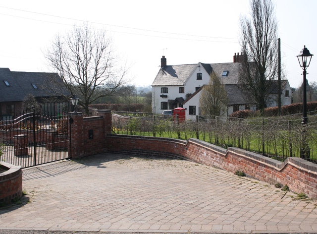
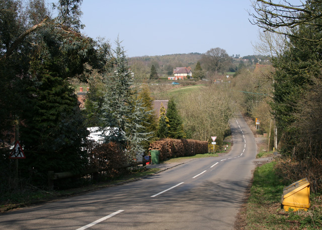
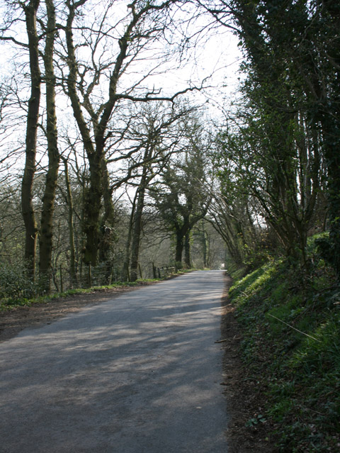
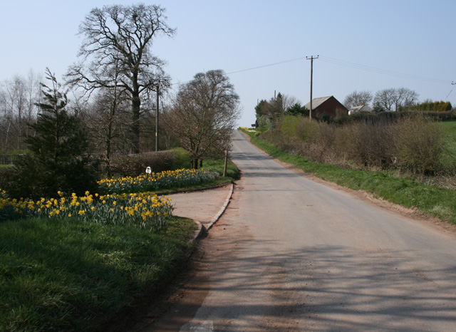
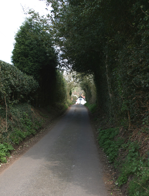
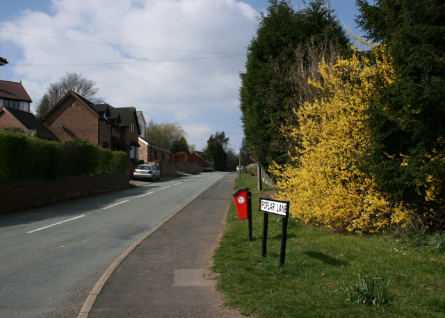
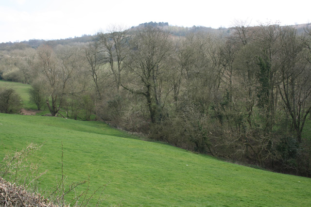
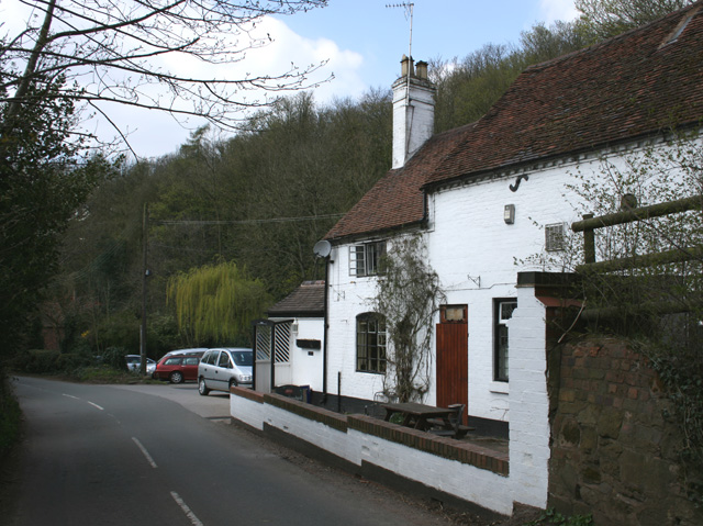
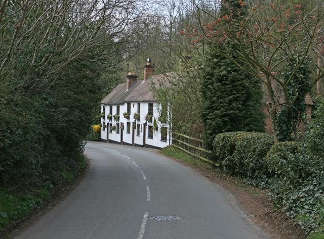
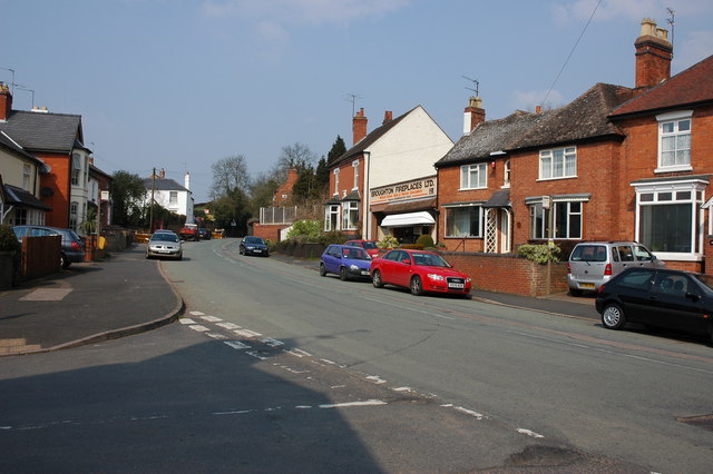
Calcot Hill is a small village located in Worcestershire, England. Situated approximately three miles south-west of the market town of Pershore, it is a picturesque rural settlement surrounded by beautiful countryside. The village is predominantly residential, consisting of a small number of houses, farms, and a local pub.
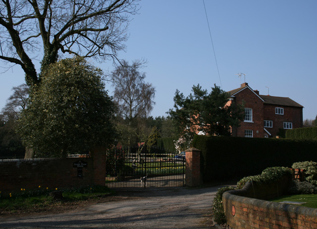
The heart of the village is centered around Calcot Manor, a Grade II listed Georgian country house dating back to the 18th century. The manor is surrounded by well-maintained gardens, providing a tranquil and scenic atmosphere. The estate also includes a farm, which adds to the rural charm of the area.
Calcot Hill benefits from its close proximity to the larger town of Pershore, which offers a wider range of amenities including shops, schools, and leisure facilities. The village itself, however, retains a peaceful and idyllic character, making it an attractive place for those seeking a quieter lifestyle.
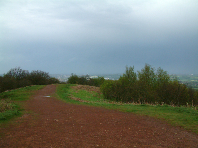
The surrounding countryside offers ample opportunities for outdoor activities such as walking, cycling, and horse riding, with numerous footpaths and bridleways crisscrossing the area. The nearby River Avon provides opportunities for fishing and boating, adding to the recreational options available to residents.
In summary, Calcot Hill is a small and tranquil village in Worcestershire, known for its rural charm, beautiful surroundings, and historic manor. It offers a peaceful lifestyle while still benefiting from its proximity to nearby towns and amenities.
If you have any feedback on the listing, please let us know in the comments section below.
Calcot Hill Images
Images are sourced within 2km of 52.4031/-2.0834 or Grid Reference SO9478. Thanks to Geograph Open Source API. All images are credited.


Calcot Hill is located at Grid Ref: SO9478 (Lat: 52.4031, Lng: -2.0834)
Administrative County: Worcestershire
District: Bromsgrove
Police Authority: West Mercia
What 3 Words
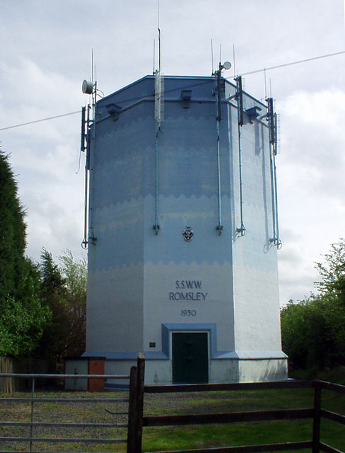
///stress.tens.heats. Near Romsley, Worcestershire
Nearby Locations
Related Wikis

Bromsgrove (UK Parliament constituency)
Bromsgrove is a constituency in Worcestershire represented in the House of Commons of the UK Parliament since 2010 by Sajid Javid of the Conservative Party...

Bell End
Bell End is a village in the English county of Worcestershire. It is situated approximately 2 miles (3 km) south-east of Hagley on the A491, north of Bromsgrove...

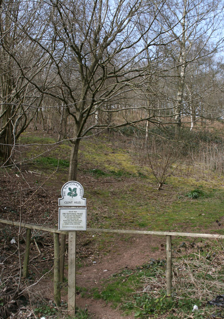
Clent Hills
The Clent Hills lie 10 miles (16 km) south-west of Birmingham city centre in Clent, Worcestershire, England. The closest towns are Stourbridge and Halesowen...

Walton Hill
At 316 metres (1,037 ft) above sea level, Walton Hill is the highest point in the range of hills in northern Worcestershire known as the Clent Hills. It...

Castlebourne folly
The Castlebourne folly in the parish of Belbroughton, Worcestershire, England, was built as a sham castle towards the end of the eighteenth century and...
Holy Cross, Worcestershire
Holy Cross is one of five hamlets in village of Clent in the county of Worcestershire, England. The hamlet consists of housing apart from the Bell and...

Clent Castle
Clent Castle is a sham ruin castellated folly in the grounds of Clent Grove (the site of Sunfield Children's Home) that is situated opposite the Fountain...

Clent
Clent is a village and civil parish in the Bromsgrove District of Worcestershire, England, southwest of Birmingham and close to the edge of the West Midlands...
Nearby Amenities
Located within 500m of 52.4031,-2.0834Have you been to Calcot Hill?
Leave your review of Calcot Hill below (or comments, questions and feedback).