Calcoed

Settlement in Flintshire

Wales

Calcoed

Old Shaft Bryn-Sannan
Old Shaft Bryn-Sannan Credit: Chris Andrews

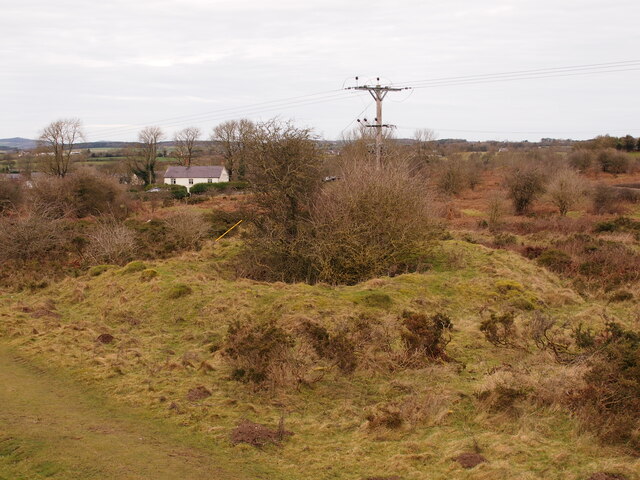
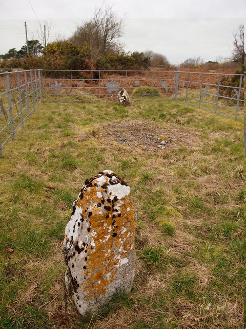
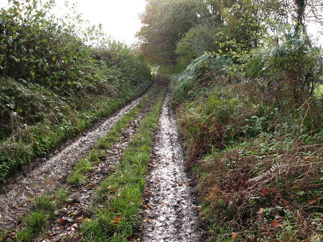
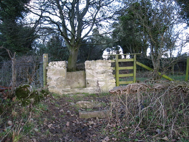
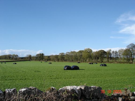
Calcoed is a small village located in Flintshire, Wales. It is situated near the border with England, close to the towns of Mold and Buckley. The village is surrounded by picturesque countryside, with rolling hills and lush green fields.

Calcoed is known for its peaceful and rural setting, making it a popular destination for those looking to escape the hustle and bustle of city life. The village has a close-knit community, with a mix of traditional Welsh cottages and modern homes.

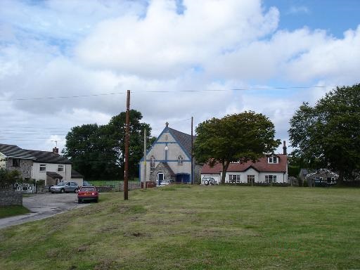
Local amenities in Calcoed include a village hall, a small convenience store, and a pub. The village is also home to a primary school, providing education for local children.

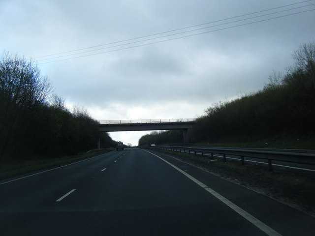
Calcoed is well-connected by road, with easy access to the A55 and A494, making it convenient for residents to travel to nearby towns and cities. The village is also within reach of the stunning coastline of North Wales, offering opportunities for outdoor activities such as hiking, cycling, and water sports.

Overall, Calcoed is a charming village with a strong sense of community and a beautiful natural landscape.

If you have any feedback on the listing, please let us know in the comments section below.

Calcoed Images

Images are sourced within 2km of 53.264116/-3.245124 or Grid Reference SJ1774. Thanks to Geograph Open Source API. All images are credited.

Old Shaft Bryn-Sannan
Naid-y-March Standing Stones Possibly re-positioned Bronze Age stones, a filled mine shaft lies between them.
Naid-y-March Standing Stones
Possibly re-positioned Bronze Age stones, a filled mine shaft lies between them.
Ordnance Survey Cut Mark This OS cut mark can be found on the wall of the chapel on Whitford Street. It marks a point 113.201m above mean sea level.
Ordnance Survey Cut Mark
This OS cut mark can be found on the wall of the chapel on Whitford Street. It marks a point 113.201m above mean sea level.
Ordnance Survey Cut Mark This OS cut mark can be found on the wall of No32 Whitford Street. It marks a point 367.5ft above mean sea level.
Ordnance Survey Cut Mark
This OS cut mark can be found on the wall of No32 Whitford Street. It marks a point 367.5ft above mean sea level.
Ordnance Survey Cut Mark This OS cut mark can be found on the Town Hall, High Street. It marks a point 107.675m above mean sea level.
Ordnance Survey Cut Mark
This OS cut mark can be found on the Town Hall, High Street. It marks a point 107.675m above mean sea level.
Ordnance Survey Cut Mark This OS cut mark can be found on the old bank, High Street. It marks a point 109.746m above mean sea level.
Ordnance Survey Cut Mark
This OS cut mark can be found on the old bank, High Street. It marks a point 109.746m above mean sea level.
Ordnance Survey Cut Mark This OS cut mark can be found on the NW buttress of the school. It marks a point 372.23ft above mean sea level.
Ordnance Survey Cut Mark
This OS cut mark can be found on the NW buttress of the school. It marks a point 372.23ft above mean sea level.
Ordnance Survey Cut Mark This OS cut mark can be found on the old Court House, Halkyn Street. It marks a point 112.872m above mean sea level.
Ordnance Survey Cut Mark
This OS cut mark can be found on the old Court House, Halkyn Street. It marks a point 112.872m above mean sea level.
Ordnance Survey Rivet This OS rivet can be found on the step of No12 Coleshill Street. It marks a point 113.020m above mean sea level.
Ordnance Survey Rivet
This OS rivet can be found on the step of No12 Coleshill Street. It marks a point 113.020m above mean sea level.
Brynford cafe stop Cyclists on a Sunday morning ride prepare to leave the pet cemetery cafe where they'd stopped for morning coffee.
Brynford cafe stop
Cyclists on a Sunday morning ride prepare to leave the pet cemetery cafe where they'd stopped for morning coffee.
A55 near Pantasaph
A55 near Pantasaph
A55 eastbound near Calcoed
Ffordd Holway at Holywell village boundary
Bridleway leading from Calcot Hall Heading for a minor road near Hafod Dedw Farm
Bridleway leading from Calcot Hall
Heading for a minor road near Hafod Dedw Farm
Stone stile On a footpath from a minor lane near Ash Farm.  There are several of these stiles recently built in this traditional style through the boundaries between fields on this route
Stone stile
On a footpath from a minor lane near Ash Farm. There are several of these stiles recently built in this traditional style through the boundaries between fields on this route
Pen-y-Ball Hill, Holywell
Pen-y-Bal Street, Holywell
Territorial Drill Hall, Halkyn Street, Holywell The stone plaque above the main door ensures there is no mistaking that this was built as the Territorial Drill Hall in 1914.  It stands in Halkyn Street, not far from the centre of Holywell, opposite an old school, Ysgol y Fron.
Territorial Drill Hall, Halkyn Street, Holywell
The stone plaque above the main door ensures there is no mistaking that this was built as the Territorial Drill Hall in 1914. It stands in Halkyn Street, not far from the centre of Holywell, opposite an old school, Ysgol y Fron.
Show me another place!

Calcoed is located at Grid Ref: SJ1774 (Lat: 53.264116, Lng: -3.245124)

Unitary Authority: Flintshire

Police Authority: North Wales

Also known as: Calcot

What 3 Words

///lectured.handle.rainbow. Near Holywell, Flintshire

Related Wikis

Holywell Golf Club

Holywell Golf Club (Welsh: Clwb Golff Treffynnon) is a golf club, situated a mile southwest of the town of Holywell, Flintshire, Wales. Instituted in...

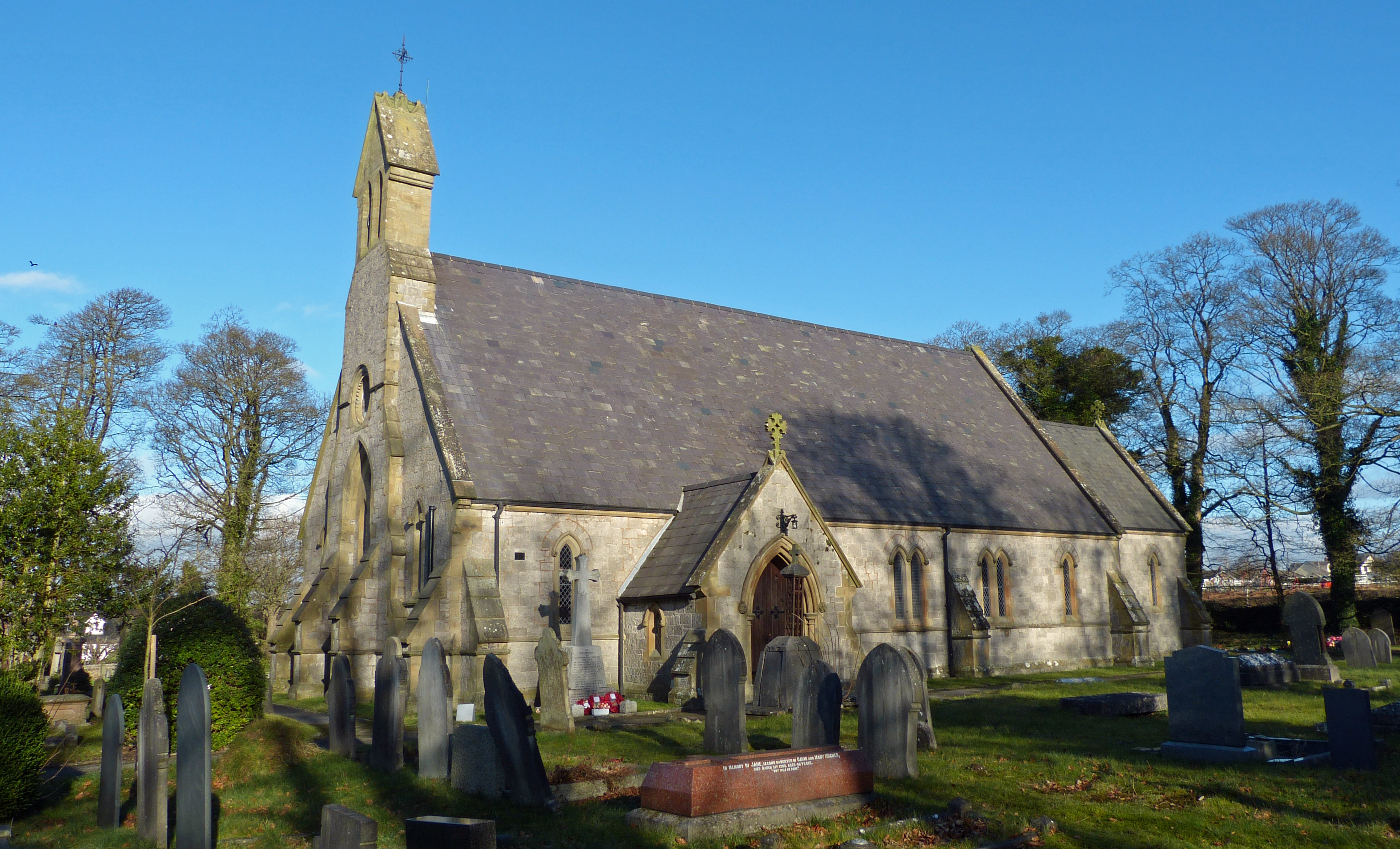
St Michael's Church, Brynford

St Michael's Church, also known as Brynford Parish Church, is a Grade II listed Church in Wales church in Brynford, Flintshire, northeast Wales, to the...

Brynford

Brynford (Welsh: Brynffordd) is a village and community in Flintshire, Wales. It is located to the south west of the town of Holywell and near the A55...

Pantasaph

Pantasaph is a small village in Flintshire, north-east Wales, two miles south of Holywell in the community of Whitford. Its name translates into English...

Nearby Amenities

Located within 500m of 53.264116,-3.245124
Barrier: cattle_grid
Lat/Long: 53.2658346/-3.2456621
Calcoed
Place: village
Wikidata: Q5018849
Lat/Long: 53.2652156/-3.2439547
Power: pole
Lat/Long: 53.2598165/-3.2446681
Power: pole
Lat/Long: 53.2604887/-3.2444897
Power: pole
Lat/Long: 53.2613556/-3.2440973
Power: pole
Lat/Long: 53.2623458/-3.2441089
Power: pole
Lat/Long: 53.262694/-3.2474461
Power: pole
Lat/Long: 53.2643855/-3.2486322
Power: pole
Lat/Long: 53.265415/-3.2494572
Power: pole
Lat/Long: 53.2661674/-3.250066
Power: pole
Lat/Long: 53.2634808/-3.2480266
Power: pole
Lat/Long: 53.2620119/-3.247012
Power: pole
Lat/Long: 53.2648278/-3.2429791
Power: pole
Lat/Long: 53.2633209/-3.2436236
Power: pole
Lat/Long: 53.2611439/-3.2471204
Power: pole
Lat/Long: 53.2599166/-3.2474079
Power: pole
Lat/Long: 53.2668492/-3.2506052
Direction: 165
Generator Method: photovoltaic
Generator Output Electricity: yes
Generator Solar Modules: 16
Generator Source: solar
Generator Type: solar_photovoltaic_panel
Location: roof
Power: generator
Lat/Long: 53.2646613/-3.244702
Direction: SE
Generator Method: photovoltaic
Generator Output Electricity: yes
Generator Solar Modules: 16
Generator Source: solar
Generator Type: solar_photovoltaic_panel
Location: roof
Power: generator
Lat/Long: 53.2655717/-3.2464851
Direction: 235
Generator Method: photovoltaic
Generator Output Electricity: yes
Generator Solar Modules: 16
Generator Source: solar
Generator Type: solar_photovoltaic_panel
Location: roof
Power: generator
Lat/Long: 53.2658444/-3.2460894
Direction: 80
Generator Method: photovoltaic
Generator Output Electricity: yes
Generator Solar Modules: 21
Generator Source: solar
Generator Type: solar_photovoltaic_panel
Location: roof
Power: generator
Lat/Long: 53.2640974/-3.2391324
Power: pole
Lat/Long: 53.2602817/-3.2473214
Man Made: mineshaft
Lat/Long: 53.267297/-3.2427536
Man Made: mineshaft
Lat/Long: 53.2673602/-3.2433158
Man Made: mineshaft
Lat/Long: 53.2671775/-3.2430329
Crossing
Lat/Long: 53.2657305/-3.2412199
The data included in this document is from www.openstreetmap.org. The data is made available under ODbL.

Have you been to Calcoed?

Leave your review of Calcoed below (or comments, questions and feedback).