Brickyard Wood

Wood, Forest in Monmouthshire

Wales

Brickyard Wood

Stubble field towards Great Hardwick
Stubble field towards Great Hardwick Credit: JThomas

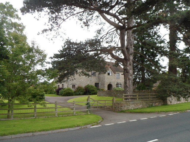
Brickyard Wood, located in Monmouthshire, is a picturesque forest situated in the southeastern part of Wales. Covering an area of approximately 100 hectares, this wood is a popular destination for nature lovers, hikers, and wildlife enthusiasts.

The wood is characterized by its diverse range of tree species, including oak, beech, birch, and hazel. The dense canopy of the forest provides a tranquil and serene atmosphere, making it an ideal place for relaxation and exploration. The forest floor is adorned with a vibrant carpet of bluebells and other wildflowers during the springtime, creating a breathtaking sight.

Brickyard Wood is also home to a variety of wildlife, making it a haven for nature enthusiasts. Visitors may catch glimpses of deer, badgers, foxes, and an array of bird species, including woodpeckers and owls. The wood's diverse ecosystem also supports a rich insect population, including butterflies and dragonflies.

The forest offers several well-marked trails of varying difficulty, allowing visitors to explore its beauty at their leisure. These trails take visitors through ancient woodland, alongside babbling brooks, and up to scenic viewpoints offering panoramic vistas of the surrounding countryside.

Brickyard Wood is a cherished part of Monmouthshire's natural heritage, offering a peaceful retreat for visitors seeking solace in nature. Whether it's a leisurely stroll, a birdwatching expedition, or simply a desire to connect with the great outdoors, this wood provides a captivating experience for all who venture into its embrace.

If you have any feedback on the listing, please let us know in the comments section below.

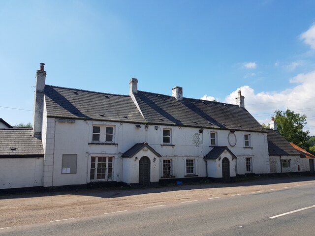
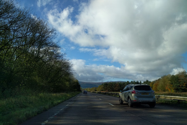
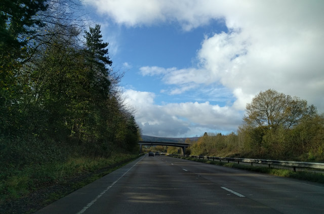
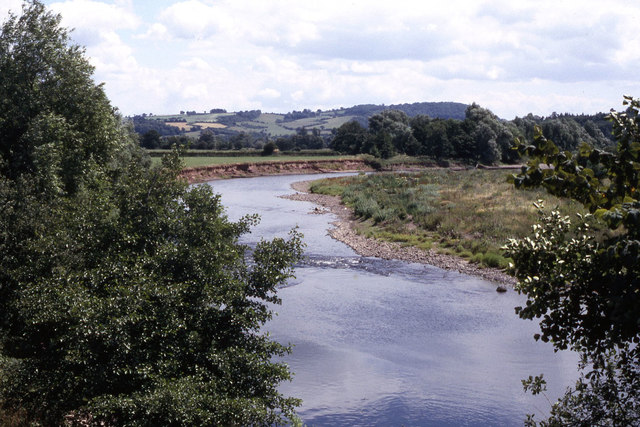
Brickyard Wood Images

Images are sourced within 2km of 51.787434/-2.9762132 or Grid Reference SO3210. Thanks to Geograph Open Source API. All images are credited.

Stubble field towards Great Hardwick
The A40 south of Abergavenny We all know how useful these bushes can be.
The A40 south of Abergavenny
We all know how useful these bushes can be.
The A40 south of Abergavenny
Access bridge over A40 at Penpergwn
The King of Prussia, Penpergwm The King of Prussia Public House lies on the southern side of the B4598 in the village of Penpergwm. 
It is shown on the 1881 edition of the Ordnance Survey map.
Like many rural pubs it has suffered from loss of trade and has been closed for years.
It sits in front of a plant hire company who have sought permission to demolish it.
The local council are questioning some details, but it seems its fate is sealed.
The King of Prussia, Penpergwm
The King of Prussia Public House lies on the southern side of the B4598 in the village of Penpergwm. It is shown on the 1881 edition of the Ordnance Survey map. Like many rural pubs it has suffered from loss of trade and has been closed for years. It sits in front of a plant hire company who have sought permission to demolish it. The local council are questioning some details, but it seems its fate is sealed.
Footpath through the woodland On the Llanover Estate
Footpath through the woodland
On the Llanover Estate
A large oak tree On the Llanover Estate
A large oak tree
On the Llanover Estate
Hen Bersondy On the Llanover Estate
Hen Bersondy
On the Llanover Estate
St Bartholomew's Church, Llanover Grade II* listed. The nave, could in origin, be Norman, as it has a south door with the possibility of a north door opposite, now included in the Perpendicular window which is placed rather oddly in the north wall. The nave seems likely to be older than the chancel which appears in origin to be early C14. The tower is probably early C16. The porch is an addition of 1750 (dated). The church had a minor Victorian restoration of unknown date and little has been changed since. The village school was held in the tower until 1835.
St Bartholomew's Church, Llanover
Grade II* listed. The nave, could in origin, be Norman, as it has a south door with the possibility of a north door opposite, now included in the Perpendicular window which is placed rather oddly in the north wall. The nave seems likely to be older than the chancel which appears in origin to be early C14. The tower is probably early C16. The porch is an addition of 1750 (dated). The church had a minor Victorian restoration of unknown date and little has been changed since. The village school was held in the tower until 1835.
Old Mill House On the Llanover Estate
Old Mill House
On the Llanover Estate
Llansabbath County House On the Llanover Estate
Llansabbath County House
On the Llanover Estate
Heading west on the A40
On the A40, heading west towards Abergavenny
Railway bridge at The Bryn The bridge carries the Hereford - Newport line across the River Usk at The Bryn near Abergavenny.
Railway bridge at The Bryn
The bridge carries the Hereford - Newport line across the River Usk at The Bryn near Abergavenny.
No Road Markings And indeed, no road. I don't know what this sign was doing here, but it's a fair way from the nearest road! I stood ankle deep in water to get this, as I recall.
No Road Markings
And indeed, no road. I don't know what this sign was doing here, but it's a fair way from the nearest road! I stood ankle deep in water to get this, as I recall.
River Usk The River Usk at The Bryn, near Abergavenny. Taken looking towards Brecon.
River Usk
The River Usk at The Bryn, near Abergavenny. Taken looking towards Brecon.
The River Usk near The Bryn
Houses south of Llanover church The house on the left, Maes yr Afon, was Llanover parish school, 1835 - 1925, principally for children of estate workers on Llanover Estate. The house on the right, Tyr Ysgol, was the schoolhouse.
Houses south of Llanover church
The house on the left, Maes yr Afon, was Llanover parish school, 1835 - 1925, principally for children of estate workers on Llanover Estate. The house on the right, Tyr Ysgol, was the schoolhouse.
Show me another place!

Brickyard Wood is located at Grid Ref: SO3210 (Lat: 51.787434, Lng: -2.9762132)

Unitary Authority: Monmouthshire

Police Authority: Gwent

What 3 Words

///column.weedy.builds. Near Abergavenny, Monmouthshire

Nearby Locations

Brickyard Wood Penpergwm

Related Wikis

Penpergwm

Penpergwm is a village in south Wales, situated along the A40 road, 3.9 miles (6.3 km) south-east of Abergavenny and 14 miles (23 km) west of Monmouth...

Penpergwm railway station

Penpergwm railway station was a former station which served the Monmouthshire, Wales, village of Penpergwm, although the community adjacent to the station...

Llangattock Court

Llangattock Court, Penpergwm, Monmouthshire, Wales, is a country house of late-medieval origins. Cadw gives a date for original building of 1490-1520....

The Bryn

The Bryn, or Llangattock Nigh Usk (Welsh: Llangatwg Dyffryn Wysg), is a small village on the left bank of the River Usk in Monmouthshire, southeast Wales...

Nearby Amenities

Located within 500m of 51.787434,-2.9762132
Penpergwm
Historic Railway: station
Railway: site
Wikidata: Q38250686
Wikipedia: en:Penpergwm railway station
Lat/Long: 51.7847303/-2.9793565
Direction: 190
Generator Method: photovoltaic
Generator Output Electricity: yes
Generator Solar Modules: 8
Generator Source: solar
Generator Type: solar_photovoltaic_panel
Location: roof
Power: generator
Lat/Long: 51.7838815/-2.9721719
Direction: 190
Generator Method: photovoltaic
Generator Output Electricity: yes
Generator Solar Modules: 8
Generator Source: solar
Generator Type: solar_photovoltaic_panel
Location: roof
Power: generator
Lat/Long: 51.7838748/-2.9720968
Direction: 190
Generator Method: photovoltaic
Generator Output Electricity: yes
Generator Solar Modules: 8
Generator Source: solar
Generator Type: solar_photovoltaic_panel
Location: roof
Power: generator
Lat/Long: 51.7838624/-2.972011
Direction: 145
Generator Method: photovoltaic
Generator Output Electricity: yes
Generator Solar Modules: 8
Generator Source: solar
Generator Type: solar_photovoltaic_panel
Location: roof
Power: generator
Lat/Long: 51.7838425/-2.9718728
Direction: 305
Generator Method: photovoltaic
Generator Output Electricity: yes
Generator Solar Modules: 8
Generator Source: solar
Generator Type: solar_photovoltaic_panel
Location: roof
Power: generator
Lat/Long: 51.7882336/-2.9797263
Direction: 125
Generator Method: photovoltaic
Generator Output Electricity: yes
Generator Solar Modules: 8
Generator Source: solar
Generator Type: solar_photovoltaic_panel
Location: roof
Power: generator
Lat/Long: 51.7882153/-2.9796834
Penpergwm Level Crossing
Railway: level_crossing
Lat/Long: 51.7845942/-2.9790562
Penpergwm Level Crossing
Railway: level_crossing
Lat/Long: 51.7846139/-2.9790074
Bus Stop
Bus: yes
Naptan AtcoCode: 5330AWB32484
Naptan NaptanCode: gwejptj
Public Transport: platform
Lat/Long: 51.7860419/-2.9722966
The data included in this document is from www.openstreetmap.org. The data is made available under ODbL.

Have you been to Brickyard Wood?

Leave your review of Brickyard Wood below (or comments, questions and feedback).