Coed Pen-groes-oped
Wood, Forest in Monmouthshire
Wales
Coed Pen-groes-oped

Coed Pen-groes-oped is a picturesque woodland located in Monmouthshire, Wales. Situated near the village of Trellech, this enchanting forest covers an area of approximately 100 acres. The name "Coed Pen-groes-oped" translates to "Wood at the headland of the open countryside," reflecting its idyllic setting.
This woodland is characterized by its diverse range of tree species, including oak, birch, ash, and beech. The forest floor is adorned with a rich carpet of bluebells, foxgloves, and ferns, creating a vibrant and serene atmosphere. The woodland is home to a variety of wildlife, such as badgers, foxes, squirrels, and a wide array of bird species, making it a haven for nature enthusiasts and birdwatchers.
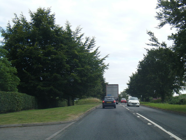
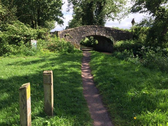
Visitors to Coed Pen-groes-oped can explore numerous walking trails that wind through the forest, providing opportunities for peaceful strolls and engaging with the natural surroundings. The paths lead to viewpoints that offer panoramic vistas of the surrounding countryside, showcasing the beauty of the area. Additionally, there are picnic areas where visitors can relax and enjoy a meal amidst the tranquil ambiance of the woodland.
Coed Pen-groes-oped is not only a place of natural beauty but also holds historical significance. The forest is dotted with remnants of ancient settlements, including the remains of Iron Age hillforts and Roman roads. These archaeological features add an element of intrigue to the woodland, allowing visitors to delve into its fascinating past.
Overall, Coed Pen-groes-oped is a stunning woodland retreat that captivates visitors with its natural beauty, wildlife, and historical charm. It serves as a sanctuary for both nature lovers and history enthusiasts, offering a serene escape from the bustle of everyday life.
If you have any feedback on the listing, please let us know in the comments section below.
Coed Pen-groes-oped Images
Images are sourced within 2km of 51.757269/-3.0017574 or Grid Reference SO3006. Thanks to Geograph Open Source API. All images are credited.


Coed Pen-groes-oped is located at Grid Ref: SO3006 (Lat: 51.757269, Lng: -3.0017574)
Unitary Authority: Monmouthshire
Police Authority: Gwent
What 3 Words
///digesting.apparatus.confetti. Near Blaenavon, Torfaen
Nearby Locations
Related Wikis
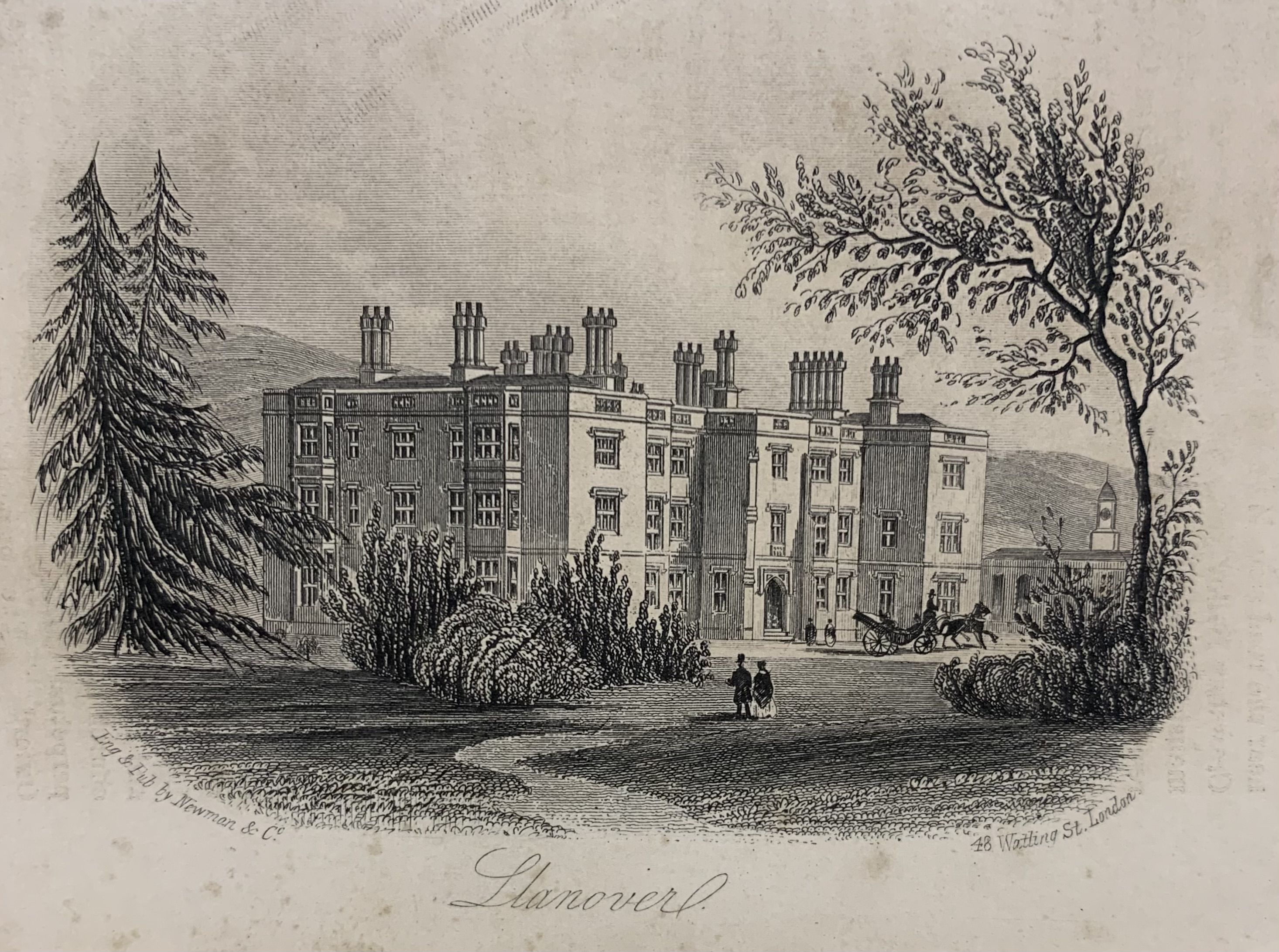
Llanover House
Llanover House, Llanover, Monmouthshire, Wales, was a country house dating from the mid-19th century. Commissioned by Augusta Waddington, and her husband...

Llanover
Llanover (; Welsh: Llanofer) Welsh pronunciation: [ɬaˈnɔvɛr] is a village in the community of Goetre Fawr in Monmouthshire, Wales. == Name == The name...

Ty-Cooke Farmhouse, Mamhilad
Ty-Cooke Farmhouse, Mamhilad, Monmouthshire is a large farmhouse dating from 1710. The farmhouse forms a group with an earlier farmhouse, dating from circa...

Llanvair railway station
Llanvair railway station served the village of Llanvair Discoed, in the historical county of Monmouthshire, Wales, in 1854 on the Newport, Abergavenny...

Goytre (Monmouthshire)
Goytre (; Welsh: Goetre) is a village in the community of Goetre Fawr in Monmouthshire, south east Wales, United Kingdom. The population of the whole of...
Llanfair Grange
Llanfair Grange, Nant-y-derry, Monmouthshire is a country house dating from the 18th century. It was extensively remodelled in the early 19th century in...

Nantyderry railway station
Nantyderry railway station was a former station which served the Monmouthshire village of Nant-y-derry. It was located on the Welsh Marches Line between...
Nant-y-derry
Nant-y-derry (Welsh: Nant-y-deri) is a village in the county of Monmouthshire, Wales, located six miles south east of Abergavenny and four miles northwest...
Nearby Amenities
Located within 500m of 51.757269,-3.0017574Have you been to Coed Pen-groes-oped?
Leave your review of Coed Pen-groes-oped below (or comments, questions and feedback).