Grooms Dale
Wood, Forest in Flintshire
Wales
Grooms Dale

Grooms Dale is a small village situated in the county of Flintshire, Wales. Nestled within the beautiful surroundings of woodlands and forests, it offers residents and visitors a peaceful retreat from the hustle and bustle of city life. The village is located about 6 miles east of Mold, the nearest town.
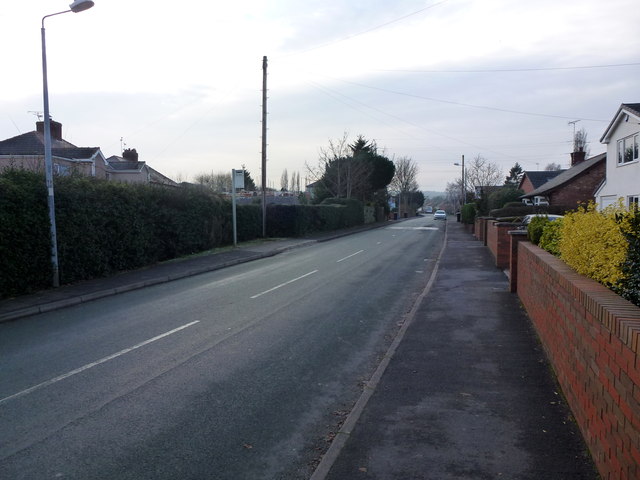
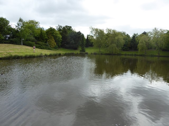
The landscape of Grooms Dale is characterized by its lush greenery and natural beauty. The village is surrounded by dense woodlands, providing a habitat for various species of wildlife and offering opportunities for nature enthusiasts to explore and appreciate the local flora and fauna. The nearby forests also serve as a recreational area for outdoor activities such as hiking, cycling, and picnicking.
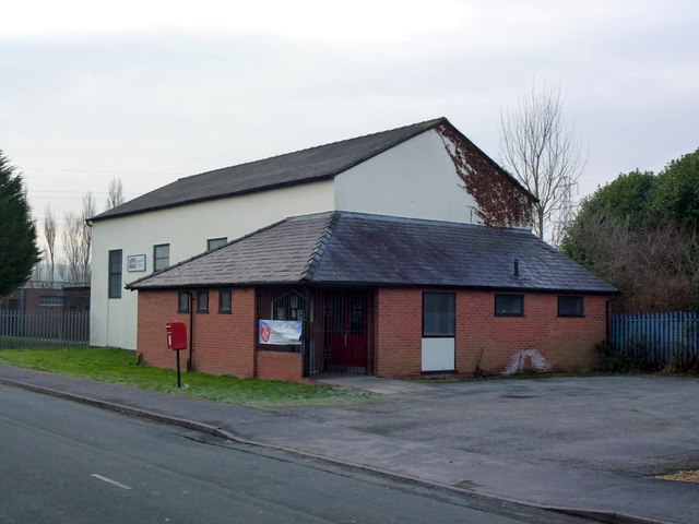
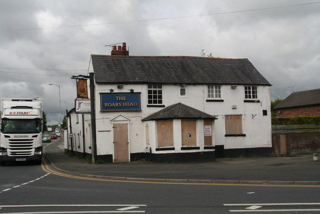
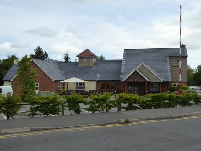
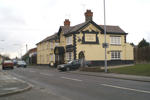
In terms of amenities, Grooms Dale has a small but close-knit community. The village has a local pub, which serves as a meeting point for residents and visitors alike. There is also a village hall that hosts various community events and gatherings throughout the year.
For those seeking a more urban experience, the town of Mold is just a short drive away. Mold offers a wider range of amenities including supermarkets, shops, restaurants, and leisure facilities.
Overall, Grooms Dale in Flintshire is a picturesque village surrounded by woodlands and forests, providing a tranquil setting for residents and visitors to enjoy the natural beauty of the area. With its close proximity to Mold, it strikes a perfect balance between rural charm and access to urban amenities.
If you have any feedback on the listing, please let us know in the comments section below.
Grooms Dale Images
Images are sourced within 2km of 53.183579/-3.0349711 or Grid Reference SJ3065. Thanks to Geograph Open Source API. All images are credited.


Grooms Dale is located at Grid Ref: SJ3065 (Lat: 53.183579, Lng: -3.0349711)
Unitary Authority: Flintshire
Police Authority: North Wales
What 3 Words
///tacky.priced.royal. Near Hawarden, Flintshire
Nearby Locations
Related Wikis

Hawarden railway station
Hawarden railway station (Welsh: Penarlâg) serves the village of Hawarden in Flintshire, Wales. It is situated on the Borderlands Line 10½ miles (17 km...
Hawarden Rangers F.C.
Hawarden Rangers F.C. is a Welsh football club playing in Hawarden, Flintshire, after being founded in 1974 by Elwyn Owen. They currently play in the...

Gladstone's Library
Gladstone's Library, known until 2010 as St Deiniol's Library (Welsh: Llyfrgell Deiniol Sant), is a residential library in Hawarden, Flintshire, Wales...
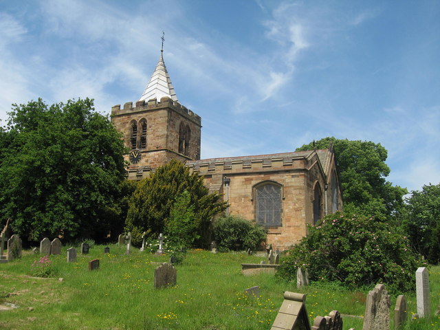
St Deiniol's Church, Hawarden
St Deiniol's Church, Hawarden, is in the village of Hawarden, Flintshire, Wales. It is the parish church of the rectorial benefice of Hawarden in the deanery...
Ewloe
Ewloe (; Welsh: Ewlo, [ˈɛʊlɔ] ) is a village and electoral ward in the community of Hawarden in Flintshire, Wales. It is situated close to the Flintshire/Cheshire...
Hawarden
Hawarden ( ; Welsh: Penarlâg) is a village and community in Flintshire, Wales. It is part of the Deeside conurbation on the Wales-England border and is...

Hawarden Castle (medieval)
Hawarden Old Castle (Welsh: Castell Penarlâg) is a Grade I listed medieval castle near Hawarden, Flintshire, Wales. The castle's origins are indeterminate...
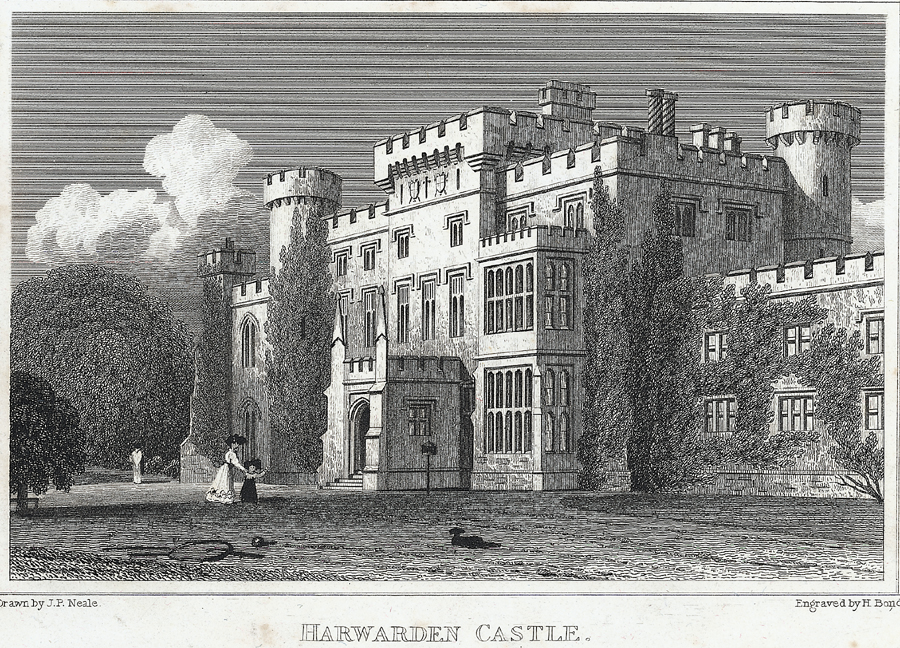
Hawarden Castle (18th century)
(New) Hawarden Castle (Welsh: Castell Penarlâg (Newydd)) is a house in Hawarden, Flintshire, Wales. It was the estate of the former British prime minister...
Nearby Amenities
Located within 500m of 53.183579,-3.0349711Have you been to Grooms Dale?
Leave your review of Grooms Dale below (or comments, questions and feedback).