Cairnorrie

Settlement in Aberdeenshire

Scotland

Cairnorrie

Woodland at Monteach
Woodland at Monteach Credit: David Purchase

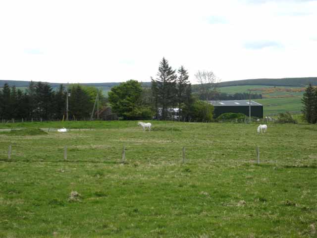
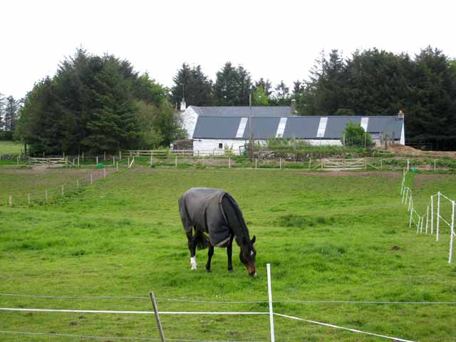
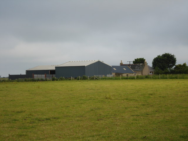
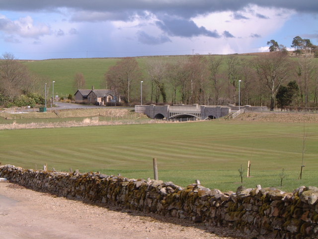
Cairnorrie is a small village located in the county of Aberdeenshire, Scotland. Situated in the northeast region of the country, it lies approximately 20 miles west of Aberdeen. The village is nestled amidst picturesque rural surroundings, surrounded by rolling hills and farmland, offering residents and visitors a tranquil and idyllic setting.

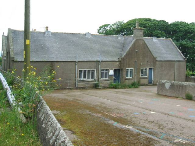
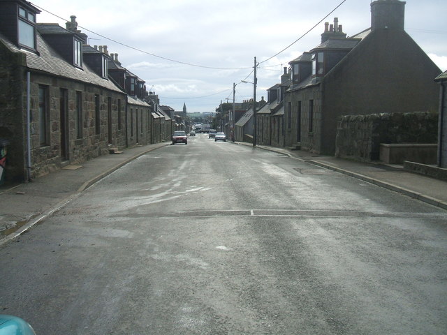
Known for its rich history, Cairnorrie dates back centuries and has retained much of its traditional charm. The village is characterized by its quaint stone houses, some of which are centuries old, and its traditional architecture. The village center features a small square with a few local shops and amenities, including a post office and a village hall.

Cairnorrie is also renowned for its strong community spirit, with various local events and activities organized throughout the year. The village boasts a close-knit population that takes pride in preserving its cultural heritage and maintaining a sense of community.

Outdoor enthusiasts will find plenty to explore in the surrounding area. Cairnorrie is situated within close proximity to the Cairngorms National Park, offering opportunities for hiking, cycling, and wildlife spotting. Additionally, the beautiful Aberdeenshire coastline is easily accessible, providing stunning views and opportunities for coastal walks.

Overall, Cairnorrie is a charming village that offers a peaceful and picturesque retreat from the hustle and bustle of modern life. Its rich history, strong community values, and proximity to natural beauty make it an attractive destination for both residents and visitors alike.

If you have any feedback on the listing, please let us know in the comments section below.
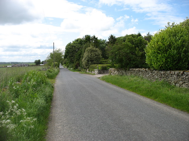
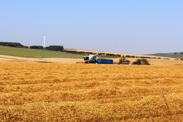
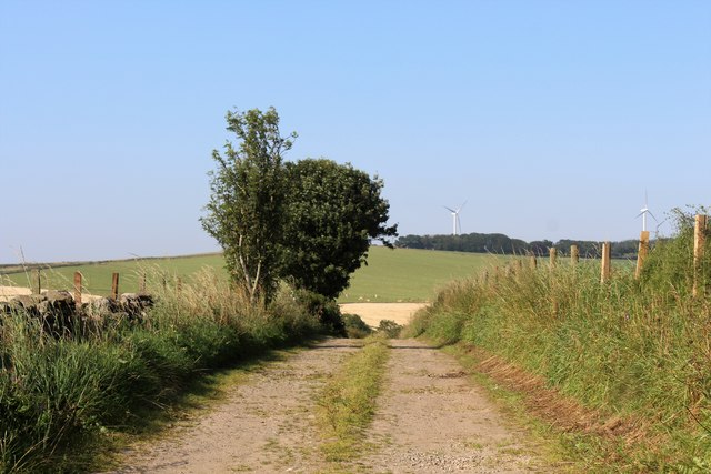
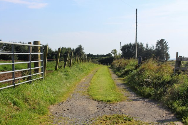
Cairnorrie Images

Images are sourced within 2km of 57.45973/-2.229057 or Grid Reference NJ8641. Thanks to Geograph Open Source API. All images are credited.

Woodland at Monteach
Monteach Road
Monteach Road
Harvest by North Ardo Farming activity by North Ardo.
Harvest by North Ardo
Farming activity by North Ardo.
Fordmouth Road The access to Fordmouth which lies over the hill in the next square north. The pylons and woodland in the distance are on the Hill of Balquhindachy.
Fordmouth Road
The access to Fordmouth which lies over the hill in the next square north. The pylons and woodland in the distance are on the Hill of Balquhindachy.
Fore Den The woodland of Fore Den and the access to Meikle Ardo Croft.
Fore Den
The woodland of Fore Den and the access to Meikle Ardo Croft.
Merdrum Road The short road downhill to Merdrum.
Merdrum Road
The short road downhill to Merdrum.
Beechlea Farm Beechlea seen across a field of ripening barley.
Beechlea Farm
Beechlea seen across a field of ripening barley.
Cattle, Dens
Cattle, Dens
Barley and Hill of Balquhindachy
Hay, Brownhill
Hay, Brownhill
View towards Benachie
Hillhead of Ardo
Hillhead of Ardo
Phone mast at Hillhead of Ardo Not marked of the OS map yet.....
Phone mast at Hillhead of Ardo
Not marked of the OS map yet.....
Parkside Crofts Farm buildings seen from the B9170 Methlick to New Deer road. The hill in the distance is Hill of Skelmonae <a href="https://www.geograph.org.uk/gridref/NJ8839">NJ8839</a>.
Parkside Crofts
Farm buildings seen from the B9170 Methlick to New Deer road. The hill in the distance is Hill of Skelmonae NJ8839.
Horse and farm, Street of Monteach This farm which stands back from the eastern end of Street of Monteach, surrounded by a thick shelter-belt of trees. The farm is obviously dedicated to the stabling and pasturage of horses, big business in this part of Aberdeenshire.
Horse and farm, Street of Monteach
This farm which stands back from the eastern end of Street of Monteach, surrounded by a thick shelter-belt of trees. The farm is obviously dedicated to the stabling and pasturage of horses, big business in this part of Aberdeenshire.
Monlettie Croft Monlettie Croft
Monlettie Croft
Monlettie Croft
North Arnybogs Small farm at North Arnybogs
North Arnybogs
Small farm at North Arnybogs
Access track to Burnside
Show me another place!

Cairnorrie is located at Grid Ref: NJ8641 (Lat: 57.45973, Lng: -2.229057)

Unitary Authority: Aberdeenshire

Police Authority: North East

What 3 Words

///flickers.repeats.destiny. Near Pitmedden, Aberdeenshire

Nearby Locations

Cairnorrie

Related Wikis

Cairnorrie

Cairnorrie is a rural settlement in the Formartine area of Aberdeenshire, Scotland, situated on the B9170 road between Methlick and New Deer. The primary...

Gight

Gight is the name of an estate in the parish of Fyvie in the Formartine area of Aberdeenshire, Scotland, United Kingdom. It is best known as the location...

Methlick

Methlick (Gaelic: Maothulach) is a village in the Formartine area of Aberdeenshire, Scotland, situated on the River Ythan 11.2 kilometres (7.0 mi) north...

House of Schivas

House of Schivas is an L-plan tower house, dating from the 16th century, about three miles east of Methlick, in the valley of the River Ythan, in Aberdeenshire...

New Deer

New Deer (Scottish Gaelic: Achadh Reite) is a settlement in Aberdeenshire, North East Scotland, which lies in the valley of Deer. It is located at the...

Haddo House

Haddo House is a Scottish stately home located near Tarves in Aberdeenshire, approximately 20 miles (32 km) north of Aberdeen (grid reference NJ868347...

Auchnagatt railway station

Auchnagatt railway station was a railway station in Auchnagatt, Aberdeenshire. Before its closure, services ran to Fraserburgh, Peterhead and Aberdeen...

Auchnagatt

Auchnagatt (Scottish Gaelic: Achadh nan Cat) is a village and rural area in Buchan, Aberdeenshire, Scotland, situated on the Ebrie Burn and on the A948...

Nearby Amenities

Located within 500m of 57.45973,-2.229057
Cairnorrie
Place: hamlet
Lat/Long: 57.4585142/-2.230849
Power: pole
Lat/Long: 57.459965/-2.2372443
Power: pole
Lat/Long: 57.4592255/-2.2365999
Power: pole
Lat/Long: 57.458497/-2.2365138
Power: pole
Lat/Long: 57.4577905/-2.236444
Power: pole
Lat/Long: 57.4636132/-2.2290397
Power: pole
Lat/Long: 57.463016/-2.2282964
Power: pole
Lat/Long: 57.4624826/-2.2276329
Power: pole
Lat/Long: 57.4619785/-2.2270287
Power: pole
Lat/Long: 57.4614205/-2.2263698
Power: pole
Lat/Long: 57.4610244/-2.2259046
Power: pole
Lat/Long: 57.4607031/-2.2257017
Power: pole
Lat/Long: 57.460058/-2.2253072
Power: pole
Lat/Long: 57.4593835/-2.2249402
Power: pole
Lat/Long: 57.4588708/-2.2246574
Power: pole
Lat/Long: 57.4614156/-2.2254281
Power: pole
Lat/Long: 57.4615542/-2.224491
Power: pole
Lat/Long: 57.4617026/-2.2234969
Power: pole
Lat/Long: 57.4607755/-2.2290853
Power: pole
Lat/Long: 57.460448/-2.2284355
Power: pole
Lat/Long: 57.4601242/-2.2278199
Power: pole
Lat/Long: 57.460486/-2.226689
Power: pole
Lat/Long: 57.4557511/-2.2315433
Bus Stop
Gight Junction
Bus: yes
Naptan AtcoCode: 630030761
Naptan Bearing: NE
Naptan CommonName: Gight Junction
Naptan Indicator: N bound
Naptan NaptanCode: 23625936
Naptan Street: B9170
Naptan Verified: no
Public Transport: platform
Source: naptan;bing;naptan_compare_tool
Lat/Long: 57.4595858/-2.2294615
Generator Method: wind_turbine
Generator Output Electricity: yes
Generator Source: wind
Generator Type: horizontal_axis
Power: generator
Lat/Long: 57.4580889/-2.2353246
Generator Method: wind_turbine
Generator Output Electricity: yes
Generator Source: wind
Generator Type: horizontal_axis
Power: generator
Lat/Long: 57.4578014/-2.2347264
Generator Method: wind_turbine
Generator Output Electricity: yes
Generator Source: wind
Generator Type: horizontal_axis
Power: generator
Lat/Long: 57.4575025/-2.2340611
The data included in this document is from www.openstreetmap.org. The data is made available under ODbL.

Have you been to Cairnorrie?

Leave your review of Cairnorrie below (or comments, questions and feedback).