Coed Cwm-iou
Wood, Forest in Monmouthshire
Wales
Coed Cwm-iou

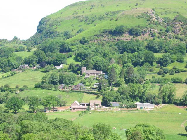
Coed Cwm-iou is a picturesque woodland located in the county of Monmouthshire, Wales. Situated near the village of Wood, the forest spans an area of approximately 100 acres and is known for its natural beauty and diverse ecosystem.
The woodland is characterized by its dense canopy of mixed broadleaf trees, including oak, beech, and birch, which create a vibrant and colorful landscape throughout the year. The forest floor is covered in a rich carpet of mosses, ferns, and wildflowers, providing a habitat for a variety of plant species.
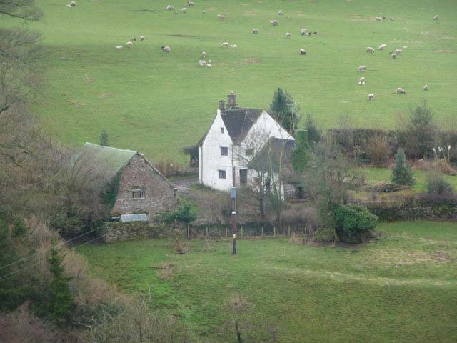
Coed Cwm-iou is home to a wide range of wildlife, making it a popular destination for nature enthusiasts and birdwatchers. Visitors may spot native birds such as buzzards, owls, and woodpeckers, as well as mammals like foxes, badgers, and deer. The forest also boasts a diverse insect population, including butterflies, dragonflies, and beetles.
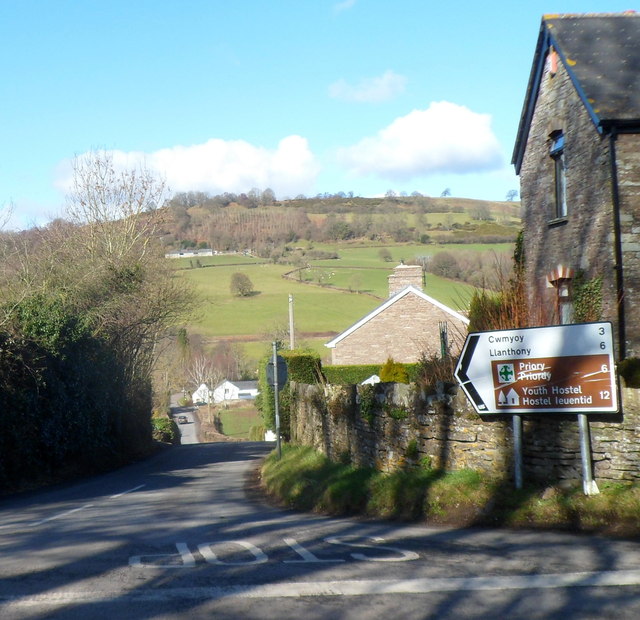
The woodland offers a network of well-maintained walking trails, allowing visitors to explore its natural wonders at their own pace. These trails wind through the forest, offering stunning views of the surrounding countryside and glimpses of the nearby Wye Valley.
Coed Cwm-iou is a place of tranquility and serenity, providing a peaceful escape from the hustle and bustle of everyday life. Whether it's a leisurely stroll, a picnic amidst nature, or simply enjoying the sights and sounds of the forest, this woodland offers a truly immersive and enriching experience for all who visit.
If you have any feedback on the listing, please let us know in the comments section below.
Coed Cwm-iou Images
Images are sourced within 2km of 51.895313/-3.0163062 or Grid Reference SO3022. Thanks to Geograph Open Source API. All images are credited.


Coed Cwm-iou is located at Grid Ref: SO3022 (Lat: 51.895313, Lng: -3.0163062)
Unitary Authority: Monmouthshire
Police Authority: Gwent
What 3 Words
///nooks.initiated.plotted. Near Llancillo, Herefordshire
Nearby Locations
Related Wikis
Cwmyoy
Cwmyoy is an extensive rural parish in Monmouthshire, Wales (Welsh: Cwm Iou, for the valley and parish; Welsh: Cwm-iou, for the village). The standard...

Gaer (Black Mountains)
Gaer is the name of a hill in the Black Mountains of the Brecon Beacons National Park in Monmouthshire, south Wales. It lies at the southern end of the...

Llwyn-celyn Farmhouse, Llanvihangel Crucorney
Llwyn-celyn Farmhouse, Llanvihangel Crucorney, Monmouthshire is a farmhouse of late medieval origins. It is a Grade I listed building. == History == The...

St Martin's Church, Cwmyoy
The Church of St Martin, Cwmyoy, Monmouthshire, Wales, was begun in the 12th century, although most of the current structure dates from the 13th century...

Coed-y-Cerrig National Nature Reserve
Coed-y-Cerrig National Nature Reserve is located at the bottom of a deep valley in the Black Mountains, about 3.7 miles (6.0 km) north of Abergavenny and...
Little Llwygy Farmhouse, Cwmyoy
Little Llwygy Farmhouse, Cwmyoy, Monmouthshire, Wales, is a farmhouse of two building dates, the earlier of the 15th century, the latter of the 17th. The...

Ty-Hwnt-y-Bwlch Farmhouse, Cwmyoy
Ty-Hwnt-y-Bwlch Farmhouse, (Welsh: translation - The house near the pass), Cwmyoy, Monmouthshire is a farmhouse in the north of the county dating from...
Crucorney
Crucorney Welsh: Crucornau is a community in the county of Monmouthshire, Wales. It is the northernmost community in the county and covers the villages...
Nearby Amenities
Located within 500m of 51.895313,-3.0163062Have you been to Coed Cwm-iou?
Leave your review of Coed Cwm-iou below (or comments, questions and feedback).