Coed Peggy-Shams
Wood, Forest in Monmouthshire
Wales
Coed Peggy-Shams

Coed Peggy-Shams is a picturesque woodland located in Monmouthshire, Wales. Spanning over a vast area, it is a cherished natural gem of the region. The woodland is characterized by its dense, ancient trees that create a serene and enchanting atmosphere.
Situated in the heart of Monmouthshire, Coed Peggy-Shams offers a variety of walking trails, making it a popular destination for nature enthusiasts and hikers. The trails wind through the peaceful forest, allowing visitors to immerse themselves in the tranquil surroundings while enjoying the beauty of nature.
The woodland is home to a rich diversity of flora and fauna. Towering oak and beech trees dominate the landscape, creating a dense canopy that provides shelter for numerous species of birds, mammals, and insects. Bluebells, wild garlic, and ferns carpet the forest floor, adding a touch of natural beauty.
Coed Peggy-Shams is not only a haven for wildlife but also for those seeking a serene escape from the hustle and bustle of everyday life. The peaceful ambiance and stunning scenery make it an ideal spot for relaxation and meditation. Visitors can unwind and reconnect with nature, taking in the fresh air and soothing sounds of the forest.
The woodland is well-maintained, with clearly marked trails and informative signage. Facilities such as picnic areas and benches are available, providing visitors with the opportunity to have a leisurely break and enjoy a packed lunch amidst the natural surroundings.
Overall, Coed Peggy-Shams in Monmouthshire is a true haven of tranquility, offering visitors the chance to experience the beauty of nature in all its glory.
If you have any feedback on the listing, please let us know in the comments section below.
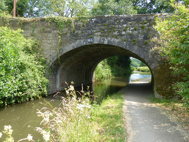
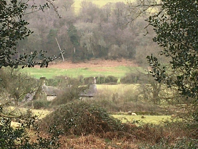
Coed Peggy-Shams Images
Images are sourced within 2km of 51.742121/-3.0213081 or Grid Reference SO2905. Thanks to Geograph Open Source API. All images are credited.


Coed Peggy-Shams is located at Grid Ref: SO2905 (Lat: 51.742121, Lng: -3.0213081)
Unitary Authority: Monmouthshire
Police Authority: Gwent
What 3 Words
///comedians.sticks.gains. Near Pontypool, Torfaen
Nearby Locations
Related Wikis

Ty-Cooke Farmhouse, Mamhilad
Ty-Cooke Farmhouse, Mamhilad, Monmouthshire is a large farmhouse dating from 1710. The farmhouse forms a group with an earlier farmhouse, dating from circa...
Ty-asch, Mamhilad
Ty-asch, Mamhilad, Monmouthshire is a farmhouse dating from the late 16th century. Largely unaltered since its construction, Ty-asch is a Grade II* listed...
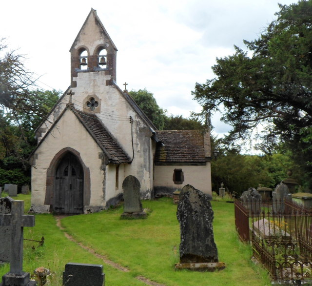
Church of St Illtyd, Mamhilad
The Church of St Illtyd, Mamhilad, Monmouthshire, Wales, is a parish church with its origins in the 11th century. Renovations took place in the 19th century...

Persondy, Mamhilad
Persondy (the Priest's House), Mamhilad, Monmouthshire is a former parsonage dating from the late 16th century. It is a Grade II* listed building. The...

Goytre (Monmouthshire)
Goytre (; Welsh: Goetre) is a village in the community of Goetre Fawr in Monmouthshire, south east Wales, United Kingdom. The population of the whole of...
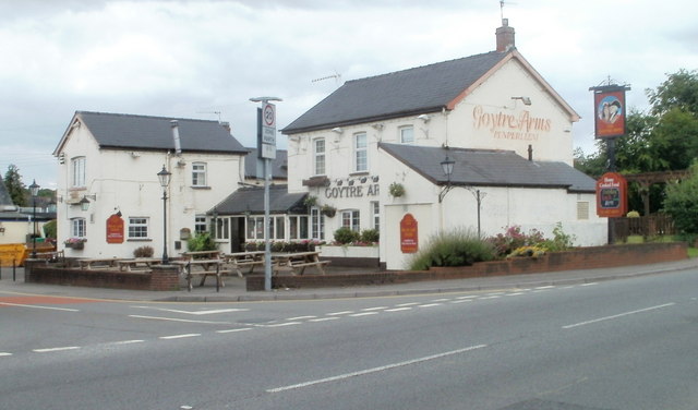
Penperlleni
Penperlleni is a hamlet within community and electoral ward of Goetre Fawr in Monmouthshire, Wales. == Etymology == The name of Penperlleni derives from...

Cwmffrwd Halt railway station
Cwmffrwd Halt railway station served the settlement of Victoria Village, near Abersychan, Torfaen, Wales, from 1912 to 1962 on the Eastern Valley branch...

Folly Tower, Pontypool
The Folly Tower (Welsh: Tŵr Ffoledd) is a folly located within the grounds of a working farm, close to Pontypool Park, Torfaen, South Wales (Grid ref:...
Nearby Amenities
Located within 500m of 51.742121,-3.0213081Have you been to Coed Peggy-Shams?
Leave your review of Coed Peggy-Shams below (or comments, questions and feedback).