Halton Wood

Wood, Forest in Denbighshire

Wales

Halton Wood

Hemmed in by roads A small field west of Halton created by the building of the A5 and its slip road.
Hemmed in by roads Credit: John H Darch

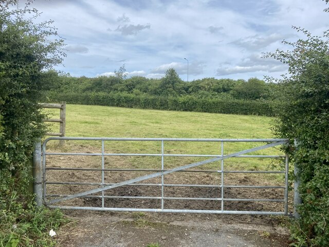
Halton Wood is a picturesque woodland located in Denbighshire, a county in north-east Wales. Situated near the village of Halton, the wood covers an area of approximately 50 acres, making it a popular destination for nature enthusiasts and outdoor lovers.

The wood is predominantly composed of broadleaf trees, including oak, beech, and ash, creating a diverse and vibrant ecosystem. These trees provide a haven for a wide variety of flora and fauna, making it an important habitat for local wildlife. Visitors to Halton Wood can expect to encounter numerous bird species, such as woodpeckers, owls, and thrushes, as well as small mammals like squirrels and hedgehogs.

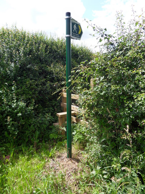
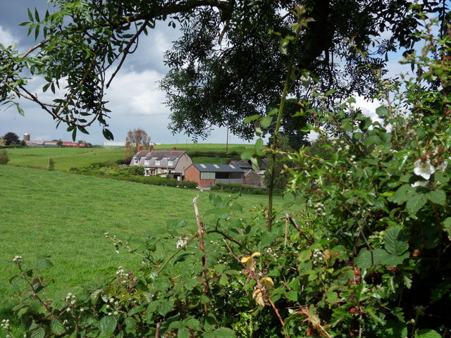
The wood features a network of well-marked trails, allowing visitors to explore its natural beauty while enjoying a leisurely walk or a more adventurous hike. The paths wind through the woodland, offering breathtaking views of the surrounding countryside and the nearby Clwydian Range, an Area of Outstanding Natural Beauty.

Halton Wood is also home to a rich history, with evidence of human activity dating back centuries. Archaeological remains, including Bronze Age burial mounds and Iron Age hillforts, can still be found within the wood, adding a fascinating historical dimension to any visit.

Overall, Halton Wood is a charming and enchanting destination, offering a tranquil escape from the hustle and bustle of everyday life. Whether you are a nature lover, a history enthusiast, or simply seeking a peaceful retreat, this woodland gem is sure to captivate and inspire all who visit.

If you have any feedback on the listing, please let us know in the comments section below.
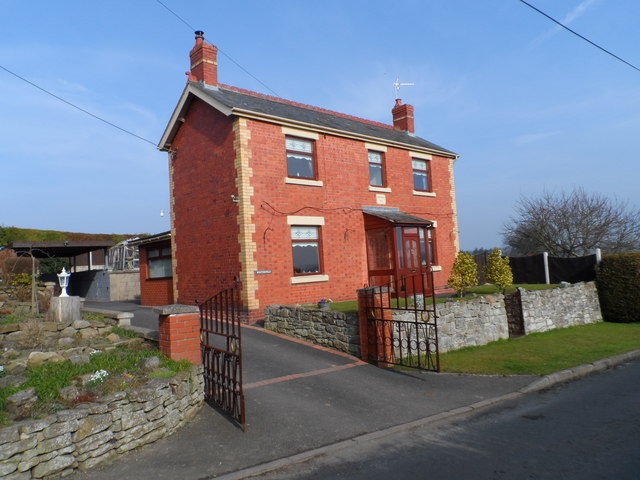
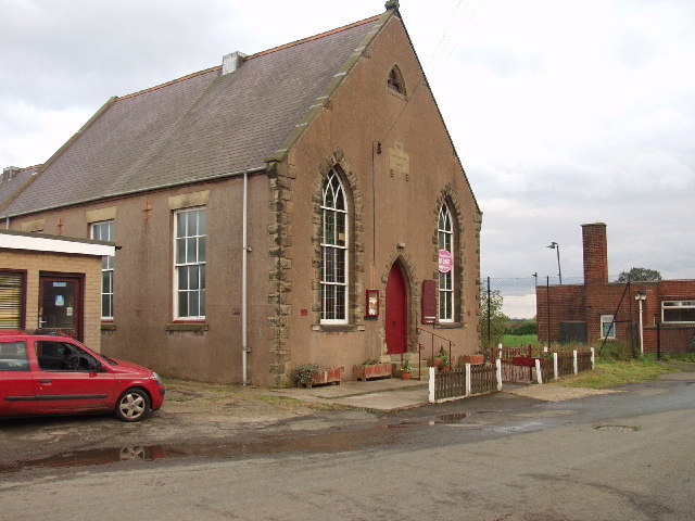
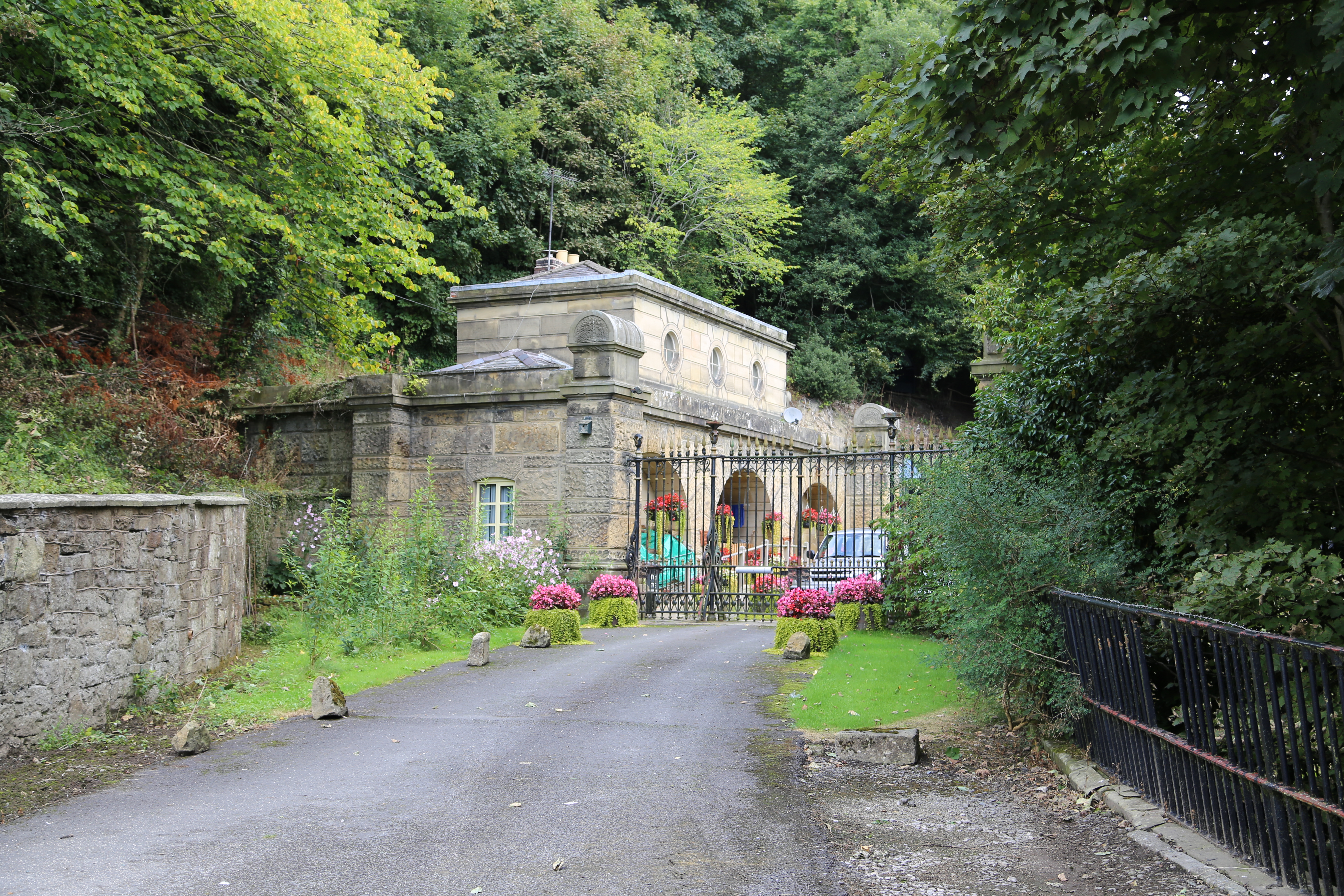
Halton Wood Images

Images are sourced within 2km of 52.956143/-3.0526786 or Grid Reference SJ2940. Thanks to Geograph Open Source API. All images are credited.

Hemmed in by roads A small field west of Halton created by the building of the A5 and its slip road.
Hemmed in by roads
A small field west of Halton created by the building of the A5 and its slip road.
Tin Chapel at Halton This redundant "Tin Chapel" (which is a listed building) has been converted to a wonderful home. The basic structure has been enhanced by sympathetic window openings and although out of style the roof lights for the added first floor do not look out of place. I think this is because some "Tin Chapels" do have roof vents.
Tin Chapel at Halton
This redundant "Tin Chapel" (which is a listed building) has been converted to a wonderful home. The basic structure has been enhanced by sympathetic window openings and although out of style the roof lights for the added first floor do not look out of place. I think this is because some "Tin Chapels" do have roof vents.
Tin Tabernacle One of the many corrugated iron chapels which are fast disappearing, but not in this case, having been sympathetically converted to private residence.
Tin Tabernacle
One of the many corrugated iron chapels which are fast disappearing, but not in this case, having been sympathetically converted to private residence.
Another sympathetic conversion. This fine stone cottage was the Post Office at Halton now " Old Post Office " cottage.
Another sympathetic conversion.
This fine stone cottage was the Post Office at Halton now " Old Post Office " cottage.
Llwybr Cyhoeddus Public footpath leading to Lower Halton.
Llwybr Cyhoeddus
Public footpath leading to Lower Halton.
Lower Halton View across fields towards Lower Halton Farm, near Chirk.
Lower Halton
View across fields towards Lower Halton Farm, near Chirk.
Black Park village sign This is one of several "colliery" community signs that have been commissioned to commemorate the North East Wales coalfield. Erected beside the entrance to a 24 hour McDonald's, perhaps showing how the area has moved from primary industries to the service sector.
<a href="https://www.geograph.org.uk/photo/2863648">SJ2946 : Rhosllannerchrugog village sign</a>
<a href="https://www.geograph.org.uk/photo/2863709">SJ2943 : Rhiwabon village sign</a>
Black Park village sign
This is one of several "colliery" community signs that have been commissioned to commemorate the North East Wales coalfield. Erected beside the entrance to a 24 hour McDonald's, perhaps showing how the area has moved from primary industries to the service sector. SJ2946 : Rhosllannerchrugog village sign SJ2943 : Rhiwabon village sign
Storm drain pond This pond will accept water from the storm drains of the roads, roundabouts and car parks nearby. The water will then be slowly released so as to avoid erosion of local ditches.
Storm drain pond
This pond will accept water from the storm drains of the roads, roundabouts and car parks nearby. The water will then be slowly released so as to avoid erosion of local ditches.
A house called Winterfield Winterfield was built in 1912 of local Ruabon red and yellow bricks and still has a view across the nearby fields.
A house called Winterfield
Winterfield was built in 1912 of local Ruabon red and yellow bricks and still has a view across the nearby fields.
Grazing field leading towards the River Dee The woodland in the distance is on the other side of the River Dee
Grazing field leading towards the River Dee
The woodland in the distance is on the other side of the River Dee
House called The Cherries Large modernised house near the end of the Black Park road.
House called The Cherries
Large modernised house near the end of the Black Park road.
Houses at Black Park Originally this was a small coal mining community, but the North East Wales coalfield now has no working collieries.
Houses at Black Park
Originally this was a small coal mining community, but the North East Wales coalfield now has no working collieries.
Houses at Black Park Viewed from the footpath that leads to the farm access bridge over the A483.
Houses at Black Park
Viewed from the footpath that leads to the farm access bridge over the A483.
Black Park Methodist Chapel The Methodist Chapel and the hall have been converted into several housing units.
<a href="https://www.geograph.org.uk/photo/68800">SJ3040 : Black Park Methodist Chapel</a>
Black Park Methodist Chapel
The Methodist Chapel and the hall have been converted into several housing units. SJ3040 : Black Park Methodist Chapel
Pentre-isaf farm steading A wonderful spot tucked away just above the Afon Dyfrdwy at the very end of a small rural road. A typical lowland sheep and cattle farm.
Pentre-isaf farm steading
A wonderful spot tucked away just above the Afon Dyfrdwy at the very end of a small rural road. A typical lowland sheep and cattle farm.
Approach to Pentre Farm Another remote farm on the edge of the Wynnstay Estate.
Approach to Pentre Farm
Another remote farm on the edge of the Wynnstay Estate.
Black Park Methodist Chapel Black Park Primitive Methodist Chapel was built in 1875 and is currently in regular use. <a href="https://www.geograph.org.uk/photo/3428382">SJ3040 : Black Park Methodist Chapel</a>
Black Park Methodist Chapel
Black Park Primitive Methodist Chapel was built in 1875 and is currently in regular use. SJ3040 : Black Park Methodist Chapel
Chirk Golf Course The course is viewed from the Llangollen Canal towing path and the sign invites boaters to take a round. The building on the sky-line is Chirk castle.
Chirk Golf Course
The course is viewed from the Llangollen Canal towing path and the sign invites boaters to take a round. The building on the sky-line is Chirk castle.
Show me another place!

Halton Wood is located at Grid Ref: SJ2940 (Lat: 52.956143, Lng: -3.0526786)

Unitary Authority: Wrexham

Police Authority: North Wales

What 3 Words

///hamster.untrained.posting. Near Chirk, Wrexham

Related Wikis

Whitehurst Halt railway station

Whitehurst Halt was a small railway station located on the Shrewsbury to Chester Line about a mile and a half north of Chirk in Wales, immediately on the...

River Eitha

The River Eitha (Welsh: Afon Eitha) is a small river in Wrexham County Borough, Wales. It is part of the River Dee catchment. Its name was probably derived...

Cefn Viaduct, Wrexham

The Cefn (Newbridge) Viaduct is Grade II* listed railway viaduct across the River Dee between Cefn and Chirk communities in Wrexham County Borough, Wales...

Chirk Community Hospital

Chirk Community Hospital (Welsh: Ysbyty Cymuned Y Waun) is a community hospital in Chirk, Wales. It is managed by the Betsi Cadwaladr University Health...

Newbridge, Wrexham

Newbridge () is a village in Wrexham County Borough, Wales. The village is within the community of Cefn, to the south-east of Cefn Mawr. Newbridge is bounded...

Tŷ Mawr Country Park

Tŷ Mawr Country Park (Welsh: Parc Gwledig Tŷ Mawr) is a country park and farm park near Cefn Mawr in Wrexham County Borough, Wales. The country park lies...

Newbridge Lodge

Newbridge Lodge is a gatehouse to the Wynnstay estate near Ruabon, in Wrexham County Borough, North Wales. Designed by Charles Robert Cockerell in 1827...

Cefn railway station

Cefn railway station was a minor railway station on the Great Western Railway's London to Birkenhead main line serving the mining village of Cefn Mawr...

Nearby Amenities

Located within 500m of 52.956143,-3.0526786
Source: npe
Lat/Long: 52.9603344/-3.051096
Power: pole
Lat/Long: 52.9573219/-3.0592851
Power: pole
Lat/Long: 52.956813/-3.0581386
Power: pole
Lat/Long: 52.9562122/-3.0567822
Power: pole
Lat/Long: 52.9557675/-3.0558251
Power: pole
Lat/Long: 52.9548674/-3.0555166
Power: pole
Lat/Long: 52.9538542/-3.0551572
Power: pole
Lat/Long: 52.952854/-3.0548219
Power: pole
Lat/Long: 52.9518278/-3.0544625
The data included in this document is from www.openstreetmap.org. The data is made available under ODbL.

Have you been to Halton Wood?

Leave your review of Halton Wood below (or comments, questions and feedback).