Coed Graig-ddu
Wood, Forest in Monmouthshire
Wales
Coed Graig-ddu

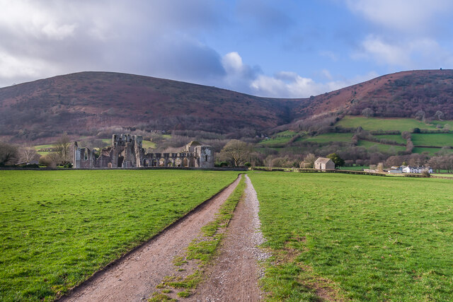
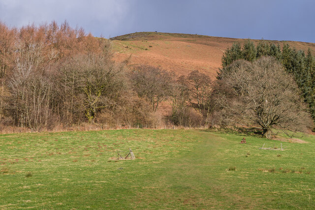
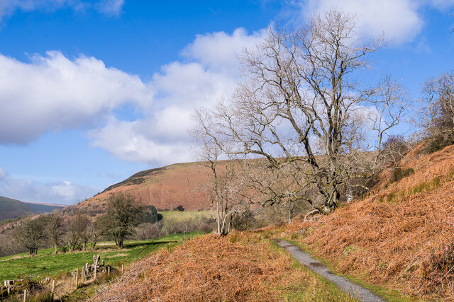
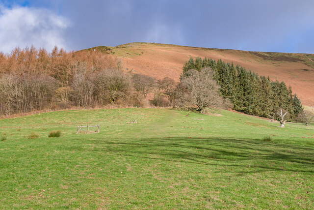
Coed Graig-ddu is a picturesque woodland located in Monmouthshire, Wales. Nestled in the stunning countryside, this forest is a haven for nature enthusiasts and those seeking tranquility and fresh air. The woodland covers an area of approximately 100 hectares and is home to a diverse range of flora and fauna.
The forest is characterized by its dense canopy of oak, beech, and ash trees, which provide shade and shelter for a variety of wildlife species. Visitors can expect to see an array of bird species, including woodpeckers and owls, as well as small mammals such as squirrels and badgers. The forest floor is adorned with a vibrant carpet of wildflowers during the spring and summer months, adding to the beauty of the surroundings.
Coed Graig-ddu offers a network of well-maintained footpaths and trails, making it an ideal location for walking, hiking, and cycling. The paths wind their way through the woodland, enabling visitors to explore its hidden nooks and crannies. There are also picnic areas dotted throughout the forest, providing the perfect opportunity for a leisurely lunch amongst nature.
In addition to its natural beauty, Coed Graig-ddu holds historical significance. The forest has been managed by the Forestry Commission since the early 20th century, and remnants of past industries, such as charcoal production, can still be found within its boundaries.
Overall, Coed Graig-ddu is a captivating woodland that offers a peaceful escape from the hustle and bustle of everyday life. Its rich biodiversity, well-maintained trails, and historical charm make it a must-visit destination for nature lovers and outdoor enthusiasts.
If you have any feedback on the listing, please let us know in the comments section below.
Coed Graig-ddu Images
Images are sourced within 2km of 51.935108/-3.0318382 or Grid Reference SO2926. Thanks to Geograph Open Source API. All images are credited.


Coed Graig-ddu is located at Grid Ref: SO2926 (Lat: 51.935108, Lng: -3.0318382)
Unitary Authority: Monmouthshire
Police Authority: Gwent
What 3 Words
///blanking.plantings.spans. Near Longtown, Herefordshire
Nearby Locations
Related Wikis
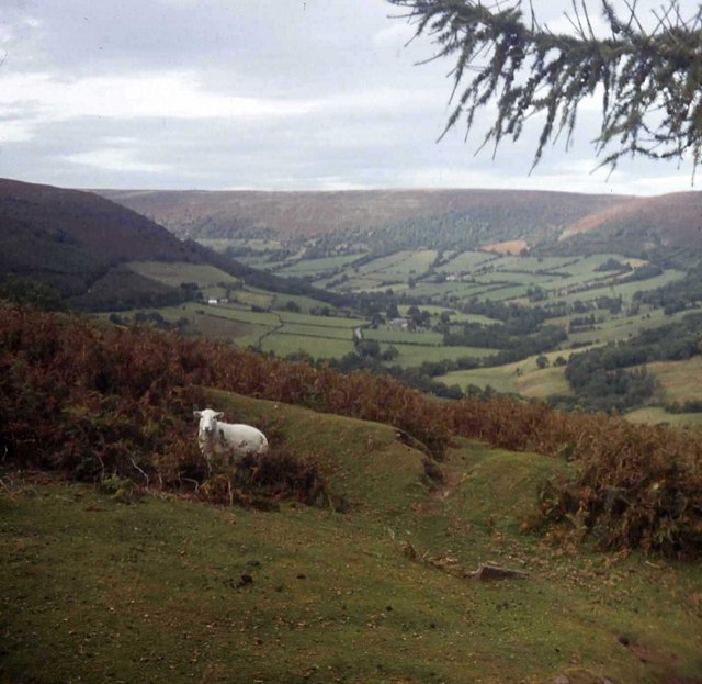
Vale of Ewyas
The Vale of Ewyas (Welsh: Dyffryn Ewias) is the steep-sided and secluded valley of the River Honddu, in the Black Mountains of Wales and within the Brecon...
St David's Church, Llanthony
St David's Church is a medieval structure at Llanthony Priory. Established as a church in the sixteenth century, and restored in the late nineteenth century...

Cwm Bwchel Farmhouse, Llanthony
Cwm Bwchel Farmhouse, Llanthony, Monmouthshire is a farmhouse dating from the late-Medieval period. It carries a date stone of 1694, which probably refers...
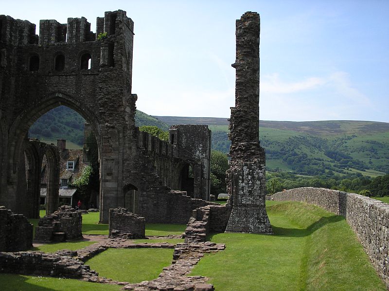
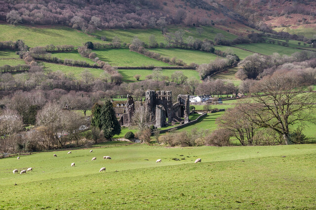
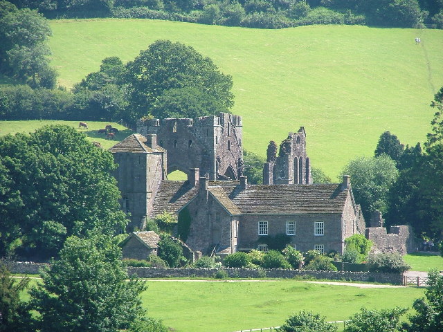
Llanthony Priory
Llanthony Priory (Welsh: Priordy Llanddewi Nant Hodni) is a partly ruined former Augustinian priory in the secluded Vale of Ewyas, a steep-sided once...

Court Farmhouse, Llanthony
Court Farmhouse, Llanthony, Monmouthshire is a farmhouse of late medieval origins. It may have originally been lodgings for the Prior of Llanthony. Following...

Abbey Hotel, Llanthony Priory
Abbey Hotel (also known as the Llanthony Priory Hotel) is a Grade I listed building incorporating a hotel and country inn in Llanthony, Monmouthshire,...

Court Farm Barn, Llanthony Priory
Court Farm Barn, Llanthony Priory, Monmouthshire, is a barn of late medieval origins that forms part of a group of historic buildings in the priory complex...
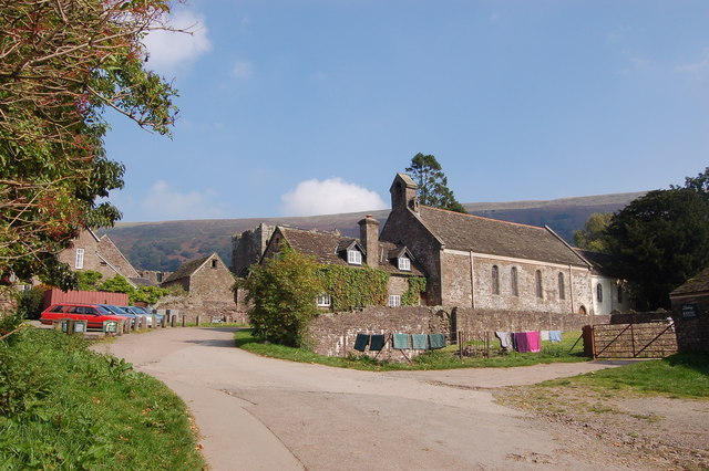
Llanthony
Llanthony (, Welsh: Llanddewi Nant Honddu Welsh pronunciation: [ɬanˈtoːniː]) is a village in the community of Crucorney on the northern edge of Monmouthshire...
Nearby Amenities
Located within 500m of 51.935108,-3.0318382Have you been to Coed Graig-ddu?
Leave your review of Coed Graig-ddu below (or comments, questions and feedback).