Nant Mill Wood

Wood, Forest in Denbighshire

Wales

Nant Mill Wood

Autumnal woodland Above Nant Bridge.
Autumnal woodland Credit: John H Darch

Nant Mill Wood is a picturesque woodland located in Denbighshire, a county in the northeast of Wales. It covers an area of approximately 35 hectares and is situated adjacent to the village of Coedpoeth. The wood is a popular destination for locals and tourists alike, offering a tranquil escape from the hustle and bustle of everyday life.

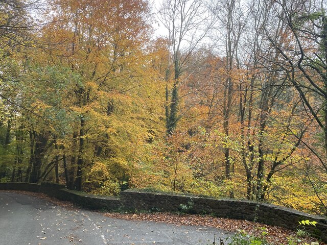
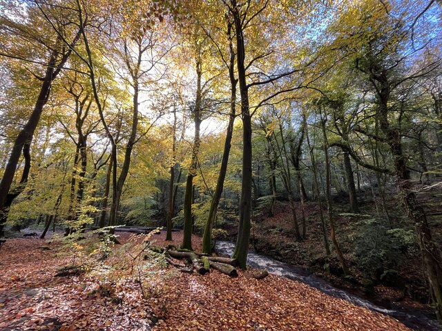
The woodland is home to a diverse range of tree species, including oak, beech, and ash, which create a rich and vibrant canopy overhead. The forest floor is carpeted with a variety of native plants and wildflowers, providing a haven for wildlife. Visitors to Nant Mill Wood can expect to encounter a wide array of bird species, such as woodpeckers, nuthatches, and jays, as well as small mammals like squirrels and hedgehogs.

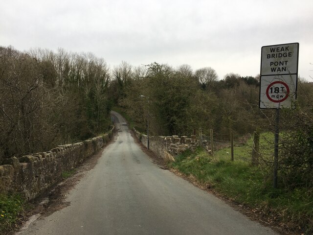
Several well-marked walking trails wind their way through the wood, allowing visitors to explore its natural beauty at their own pace. The paths meander alongside the babbling Nant Mill stream, which adds to the serenity of the surroundings. Along the way, there are numerous picnic spots and benches, providing opportunities to rest and take in the tranquil ambiance.

Nant Mill Wood also offers educational and recreational facilities, including a visitor center with informative displays about the local flora and fauna. The wood is managed by the local authorities, who ensure its conservation and preservation for future generations to enjoy.

Overall, Nant Mill Wood is a charming woodland retreat that offers a peaceful and immersive experience in the heart of Denbighshire's natural beauty.

If you have any feedback on the listing, please let us know in the comments section below.

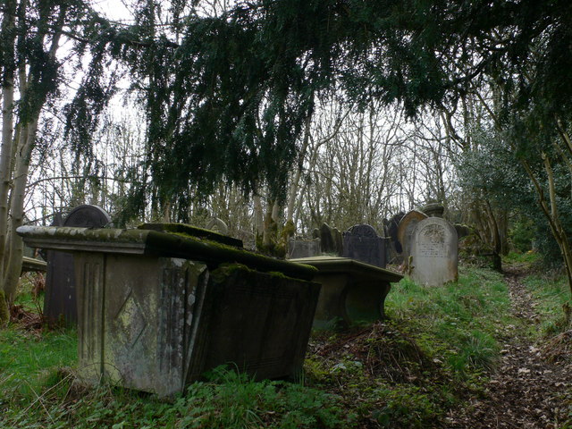
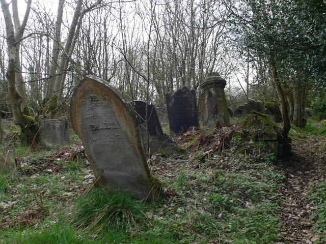
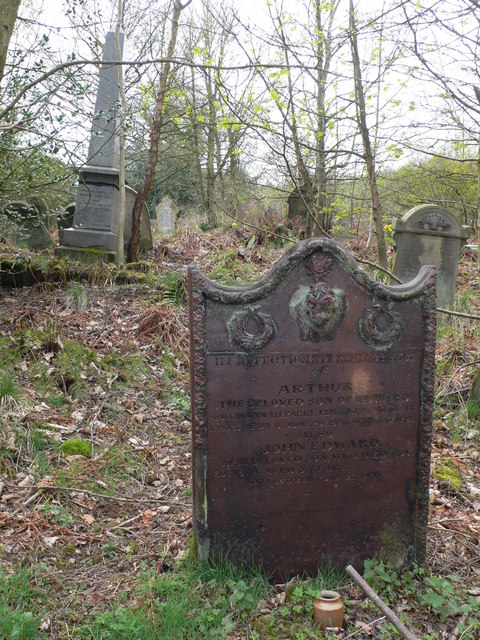
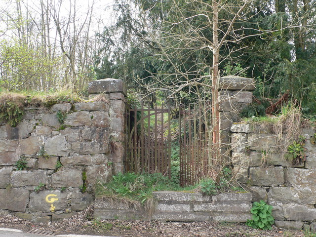
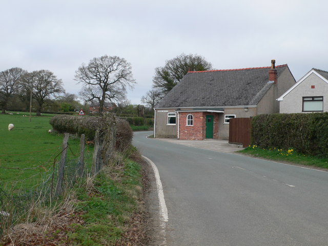
Nant Mill Wood Images

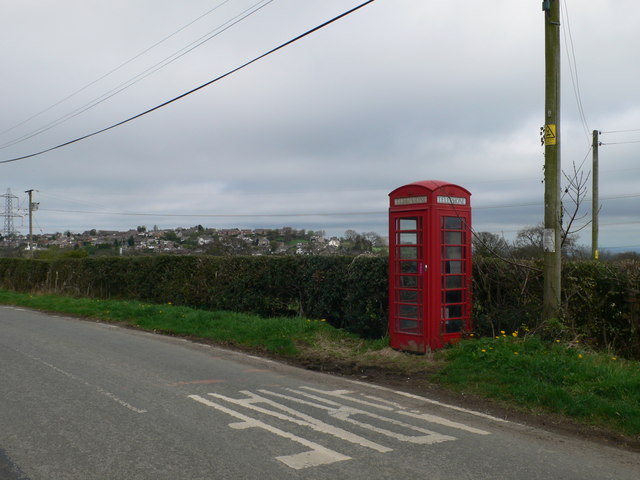
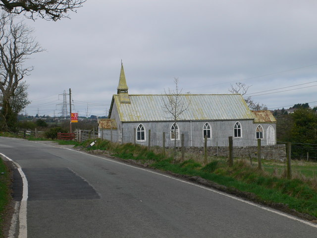
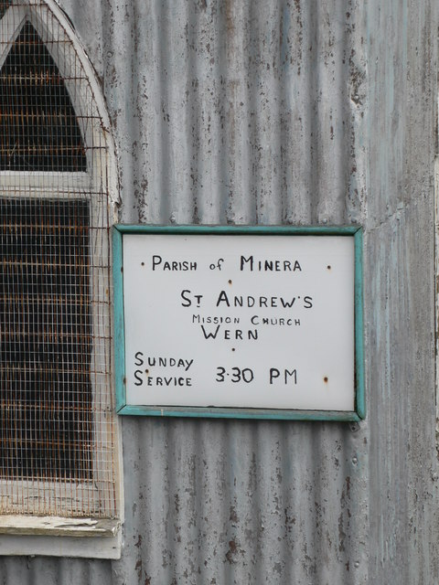
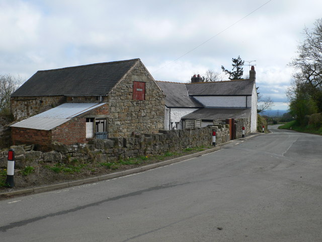
Images are sourced within 2km of 53.042557/-3.0701017 or Grid Reference SJ2850. Thanks to Geograph Open Source API. All images are credited.

Autumnal woodland Above Nant Bridge.
Autumnal woodland
Above Nant Bridge.
Bridge over River Gwenfro
Double rainbow glory Stunning display through a heavy rain shower.
Double rainbow glory
Stunning display through a heavy rain shower.
Autumn splendour
Autumn splendour
Hillside Farm at Wern, near Coedpoeth The farm overlooks the valley of the Clywedog.
Hillside Farm at Wern, near Coedpoeth
The farm overlooks the valley of the Clywedog.
Telephone box on the B5426 at Wern In the distance, and the other side of the Clywedog valley, is Coedpoeth.
Telephone box on the B5426 at Wern
In the distance, and the other side of the Clywedog valley, is Coedpoeth.
St Andrew's Church - for sale Though the noticeboard on the church still promises a service at 3.30.
St Andrew's Church - for sale
Though the noticeboard on the church still promises a service at 3.30.
St Andrew's Mission Church, Wern Suitably rustic noticeboard on St Andrew's Church, Wern, though the church is now for sale.
St Andrew's Mission Church, Wern
Suitably rustic noticeboard on St Andrew's Church, Wern, though the church is now for sale.
Wern Farm, south of Minera
Dilapidated graveyard at Wern You nearly miss this very overgrown graveyard when walking along the road - it is hidden behind a stone wall. The graves are all higgledy-piggledy.
Dilapidated graveyard at Wern
You nearly miss this very overgrown graveyard when walking along the road - it is hidden behind a stone wall. The graves are all higgledy-piggledy.
Neglected graveyard at Wern, near Minera Another view of the graveyard <a href="https://www.geograph.org.uk/photo/2346889">SJ2750 : Dilapidated graveyard at Wern</a> - strangely in these days of health and safety issues, the gravestones have been left at all angles.
Neglected graveyard at Wern, near Minera
Another view of the graveyard SJ2750 : Dilapidated graveyard at Wern - strangely in these days of health and safety issues, the gravestones have been left at all angles.
Child's gravestone, at Wern Marking the grave of two children, one aged only 4 days, of Edward and Hannah Parry of Llwynenion. The stone stands out because of its colour, and the fact that it is quite upright in this graveyard which is otherwise very neglected.
Child's gravestone, at Wern
Marking the grave of two children, one aged only 4 days, of Edward and Hannah Parry of Llwynenion. The stone stands out because of its colour, and the fact that it is quite upright in this graveyard which is otherwise very neglected.
Gateway to the neglected graveyard at Wern
Face in the wall Carved head in the gatepost of a house at Wern.
Face in the wall
Carved head in the gatepost of a house at Wern.
Run-down farm to the south of Minera
Southern entrance to the Minera Lead Mines Country Park
Detail on St Andrew's Mission Church, Wern Close up of the roof of the porch on the corrugated iron building that houses the church.
Detail on St Andrew's Mission Church, Wern
Close up of the roof of the porch on the corrugated iron building that houses the church.
Minera Lead Mines The mines here were worked for many centuries until finally closing in 1914.
Minera Lead Mines
The mines here were worked for many centuries until finally closing in 1914.
Show me another place!

Nant Mill Wood is located at Grid Ref: SJ2850 (Lat: 53.042557, Lng: -3.0701017)

Unitary Authority: Wrexham

Police Authority: North Wales

What 3 Words

///vineyard.patrol.courts. Near Coedpoeth, Wrexham

Related Wikis

Nant Mill

Nant Mill is a country park in Wrexham County Borough, Wales. It is managed by Wrexham County Borough Council and named after a historic corn mill located...

Esclusham

Esclusham (Welsh: Esclus or Esclys) is a community and electoral ward in Wrexham County Borough, Wales. The community includes the villages of Bersham...

Aberoer

Aberoer or Aber-oer (Welsh: [abɛrˈɔɨr] ) is a scattered settlement in Wrexham County Borough, Wales; prior to 1974 it was in Denbighshire. It is part of...
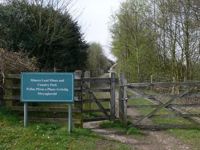
Minera Lead Mines

The Minera Lead Mines were a mining operation and are now a country park and tourist centre in the village of Minera near Wrexham, in Wrexham County Borough...

Nearby Amenities

Located within 500m of 53.042557,-3.0701017
Grit Bin
Lat/Long: 53.046216/-3.069193
Power: tower
Lat/Long: 53.042092/-3.0657558
Power: tower
Lat/Long: 53.0403184/-3.0639887
Power: tower
Lat/Long: 53.0420646/-3.065242
Power: tower
Lat/Long: 53.0402135/-3.0644198
Power: tower
Lat/Long: 53.0408507/-3.0694602
Power: tower
Lat/Long: 53.0435839/-3.0719696
Barrier: stile
Lat/Long: 53.0468976/-3.0713712
Direction: 215
Generator Method: photovoltaic
Generator Output Electricity: yes
Generator Solar Modules: 16
Generator Source: solar
Generator Type: solar_photovoltaic_panel
Location: roof
Power: generator
Lat/Long: 53.0458641/-3.0682429
The data included in this document is from www.openstreetmap.org. The data is made available under ODbL.

Have you been to Nant Mill Wood?

Leave your review of Nant Mill Wood below (or comments, questions and feedback).