Mine Wood
Wood, Forest in Denbighshire
Wales
Mine Wood
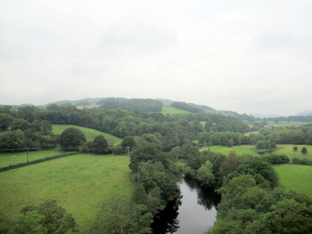
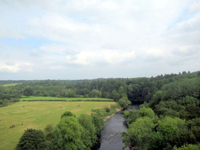
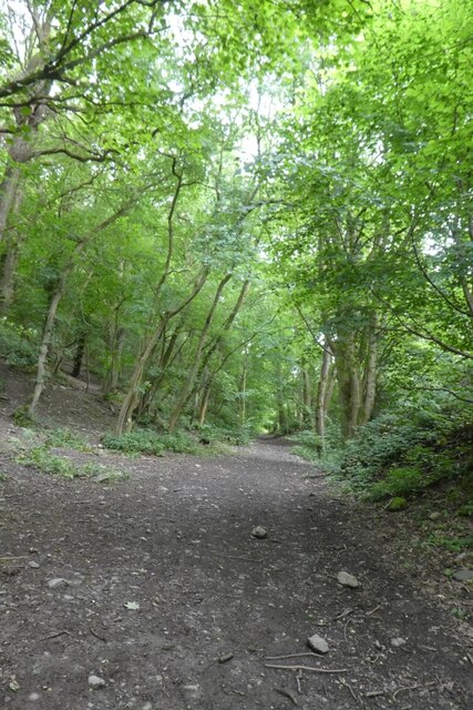
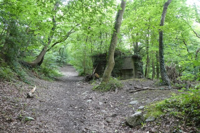
Mine Wood is a picturesque woodland located in Denbighshire, Wales. Spread over an area of approximately 200 acres, this forest is a haven for nature enthusiasts and those seeking tranquility in the great outdoors.
The forest is characterized by its diverse range of tree species, including oak, birch, and beech, which provide a lush green canopy throughout the year. The woodland floor is adorned with a colorful carpet of wildflowers, adding to the enchanting atmosphere. The trees also serve as a habitat for a variety of wildlife, such as squirrels, badgers, and numerous bird species, making it an ideal spot for birdwatching and animal spotting.
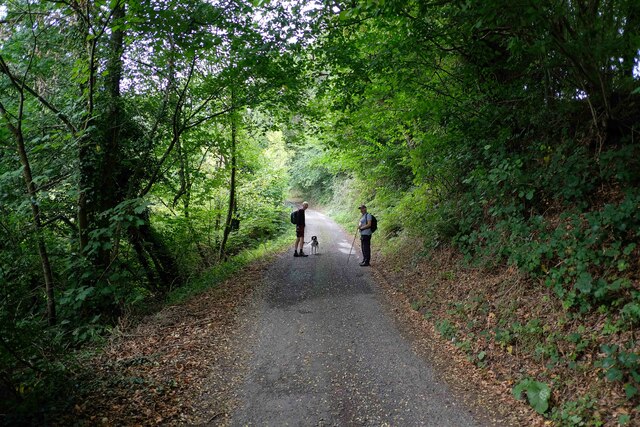
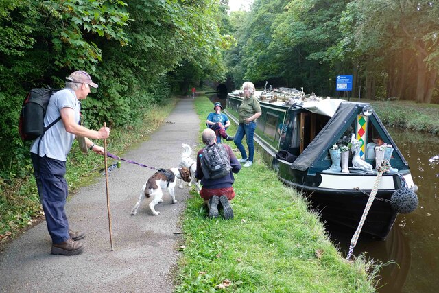
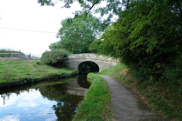
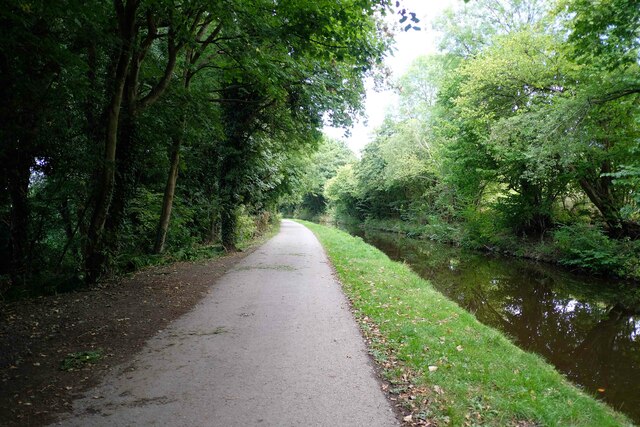
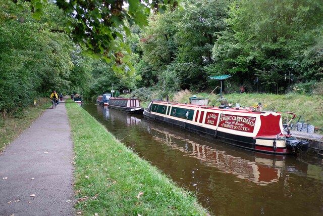
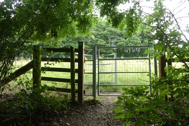
Mine Wood offers a network of well-maintained walking trails, allowing visitors to explore the forest at their own pace. These trails range in difficulty, catering to both casual strollers and more experienced hikers. Along the way, walkers can enjoy breathtaking views of the surrounding countryside and may stumble upon hidden gems such as a babbling brook or a secluded picnic area.
The woodland is managed by the local authorities, ensuring its preservation and conservation. The forest is open to the public year-round and is free to access, making it a popular destination for both locals and tourists. Visitors are encouraged to follow the Leave No Trace principles, respecting the natural environment and taking their litter home.
Whether you are looking for a peaceful stroll, a family picnic, or a chance to reconnect with nature, Mine Wood in Denbighshire offers a truly idyllic setting to escape the hustle and bustle of daily life.
If you have any feedback on the listing, please let us know in the comments section below.
Mine Wood Images
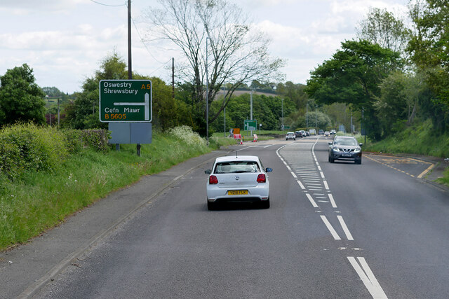
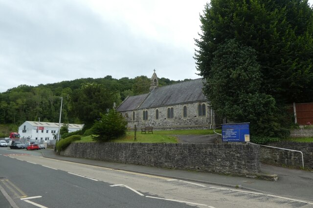
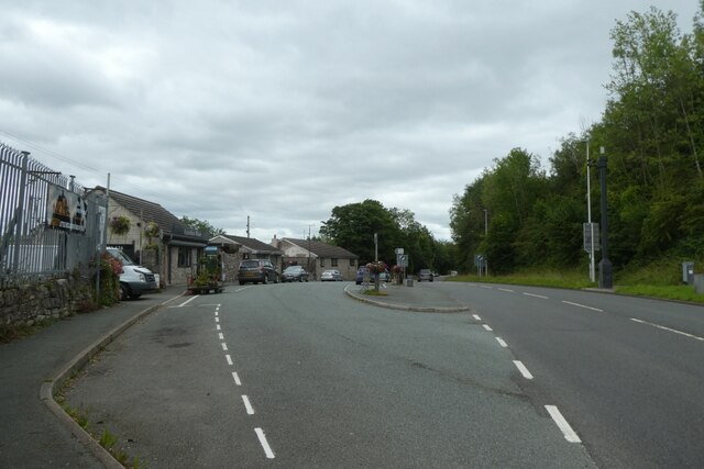
Images are sourced within 2km of 52.94642/-3.0732931 or Grid Reference SJ2739. Thanks to Geograph Open Source API. All images are credited.


Mine Wood is located at Grid Ref: SJ2739 (Lat: 52.94642, Lng: -3.0732931)
Unitary Authority: Wrexham
Police Authority: North Wales
What 3 Words
///jolt.paces.reader. Near Chirk, Wrexham
Nearby Locations
Related Wikis

Whitehurst Halt railway station
Whitehurst Halt was a small railway station located on the Shrewsbury to Chester Line about a mile and a half north of Chirk in Wales, immediately on the...
Chirk Community Hospital
Chirk Community Hospital (Welsh: Ysbyty Cymuned Y Waun) is a community hospital in Chirk, Wales. It is managed by the Betsi Cadwaladr University Health...
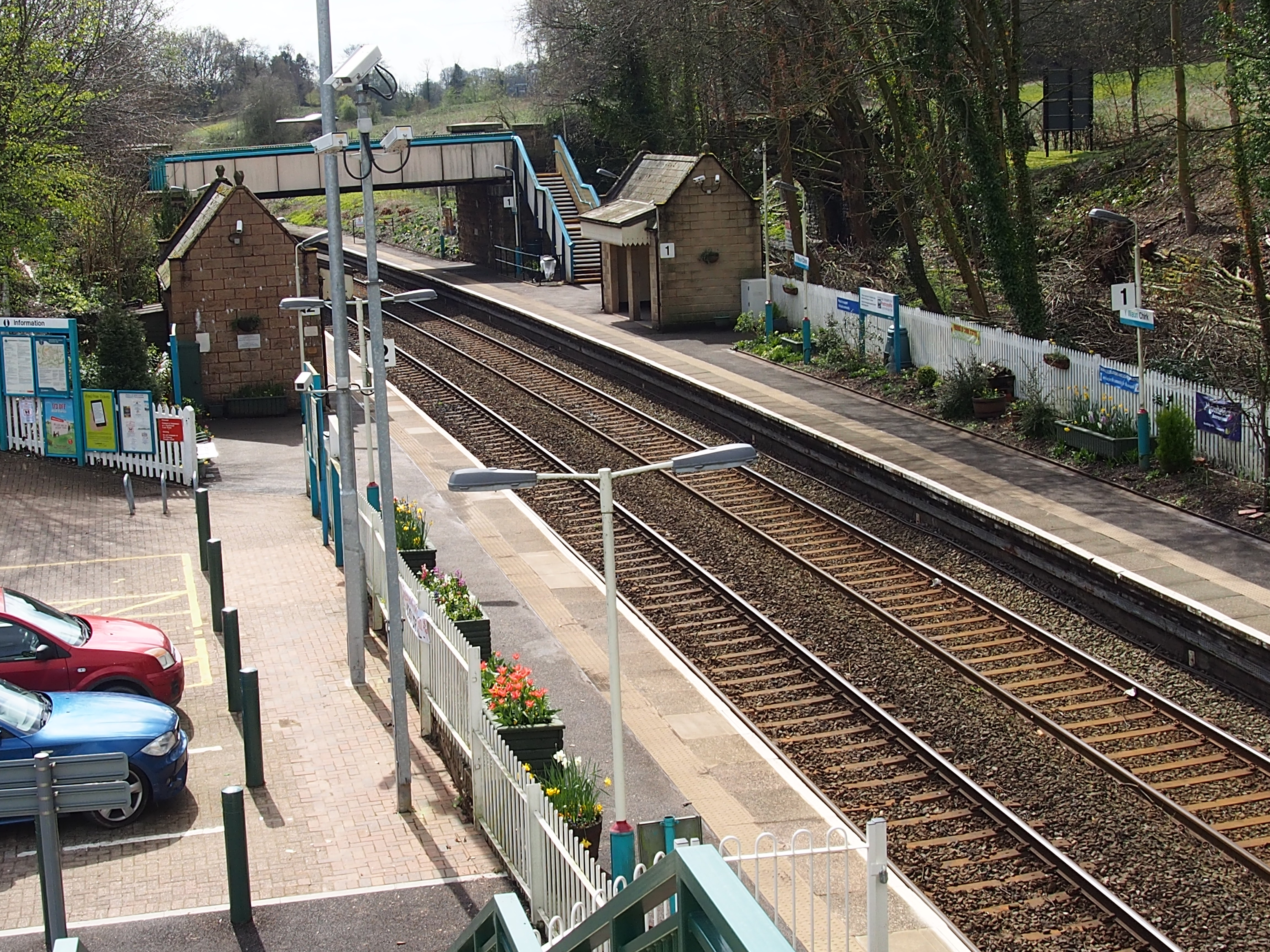
Chirk railway station
Chirk railway station (Welsh: Y Waun) serves the town of Chirk, Wrexham County Borough, Wales. The station is on the Shrewsbury to Chester Line 21 miles...
Chirk AAA F.C.
Chirk AAA F.C. is a Welsh football team based in Chirk, Wales. They compete in the Cymru North. They were previously in the Premier division of the Welsh...
Nearby Amenities
Located within 500m of 52.94642,-3.0732931Have you been to Mine Wood?
Leave your review of Mine Wood below (or comments, questions and feedback).