Nant Wood

Wood, Forest in Flintshire

Wales

Nant Wood

Approaching Bwlchgwyn - the "highest village in Wales" At an elevation of approx 1100ft, and about 6 miles from Wrexham, it is not unusual for Bwlchgwyn to be cut off by snow whilst Wrexham enjoys beautiful spring weather.
Approaching Bwlchgwyn - the "highest village in Wales" Credit: Eirian Evans

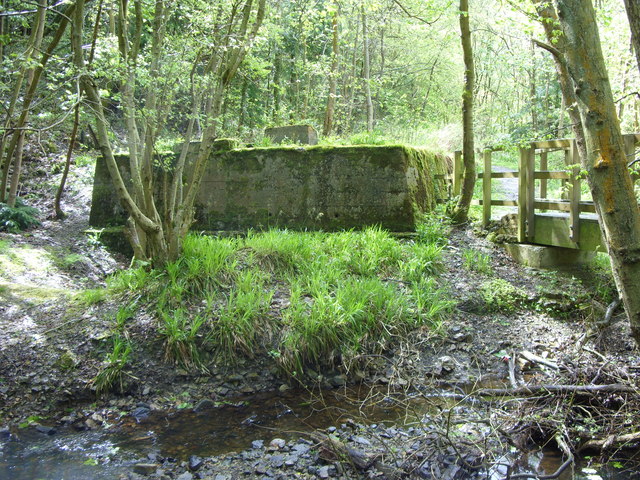
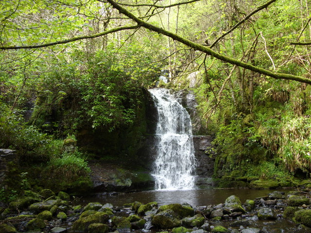
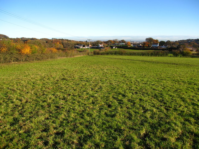
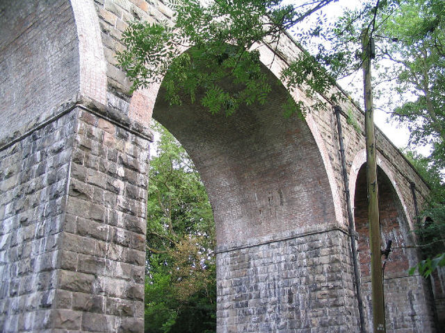
Nant Wood is a picturesque forest located in Flintshire, Wales. Covering an area of approximately 100 acres, the wood is a popular destination for nature lovers and outdoor enthusiasts.

The woodland is predominantly made up of native broadleaf trees such as oak, beech, and birch, creating a vibrant and diverse ecosystem that supports a wide variety of flora and fauna. Visitors can expect to see an array of wildlife in the wood, including birds, deer, and squirrels.

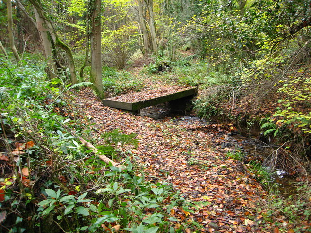
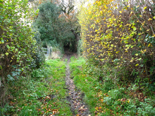
There are several well-marked walking trails that wind their way through the wood, offering visitors the opportunity to explore the natural beauty of the area at their own pace. The wood also features a small stream that meanders through the trees, adding to the tranquility and charm of the surroundings.

Nant Wood is managed by the local council and is open to the public year-round. It is a peaceful and idyllic escape from the hustle and bustle of everyday life, providing a space for relaxation, contemplation, and connection with nature.

If you have any feedback on the listing, please let us know in the comments section below.

Nant Wood Images

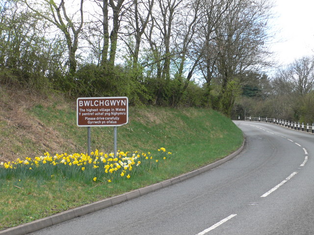
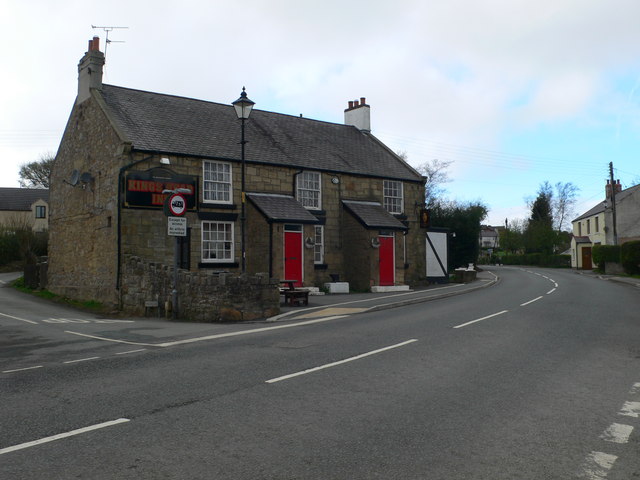
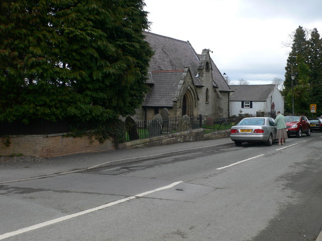
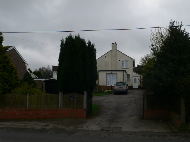
Images are sourced within 2km of 53.087091/-3.0849878 or Grid Reference SJ2754. Thanks to Geograph Open Source API. All images are credited.

Approaching Bwlchgwyn - the "highest village in Wales" At an elevation of approx 1100ft, and about 6 miles from Wrexham, it is not unusual for Bwlchgwyn to be cut off by snow whilst Wrexham enjoys beautiful spring weather.
Approaching Bwlchgwyn - the "highest village in Wales"
At an elevation of approx 1100ft, and about 6 miles from Wrexham, it is not unusual for Bwlchgwyn to be cut off by snow whilst Wrexham enjoys beautiful spring weather.
The Kings Head Inn, Bwlchgwyn Standing on the crossroads of Ruthin Road, Fronheulog Hill and Brymbo Road. The last remaining open pub in Bwlchgwyn.
The Kings Head Inn, Bwlchgwyn
Standing on the crossroads of Ruthin Road, Fronheulog Hill and Brymbo Road. The last remaining open pub in Bwlchgwyn.
Christ Church, Bwlchgwyn Christ Church was consecrated on 1 October 1879. Originally built as a school in 1867, an application was made between 1876 and 1879 to the Church Authorities , for a grant towards the conversion of the building from a school to a church.
Christ Church, Bwlchgwyn
Christ Church was consecrated on 1 October 1879. Originally built as a school in 1867, an application was made between 1876 and 1879 to the Church Authorities , for a grant towards the conversion of the building from a school to a church.
The Old Police Station, Bwlchgwyn
Capel Nebo, Bwlchgwyn Now converted into a house, this chapel was built in 1852 for the Independents.
Capel Nebo, Bwlchgwyn
Now converted into a house, this chapel was built in 1852 for the Independents.
Westminster Arms, Bwlchgwyn This is another pub which is no longer in business.
Westminster Arms, Bwlchgwyn
This is another pub which is no longer in business.
House near Smelt Wood At the junction of Brymbo Road and Gegin Road
House near Smelt Wood
At the junction of Brymbo Road and Gegin Road
Concrete structure, Nant y Ffrith This large concrete base is next to the footbridge and has the rough-cast concrete look of a 1930s or 40s industrial building. What was its purpose? Mining? There are mounting bolts and nearby coils of old wire rope. There is a mine level near.
Concrete structure, Nant y Ffrith
This large concrete base is next to the footbridge and has the rough-cast concrete look of a 1930s or 40s industrial building. What was its purpose? Mining? There are mounting bolts and nearby coils of old wire rope. There is a mine level near.
Waterfall, Nant y Ffrith
Lane going towards Wern Ganol A really quiet lane continuing off the bridleway from The Smithy near Llanfynydd. A pleasant ride with a switched on horse! - ears pricked!
Lane going towards Wern Ganol
A really quiet lane continuing off the bridleway from The Smithy near Llanfynydd. A pleasant ride with a switched on horse! - ears pricked!
Llanfynydd Flintshire Riding on horseback through Llanfynydd.  The Garage is on the left. We were heading back to where we left our trailer.
Llanfynydd Flintshire
Riding on horseback through Llanfynydd. The Garage is on the left. We were heading back to where we left our trailer.
Grazing fields west of the B5101 Gyfynys Farm on the left and Woodlands Farm to the rear
Grazing fields west of the B5101
Gyfynys Farm on the left and Woodlands Farm to the rear
Woodland strip west of Miners Road - the B5102
Stream by a footbridge in woodland On a footpath from Miners Road to Glascoed Road
Stream by a footbridge in woodland
On a footpath from Miners Road to Glascoed Road
Footbridge over stream in woodland For footpath leading from Glascoed Road towards Cefn Farm
Footbridge over stream in woodland
For footpath leading from Glascoed Road towards Cefn Farm
Bridleway near Glascoed Hall Heading to Glascoed Road from Ffrith
Bridleway near Glascoed Hall
Heading to Glascoed Road from Ffrith
Junction of paths west of Ffrith The bridleway to the left heads for Glascoed Road and the path to the right takes you into the Nant-y-Ffrith valley
Junction of paths west of Ffrith
The bridleway to the left heads for Glascoed Road and the path to the right takes you into the Nant-y-Ffrith valley
Old stone footbridge east of Ffrith The footpath from here takes you to Cymau Road
Old stone footbridge east of Ffrith
The footpath from here takes you to Cymau Road
Show me another place!

Nant Wood is located at Grid Ref: SJ2754 (Lat: 53.087091, Lng: -3.0849878)

Unitary Authority: Flintshire

Police Authority: North Wales

What 3 Words

///scrub.dangerously.trail. Near Brymbo, Wrexham

Related Wikis

Ffrith railway station

Ffrith railway station was a station in Ffrith, Flintshire, Wales. The station was opened on 2 May 1898 and closed on 27 March 1950. == References... ==

Ffrith

Ffrith is a small village in the community of Llanfynydd in Flintshire, north-east Wales. == Name == The name Ffrith (the Welsh double "f" is pronounced...

Llanfynydd railway station

Llanfynydd railway station was a station in Llanfynydd, Flintshire, Wales. The station was opened on 2 May 1898, closed to passengers on 27 March 1950...

North East Wales

North East Wales (Welsh: Gogledd-Ddwyrain Cymru) is an area or region of Wales, commonly defined as a grouping of the principal areas of Denbighshire,...

Nearby Amenities

Located within 500m of 53.087091,-3.0849878
Barrier: stile
Lat/Long: 53.0873146/-3.0919522
Tourism: viewpoint
Lat/Long: 53.0851239/-3.0917215
The data included in this document is from www.openstreetmap.org. The data is made available under ODbL.

Have you been to Nant Wood?

Leave your review of Nant Wood below (or comments, questions and feedback).