Cobbler's Wood

Wood, Forest in Flintshire

Wales

Cobbler's Wood

A494 between New Brighton and Alltami The A494 is a primary trunk route which runs for almost 62 miles between the terminus of the M56 motorway between Mollington and Capenhurst and the A470 at Dolgellau. Its northern sections remain among the busiest roads in Wales. As well as passing through part of the Snowdonia National Park, the A494 also forms part of the North Wales coast route between the A55 and M56.
A494 between New Brighton and Alltami Credit: David Dixon

The requested URL returned error: 429 Too Many Requests

If you have any feedback on the listing, please let us know in the comments section below.

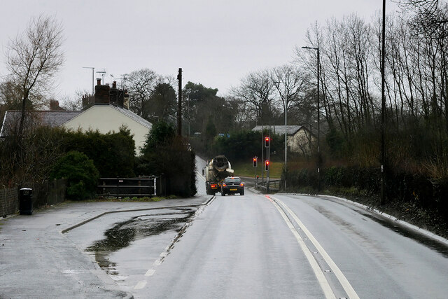
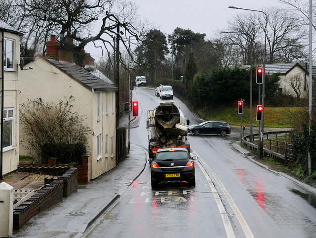
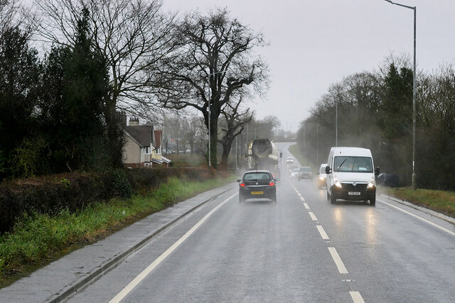
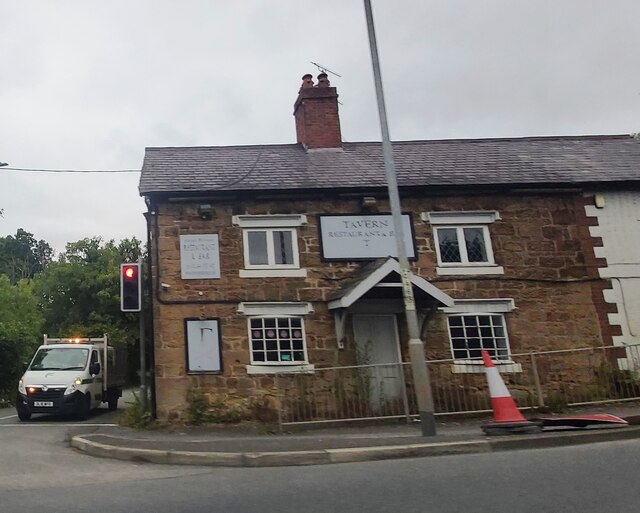
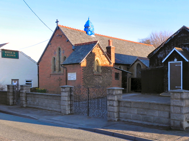
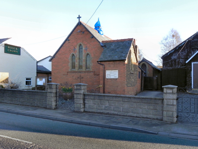
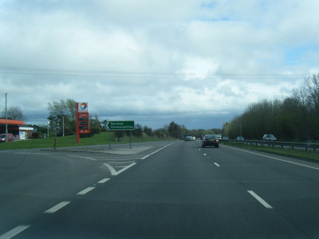
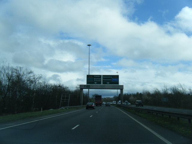
Cobbler's Wood Images

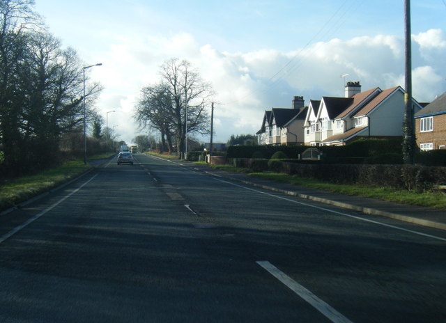
Images are sourced within 2km of 53.19047/-3.0966816 or Grid Reference SJ2666. Thanks to Geograph Open Source API. All images are credited.

A494 between New Brighton and Alltami The A494 is a primary trunk route which runs for almost 62 miles between the terminus of the M56 motorway between Mollington and Capenhurst and the A470 at Dolgellau. Its northern sections remain among the busiest roads in Wales. As well as passing through part of the Snowdonia National Park, the A494 also forms part of the North Wales coast route between the A55 and M56.
A494 between New Brighton and Alltami
The A494 is a primary trunk route which runs for almost 62 miles between the terminus of the M56 motorway between Mollington and Capenhurst and the A470 at Dolgellau. Its northern sections remain among the busiest roads in Wales. As well as passing through part of the Snowdonia National Park, the A494 also forms part of the North Wales coast route between the A55 and M56.
A494 Crossroads at Alltami The A494 is a primary trunk route which runs for almost 62 miles between the terminus of the M56 motorway between Mollington and Capenhurst and the A470 at Dolgellau. Its northern sections remain among the busiest roads in Wales. As well as passing through part of the Snowdonia National Park, the A494 also forms part of the North Wales coast route between the A55 and M56.
A494 Crossroads at Alltami
The A494 is a primary trunk route which runs for almost 62 miles between the terminus of the M56 motorway between Mollington and Capenhurst and the A470 at Dolgellau. Its northern sections remain among the busiest roads in Wales. As well as passing through part of the Snowdonia National Park, the A494 also forms part of the North Wales coast route between the A55 and M56.
Mold Road (A494) The A494 is a primary trunk route which runs for almost 62 miles between the terminus of the M56 motorway between Mollington and Capenhurst and the A470 at Dolgellau. Its northern sections remain among the busiest roads in Wales. As well as passing through part of the Snowdonia National Park, the A494 also forms part of the North Wales coast route between the A55 and M56.
Mold Road (A494)
The A494 is a primary trunk route which runs for almost 62 miles between the terminus of the M56 motorway between Mollington and Capenhurst and the A470 at Dolgellau. Its northern sections remain among the busiest roads in Wales. As well as passing through part of the Snowdonia National Park, the A494 also forms part of the North Wales coast route between the A55 and M56.
Former Tavern Restaurant at Alltami
McDonald's restaurant at Northop Services
Study of a Gasoline Station Shell, Northop Hall.

 This photograph is part of a series taken in homage to the American artist Ed Ruscha's 1963 publication of 'Twentysix Gasoline Stations'.
 More properly known as filling stations in the UK, I am attempting to photograph as many as possible to mark the sixty year anniversary.
Study of a Gasoline Station
Shell, Northop Hall. This photograph is part of a series taken in homage to the American artist Ed Ruscha's 1963 publication of 'Twentysix Gasoline Stations'. More properly known as filling stations in the UK, I am attempting to photograph as many as possible to mark the sixty year anniversary.
Rose and Crown The Rose & Crown Inn, Main Road, New Brighton, Mold.
Rose and Crown
The Rose & Crown Inn, Main Road, New Brighton, Mold.
Rose and Crown, New Brighton The Rose & Crown, Main Road, New Brighton, Mold.
Rose and Crown, New Brighton
The Rose & Crown, Main Road, New Brighton, Mold.
St James' Church, New Brighton A daughter church of <a href="https://www.geograph.org.uk/photo/2321633">SJ2364 : St Mary's Parish Church, Mold</a>, the church of St James, in the village of New Brighton to the north of Mold, was opened in 1893, and is still in use.
St James' Church, New Brighton
A daughter church of SJ2364 : St Mary's Parish Church, Mold, the church of St James, in the village of New Brighton to the north of Mold, was opened in 1893, and is still in use.
A55 west of Northop Hall
A55 eastbound services exit at Northop Hall
A55 sign gantry west of Ewloe Green
Bridge Over The A494 Bridge carrying Bryn-y-Baal Road over the A494, just to the west of Mynydd Isa.
Bridge Over The A494
Bridge carrying Bryn-y-Baal Road over the A494, just to the west of Mynydd Isa.
Mold Road looking west
A494 Mold Road
A494 Mold Road
A55 westbound services
A55 westbound near Northop
Show me another place!

Cobbler's Wood is located at Grid Ref: SJ2666 (Lat: 53.19047, Lng: -3.0966816)

Unitary Authority: Flintshire

Police Authority: North Wales

What 3 Words

///upholding.defend.flamed. Near Buckley, Flintshire

Related Wikis

Maes y Grug

Maes y Grug is a Site of Special Scientific Interest at Alltami in the preserved county of Clwyd, north Wales. The site was a former colliery and consists...

Alltami

Alltami is a small village in Flintshire, in northeast Wales northwest of Buckley and northeast of Mold. It lies on the A494 road which runs from Ellesmere...

St Mary's Church, Northop Hall

St Mary's Church, Northop Hall is an Anglican congregation within the Parish of Northop, Northop Hall and Sychdyn, in the Deanery of Mold and the Diocese...

Northop Hall

Northop Hall (Welsh: Neuadd Llaneurgain) is a large village and community near Mold, in Flintshire, Wales. Located to the east of Northop, near the A55...

Nearby Amenities

Located within 500m of 53.19047,-3.0966816
The data included in this document is from www.openstreetmap.org. The data is made available under ODbL.

Have you been to Cobbler's Wood?

Leave your review of Cobbler's Wood below (or comments, questions and feedback).