Alma

Settlement in Nottinghamshire Ashfield

England

Alma

Old farm on Mansfield Road, Selston
Old farm on Mansfield Road, Selston Credit: Neil Theasby

Alma is a small village located in the county of Nottinghamshire, England. Situated approximately 12 miles southwest of the city of Nottingham, Alma is nestled within the picturesque countryside, offering residents and visitors a peaceful and idyllic setting.

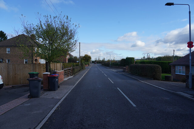
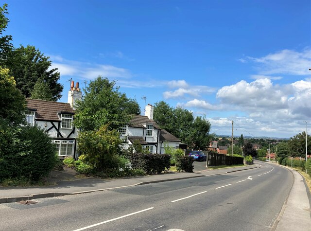
The village boasts a rich history, with evidence of settlement dating back to the Roman era. The name "Alma" is derived from the Old English word for "elm," a tree that was once abundant in the area. Today, the village maintains its traditional charm, with a mix of well-preserved historic buildings and newer residential developments.

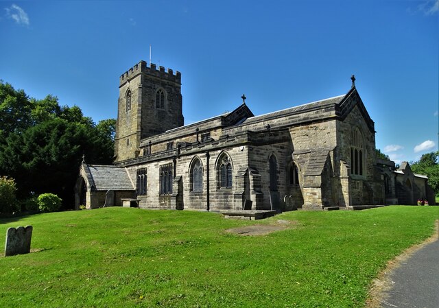
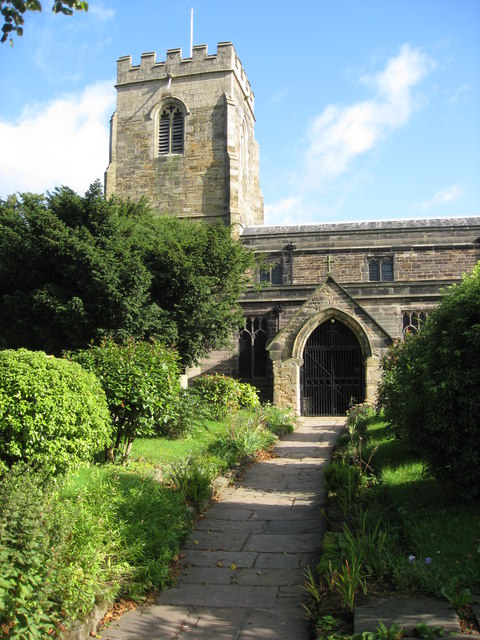
One of the notable landmarks in Alma is the St. Mary's Church, a beautiful medieval structure that serves as the spiritual center of the community. The church is renowned for its stunning architecture and hosts regular worship services and community events.

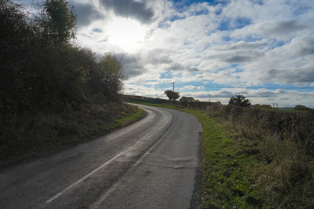
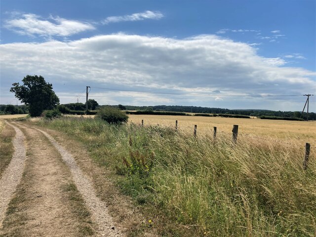
The village is also surrounded by lush green fields, making it a popular destination for nature enthusiasts. There are several walking and cycling trails that offer breathtaking views of the countryside. Additionally, the nearby River Trent provides opportunities for fishing and boating.

Although Alma is largely residential, it benefits from its close proximity to Nottingham, where residents can access a wide range of amenities including schools, shopping centers, and entertainment venues. The village also has a few local businesses, such as a post office and a small grocery store, catering to the immediate needs of its residents.

Overall, Alma, Nottinghamshire, offers a tranquil and picturesque village lifestyle while still providing convenient access to larger urban areas nearby.

If you have any feedback on the listing, please let us know in the comments section below.
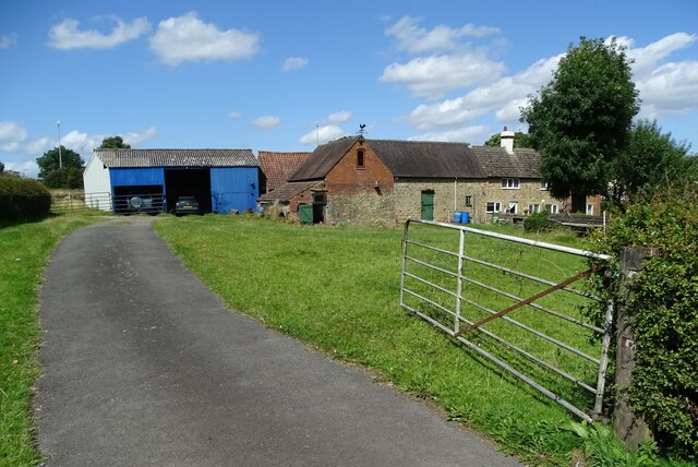
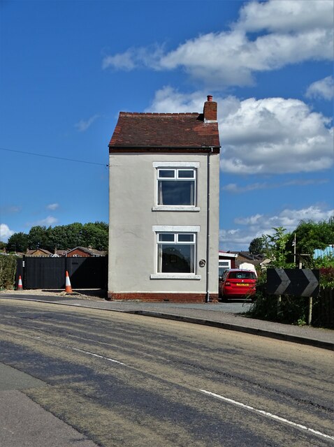
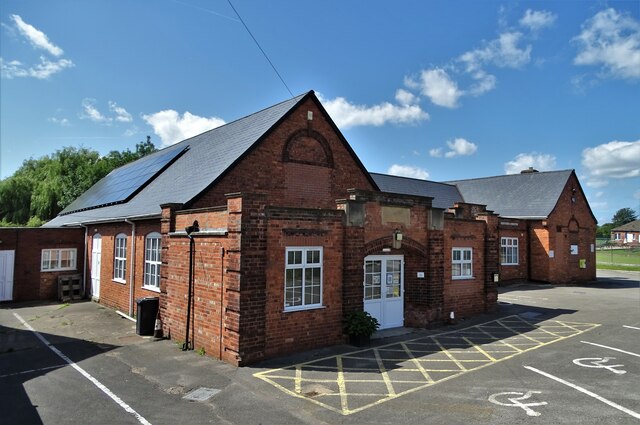
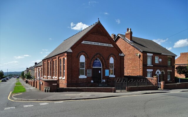
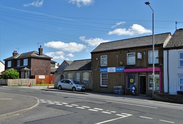
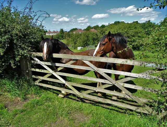
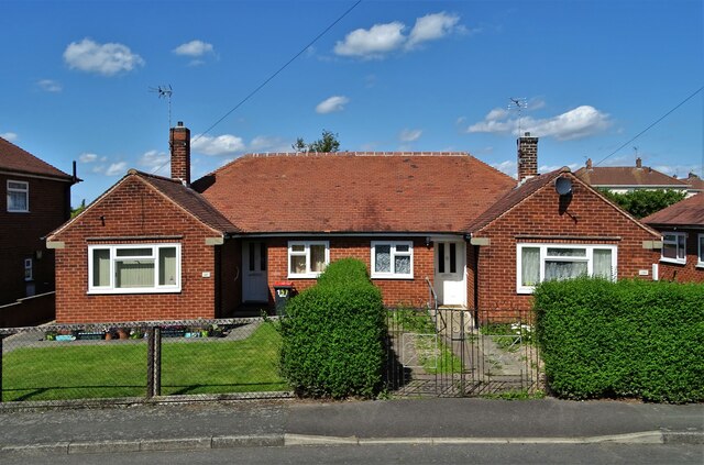
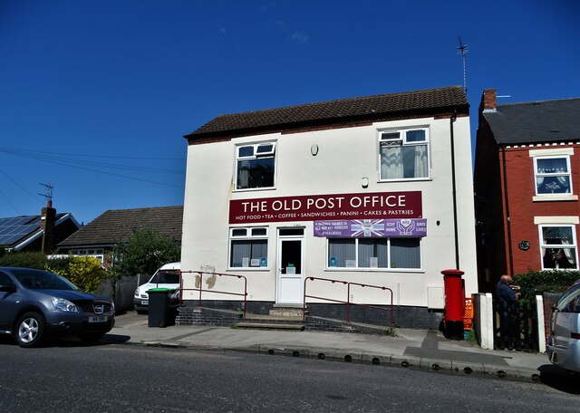
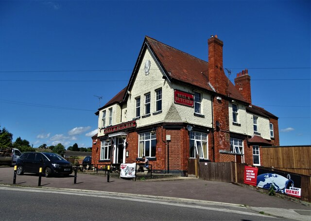
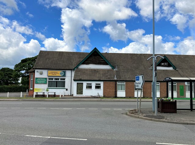
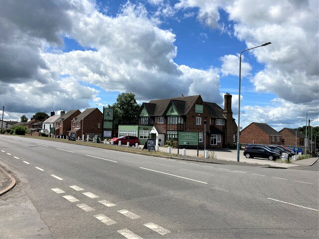
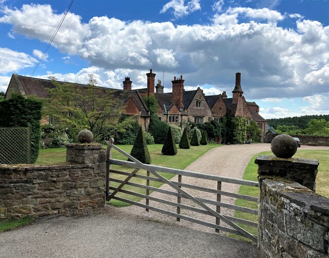
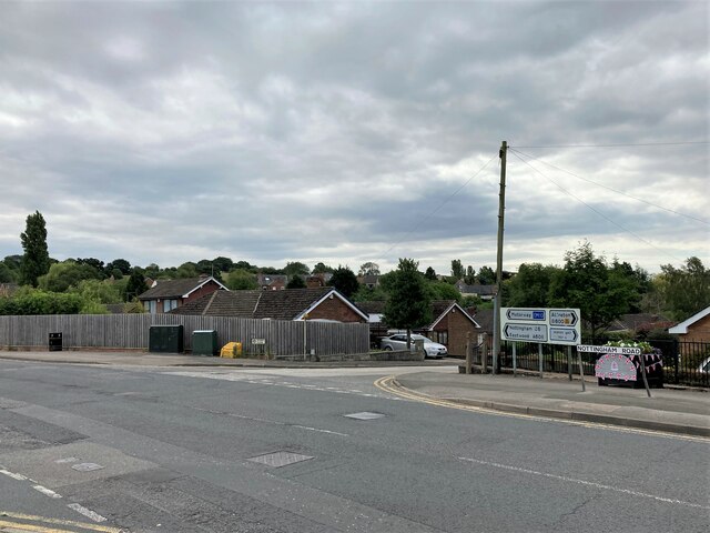
Alma Images

Images are sourced within 2km of 53.065401/-1.297823 or Grid Reference SK4752. Thanks to Geograph Open Source API. All images are credited.

Old farm on Mansfield Road, Selston
House on Mansfield Road, Selston
Selston Parish Hall on Mansfield Road
Christians Meeting House in Selston
Ken's Newsagents and Off Licence, Selston Oddly, this area of Selston is known as Skegness. It's a long way from the sea.
Ken's Newsagents and Off Licence, Selston
Oddly, this area of Selston is known as Skegness. It's a long way from the sea.
Horses at a gate, Nottingham Road, Selston Common
Semi-detached bungalows, Selston On Nottingham Road.
Semi-detached bungalows, Selston
On Nottingham Road.
"The Old Post Office" on Alfreton Road, Selston Now a cafe and takeaway.
"The Old Post Office" on Alfreton Road, Selston
Now a cafe and takeaway.
"The Bull and Butcher", Alfreton Road, Selston
St Helen's Church, Selston Green "The stone structure which now comprises St Helen’s church was started in the middle of the 12th century, and it seems to have been built in its entirety over a fairly short period of time. Several items within the church date from this early period of its history, including the Norman font and two carved stone slabs. It would seem that Selston was fairly wealthy at this stage, as in 1171 the parish was sending two shillings a year as a Pentecostal offering to Southwell, a high amount compared to other parishes in the area."
(Copied from Southwell and Nottingham Church History Project)
St Helen's Church, Selston Green
"The stone structure which now comprises St Helen’s church was started in the middle of the 12th century, and it seems to have been built in its entirety over a fairly short period of time. Several items within the church date from this early period of its history, including the Norman font and two carved stone slabs. It would seem that Selston was fairly wealthy at this stage, as in 1171 the parish was sending two shillings a year as a Pentecostal offering to Southwell, a high amount compared to other parishes in the area." (Copied from Southwell and Nottingham Church History Project)
Withallow Lane This lane is a minor road that runs back to Brinsley.
Withallow Lane
This lane is a minor road that runs back to Brinsley.
Main Road, Underwood One of many roads named Main Road, or Main Street in this area. Each village seems to have one.
Main Road, Underwood
One of many roads named Main Road, or Main Street in this area. Each village seems to have one.
Underwood Miners Welfare Club Social club and bus stop pictured from a busy road fork.
Underwood Miners Welfare Club
Social club and bus stop pictured from a busy road fork.
The Dog and Quayle Public House Pictured from a junction off the A608 Road on a fine afternoon in early July.
The Dog and Quayle Public House
Pictured from a junction off the A608 Road on a fine afternoon in early July.
Felley Priory Attractive historic building which still retains fragments of the original Augustinian priory layout. The site is noted for its gardens and cafe which was very welcoming on the day of my visit.
Felley Priory
Attractive historic building which still retains fragments of the original Augustinian priory layout. The site is noted for its gardens and cafe which was very welcoming on the day of my visit.
Road Junction in Selston Sperry Close can be seen here joining the larger and busier Nottingham Road.
Road Junction in Selston
Sperry Close can be seen here joining the larger and busier Nottingham Road.
Farm Track and Footpath close to the M1 Motorway Fields of barley are all that separate this rural view from the busy trunk road ahead.
Farm Track and Footpath close to the M1 Motorway
Fields of barley are all that separate this rural view from the busy trunk road ahead.
Period Dwellings at Annesley Lane End
Show me another place!

Alma is located at Grid Ref: SK4752 (Lat: 53.065401, Lng: -1.297823)

Administrative County: Nottinghamshire

District: Ashfield

Police Authority: Nottinghamshire

What 3 Words

///clearcut.fluffed.quitter. Near Pinxton, Derbyshire

Related Wikis

Selston

Selston is a large village and civil parish in the Ashfield District of Nottinghamshire, England. It is situated 12 miles (19.3 km) north-northwest of...

Selston F.C.

Selston F.C. is a football club based in Selston, Nottinghamshire. They are currently members of the United Counties League Division One and play at the...

Selston High School

Selston High School is a mixed secondary school that educates students aged 11–16. It is located in Selston, Nottinghamshire, England. The headteacher...

Church of St Michael and All Angels, Underwood

The Church of St Michael and All Angels, Underwood is a parish church in the Church of England in Underwood, Nottinghamshire. The church is Grade II listed...

Felley

Felley is a civil parish in the Ashfield district, in Nottinghamshire, England, located between Hucknall and Sutton-in-Ashfield. According to the 2001...

Felley Priory

Felley Priory is a 16th century house with gardens located in the village of Felley, Nottinghamshire, UK. It is situated on the grounds of a former priory...

St Helen's Church, Selston

St. Helen's Church, Selston is a parish church in the Church of England in Selston, Nottinghamshire. The church is Grade II* listed by the Department for...

Ashfield District

Ashfield () is a local government district in Nottinghamshire, England. The population of Ashfield was 127,200 in 2018. The district is mostly urban...

Nearby Amenities

Located within 500m of 53.065401,-1.297823
Bus Stop
Annesley Lane
Bench: yes
Bus: yes
Covered: yes
Naptan AtcoCode: 3300AS0100
Naptan Bearing: S
Naptan CommonName: Annesley Lane
Naptan Crossing: Annesley Lane
Naptan Indicator: adj
Naptan Landmark: The White Lion
Naptan NaptanCode: ntsdwgpm
Naptan Notes: none
Naptan Street: Nottingham Road
Naptan Verified: no
Operator: Trent Barton - R1
Public Transport: platform
Shelter: yes
Source: naptan_import
Lat/Long: 53.0682584/-1.2931626
Bus Stop
Annesley Lane
Bus: yes
Naptan AtcoCode: 3300AS0101
Naptan Bearing: NW
Naptan CommonName: Annesley Lane
Naptan Crossing: Annesley Lane
Naptan Indicator: opp
Naptan Landmark: The White Lion
Naptan NaptanCode: ntsdwgpt
Naptan Notes: none
Naptan Street: Nottingham Road
Naptan Verified: no
Public Transport: platform
Source: naptan_import
Lat/Long: 53.0689371/-1.2939127
Bus Stop
Nottingham Road
Bus: yes
Naptan AtcoCode: 3300AS0102
Naptan Bearing: N
Naptan CommonName: Nottingham Road
Naptan Indicator: N-bound
Naptan NaptanCode: ntsdtwtg
Naptan Notes: none
Naptan Street: Nottingham Road
Naptan Verified: no
Public Transport: platform
Source: naptan_import
Lat/Long: 53.0657828/-1.2925764
Bus Stop
Nottingham Road
Bus: yes
Naptan AtcoCode: 3300AS0103
Naptan Bearing: S
Naptan CommonName: Nottingham Road
Naptan Indicator: S-bound
Naptan NaptanCode: ntsdtwtj
Naptan Street: Nottingham Road
Naptan Verified: no
Public Transport: platform
Source: naptan_import
Lat/Long: 53.0650548/-1.2922105
Bench
Ele: 145.5241699
Lat/Long: 53.0691797/-1.2938798
Pub
White Lion
Addr Country: GB
Addr Housenumber: 240
Addr Postcode: NG16 6AD
Addr Street: Nottingham Road
Ele: 146
Fhrs Id: 73586
Parking: yes
Source Addr: Food Hygiene Open Data
Lat/Long: 53.0689348/-1.2940515
Bench
Ele: 136.1513672
Lat/Long: 53.065865/-1.2925995
Bench
Ele: 127.9802246
Lat/Long: 53.0642292/-1.2920961
Power: tower
Source: Bing
Lat/Long: 53.0612988/-1.2971858
Bench
Ele: 120.0000000
Lat/Long: 53.066104/-1.3019973
Ele: 116.0000000
Lat/Long: 53.0660954/-1.3019749
Ele: 117.0000000
Lat/Long: 53.0660154/-1.3020523
Barrier: stile
Ele: 114.0000000
Steps: 1
Stile: stepover
Lat/Long: 53.0645604/-1.3021417
Ele: 120.0000000
Lat/Long: 53.0664578/-1.302022
Ele: 117.0000000
Lat/Long: 53.0671637/-1.3020818
Ele: 116.0000000
Lat/Long: 53.0672404/-1.3021601
Ele: 133.0000000
Lat/Long: 53.0646947/-1.2976976
Ele: 137.0000000
Lat/Long: 53.0654996/-1.2968223
Ele: 136.0000000
Lat/Long: 53.0651331/-1.2966976
Ele: 139.0000000
Lat/Long: 53.0655119/-1.296703
Barrier: stile
Ele: 136.0000000
Steps: 2
Stile: stepover
Lat/Long: 53.0665466/-1.2955416
Ele: 136.0000000
Lat/Long: 53.0665482/-1.2955845
Barrier: stile
Ele: 139.0000000
Steps: 2
Stile: stepover
Lat/Long: 53.0674181/-1.2946881
Bench
Ele: 139.0000000
Lat/Long: 53.0693154/-1.2945626
Barrier: stile
Steps: 1
Stile: stepover
Lat/Long: 53.061086/-1.2968179
Fixme: It's up this track somewhere?
Shop: farm
Lat/Long: 53.067546/-1.291441
Power: pole
Lat/Long: 53.0624098/-1.3020811
Power: pole
Lat/Long: 53.0627459/-1.3011974
Power: pole
Lat/Long: 53.0632495/-1.2999935
Power: pole
Lat/Long: 53.0635019/-1.2993219
Power: pole
Lat/Long: 53.0641066/-1.2977958
Power: pole
Lat/Long: 53.0646451/-1.2964027
Power: pole
Lat/Long: 53.0651074/-1.2952529
Power: pole
Lat/Long: 53.0656059/-1.2940053
Power: pole
Lat/Long: 53.0659434/-1.2917983
Power: pole
Lat/Long: 53.0660628/-1.2908444
Generator Method: photovoltaic
Generator Output Electricity: yes
Generator Source: solar
Generator Type: solar_photovoltaic_panel
Location: roof
Power: generator
Lat/Long: 53.066525/-1.3001994
Generator Method: photovoltaic
Generator Output Electricity: yes
Generator Source: solar
Generator Type: solar_photovoltaic_panel
Location: roof
Power: generator
Lat/Long: 53.0665282/-1.2998771
Generator Method: photovoltaic
Generator Output Electricity: yes
Generator Source: solar
Generator Type: solar_photovoltaic_panel
Location: roof
Power: generator
Lat/Long: 53.0659437/-1.2998456
Generator Method: photovoltaic
Generator Output Electricity: yes
Generator Source: solar
Generator Type: solar_photovoltaic_panel
Location: roof
Power: generator
Lat/Long: 53.0659414/-1.2996563
Generator Method: photovoltaic
Generator Output Electricity: yes
Generator Source: solar
Generator Type: solar_photovoltaic_panel
Location: roof
Power: generator
Lat/Long: 53.0659477/-1.2995249
Generator Method: photovoltaic
Generator Output Electricity: yes
Generator Source: solar
Generator Type: solar_photovoltaic_panel
Location: roof
Power: generator
Lat/Long: 53.0659189/-1.3009271
Generator Method: photovoltaic
Generator Output Electricity: yes
Generator Source: solar
Generator Type: solar_photovoltaic_panel
Location: roof
Power: generator
Lat/Long: 53.0649175/-1.2985228
Generator Method: photovoltaic
Generator Output Electricity: yes
Generator Source: solar
Generator Type: solar_photovoltaic_panel
Location: roof
Power: generator
Lat/Long: 53.0665142/-1.2996762
Generator Method: photovoltaic
Generator Output Electricity: yes
Generator Source: solar
Generator Type: solar_photovoltaic_panel
Location: roof
Power: generator
Lat/Long: 53.0654214/-1.2999865
Generator Method: photovoltaic
Generator Output Electricity: yes
Generator Source: solar
Generator Type: solar_photovoltaic_panel
Location: roof
Power: generator
Lat/Long: 53.0683773/-1.3026387
Generator Method: photovoltaic
Generator Output Electricity: yes
Generator Source: solar
Generator Type: solar_photovoltaic_panel
Location: roof
Power: generator
Lat/Long: 53.0648803/-1.2926345
The data included in this document is from www.openstreetmap.org. The data is made available under ODbL.

Have you been to Alma?

Leave your review of Alma below (or comments, questions and feedback).