Caermeini
Settlement in Pembrokeshire
Wales
Caermeini

The requested URL returned error: 429 Too Many Requests
If you have any feedback on the listing, please let us know in the comments section below.
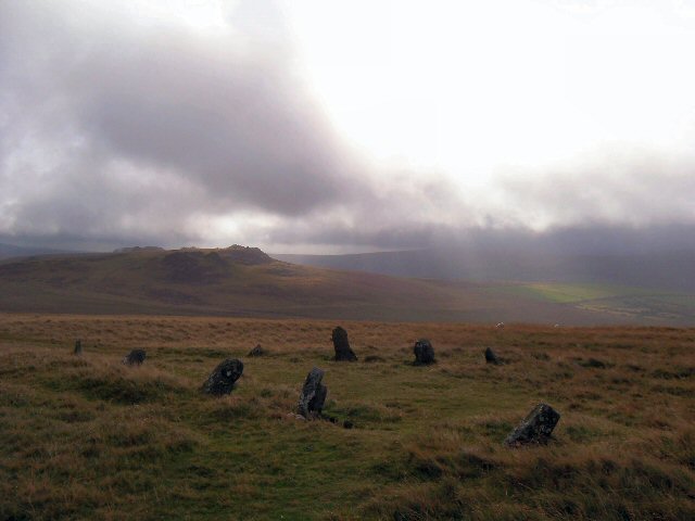
Caermeini Images
Images are sourced within 2km of 51.946318/-4.7077084 or Grid Reference SN1431. Thanks to Geograph Open Source API. All images are credited.


Caermeini is located at Grid Ref: SN1431 (Lat: 51.946318, Lng: -4.7077084)
Unitary Authority: Pembrokeshire
Police Authority: Dyfed Powys
What 3 Words
///ally.likewise.intention. Near Crymych, Pembrokeshire
Nearby Locations
Related Wikis

Mynachlog-ddu
Mynachlog-ddu (SN143306) is a village, parish and community in the Preseli Hills, Pembrokeshire, Wales. The community includes the parish of Llangolman...

Carn Menyn
Carn Menyn is a grouping of craggy rock outcrops or tors in the Preseli Hills in the Welsh county of Pembrokeshire. == Name and location == The name means...
Bedd Arthur
Bedd Arthur ("Arthur's Grave") is a possibly Neolithic hengiform monument megalithic site in the Preseli Hills in the Welsh county of Pembrokeshire. Thirteen...

Gweunydd Blaencleddau
Gweunydd Blaencleddau is a large wetland complex in a shallow south-west valley around the headwaters of the Eastern Cleddau river. It is a Site of Special...
Nearby Amenities
Located within 500m of 51.946318,-4.7077084Have you been to Caermeini?
Leave your review of Caermeini below (or comments, questions and feedback).