Coed Bedw
Wood, Forest in Monmouthshire
Wales
Coed Bedw
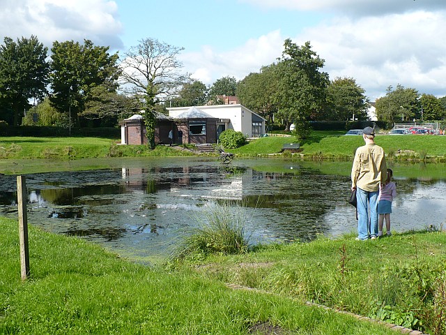
Coed Bedw, located in Monmouthshire, Wales, is a picturesque woodland area that spans over several acres. The name itself translates to "Wood" or "Forest" in Welsh, which aptly describes the natural beauty found within its boundaries. This woodland gem offers a tranquil escape from the hustle and bustle of everyday life.
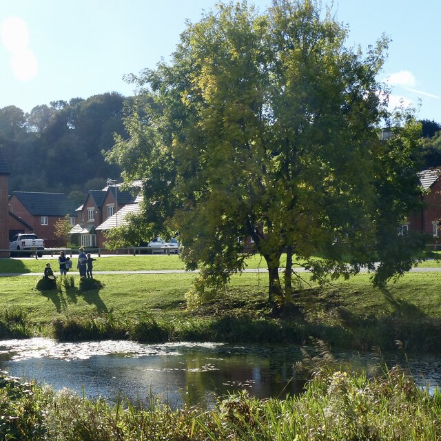
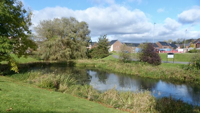
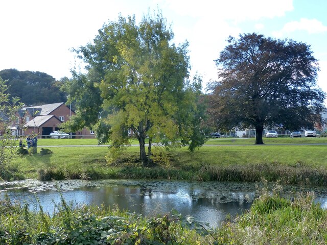
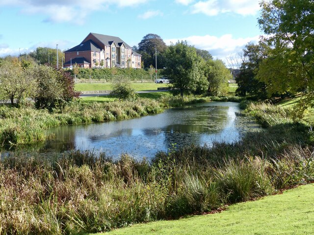
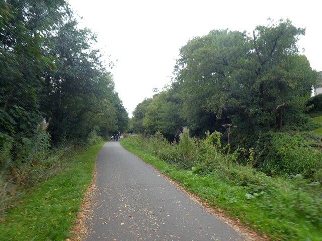
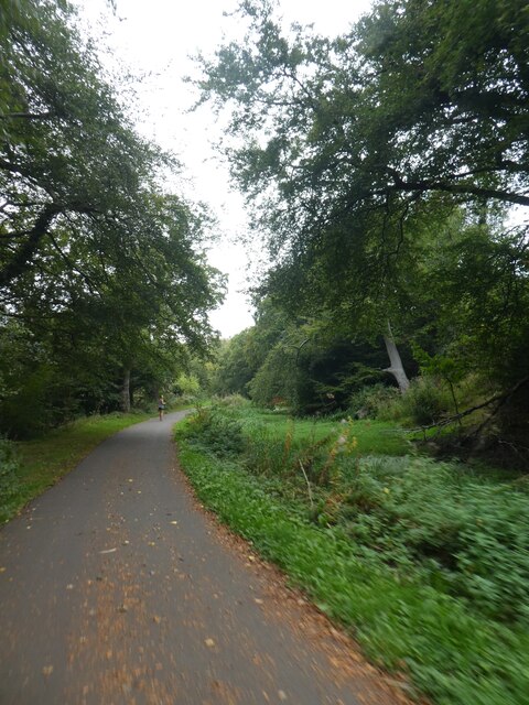
The landscape of Coed Bedw is characterized by dense clusters of trees, creating a lush and green canopy. The forest is home to a variety of tree species, including oak, beech, and ash, which provide a habitat for numerous wildlife species. Visitors to Coed Bedw have the opportunity to observe wildlife such as deer, squirrels, and a plethora of bird species in their natural habitat.
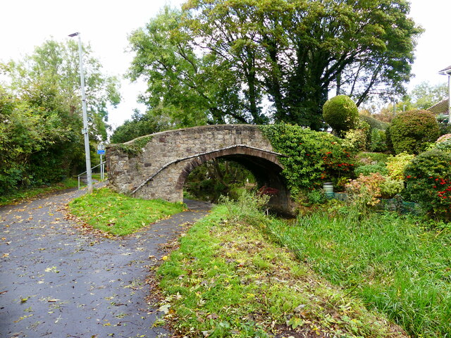
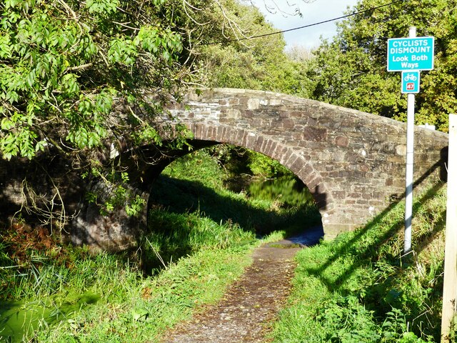
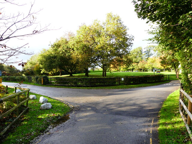
The forest boasts a network of well-maintained walking trails, allowing visitors to explore its captivating beauty at their own pace. These trails vary in length and difficulty, catering to both casual strollers and avid hikers. Nature enthusiasts will be delighted by the diverse flora and fauna that can be found along the way.
Coed Bedw also offers the perfect setting for outdoor activities such as picnicking, photography, and nature study. Its serene atmosphere provides a soothing backdrop for those seeking peace and tranquility. Additionally, the forest is a popular spot for nature education programs and guided walks, allowing visitors to learn more about the local ecosystem and its conservation efforts.
Overall, Coed Bedw in Monmouthshire is a haven for nature lovers and outdoor enthusiasts alike. Its verdant landscape, abundant wildlife, and well-maintained trails make it a must-visit destination for anyone seeking a serene and immersive woodland experience.
If you have any feedback on the listing, please let us know in the comments section below.
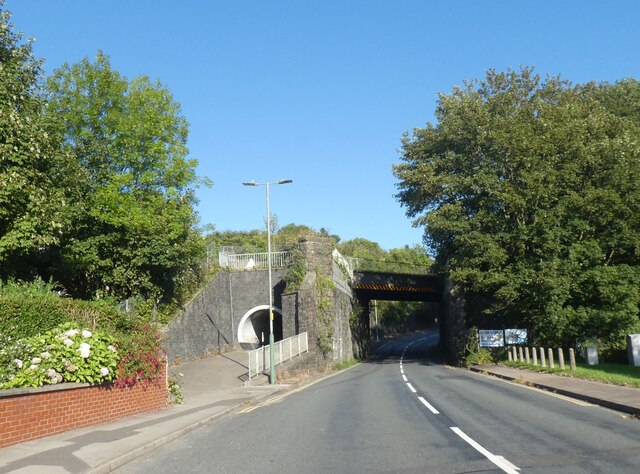
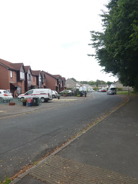
Coed Bedw Images
Images are sourced within 2km of 51.58868/-3.0717909 or Grid Reference ST2588. Thanks to Geograph Open Source API. All images are credited.


Coed Bedw is located at Grid Ref: ST2588 (Lat: 51.58868, Lng: -3.0717909)
Unitary Authority: Newport
Police Authority: Gwent
What 3 Words
///curious.advancing.engrossed. Near Risca, Caerphilly
Nearby Locations
Related Wikis

Newport West (Senedd constituency)
Newport West (Welsh: Gorllewin Casnewydd) is a constituency of the Senedd. It elects one Member of the Senedd by the first past the post method of election...
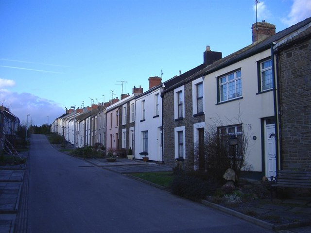
Rhiwderin
Rhiwderin (Welsh: Rhiwderyn) is a small village in the west of the city of Newport, South Wales. It lies in the community parish and electoral district...
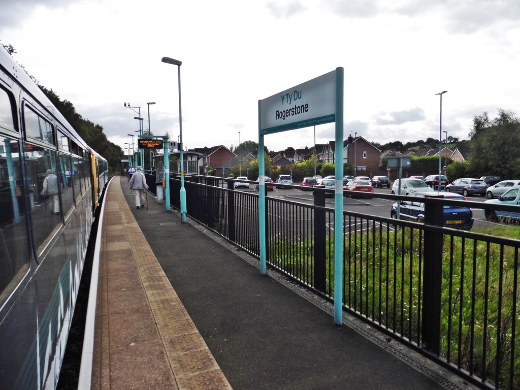
Rogerstone railway station
Rogerstone railway station (Welsh: Tŷ-du) is a station on the Ebbw Valley Railway in the community of Rogerstone in Newport, south Wales. The station is...
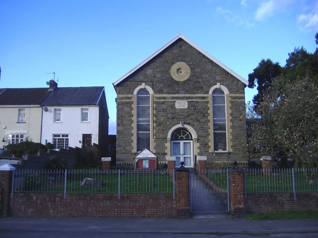
Rhiwderin Congregational Chapel
Rhiwderin Congregational Chapel is a Nonconformist chapel in Rhiwderin, Newport, Wales. The chapel was founded in 1872, originally meeting in a stable...
Rhiwderin railway station
Rhiwderin railway station served the Welsh village of Rhiwderin near Newport, Wales. == History and description == The station had two platforms with a...
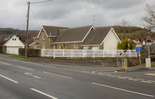
Rogerstone
Rogerstone (Welsh: Tŷ du, meaning "Black house") is a large village and community (parish) in Newport, Wales. The area is governed by Newport City Council...

Graig, Newport
Graig is an electoral ward and coterminous community (parish) of the city of Newport, South Wales. The ward is bounded by the Ebbw River and M4 motorway...
Welsh Oak
The Welsh Oak is a pub located in Pontymister, Caerphilly County Borough, Wales. In recent years, due to a decline in trade, the pub has ceased trading...
Nearby Amenities
Located within 500m of 51.58868,-3.0717909Have you been to Coed Bedw?
Leave your review of Coed Bedw below (or comments, questions and feedback).