Carnau British Wood
Wood, Forest in Monmouthshire
Wales
Carnau British Wood

Carnau British Wood, located in Monmouthshire, is a captivating forest that spans over a vast area of land. With its enchanting beauty and diverse wildlife, it attracts nature enthusiasts and outdoor adventurers alike. The wood is situated in the heart of the stunning Wye Valley Area of Outstanding Natural Beauty.
This woodland offers a tranquil and serene atmosphere, making it an ideal place for those seeking solitude or a peaceful retreat. It is characterized by its dense canopy of deciduous and coniferous trees, providing a rich habitat for a variety of flora and fauna. The forest floor is carpeted with a tapestry of vibrant wildflowers, creating a picturesque landscape.
Carnau British Wood is home to numerous animal species, including deer, foxes, badgers, and a wide variety of bird species. Birdwatchers can marvel at the sight of rare and endangered birds, such as the red kite and peregrine falcon, soaring through the treetops.
Visitors can explore the wood through a network of well-maintained footpaths and trails that wind their way through the forest, offering breathtaking views of the surrounding countryside. These paths cater to both casual strollers and avid hikers, with routes of varying difficulty levels.
Nature lovers will find ample opportunities for wildlife spotting, photography, and simply immersing themselves in the beauty of the natural world. The wood also offers picnic spots and designated camping areas for those who wish to spend more time in this idyllic setting.
Overall, Carnau British Wood is a haven of tranquility and biodiversity, providing a rich and rewarding experience for nature enthusiasts in Monmouthshire.
If you have any feedback on the listing, please let us know in the comments section below.
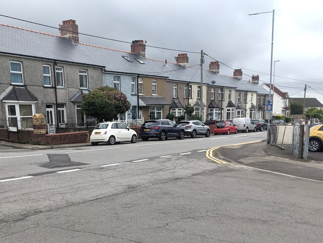
Carnau British Wood Images
Images are sourced within 2km of 51.739075/-3.0881347 or Grid Reference SO2405. Thanks to Geograph Open Source API. All images are credited.


Carnau British Wood is located at Grid Ref: SO2405 (Lat: 51.739075, Lng: -3.0881347)
Unitary Authority: Torfaen
Police Authority: Gwent
What 3 Words
///division.flamenco.instant. Near Abertillery, Blaenau Gwent
Nearby Locations
Related Wikis

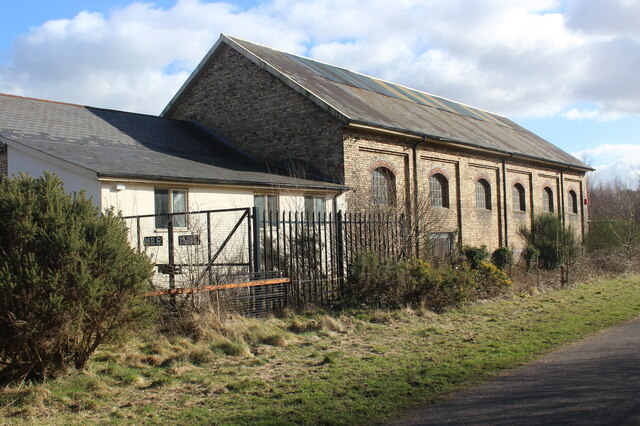
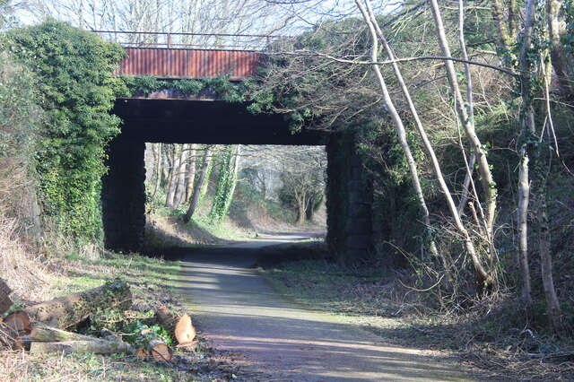
Abersychan and Talywain railway station
Abersychan and Talywain station served the town of Abersychan in the Welsh county of Monmouthshire. The station was the meeting point for two major pre...
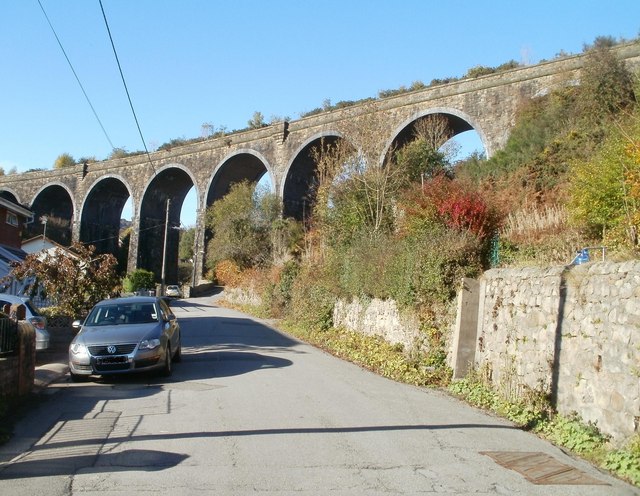
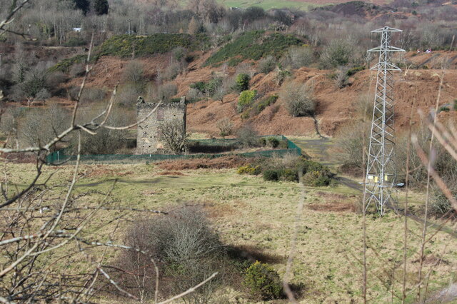
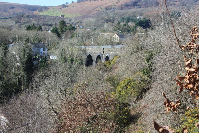
Garndiffaith Viaduct
Garndiffaith Viaduct is a largely stone-built railway viaduct that formerly carried the former Brynmawr and Blaenavon Railway over the valley of the Avon...

Garndiffaith
Garndiffaith is a village located in Torfaen, south east Wales. It is a small rural area situated between Talywain and Varteg, three miles north of the...
Talywain
Talywain (Welsh: Talywaun) is situated in Garndiffaith, Abersychan and Pentwyn in Torfaen in south east Wales, within the historic boundaries of Monmouthshire...

Dog Stone, Mynydd Varteg
The Dog Stone (or Pillar Stone), on Mynydd Farteg, a subsidiary top of Coity Mountain, near the village of Abersychan, Torfaen, Wales, is a memorial, dating...
Varteg
Varteg is a village in the county borough of Torfaen in Wales. == Location == It lies near Abersychan on the hills above the valley of the Afon Llwyd,...
Varteg railway station
Varteg railway station was a railway station which served the village of Varteg, in the county of Monmouthshire, on the Brynmawr and Blaenavon Railway...
Garndiffaith railway station
Garndiffaith railway station (Six Bells) served the village of Garndiffaith, located in Torfaen, south east Wales. Build by the London and North Western...
Have you been to Carnau British Wood?
Leave your review of Carnau British Wood below (or comments, questions and feedback).