Coed Mawr
Wood, Forest in Monmouthshire
Wales
Coed Mawr
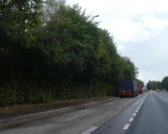
Coed Mawr is a picturesque woodland located in Monmouthshire, Wales. Situated in the heart of the county, it covers an area of approximately 500 acres and is known for its natural beauty and tranquil atmosphere. The name "Coed Mawr" translates to "big wood" in Welsh, which aptly describes the vastness and expanse of this forested area.
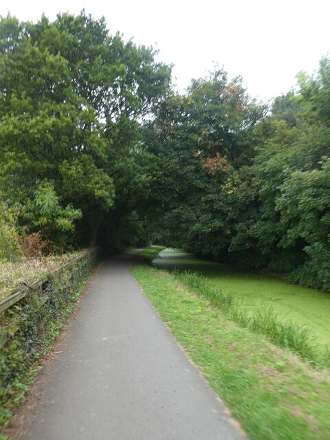
The woodland is a diverse ecosystem, comprising of a variety of tree species such as oak, beech, and birch. These trees create a dense canopy, providing shade and shelter for a range of wildlife. The forest floor is carpeted with a rich layer of moss, ferns, and wildflowers, adding to its enchanting appeal.
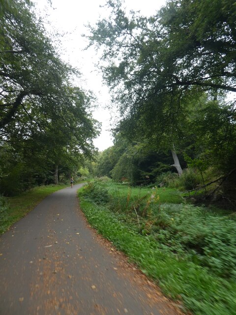
Coed Mawr offers an idyllic retreat for nature enthusiasts and outdoor enthusiasts alike. There are several walking trails and pathways that wind through the forest, allowing visitors to explore its hidden treasures. These trails vary in length and difficulty, catering to all levels of fitness and age groups.
Birdwatchers will be delighted by the diverse avian population that calls Coed Mawr home. Species such as woodpeckers, tits, and thrushes can be spotted flitting among the trees, while owls can be heard hooting at dusk.
Coed Mawr is not only a haven for wildlife but also a place of historical significance. The forest was once part of a larger estate and has remnants of old stone walls and ruins scattered throughout. These relics serve as a reminder of the area's rich past and add a touch of intrigue to the woodland landscape.
Overall, Coed Mawr is a captivating destination for those seeking a peaceful and immersive experience in the heart of nature.
If you have any feedback on the listing, please let us know in the comments section below.
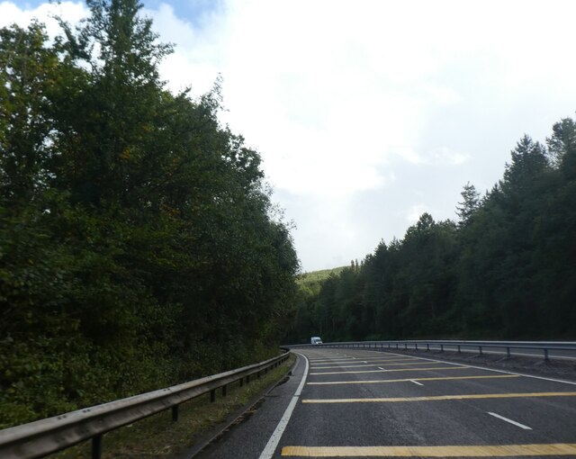
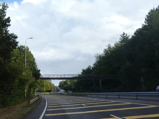
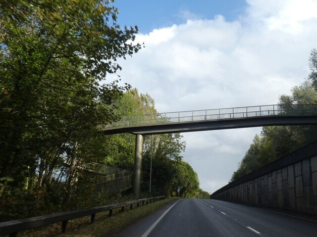
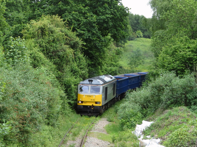
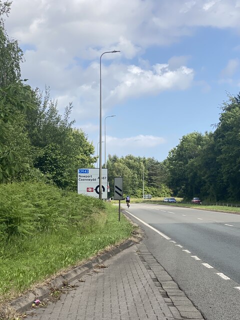
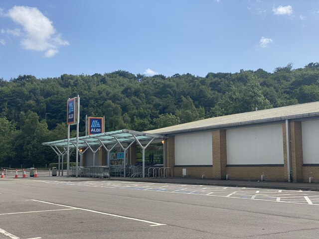
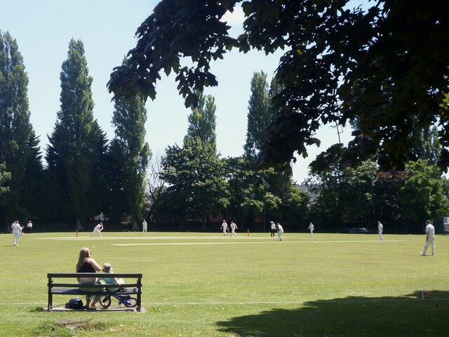
Coed Mawr Images
Images are sourced within 2km of 51.594105/-3.0880586 or Grid Reference ST2488. Thanks to Geograph Open Source API. All images are credited.
Coed Mawr is located at Grid Ref: ST2488 (Lat: 51.594105, Lng: -3.0880586)
Unitary Authority: Newport
Police Authority: Gwent
What 3 Words
///scoping.committed.dissolves. Near Risca, Caerphilly
Nearby Locations
Related Wikis

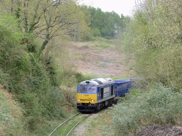
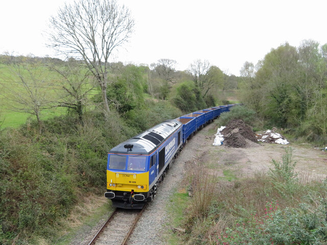
Tynycwm Halt railway station
Tynycwm Halt railway station served the town of Risca, Monmouthshire, Wales, from 1935 to 1962 on the Monmouthshire Railway. == History == The station...
Pontymister
Pontymister (Welsh:Pont-y-meistr) is a small village in Caerphilly county borough in Wales. == Location == Pontymister is attached to its neighbour, the...
Panteg A.F.C.
Panteg AFC is a Welsh football club located in Griffithstown, Pontypool, Torfaen, South Wales. The club was founded in 1935 and currently runs two senior...

Risca and Pontymister railway station
Risca and Pontymister railway station (Welsh: Rhisga a Phont-y-meistr) is a station on the Ebbw Valley Railway in south-east Wales. It serves the village...
Welsh Oak
The Welsh Oak is a pub located in Pontymister, Caerphilly County Borough, Wales. In recent years, due to a decline in trade, the pub has ceased trading...
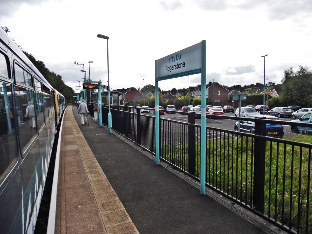
Rogerstone railway station
Rogerstone railway station (Welsh: Tŷ-du) is a station on the Ebbw Valley Railway in the community of Rogerstone in Newport, south Wales. The station is...
Risca
Risca (Welsh: Rhisga) is a town in the Caerphilly County Borough and the historic boundaries of Monmouthshire in south-east Wales. Risca has a railway...

Church Road (B&MJR) railway station
Church Road railway station served the hamlet of Lower Machen in Newport, Wales. == History and description == The station had two platforms. There was...
Nearby Amenities
Located within 500m of 51.594105,-3.0880586Have you been to Coed Mawr?
Leave your review of Coed Mawr below (or comments, questions and feedback).