Common Wood

Wood, Forest in Radnorshire

Wales

Common Wood

Sheep on Hergest Ridge In the middle distance to the right, Offa's Dyke Path can be seen cutting its way through the bracken. In the distance, the Black Mountains and Brecon Beacons.
Sheep on Hergest Ridge Credit: Oliver Dixon

Common Wood is a picturesque woodland located in the county of Radnorshire, Wales. Spread across an area of approximately 500 acres, this enchanting forest is a haven for nature enthusiasts and outdoor adventurers alike.

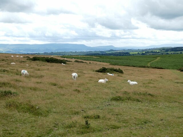
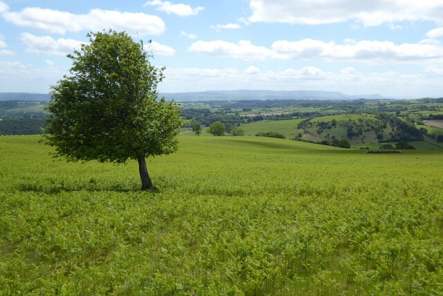
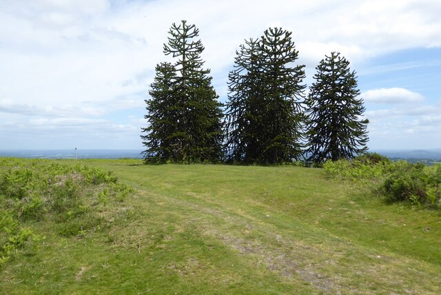
The wood is predominantly composed of deciduous trees such as oak, beech, and birch, creating a stunning tapestry of colors throughout the seasons. These towering trees provide a dense canopy, offering shade and shelter for a diverse range of wildlife species.

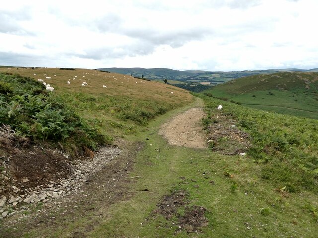
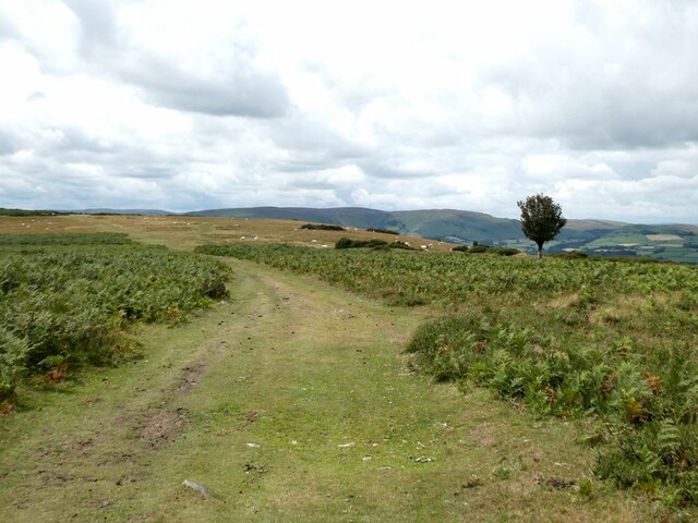
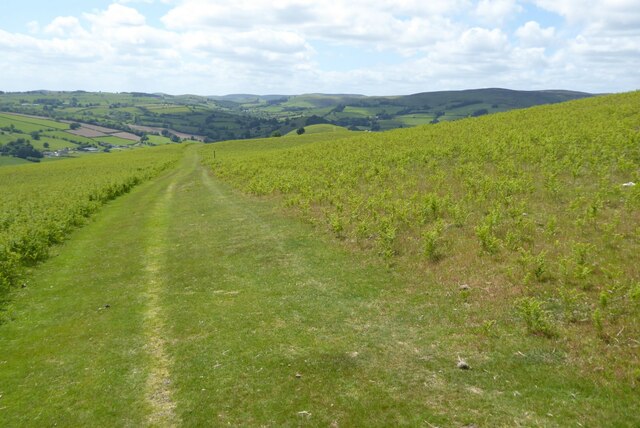
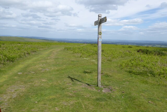
Visitors to Common Wood can explore a network of well-maintained paths and trails that wind through the woodland, allowing for leisurely walks and hikes. The tranquil atmosphere invites individuals to immerse themselves in nature, offering a peaceful retreat from the hustle and bustle of everyday life.

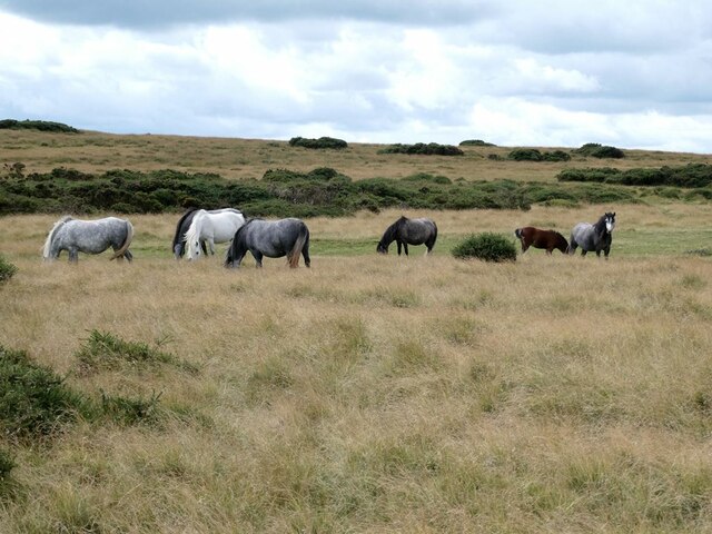
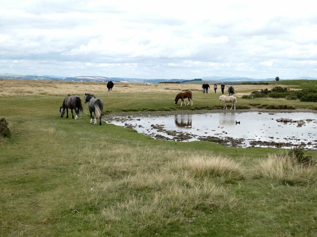
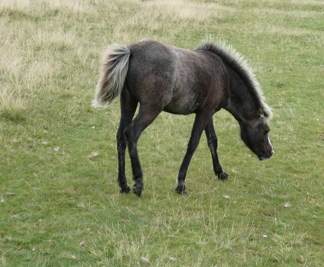
The wood is home to a rich array of flora and fauna, with various species of wildflowers, ferns, and mosses carpeting the forest floor. Birdwatchers will be delighted by the presence of woodland birds such as woodpeckers, owls, and tits, while lucky observers may even spot elusive mammals like deer, foxes, and badgers.

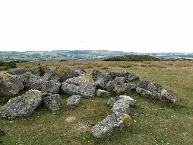
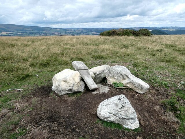
Common Wood is not only a place of natural beauty but also holds historical significance. The ancient remains of charcoal platforms and saw pits can still be found, serving as a reminder of the area's past use for timber production.

With its stunning scenery and abundant wildlife, Common Wood in Radnorshire is a true gem for those seeking solace in nature and an opportunity to appreciate the wonders of the natural world.

If you have any feedback on the listing, please let us know in the comments section below.
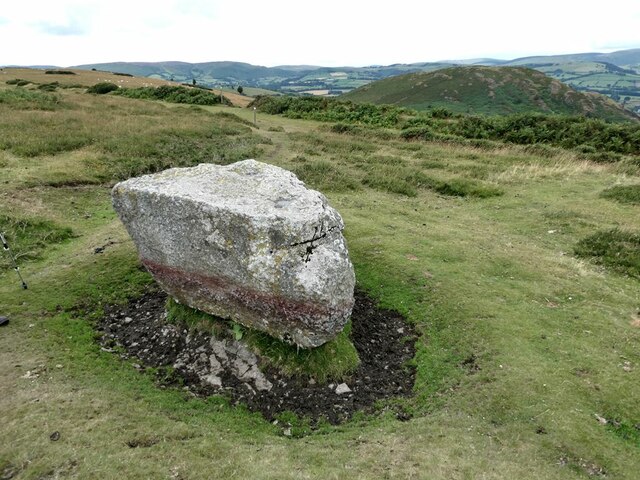
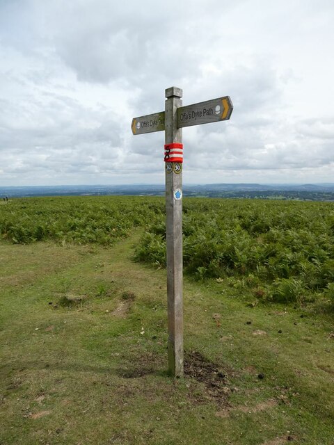
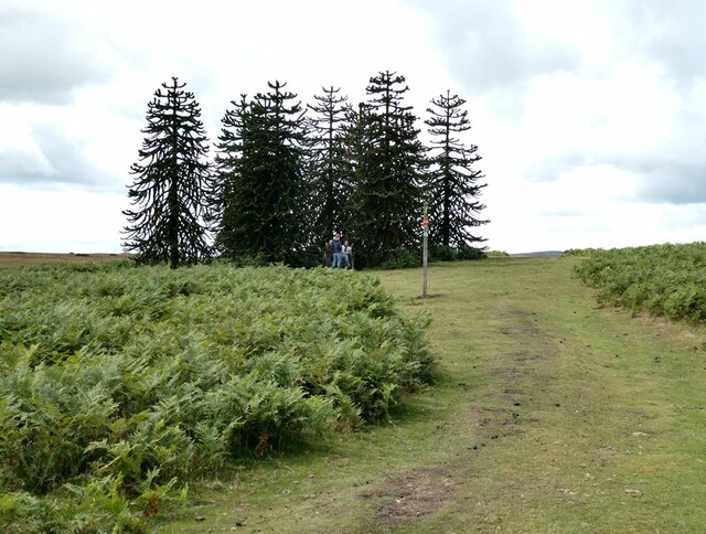
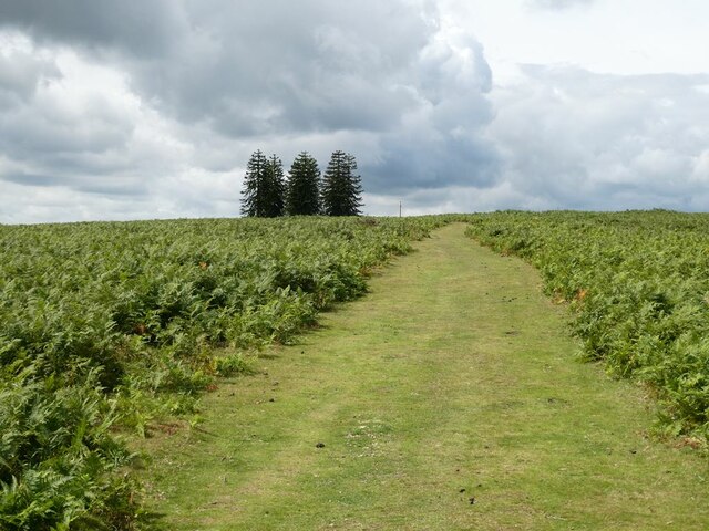
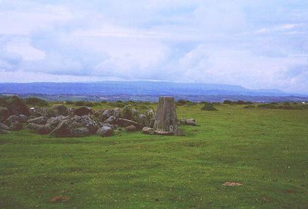
Common Wood Images

Images are sourced within 2km of 52.20507/-3.1100211 or Grid Reference SO2456. Thanks to Geograph Open Source API. All images are credited.

Sheep on Hergest Ridge In the middle distance to the right, Offa's Dyke Path can be seen cutting its way through the bracken. In the distance, the Black Mountains and Brecon Beacons.
Sheep on Hergest Ridge
In the middle distance to the right, Offa's Dyke Path can be seen cutting its way through the bracken. In the distance, the Black Mountains and Brecon Beacons.
Rocks on Hergest Ridge Cluster of rocks on the very highest point of Hergest Ridge (426 metres). The summit of Hanter Hill (<a href="https://www.geograph.org.uk/gridref/SO2557">SO2557</a>) can be seen in the middle distance.
Rocks on Hergest Ridge
Cluster of rocks on the very highest point of Hergest Ridge (426 metres). The summit of Hanter Hill (SO2557) can be seen in the middle distance.
Horses on Hergest Ridge
Horses by pond on Hergest Ridge
Foal on Hergest Ridge One of a herd of horses grazing the open land of Hergest Ridge Common.
Foal on Hergest Ridge
One of a herd of horses grazing the open land of Hergest Ridge Common.
Stones on Hergest Ridge One appears to be a marker post of some sort.
Stones on Hergest Ridge
One appears to be a marker post of some sort.
Path off Hregest Ridge Leading to the col between the ridge and Hanter Hill (<a href="https://www.geograph.org.uk/gridref/SO2557">SO2557</a>) to the north.
Path off Hregest Ridge
Leading to the col between the ridge and Hanter Hill (SO2557) to the north.
Offa's Dyke Path on Hergest Ridge A broad grassy swathe through the bracken.
Offa's Dyke Path on Hergest Ridge
A broad grassy swathe through the bracken.
The Whetstone on Hergest Ridge Hanter Hill (<a href="https://www.geograph.org.uk/gridref/SO2557">SO2557</a>) in the middle distance.
The Whetstone on Hergest Ridge
Hanter Hill (SO2557) in the middle distance.
Signpost on Hergest Ridge The red and white collar commemorates the 50th anniversary of the Offa's Dyke Path in 2021.
Signpost on Hergest Ridge
The red and white collar commemorates the 50th anniversary of the Offa's Dyke Path in 2021.
Trees on Hergest Ridge A most incongruous clump of Monkey Puzzle trees on the highest point of the old racecourse on Hergest Ridge. The signpost indicates the way on Offa's Dyke Path.
Trees on Hergest Ridge
A most incongruous clump of Monkey Puzzle trees on the highest point of the old racecourse on Hergest Ridge. The signpost indicates the way on Offa's Dyke Path.
Offa's Dyke Path on Hergest Ridge On the skyline, a most incongruous clump of Monkey Puzzle trees on the highest point of the old racecourse on Hergest Ridge.
Offa's Dyke Path on Hergest Ridge
On the skyline, a most incongruous clump of Monkey Puzzle trees on the highest point of the old racecourse on Hergest Ridge.
Offa's Dyke Path on Hergest Ridge View to the west from Offa's Dyke Path as it ascents Hergest Ridge from Gladestry.
Offa's Dyke Path on Hergest Ridge
View to the west from Offa's Dyke Path as it ascents Hergest Ridge from Gladestry.
View to the Black Mountains View of the Black Mountains from Offa's Dyke Path on Hergest Ridge.
View to the Black Mountains
View of the Black Mountains from Offa's Dyke Path on Hergest Ridge.
Monkey Puzzle trees on Hergest Ridge These Chilean pine or monkey puzzle trees are an unexpected sight near the summit of Hergest Ridge.
Monkey Puzzle trees on Hergest Ridge
These Chilean pine or monkey puzzle trees are an unexpected sight near the summit of Hergest Ridge.
Footpath sign on Hergest Ridge Footpath indicating the route of Offa's Dyke Path as it crosses Hergest Ridge.
Footpath sign on Hergest Ridge
Footpath indicating the route of Offa's Dyke Path as it crosses Hergest Ridge.
Walking Offa's Dyke Walking Offa's Dyke Path across Hergest Ridge, with the view to the east of England.
Walking Offa's Dyke
Walking Offa's Dyke Path across Hergest Ridge, with the view to the east of England.
View to Glasdestry church You can see the village, and parish church of St Mary.
View to Glasdestry church
You can see the village, and parish church of St Mary.
Show me another place!

Common Wood is located at Grid Ref: SO2456 (Lat: 52.20507, Lng: -3.1100211)

Unitary Authority: Powys

Police Authority: Dyfed Powys

What 3 Words

///thirsty.eggplants.loving. Near Kington, Herefordshire

Related Wikis

Dolyhir

Dolyhir is a small settlement in Powys, Wales. It is near the A44 road and is 30 kilometres (19 mi) northwest of the city of Hereford. Dolyhir railway...

Dolyhir railway station

Dolyhir railway station was a station in Dolyhir, Powys, Wales. The station opened in 1875 and closed in 1951. The station building survives today, and...

Hergest Ridge

Hergest Ridge is a large elongated hill which traverses the border between England and Wales in the United Kingdom, between the town of Kington in Herefordshire...

Stanner Halt railway station

Stanner railway station was a station in Stanner, Powys, Wales. The station was opened by the Kington and Eardisley Railway in 1875. == References... ==

Nearby Amenities

Located within 500m of 52.20507,-3.1100211
Weythel Common
Fixme: Needs to have boundaries of common added.
Leisure: common
Lat/Long: 52.2060005/-3.1138365
Power: pole
Lat/Long: 52.2072467/-3.1056386
Power: pole
Lat/Long: 52.2067651/-3.1066391
Power: pole
Lat/Long: 52.2078762/-3.1047615
Power: pole
Lat/Long: 52.2083644/-3.1061965
The data included in this document is from www.openstreetmap.org. The data is made available under ODbL.

Have you been to Common Wood?

Leave your review of Common Wood below (or comments, questions and feedback).