Eglwyseg Plantation
Wood, Forest in Denbighshire
Wales
Eglwyseg Plantation

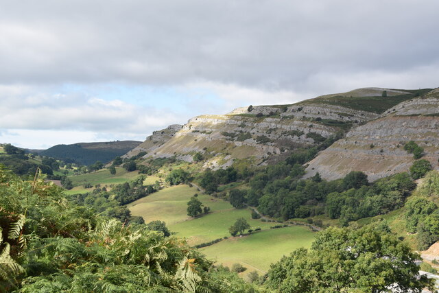
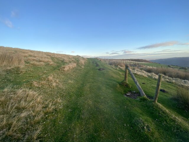
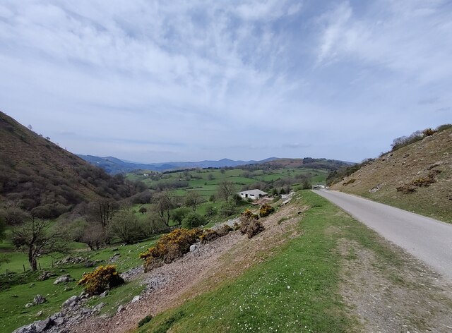
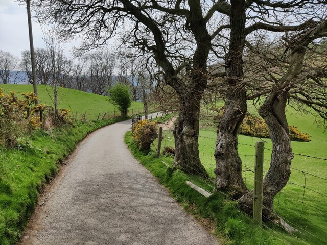
Eglwyseg Plantation is a picturesque woodland area located in Denbighshire, Wales. Spanning approximately 400 hectares, it is nestled within the beautiful Clwydian Range Area of Outstanding Natural Beauty. The plantation is renowned for its rich biodiversity and stunning panoramic views, attracting visitors from near and far.
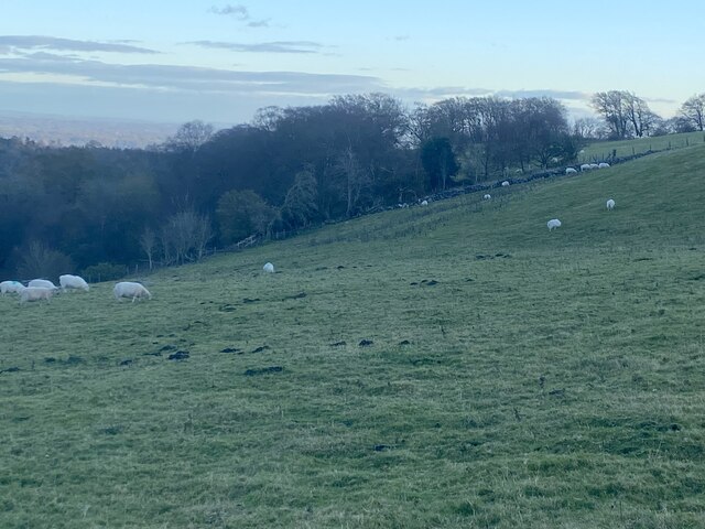
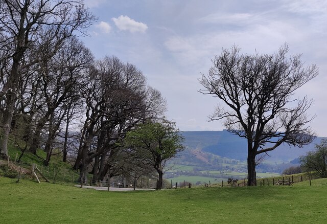
The woodland is predominantly composed of native broadleaf trees, including oak, birch, and rowan, creating a diverse and vibrant ecosystem. The dense canopy provides a habitat for a wide range of wildlife, including birds, mammals, and insects. Birdwatchers often flock to the plantation to catch a glimpse of rare and migratory species such as red kites, buzzards, and woodpeckers.
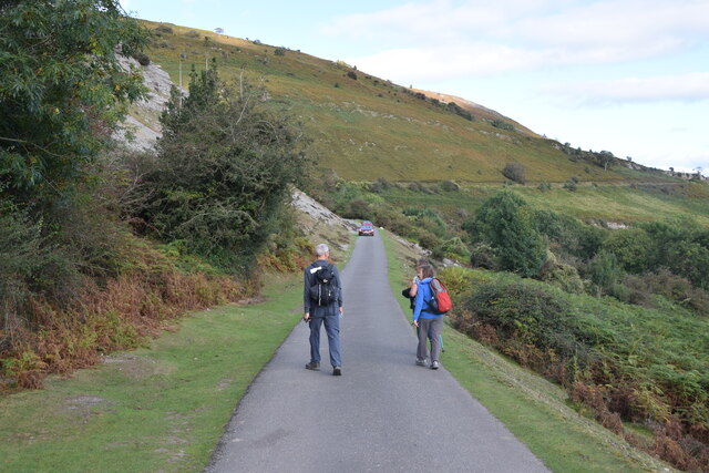
Numerous well-maintained trails crisscross the plantation, offering visitors the opportunity to explore the woodland's hidden gems. These trails cater to all levels of fitness and provide stunning vistas of the surrounding countryside. The plantation's elevated position also offers breathtaking views of the Dee Valley and the Clwydian Range, making it a popular spot for photographers and nature enthusiasts.
In addition to its natural beauty, Eglwyseg Plantation holds historical significance. It was once a thriving lead mining area during the 18th and 19th centuries, and remnants of the mining industry can still be found within the woodland. Old mine shafts, spoil heaps, and ruins serve as reminders of the area's industrial past.
Overall, Eglwyseg Plantation is a haven for nature lovers and history enthusiasts alike. Its tranquil atmosphere, diverse wildlife, and stunning views make it a must-visit destination in Denbighshire, offering a perfect escape from the hustle and bustle of everyday life.
If you have any feedback on the listing, please let us know in the comments section below.
Eglwyseg Plantation Images
Images are sourced within 2km of 52.987647/-3.1519876 or Grid Reference SJ2243. Thanks to Geograph Open Source API. All images are credited.


Eglwyseg Plantation is located at Grid Ref: SJ2243 (Lat: 52.987647, Lng: -3.1519876)
Unitary Authority: Denbighshire
Police Authority: North Wales
What 3 Words
///sideburns.obvious.pirates. Near Llangollen, Denbighshire
Nearby Locations
Related Wikis

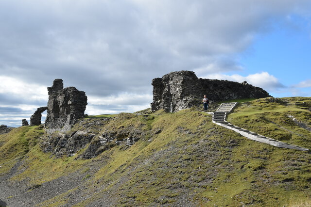
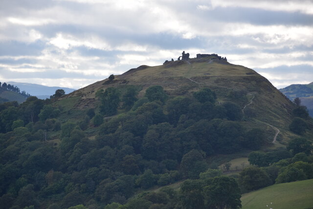
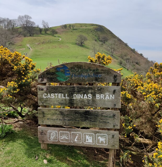
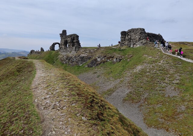
Castell Dinas Brân
Castell Dinas Brân is a medieval castle, built by the Princes of Powys Fadog, which occupies a prominent hilltop site above the town of Llangollen in Denbighshire...

Llangollen Town F.C.
Llangollen Town F.C. is a Welsh football club based in Llangollen playing in the Ardal NE. They were founded in 1908. == History == The club joined the...
Ysgol Dinas Brân
Ysgol Dinas Brân is an 11-18 bilingual co-educational secondary school in Llangollen, Denbighshire, Wales. It serves the town of Llangollen and the surrounding...
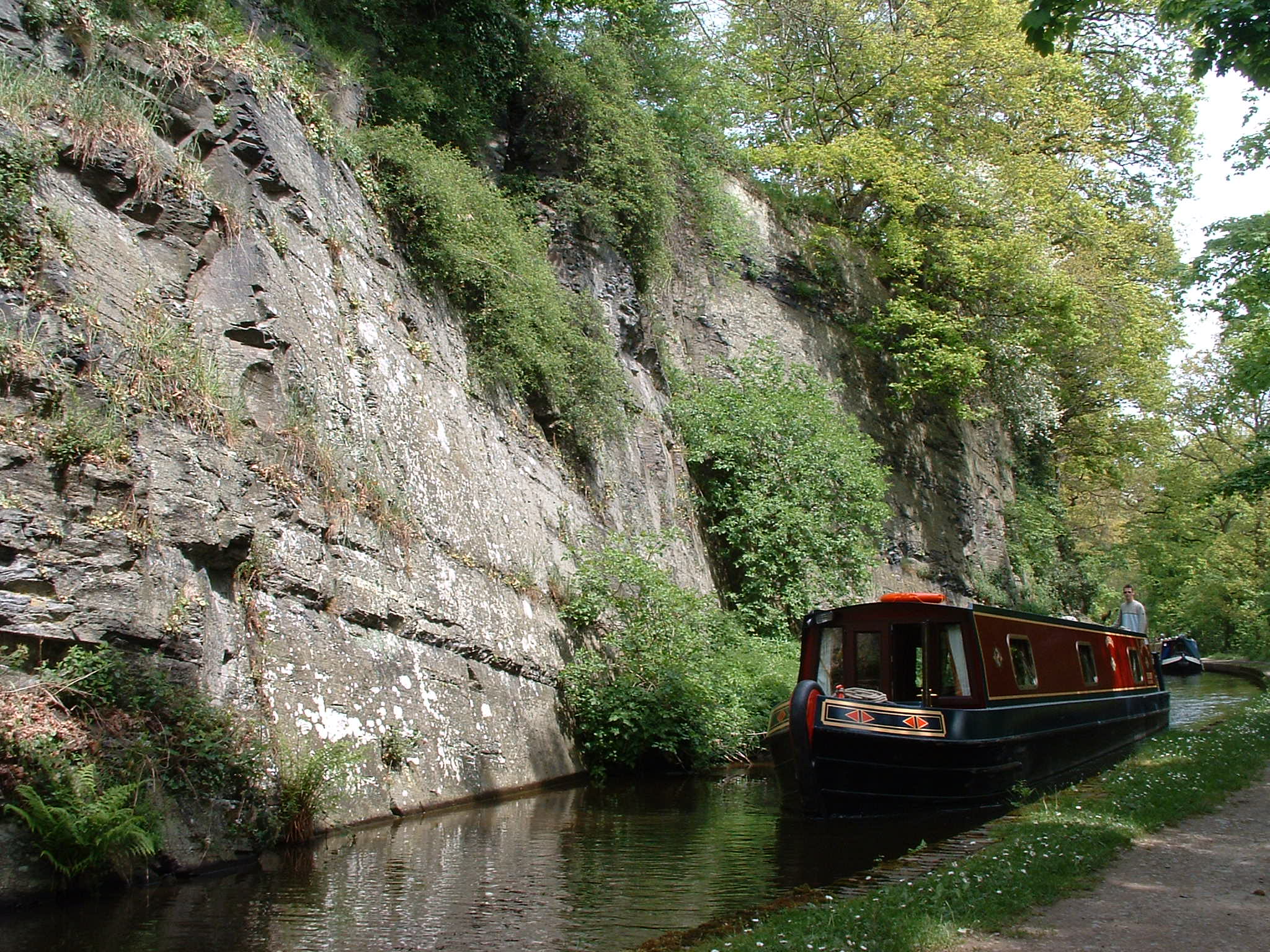
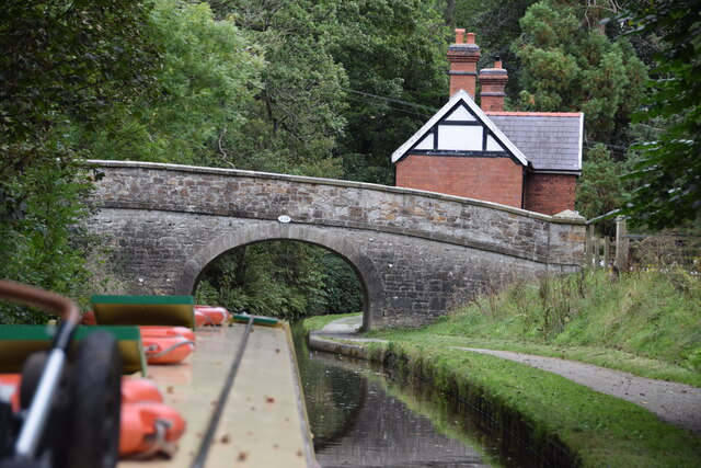
Llangollen Canal
The Llangollen Canal (Welsh: Camlas Llangollen) is a navigable canal crossing the border between England and Wales. The waterway links Llangollen in Denbighshire...
Have you been to Eglwyseg Plantation?
Leave your review of Eglwyseg Plantation below (or comments, questions and feedback).