Caer-Farchell

Settlement in Pembrokeshire

Wales

Caer-Farchell

A487 near Rhosdwarch
A487 near Rhosdwarch Credit: Anthony Parkes

Caer-Farchell is a small village located in the county of Pembrokeshire, Wales. Situated near the beautiful Welsh coastline, it is surrounded by stunning natural landscapes and offers a peaceful and tranquil setting for residents and visitors alike.

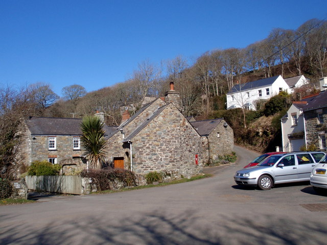
The village is home to a population of approximately 500 individuals, who enjoy a tight-knit community atmosphere. Caer-Farchell is renowned for its picturesque charm, with quaint stone cottages lining the streets and an abundance of lush greenery. The village is also known for its well-preserved historic buildings, including a 12th-century church that stands as a testament to its rich heritage.

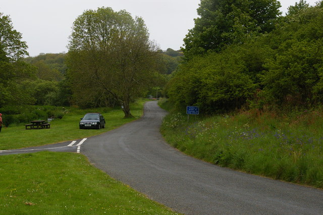
Nature enthusiasts are drawn to Caer-Farchell due to its proximity to the Pembrokeshire Coast National Park, a designated Area of Outstanding Natural Beauty. The park offers a variety of outdoor activities, such as hiking, cycling, and wildlife spotting, allowing visitors to fully immerse themselves in the stunning surroundings.

In terms of amenities, Caer-Farchell has a handful of local shops and services, including a small supermarket and a post office. For further amenities, residents often travel to the nearby town of Haverfordwest, which is approximately 10 miles away.

Overall, Caer-Farchell is a hidden gem of Pembrokeshire, offering a peaceful retreat for those seeking natural beauty and a close-knit community. Whether exploring the coastal paths, embracing the village's historical charm, or simply enjoying the tranquility of rural life, Caer-Farchell has something to offer everyone.

If you have any feedback on the listing, please let us know in the comments section below.

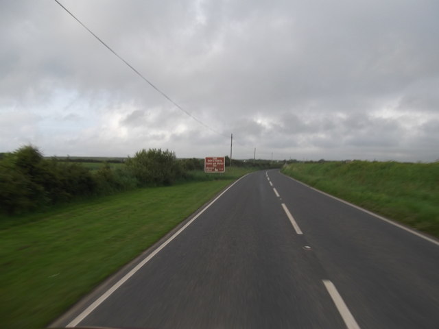
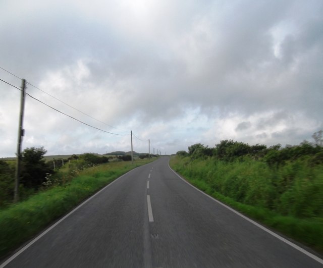
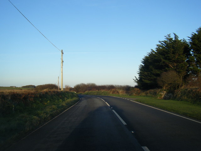
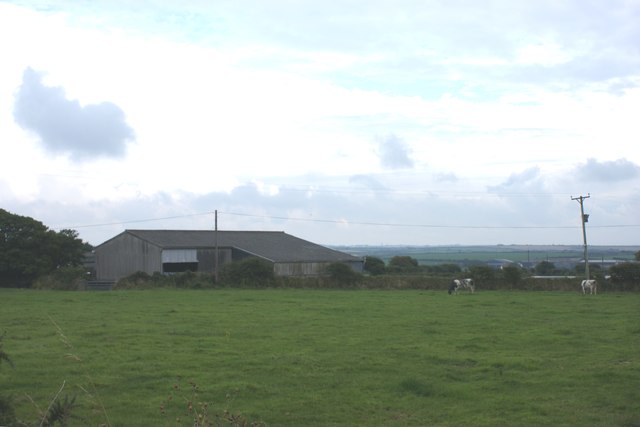
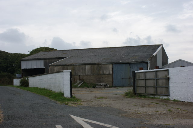
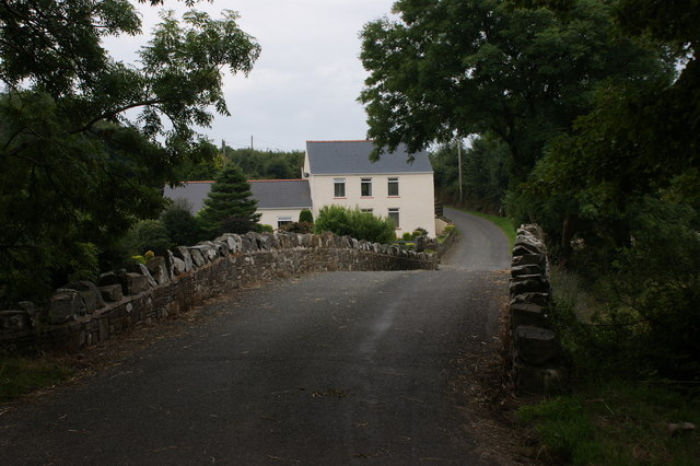
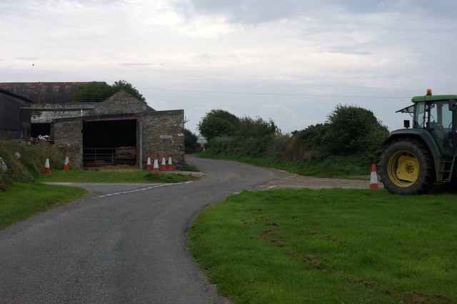
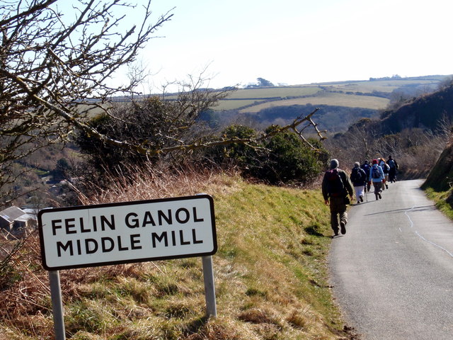
Caer-Farchell Images

Images are sourced within 2km of 51.89834/-5.205294 or Grid Reference SM7927. Thanks to Geograph Open Source API. All images are credited.

A487 near Rhosdwarch
A487 at Carnhedryn
A487 at Carnhedryn
Disused quarry at Middle Mill, Solva A huge quarry set into the hillside at Middle Mill. Currently for sale, the quarry is described as 'quartz dolomite hard stone', which I would assume is best used as roadstone.
Disused quarry at Middle Mill, Solva
A huge quarry set into the hillside at Middle Mill. Currently for sale, the quarry is described as 'quartz dolomite hard stone', which I would assume is best used as roadstone.
Middle Mill Quarry Stone Drops Basically stone built hoppers to allow graded stone from the dolerite quarry to be loaded into carts or trucks for transport elsewhere. They are in a line and had different sized slots in the roof. The stone was then transported down the valley to Solva, via a tramway, before being loaded onto ships for export.
Middle Mill Quarry Stone Drops
Basically stone built hoppers to allow graded stone from the dolerite quarry to be loaded into carts or trucks for transport elsewhere. They are in a line and had different sized slots in the roof. The stone was then transported down the valley to Solva, via a tramway, before being loaded onto ships for export.
A487 near Penwaun
A487 near Penwaun
Farm buildings at Ysgeifiog or Skyfog
Farmyard at Skyfog
Farmyard at Skyfog
Caerforiog Bridge over the River Solva Looking south towards Kingheriot.
Caerforiog Bridge over the River Solva
Looking south towards Kingheriot.
Crossroads by Kingheriot Farm
Felin Ganol / Middle Mill Cerddwyr yn cyrraedd pentre Felin Ganol.

Walkers approaching the village of Middle Mill.
Felin Ganol / Middle Mill
Cerddwyr yn cyrraedd pentre Felin Ganol. Walkers approaching the village of Middle Mill.
Pentref Felin Ganol / Middle Mill Village Pentre Felin Ganol gyda'r hen felin yd yn y blaendir.

The village of Middle Mill with the old corn mill in the foreground.
Pentref Felin Ganol / Middle Mill Village
Pentre Felin Ganol gyda'r hen felin yd yn y blaendir. The village of Middle Mill with the old corn mill in the foreground.
Lane down the valley at Middle Mill
Junction of lanes at Middle Mill
Solva Weighbridge The disused weighbridge by the quarry at Middle Mill Solva.
Solva Weighbridge
The disused weighbridge by the quarry at Middle Mill Solva.
Solva Woollen Mill Fast developing business with plans for major expansion on display. Not just a heritage trip for tourists, but a producer of high end woollen goods with a tea room attached.
Solva Woollen Mill
Fast developing business with plans for major expansion on display. Not just a heritage trip for tourists, but a producer of high end woollen goods with a tea room attached.
Solva Woollen Mill - the original power source Fast developing business with plans for major expansion on display. Not just a heritage trip for tourists, but a producer of high end woollen goods with a tea room attached. The original source of power, recently restored.
Solva Woollen Mill - the original power source
Fast developing business with plans for major expansion on display. Not just a heritage trip for tourists, but a producer of high end woollen goods with a tea room attached. The original source of power, recently restored.
The beginning of a footpath to Solva
Solva Woollen Mill This century old working mill on the banks of the Solfach welcomes visitors to its shop, gallery and viewing areas.
<span class="nowrap"><a title="www.solvawoollenmill.co.uk" rel="nofollow ugc noopener" href="http://www.solvawoollenmill.co.uk">Link</a><img style="margin-left:2px;" alt="External link" title="External link - shift click to open in new window" src="https://s1.geograph.org.uk/img/external.png" width="10" height="10"/></span>
Solva Woollen Mill
This century old working mill on the banks of the Solfach welcomes visitors to its shop, gallery and viewing areas. LinkExternal link
Show me another place!

Caer-Farchell is located at Grid Ref: SM7927 (Lat: 51.89834, Lng: -5.205294)

Unitary Authority: Pembrokeshire

Police Authority: Dyfed Powys

Also known as: Carfarchell, Caerfarchell

What 3 Words

///freely.roadshow.pixies. Near St Davids, Pembrokeshire

Related Wikis

Caerfarchell

Caerfarchell (Welsh pronunciation: [kaɪrvɑːrxɛɬ]) is a small village in Pembrokeshire, Wales, 3 miles northeast of St Davids, close by the A487 road. It...

RAF St Davids

Royal Air Force St Davids, or more simply RAF St Davids, is a former Royal Air Force station, near the city of St Davids, Pembrokeshire, Wales, in the...

Solva Woollen Mill

Solva Woollen Mill is a woollen mill in the village of Middle Mill, about one mile from Solva, Pembrokeshire, Wales, that has been in operation since 1907...

Whitchurch, Pembrokeshire

Whitchurch (Welsh: Tregroes, lit. "Town of the Cross") is a small village and parish (Plwy'r Groes, lit. "Parish of the Cross") in north-western Pembrokeshire...

Nearby Amenities

Located within 500m of 51.89834,-5.205294
Caerfarchell
Place: hamlet
Wikidata: Q5016890
Lat/Long: 51.898148/-5.2075127
Post Box
Post Box Type: lamp
Royal Cypher: EIIR
Royal Cypher Wikidata: Q33102113
Lat/Long: 51.8978196/-5.2064071
The data included in this document is from www.openstreetmap.org. The data is made available under ODbL.

Have you been to Caer-Farchell?

Leave your review of Caer-Farchell below (or comments, questions and feedback).