Coed Mam-gu
Wood, Forest in Monmouthshire
Wales
Coed Mam-gu

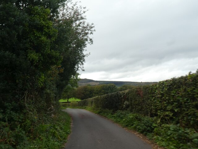
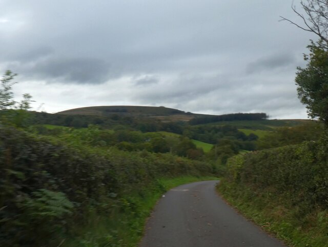
Coed Mam-gu, located in Monmouthshire, Wales, is a picturesque woodland area encompassing approximately 80 hectares. Known for its natural beauty and rich biodiversity, the forest offers a tranquil and peaceful retreat for nature enthusiasts and hikers alike.
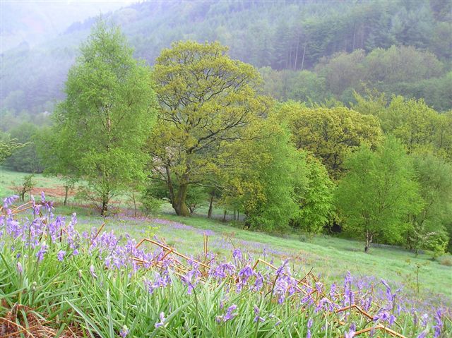
The woodland, which translates to "Grandmother's Wood" in English, is situated near the village of Trellech and is easily accessible for visitors. It is characterized by a diverse range of tree species, including oak, ash, beech, and birch, which form a dense canopy overhead. The forest floor is adorned with a variety of wildflowers, ferns, and mosses, creating a vibrant and enchanting atmosphere.
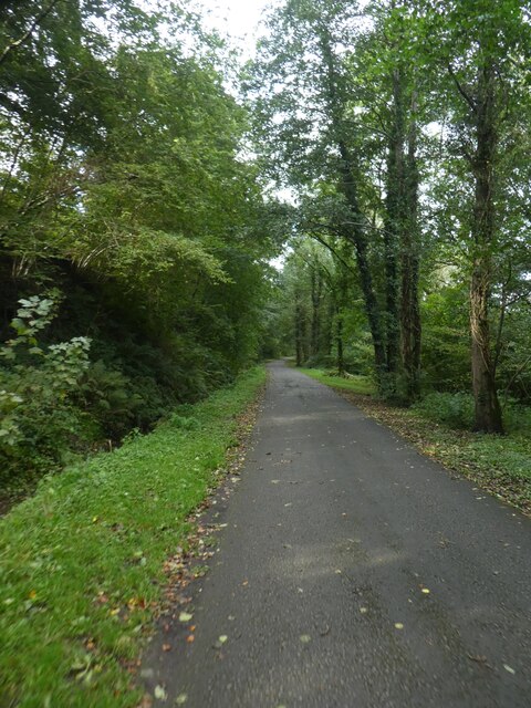
Coed Mam-gu is home to an array of wildlife, with numerous bird species, such as woodpeckers and owls, finding sanctuary within its borders. The forest also provides habitat for small mammals like squirrels, badgers, and foxes. Nature lovers can explore the forest through a network of well-maintained trails, offering opportunities for leisurely walks or more challenging hikes.
The woodland holds historical significance as well, with remnants of ancient settlements and monuments scattered throughout. Visitors can stumble upon ancient burial mounds, standing stones, and even the remains of a medieval village, adding an element of intrigue and cultural interest to the area.
Coed Mam-gu, Monmouthshire, with its captivating natural beauty, diverse wildlife, and historical treasures, is a haven for those seeking solace in the tranquility of nature. Whether one is looking for a peaceful stroll or a deeper connection with the land's history, this woodland offers a fulfilling and immersive experience for all who venture into its embrace.
If you have any feedback on the listing, please let us know in the comments section below.
Coed Mam-gu Images
Images are sourced within 2km of 51.625447/-3.1208939 or Grid Reference ST2292. Thanks to Geograph Open Source API. All images are credited.


Coed Mam-gu is located at Grid Ref: ST2292 (Lat: 51.625447, Lng: -3.1208939)
Unitary Authority: Caerphilly
Police Authority: Gwent
What 3 Words
///voucher.dusters.self. Near Crosskeys, Caerphilly
Nearby Locations
Related Wikis

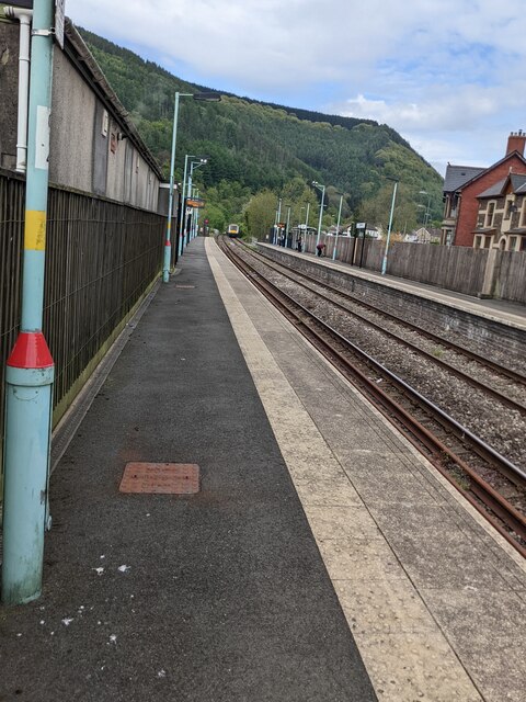
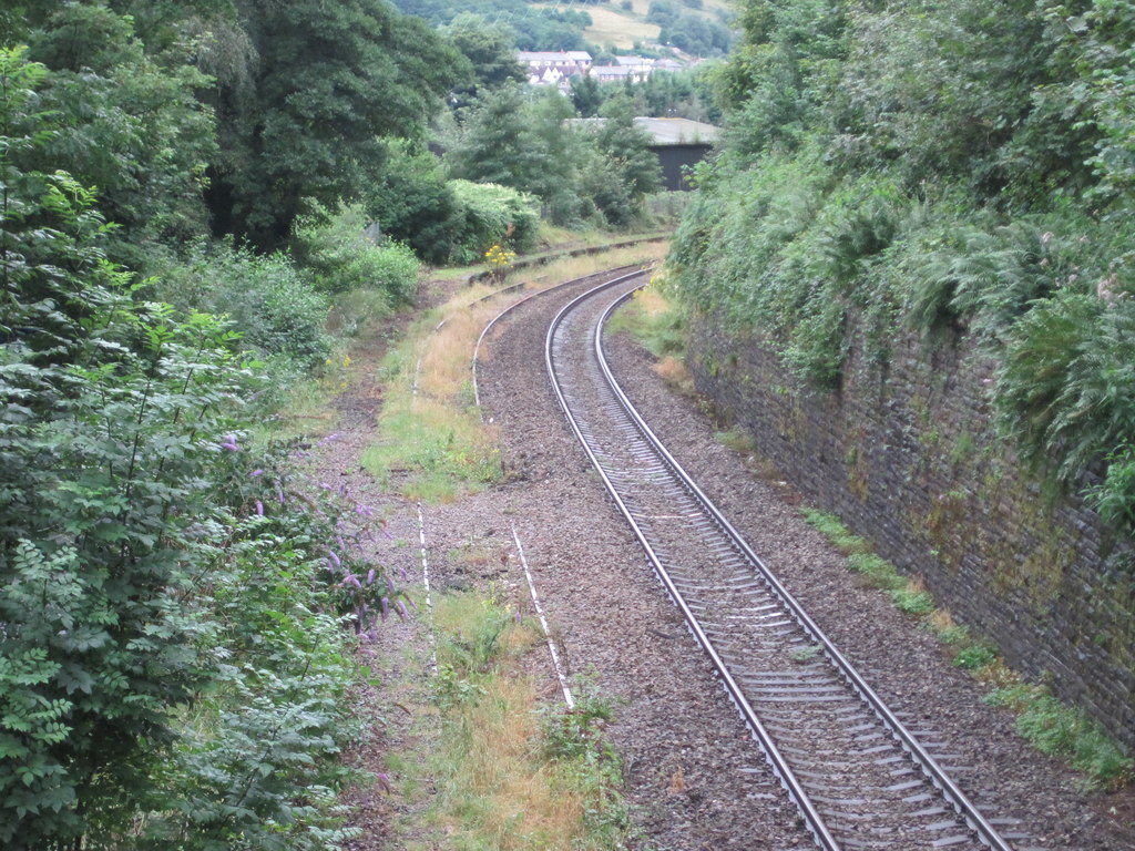
Crosskeys railway station
Crosskeys railway station is a station serving the village of Crosskeys in the Caerphilly County Borough in Wales. It is on the Ebbw Valley Railway. The...

Crosskeys College
Coleg Gwent - Crosskeys (generally known as Crosskeys College) is the largest campus of Coleg Gwent. It is located next to Risca Road in Crosskeys, near...

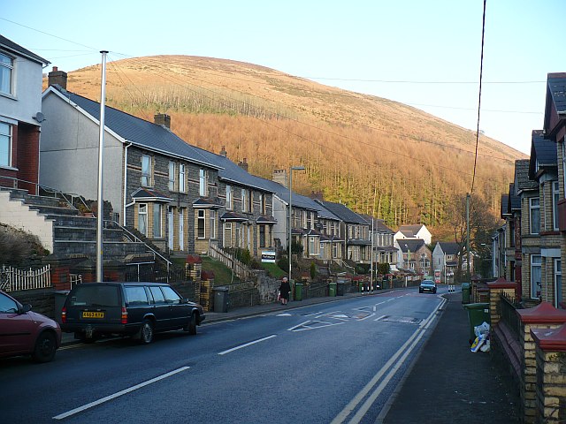
Crosskeys
Crosskeys (Welsh: Pont-y-cymer) is a village, community and an electoral ward in Caerphilly county borough in Wales. == Etymology == The village was originally...
Cwmcarn
Cwmcarn is a village situated in the Ebbw valley in south Wales, in the historic boundaries of Monmouthshire. It grew with 19th-century coal mining, but...
Cwmcarn railway station
Cwmcarn railway station served the village of Cwmcarn, Monmouthshire from 1855 to 1962 on the Ebbw Valley Railway. == History == The station opened in...
Saint Mary & Saint Philopateer Abu Saifain Coptic Orthodox Church
St Mary and St Mercurius Coptic Orthodox Church is the first Coptic Orthodox Church in Wales, at St Mary Street in Risca, Newport, Wales. It was consecrated...
Mynydd y Lan
Mynydd y Lan is a 381-metre-high flat-topped hill in Caerphilly county borough in South Wales. It falls largely within the community of Ynysddu but its...

Twmbarlwm
Twmbarlwm, also known as Twm Barlwm, Twyn Barlwm or locally known as "the Twmp" (translation: hump), the Nipple or the Pimple because of the mound that...
Nearby Amenities
Located within 500m of 51.625447,-3.1208939Have you been to Coed Mam-gu?
Leave your review of Coed Mam-gu below (or comments, questions and feedback).