Coed Cil-lonydd

Wood, Forest in Monmouthshire

Wales

Coed Cil-lonydd

Demolition site, Hafod-yr-Ynys Road A row of houses has begun to be demolished because of the high concentration of nitrogen dioxide in the air. The remaining houses on Woodside Terrace, all purchased by Caerphilly Council, will all be demolished
Demolition site, Hafod-yr-Ynys Road Credit: M J Roscoe

The requested URL returned error: 429 Too Many Requests

If you have any feedback on the listing, please let us know in the comments section below.

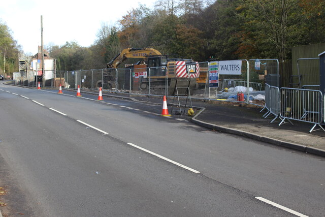
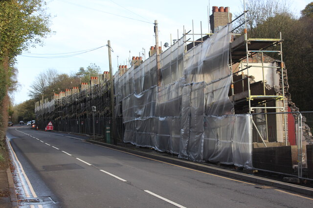
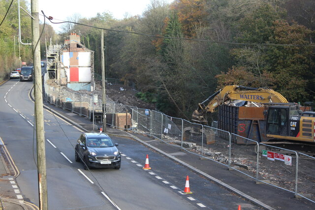
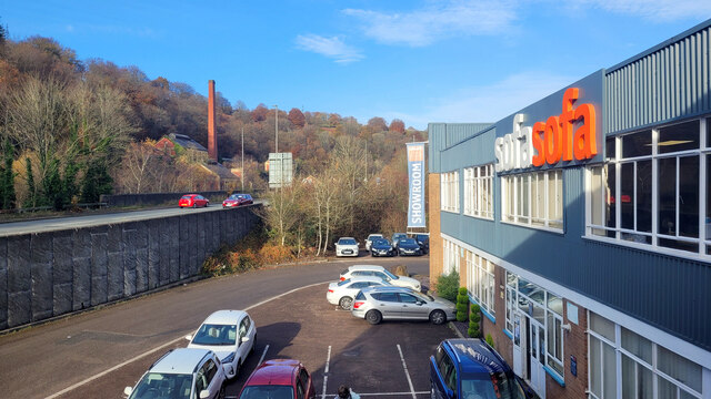
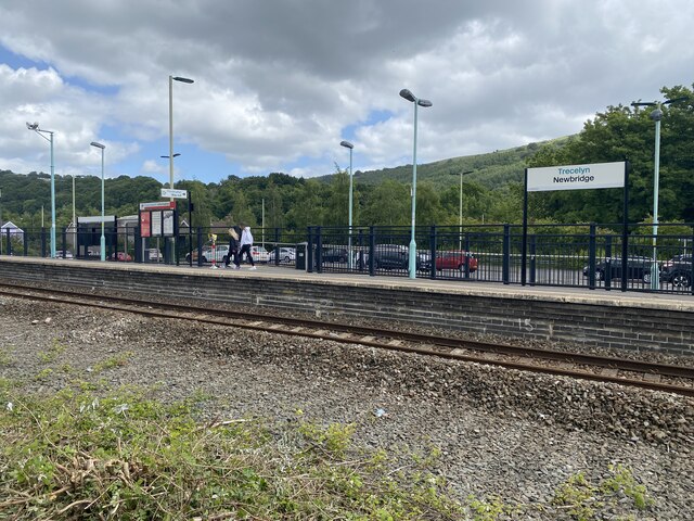
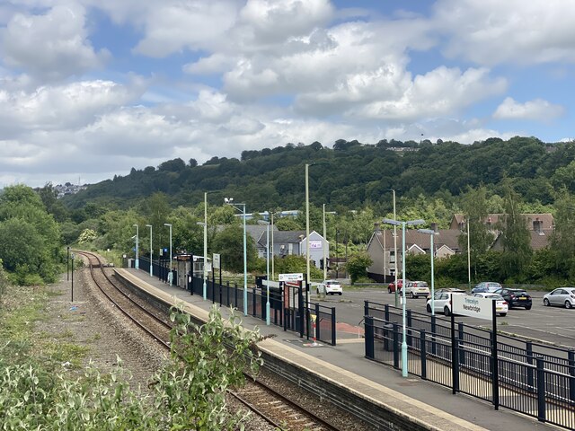
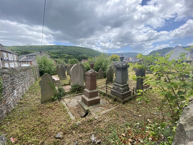
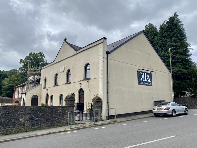
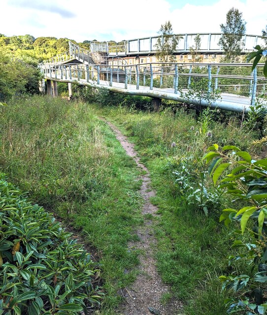
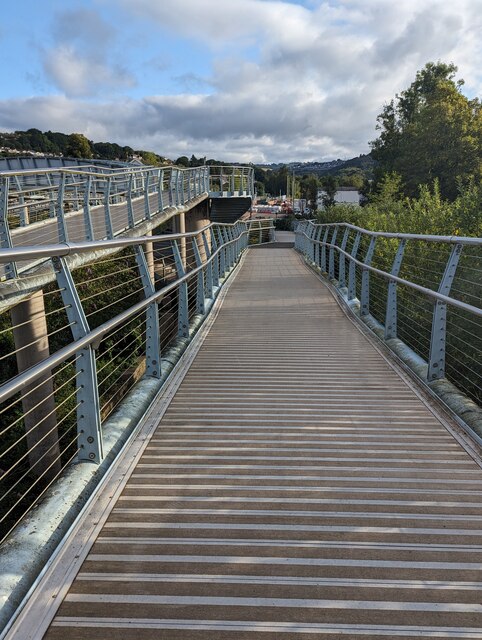
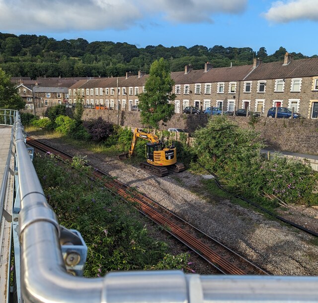
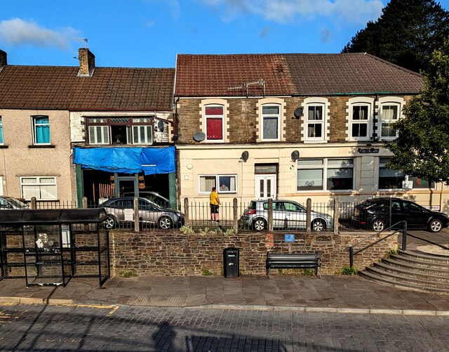
Coed Cil-lonydd Images

Images are sourced within 2km of 51.672312/-3.1235547 or Grid Reference ST2297. Thanks to Geograph Open Source API. All images are credited.

Demolition site, Hafod-yr-Ynys Road A row of houses has begun to be demolished because of the high concentration of nitrogen dioxide in the air. The remaining houses on Woodside Terrace, all purchased by Caerphilly Council, will all be demolished
Demolition site, Hafod-yr-Ynys Road
A row of houses has begun to be demolished because of the high concentration of nitrogen dioxide in the air. The remaining houses on Woodside Terrace, all purchased by Caerphilly Council, will all be demolished
Houses ready for demolition, Hafod-yr-Ynys Road Row of terraced houses due to be demolished because of the high concentration of nitrogen dioxide in the air in the 'street canyon' in the valley. The green cabinet next to the telegraph pole houses the monitor of air pollutants.
Houses ready for demolition, Hafod-yr-Ynys Road
Row of terraced houses due to be demolished because of the high concentration of nitrogen dioxide in the air in the 'street canyon' in the valley. The green cabinet next to the telegraph pole houses the monitor of air pollutants.
House demolition site, Hafod-yr-Ynys Road All the houses on Woodside Terrace, purchased by Caerphilly Council, will be demolished because of severe air pollution on this busy cross-valley A road.
House demolition site, Hafod-yr-Ynys Road
All the houses on Woodside Terrace, purchased by Caerphilly Council, will be demolished because of severe air pollution on this busy cross-valley A road.
Sofa Sofa Looking towards the A467 at Crumlin from the furniture retailer's showroom.
Sofa Sofa
Looking towards the A467 at Crumlin from the furniture retailer's showroom.
Newbridge Railway Station
Shops in Victoria Terrace, Newbridge
Beulah Baptist Cemetery in Newbridge
KLA Dance Studio Formerly Beulah Baptist Church, Newbridge.
KLA Dance Studio
Formerly Beulah Baptist Church, Newbridge.
Construction of platform, Newbridge Railway Station New platform, west rail, prior to dualling of the Ebbw Valley line between Crosskeys and Aberbeeg; the line was closed for a week for works at various places along the line. Compare with view in June 2022 - <a href="https://www.geograph.org.uk/photo/7200007">ST2196 : Newbridge Railway Station</a>.
Construction of platform, Newbridge Railway Station
New platform, west rail, prior to dualling of the Ebbw Valley line between Crosskeys and Aberbeeg; the line was closed for a week for works at various places along the line. Compare with view in June 2022 - ST2196 : Newbridge Railway Station.
Construction work at Newbridge Railway Station A new platform is being built <a href="https://www.geograph.org.uk/photo/7473016">ST2196 : Construction of platform, Newbridge Railway Station</a> ready for dualling of part of the Ebbw Valley line
Construction work at Newbridge Railway Station
A new platform is being built ST2196 : Construction of platform, Newbridge Railway Station ready for dualling of part of the Ebbw Valley line
Conti Fish Bar, High Street, Newbridge Fish & chips shop viewed from Newbridge railway station in July 2023.
Conti Fish Bar, High Street, Newbridge
Fish & chips shop viewed from Newbridge railway station in July 2023.
Blue marked part of Newbridge railway station car park Reserved for the vehicles of Blue Badge holders.
Blue marked part of Newbridge railway station car park
Reserved for the vehicles of Blue Badge holders.
Track through grass, Newbridge Newbridge railway station is behind the camera.
Track through grass, Newbridge
Newbridge railway station is behind the camera.
Ramp descending towards Newbridge railway station car park
Yellow Flannery excavator, Newbridge In July 2023 work is in progress on creating a second track
and second platform at Newbridge station behind the camera.
Yellow Flannery excavator, Newbridge
In July 2023 work is in progress on creating a second track and second platform at Newbridge station behind the camera.
Northern end of Ebbw View Terrace, Newbridge The building on the right is on the corner of High Street.
Northern end of Ebbw View Terrace, Newbridge
The building on the right is on the corner of High Street.
Trees on a Newbridge corner On the corner of Ebbw View Terrace and High Street.
Golden Vape is in the background.
Trees on a Newbridge corner
On the corner of Ebbw View Terrace and High Street. Golden Vape is in the background.
Show me another place!

Coed Cil-lonydd is located at Grid Ref: ST2297 (Lat: 51.672312, Lng: -3.1235547)

Unitary Authority: Caerphilly

Police Authority: Gwent

What 3 Words

///medium.playfully.detection. Near Newbridge, Caerphilly

Related Wikis

Newbridge, Caerphilly

Newbridge (Welsh: Trecelyn) is a town and community in the county borough of Caerphilly, south Wales. It lies within the historic boundaries of the county...

Hafodyrynys Platform railway station

Hafodyrynys Platform railway station was a station on the former Taff Vale Extension of the Newport, Abergavenny and Hereford Railway. It served the village...

Celynen North Halt railway station

Celynen North Halt railway station served the town of Abercarn, in the historical county of Glamorganshire, from 1936 to 1962 on the Monmouthshire Railway...

Ebbw Valley Railway

The Ebbw Valley Railway (Welsh: Rheilffordd Cwm Ebwy) is a branch line of the South Wales Main Line in South Wales. Transport for Wales Rail provides an...

Nearby Amenities

Located within 500m of 51.672312,-3.1235547
Pantside
Name Cy: Cefn y Pant
Place: suburb
Wikidata: Q107032353
Lat/Long: 51.6734884/-3.1296693
Turning Circle
Claremont Road
Lat/Long: 51.673394/-3.1282868
Direction: SE
Generator Method: photovoltaic
Generator Output Electricity: yes
Generator Solar Modules: 12
Generator Source: solar
Generator Type: solar_photovoltaic_panel
Location: roof
Power: generator
Lat/Long: 51.6751722/-3.1290449
Direction: 145
Generator Method: photovoltaic
Generator Output Electricity: yes
Generator Solar Modules: 18
Generator Source: solar
Generator Type: solar_photovoltaic_panel
Location: roof
Power: generator
Lat/Long: 51.6725398/-3.1307394
Direction: 145
Generator Method: photovoltaic
Generator Output Electricity: yes
Generator Solar Modules: 18
Generator Source: solar
Generator Type: solar_photovoltaic_panel
Location: roof
Power: generator
Lat/Long: 51.6725884/-3.1306154
Direction: SSE
Generator Method: photovoltaic
Generator Output Electricity: yes
Generator Solar Modules: 16
Generator Source: solar
Generator Type: solar_photovoltaic_panel
Location: roof
Power: generator
Lat/Long: 51.6735898/-3.128314
The data included in this document is from www.openstreetmap.org. The data is made available under ODbL.

Have you been to Coed Cil-lonydd?

Leave your review of Coed Cil-lonydd below (or comments, questions and feedback).