Coed y Felin
Wood, Forest in Flintshire
Wales
Coed y Felin
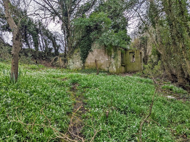
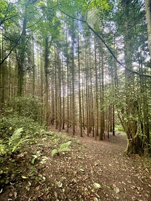
Coed y Felin, located in Flintshire, is a picturesque woodland area known for its natural beauty and tranquil atmosphere. Covering an area of approximately 100 acres, this enchanting forest is a popular destination for nature lovers and outdoor enthusiasts.
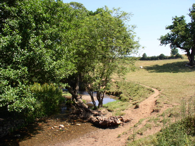
The woodland boasts a diverse range of tree species, including oak, beech, and birch, creating a rich and vibrant ecosystem. The dense canopy provides shade and shelter for a variety of wildlife, such as squirrels, rabbits, and numerous bird species. Visitors can often spot these creatures as they explore the forest's meandering paths and trails.
Coed y Felin offers a range of recreational activities for visitors to enjoy. There are well-maintained walking trails that cater to different levels of fitness, from leisurely strolls to more challenging hikes. The forest also features designated picnic areas, allowing visitors to relax and enjoy a meal amidst the peaceful surroundings.
The woodland is well-preserved and cared for by local authorities, ensuring its natural beauty remains intact. Educational programs and nature walks are regularly organized to promote awareness and appreciation of the forest's ecological importance.
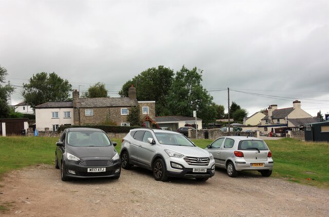
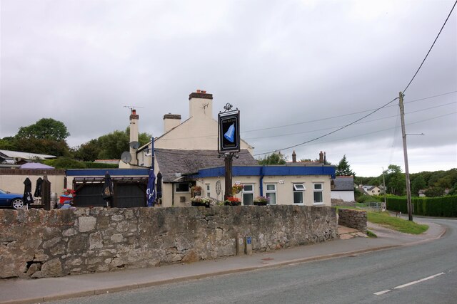
Coed y Felin is conveniently located near several towns and villages, making it easily accessible for both locals and tourists. With its serene ambiance and stunning scenery, this woodland oasis offers a welcome escape from the hustle and bustle of everyday life, providing an opportunity to reconnect with nature and enjoy the beauty of the Flintshire countryside.
If you have any feedback on the listing, please let us know in the comments section below.
Coed y Felin Images
Images are sourced within 2km of 53.231905/-3.1691728 or Grid Reference SJ2271. Thanks to Geograph Open Source API. All images are credited.


Coed y Felin is located at Grid Ref: SJ2271 (Lat: 53.231905, Lng: -3.1691728)
Unitary Authority: Flintshire
Police Authority: North Wales
What 3 Words
///camper.unloading.bends. Near Halkyn, Flintshire
Nearby Locations
Related Wikis
Halkyn
Halkyn (Welsh: Helygain [heˈləgain]; Flintshire Welsh: Lygian [ˈləgjan]) is a village and community in Flintshire, north-east Wales and situated between...

Cornist Hall
Cornist Hall is a large house 1 mile (1.6 km) west-southwest of the town of Flint, Flintshire, Wales. It was the birthplace in 1746 of Thomas Totty, an...

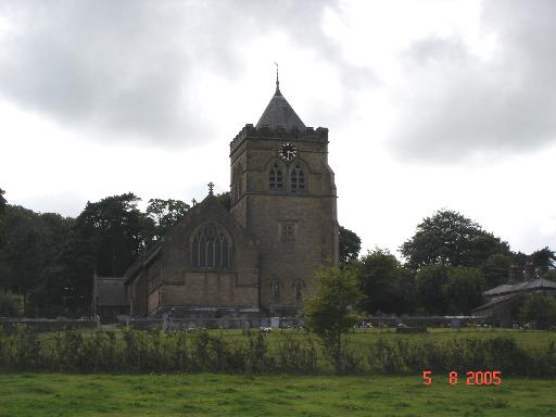
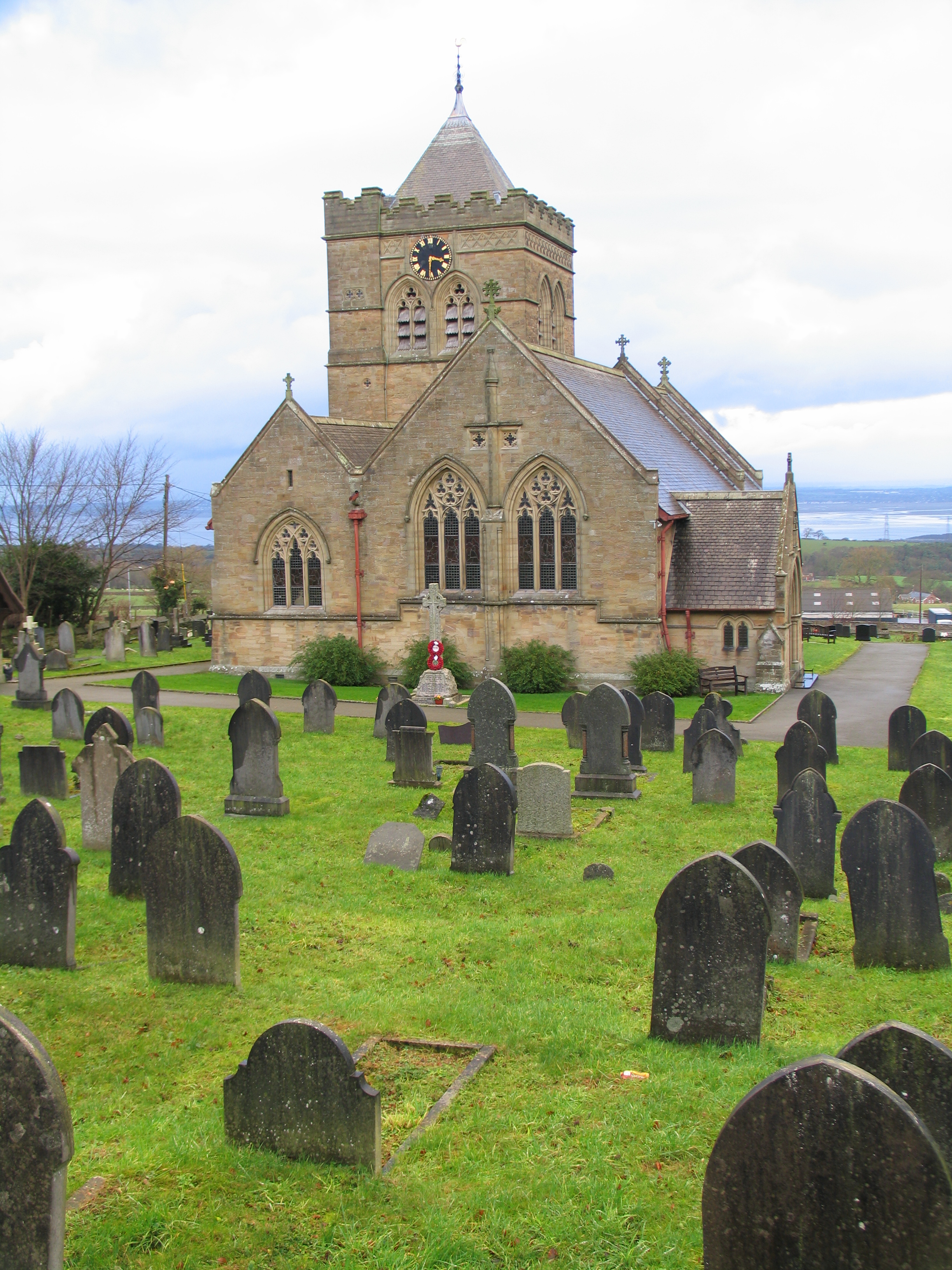
Church of St Mary the Virgin, Halkyn
The Church of St Mary the Virgin, Halkyn is to the north of the village of Halkyn, Flintshire, Wales. It is an active Anglican parish church in the diocese...

Halkyn Castle
Halkyn Castle (Welsh: Castell Helygain) is a mansion house in the village of Halkyn, Flintshire, Wales. The house, with its associated stable block, is...
Nearby Amenities
Located within 500m of 53.231905,-3.1691728Have you been to Coed y Felin?
Leave your review of Coed y Felin below (or comments, questions and feedback).