Patch Wood

Wood, Forest in Montgomeryshire

Wales

Patch Wood

Castell y Gwynt Now a converted farmhouse complete with pond and summerhouse.
Castell y Gwynt Credit: Jeremy Bolwell

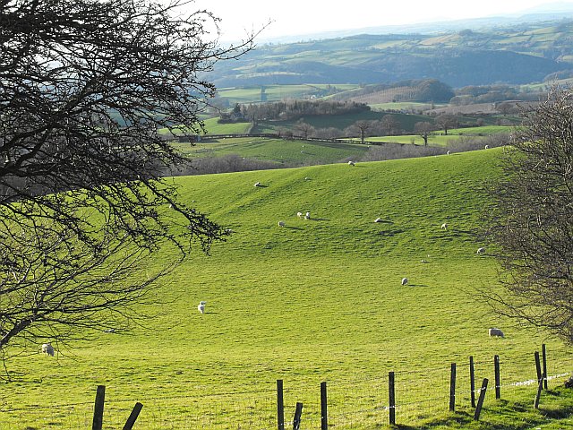
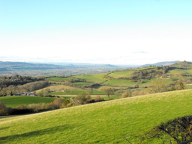
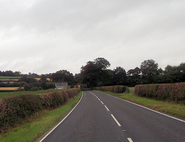
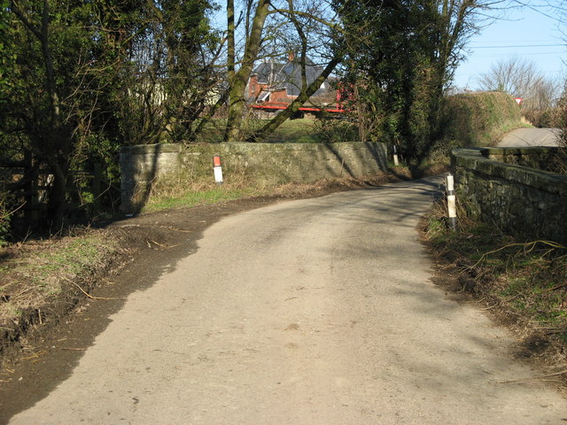
Patch Wood is a small woodland located in Montgomeryshire, a county in Wales. It is situated in a rural area, surrounded by picturesque landscapes and rolling hills. The wood is known for its natural beauty and tranquil ambiance, making it a popular destination for nature enthusiasts and hikers.

Covering an area of approximately 20 acres, Patch Wood is home to a diverse range of flora and fauna. The woodland is primarily composed of deciduous trees, such as oak, beech, and birch, which provide a dense canopy and create a shaded and cool atmosphere. The forest floor is covered in a thick layer of leaf litter, adding to the enchanting appeal of the wood.

The wood is crisscrossed with a network of footpaths and trails, allowing visitors to explore its beauty at their own pace. These paths lead to hidden nooks and corners, where one can find secluded spots for picnics or simply to sit and enjoy the serenity of the surroundings.

Birdwatchers will be delighted to find a variety of bird species residing in Patch Wood, including woodpeckers, thrushes, and various songbirds. The wood is also home to small mammals like squirrels, rabbits, and hedgehogs, which can often be spotted scurrying through the undergrowth.

Patch Wood is a protected area, ensuring the preservation of its natural habitat and wildlife. It offers a peaceful retreat from the hustle and bustle of everyday life, providing an opportunity for visitors to reconnect with nature and experience the tranquility of a truly beautiful woodland setting.

If you have any feedback on the listing, please let us know in the comments section below.
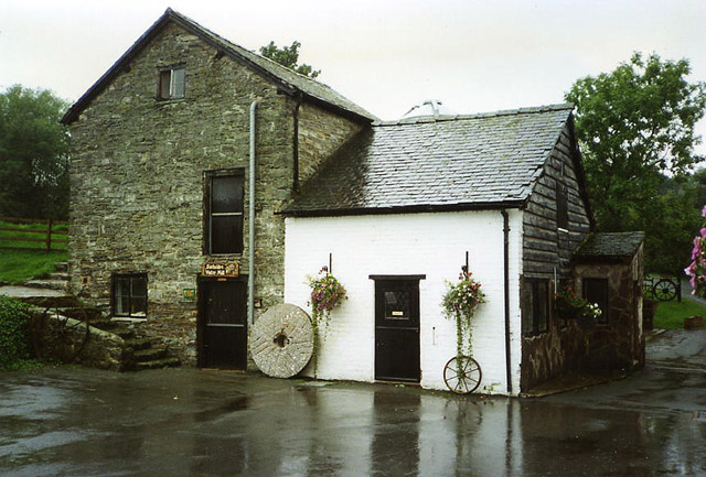
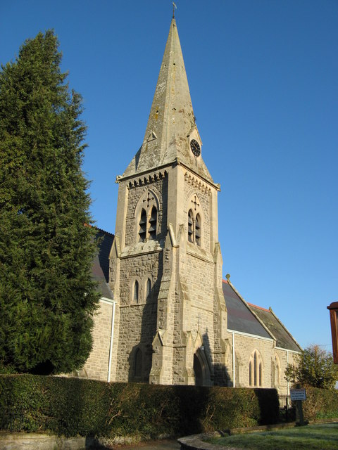
Patch Wood Images

Images are sourced within 2km of 52.532661/-3.1521146 or Grid Reference SO2193. Thanks to Geograph Open Source API. All images are credited.

Castell y Gwynt Now a converted farmhouse complete with pond and summerhouse.
Castell y Gwynt
Now a converted farmhouse complete with pond and summerhouse.
Running into England A489 eastbound about to cross the border into England. Shropshire sign post can be seen. East of Sarn
Running into England
A489 eastbound about to cross the border into England. Shropshire sign post can be seen. East of Sarn
View NW from Cefn y Coed near White Hall Farm The NW corner of this grid square is in the woodland below. Beyond in the middle distance, right of centre is Henfron in <a href="https://www.geograph.org.uk/gridref/SO1896">SO1896</a> about 3km away, seen here <a title="https://www.geograph.org.uk/photo/2866026" href="https://www.geograph.org.uk/photo/2866026">Link</a> from Llandyssil bridge. The mound crowned with two oaks in that other shot is also visible in this photo, down to the left.
I'm not sure what that structure is in the foreground - more investigation required as it hasn't made it to the maps yet.
View NW from Cefn y Coed near White Hall Farm
The NW corner of this grid square is in the woodland below. Beyond in the middle distance, right of centre is Henfron in SO1896 about 3km away, seen here Link from Llandyssil bridge. The mound crowned with two oaks in that other shot is also visible in this photo, down to the left. I'm not sure what that structure is in the foreground - more investigation required as it hasn't made it to the maps yet.
View NNW from Cefn y Coed near White Hall Farm Llandyssil lies out of sight in the dip beyond the steep wooded bank.
The Berwyns on the horizon.
View NNW from Cefn y Coed near White Hall Farm
Llandyssil lies out of sight in the dip beyond the steep wooded bank. The Berwyns on the horizon.
Small quarry on Cefn y Coed near White Hall Farm It seems to have been used as a silage store over the winter.
Small quarry on Cefn y Coed near White Hall Farm
It seems to have been used as a silage store over the winter.
Pasture on Cefn y Coed Ewes and lambs on rolling pasture.
Pasture on Cefn y Coed
Ewes and lambs on rolling pasture.
View towards Montgomery from Cefn y Coed The hilltop left of centre in the middle distance with two close groups of trees is Town Hill <a href="https://www.geograph.org.uk/gridref/SO2195">SO2195</a> (2.4km away). The trees frame the Montgomery war memorial which is barely visible against the sky. Montgomery lies in the valley on the far side of the hill.
The larger group of trees on the further hill top is Beacon Ring <a href="https://www.geograph.org.uk/gridref/SJ2605">SJ2605</a> (13.5km away). The trees, when viewed from the air, show the Royal monogram EIIR and were planted in 1953 to mark the coronation. They are due to be felled soon.
For a closer view of the two hilltops see <a title="https://www.geograph.org.uk/photo/2868200" href="https://www.geograph.org.uk/photo/2868200">Link</a>.
View towards Montgomery from Cefn y Coed
The hilltop left of centre in the middle distance with two close groups of trees is Town Hill SO2195 (2.4km away). The trees frame the Montgomery war memorial which is barely visible against the sky. Montgomery lies in the valley on the far side of the hill. The larger group of trees on the further hill top is Beacon Ring SJ2605 (13.5km away). The trees, when viewed from the air, show the Royal monogram EIIR and were planted in 1953 to mark the coronation. They are due to be felled soon. For a closer view of the two hilltops see Link.
View to Welshpool from Cefn y Coed A view across the Severn valley to Welshpool <a href="https://www.geograph.org.uk/gridref/SJ2207">SJ2207</a> which is framed by two minor pointed hills. On the horizon are the Berwyns.
The hilltop on the right with two close groups of trees is Town Hill. The trees frame the Montgomery war memorial. Montgomery lies in the valley on the far side of the hill. See <a title="https://www.geograph.org.uk/photo/2868200" href="https://www.geograph.org.uk/photo/2868200">Link</a>.
View to Welshpool from Cefn y Coed
A view across the Severn valley to Welshpool SJ2207 which is framed by two minor pointed hills. On the horizon are the Berwyns. The hilltop on the right with two close groups of trees is Town Hill. The trees frame the Montgomery war memorial. Montgomery lies in the valley on the far side of the hill. See Link.
Rapeseed Field Flowering Rapeseed off the A489 Sarn.
Rapeseed Field
Flowering Rapeseed off the A489 Sarn.
Part of Fron farm An old timber framed farmhouse and old barns and outbuildings make this a characterful spot.
Part of Fron farm
An old timber framed farmhouse and old barns and outbuildings make this a characterful spot.
Part of a range of barns at Gwern-y-go farm Just a part of the range of barns at this old farm.
Part of a range of barns at Gwern-y-go farm
Just a part of the range of barns at this old farm.
Caeliber Isaf Early morning bag into wheat field access from Camp Farm then fields. Dry with watery sun.
Name: Caeliber Isaf
Hill number: 2202
Height: 355m / 1165ft
Area: 31B: Welshpool to Hay-on-Wye
Class: Ma
Grid ref: SO 21165 93414
Summit feature: no feature: pasture
Drop: 172m
Col: 183m  SO206908
Caeliber Isaf
Early morning bag into wheat field access from Camp Farm then fields. Dry with watery sun. Name: Caeliber Isaf Hill number: 2202 Height: 355m / 1165ft Area: 31B: Welshpool to Hay-on-Wye Class: Ma Grid ref: SO 21165 93414 Summit feature: no feature: pasture Drop: 172m Col: 183m SO206908
Gernant on minor lane Lane ends round the corner at Llan-y-Hared
Gernant on minor lane
Lane ends round the corner at Llan-y-Hared
Layby on A489 east of Sarn
Approaching Gwern-y-go from A489
Gwern-y-go cottages on A489
Sharp bend at Gwern-y-go cottages
Approaching field gates near disused quarry
Show me another place!

Patch Wood is located at Grid Ref: SO2193 (Lat: 52.532661, Lng: -3.1521146)

Unitary Authority: Powys

Police Authority: Dyfed Powys

What 3 Words

///automatic.splat.dips. Near Mainstone, Shropshire

Nearby Locations

Patch Wood Caeliber Isaf

Related Wikis

Montgomeryshire County War Memorial

The Montgomeryshire County War Memorial, located on the summit of Town Hill, south-west of the town of Montgomery, stands tribute to commemorate those...

Pentreheyling

Pentreheyling is a hamlet in Shropshire, England. It lies just west of Brompton on the A489 between Church Stoke and Newtown. The hamlet is notable for...

Bacheldre

Bacheldre (Welsh: Bachelldref or Bachelldre) is a small settlement in Powys, Wales. It is near the A489 road and is 5 kilometres (3 mi) southeast of the...

Holy Trinity Church, Sarn

Holy Trinity Church is a Church of England parish church in Sarn, Powys, Wales. It was constructed in 1860 and is one of a small number of churches in...

Sarn, Powys

Sarn is a small village in Powys, Wales. The village lies on the A489 road 6.4 miles (10.3 km) east of Newtown. There is a bus service through the village...

Great Cefnyberen

Great Cefnyberen (Welsh: Cefnyberen Fawr) is a Grade II timber framed house in the township of Cefnyberen in the historic parish of Kerry, Montgomeryshire...

Llandyssil

Llandyssil is a village in the community of Abermule with Llandyssil, in Powys, Wales, in the traditional county of Montgomeryshire. It is about two miles...

Montgomery Town F.C.

Montgomery Football Club is a Welsh football team based in the town Montgomery, Powys, Wales, who play in the Central Wales League Northern Division. They...

Nearby Amenities

Located within 500m of 52.532661,-3.1521146
Building: yes
Lat/Long: 52.5355472/-3.1557359
The data included in this document is from www.openstreetmap.org. The data is made available under ODbL.

Have you been to Patch Wood?

Leave your review of Patch Wood below (or comments, questions and feedback).