Pentre Woods
Wood, Forest in Radnorshire
Wales
Pentre Woods
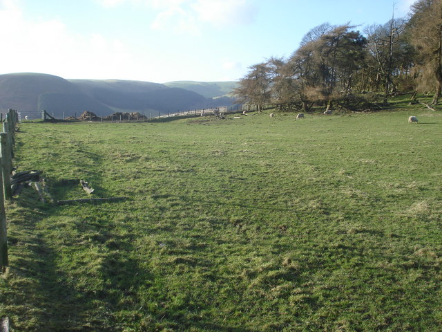
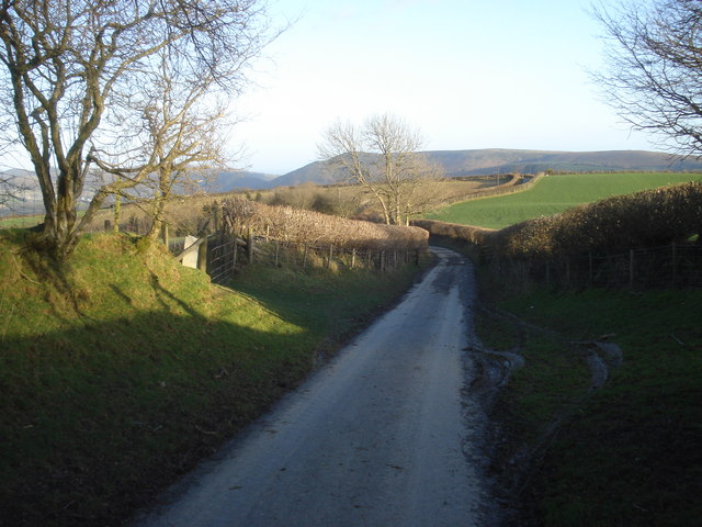
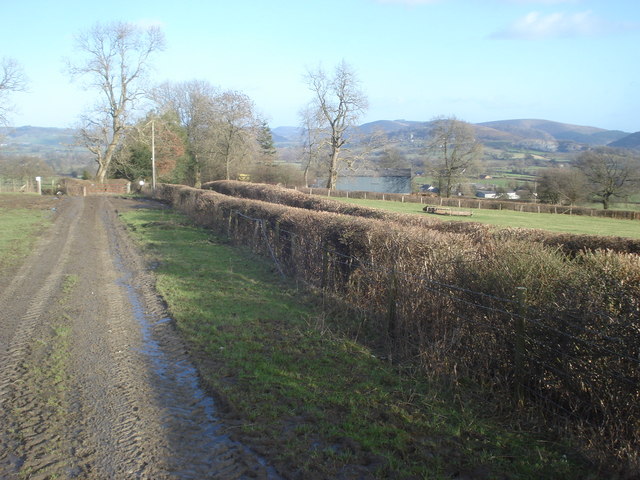
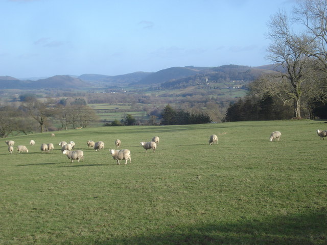
Pentre Woods, located in Radnorshire, is a picturesque woodland area renowned for its natural beauty and rich biodiversity. Covering an expanse of approximately 500 acres, this woodland is a haven for nature enthusiasts and outdoor lovers alike.
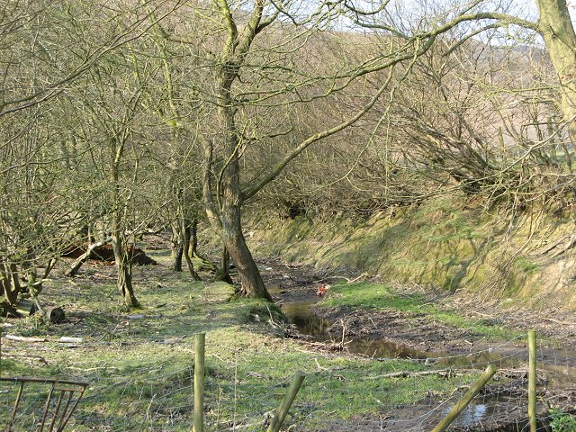
The woods are predominantly composed of broadleaf trees, including oak, beech, and birch, which create a stunning canopy of greenery. The dense foliage provides a habitat for a variety of wildlife, including deer, foxes, badgers, and a multitude of bird species. Birdwatchers will be delighted to spot species such as woodpeckers, owls, and thrushes.
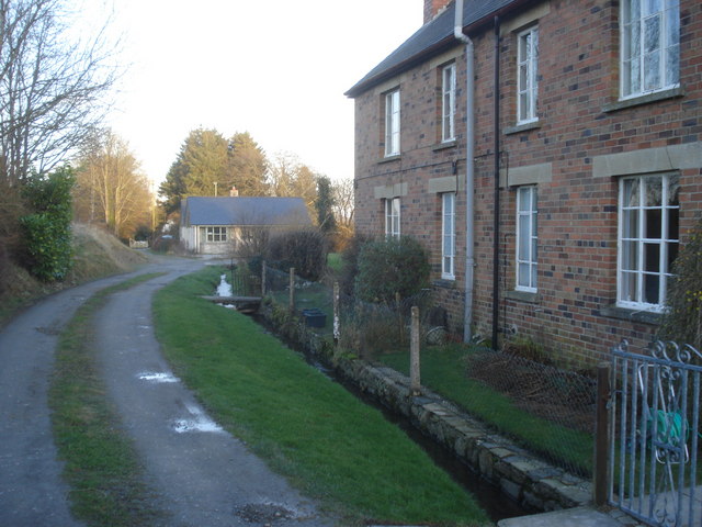
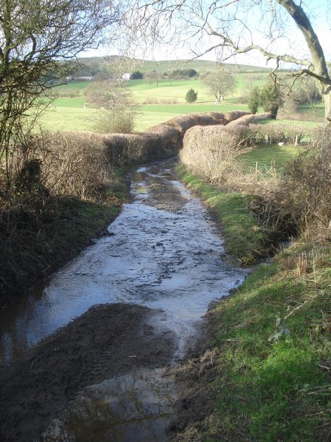
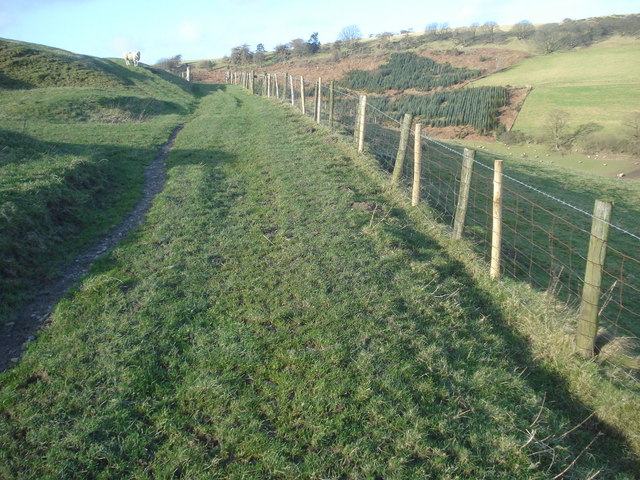
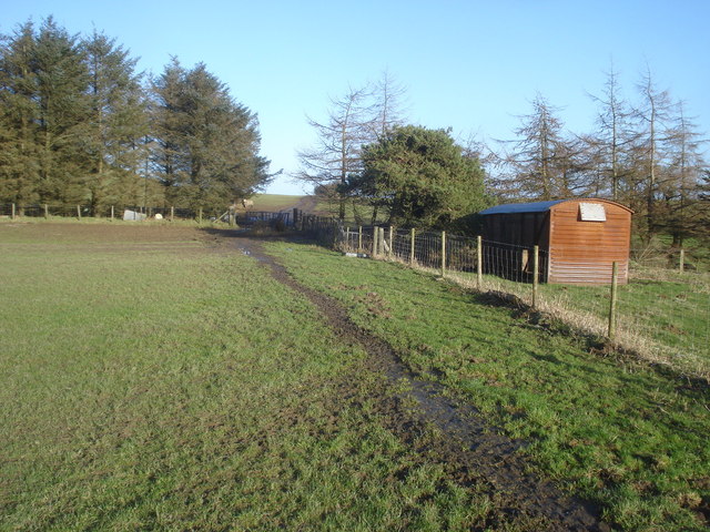
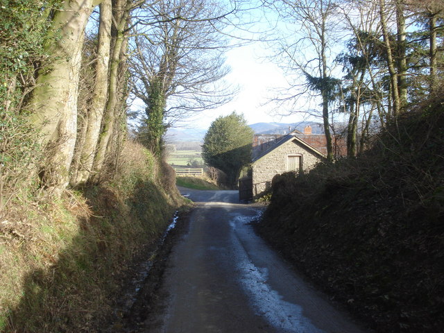
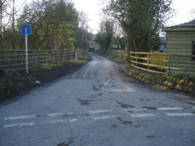
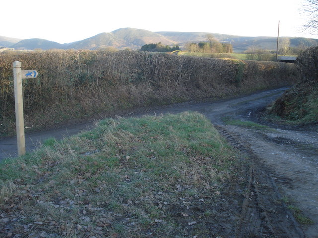
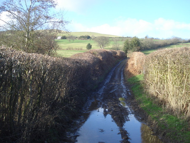
Traversing through Pentre Woods, visitors will discover a network of well-maintained footpaths and trails, allowing for leisurely walks or more challenging hikes. The forest paths wind their way through the trees, offering glimpses of serene streams and small ponds dotted throughout the woodland.
For those with an interest in history, Pentre Woods has some intriguing archaeological features. The remains of an ancient hill fort, dating back to the Iron Age, can be found within the woods. This provides a fascinating insight into the area's past and offers visitors a chance to connect with the region's rich cultural heritage.
Pentre Woods is a popular destination for nature photography, providing ample opportunities for capturing stunning landscapes and close-ups of woodland creatures. It is also a favored spot for picnickers, with several designated picnic areas offering peaceful settings to enjoy a meal amidst the tranquility of the forest.
Overall, Pentre Woods in Radnorshire is a natural gem, offering a sanctuary of peace and beauty for visitors seeking a respite from the hustle and bustle of daily life.
If you have any feedback on the listing, please let us know in the comments section below.
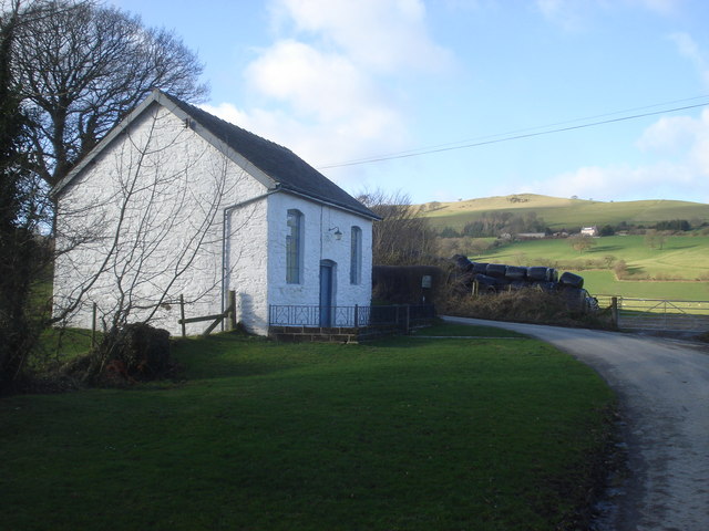
Pentre Woods Images
Images are sourced within 2km of 52.216637/-3.1452494 or Grid Reference SO2158. Thanks to Geograph Open Source API. All images are credited.
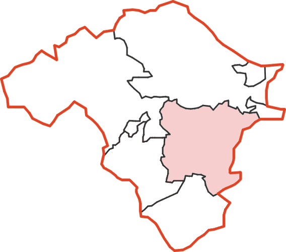
Pentre Woods is located at Grid Ref: SO2158 (Lat: 52.216637, Lng: -3.1452494)
Unitary Authority: Powys
Police Authority: Dyfed Powys
What 3 Words
///sues.managers.awesome. Near Kington, Herefordshire
Nearby Locations
Related Wikis

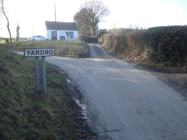
Yardro
Yardro (Welsh: Yr Ardro) is a hamlet in Powys, Wales, in the historic county of Radnorshire. The nearest significant towns are Kington, Herefordshire...

New Radnor railway station
New Radnor railway station was a station in New Radnor, Powys, Wales. The terminus station opened in 1875 and closed in 1951. The Kington and Eardisley...

Radnor Valley F.C.
Radnor Valley Football Club is a Welsh football team based in New Radnor, Presteigne. The team currently play in the Ardal NE, which is at the third tier...
New Radnor Rural District
New Radnor was, from 1894 to 1974, a rural district in the administrative county of Radnorshire, Wales. The district was formed by the Local Government...
Nearby Amenities
Located within 500m of 52.216637,-3.1452494Have you been to Pentre Woods?
Leave your review of Pentre Woods below (or comments, questions and feedback).