Coed yr Ellyn

Wood, Forest in Monmouthshire

Wales

Coed yr Ellyn

Ordnance Survey Cut Mark This OS cut mark can be found on the wall of No36 High Street. It marks a point 113.300m above mean sea level.
Ordnance Survey Cut Mark Credit: Adrian Dust

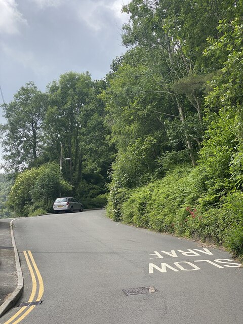
Coed yr Ellyn is a picturesque woodland located in Monmouthshire, Wales. Covering an area of approximately 40 hectares, this ancient forest is characterized by its diverse range of tree species, including oak, beech, ash, and yew. The woodland is situated on a steep hillside, offering visitors stunning views of the surrounding countryside.

Coed yr Ellyn is a popular destination for nature lovers and outdoor enthusiasts, with a network of walking trails that allow visitors to explore the forest at their own pace. The woodland is home to a variety of wildlife, including deer, squirrels, and a wide array of bird species.

In addition to its natural beauty, Coed yr Ellyn also has a rich cultural history, with evidence of prehistoric settlement and ancient mining activities found within the forest. The woodland is managed by the Woodland Trust, which works to preserve and protect this valuable natural resource for future generations to enjoy.

Overall, Coed yr Ellyn is a tranquil and scenic woodland that offers visitors a peaceful escape from the hustle and bustle of everyday life.

If you have any feedback on the listing, please let us know in the comments section below.

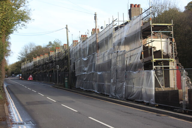
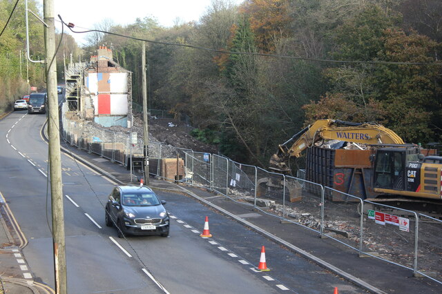
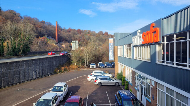
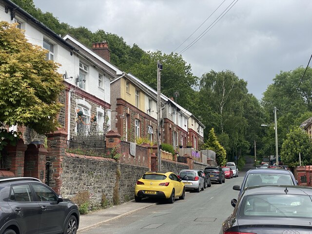
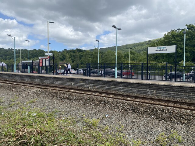
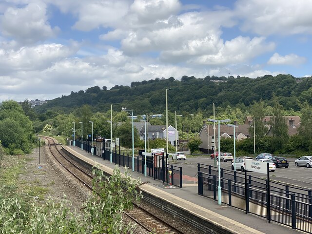
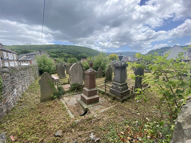
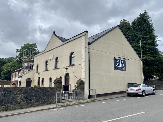
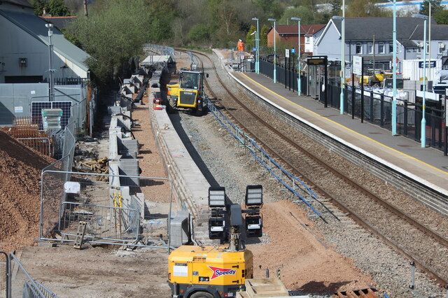
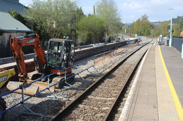
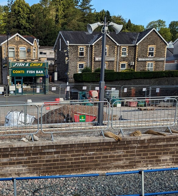
Coed yr Ellyn Images

Images are sourced within 2km of 51.666071/-3.1330447 or Grid Reference ST2196. Thanks to Geograph Open Source API. All images are credited.

Ordnance Survey Cut Mark This OS cut mark can be found on the wall of No36 High Street. It marks a point 113.300m above mean sea level.
Ordnance Survey Cut Mark
This OS cut mark can be found on the wall of No36 High Street. It marks a point 113.300m above mean sea level.
Ordnance Survey Cut Mark This OS cut mark can be found on the mortuary at Abercarn Cemetery. It marks a point 171.724m above mean sea level.
Ordnance Survey Cut Mark
This OS cut mark can be found on the mortuary at Abercarn Cemetery. It marks a point 171.724m above mean sea level.
Ordnance Survey Cut Mark This OS cut mark can be found on the gatepost of Abercarn Cemetery on Cemetery Road. It marks a point 195.499m above mean sea level.
Ordnance Survey Cut Mark
This OS cut mark can be found on the gatepost of Abercarn Cemetery on Cemetery Road. It marks a point 195.499m above mean sea level.
Demolition site, Hafod-yr-Ynys Road A row of houses has begun to be demolished because of the high concentration of nitrogen dioxide in the air. The remaining houses on Woodside Terrace, all purchased by Caerphilly Council, will all be demolished
Demolition site, Hafod-yr-Ynys Road
A row of houses has begun to be demolished because of the high concentration of nitrogen dioxide in the air. The remaining houses on Woodside Terrace, all purchased by Caerphilly Council, will all be demolished
Houses ready for demolition, Hafod-yr-Ynys Road Row of terraced houses due to be demolished because of the high concentration of nitrogen dioxide in the air in the 'street canyon' in the valley. The green cabinet next to the telegraph pole houses the monitor of air pollutants.
Houses ready for demolition, Hafod-yr-Ynys Road
Row of terraced houses due to be demolished because of the high concentration of nitrogen dioxide in the air in the 'street canyon' in the valley. The green cabinet next to the telegraph pole houses the monitor of air pollutants.
House demolition site, Hafod-yr-Ynys Road All the houses on Woodside Terrace, purchased by Caerphilly Council, will be demolished because of severe air pollution on this busy cross-valley A road.
House demolition site, Hafod-yr-Ynys Road
All the houses on Woodside Terrace, purchased by Caerphilly Council, will be demolished because of severe air pollution on this busy cross-valley A road.
Sofa Sofa Looking towards the A467 at Crumlin from the furniture retailer's showroom.
Sofa Sofa
Looking towards the A467 at Crumlin from the furniture retailer's showroom.
Coed Moelfa Road
Coed Moelfa Road
Housing in Abercarn
Housing in Abercarn
Newbridge Railway Station
Shops in Victoria Terrace, Newbridge
Beulah Baptist Cemetery in Newbridge
KLA Dance Studio Formerly Beulah Baptist Church, Newbridge.
KLA Dance Studio
Formerly Beulah Baptist Church, Newbridge.
Construction of platform, Newbridge Railway Station New platform, west rail, prior to dualling of the Ebbw Valley line between Crosskeys and Aberbeeg; the line was closed for a week for works at various places along the line. Compare with view in June 2022 - <a href="https://www.geograph.org.uk/photo/7200007">ST2196 : Newbridge Railway Station</a>.
Construction of platform, Newbridge Railway Station
New platform, west rail, prior to dualling of the Ebbw Valley line between Crosskeys and Aberbeeg; the line was closed for a week for works at various places along the line. Compare with view in June 2022 - ST2196 : Newbridge Railway Station.
Construction work at Newbridge Railway Station A new platform is being built <a href="https://www.geograph.org.uk/photo/7473016">ST2196 : Construction of platform, Newbridge Railway Station</a> ready for dualling of part of the Ebbw Valley line
Construction work at Newbridge Railway Station
A new platform is being built ST2196 : Construction of platform, Newbridge Railway Station ready for dualling of part of the Ebbw Valley line
Conti Fish Bar, High Street, Newbridge Fish & chips shop viewed from Newbridge railway station in July 2023.
Conti Fish Bar, High Street, Newbridge
Fish & chips shop viewed from Newbridge railway station in July 2023.
Blue marked part of Newbridge railway station car park Reserved for the vehicles of Blue Badge holders.
Blue marked part of Newbridge railway station car park
Reserved for the vehicles of Blue Badge holders.
Show me another place!

Coed yr Ellyn is located at Grid Ref: ST2196 (Lat: 51.666071, Lng: -3.1330447)

Unitary Authority: Caerphilly

Police Authority: Gwent

What 3 Words

///mastering.galleries.conspired. Near Newbridge, Caerphilly

Related Wikis

Newbridge, Caerphilly

Newbridge (Welsh: Trecelyn) is a town and community in the county borough of Caerphilly, south Wales. It lies within the historic boundaries of the county...

Pwll-y-Pant railway station

Pwll-y-Pant railway station served the suburb of Pwll-y-Pant, in the historical county of Glamorgan, Wales, from 1871 to 1893 on the Rhymney Railway....

Newbridge railway station (Wales)

Newbridge railway station (Welsh: Trecelyn) is on the Ebbw Valley Railway and serves the towns of Newbridge and Blackwood in south east Wales. The current...

Celynen North Halt railway station

Celynen North Halt railway station served the town of Abercarn, in the historical county of Glamorganshire, from 1936 to 1962 on the Monmouthshire Railway...

Nearby Amenities

Located within 500m of 51.666071,-3.1330447
Spar
Brand: Spar
Brand Wikidata: Q610492
Shop: convenience
Website: https://www.spar.co.uk/store-locator/afb28084-spar-newbridge/
Wheelchair: limited
Lat/Long: 51.6694774/-3.135075
Fast Food
King Kebab
Cuisine: kebab
Lat/Long: 51.6693709/-3.1351179
Post Box
Lat/Long: 51.6694308/-3.1352252
Turning Circle
Hilltop Crescent
Lat/Long: 51.6696541/-3.1361382
Direction: 215
Generator Method: photovoltaic
Generator Output Electricity: yes
Generator Solar Modules: 8
Generator Source: solar
Generator Type: solar_photovoltaic_panel
Location: roof
Note: module count uncertain
Power: generator
Lat/Long: 51.6695154/-3.1334531
Direction: SE
Generator Method: photovoltaic
Generator Output Electricity: yes
Generator Solar Modules: 12
Generator Source: solar
Generator Type: solar_photovoltaic_panel
Location: roof
Power: generator
Lat/Long: 51.6699851/-3.1318653
Direction: SE
Generator Method: photovoltaic
Generator Output Electricity: yes
Generator Solar Modules: 4
Generator Source: solar
Generator Type: solar_photovoltaic_panel
Location: roof
Power: generator
Lat/Long: 51.6647559/-3.1387538
Direction: SE
Generator Method: photovoltaic
Generator Output Electricity: yes
Generator Solar Modules: 4
Generator Source: solar
Generator Type: solar_photovoltaic_panel
Location: roof
Power: generator
Lat/Long: 51.6647544/-3.138843
Direction: SE
Generator Method: photovoltaic
Generator Output Electricity: yes
Generator Solar Modules: 18
Generator Source: solar
Generator Type: solar_photovoltaic_panel
Location: roof
Power: generator
Lat/Long: 51.664796/-3.138772
Direction: 170
Generator Method: photovoltaic
Generator Output Electricity: yes
Generator Solar Modules: 12
Generator Source: solar
Generator Type: solar_photovoltaic_panel
Location: roof
Power: generator
Lat/Long: 51.6700617/-3.1341398
Direction: 170
Generator Method: photovoltaic
Generator Output Electricity: yes
Generator Solar Modules: 12
Generator Source: solar
Generator Type: solar_photovoltaic_panel
Location: roof
Power: generator
Lat/Long: 51.6700675/-3.1340392
Direction: S
Generator Method: photovoltaic
Generator Output Electricity: yes
Generator Solar Modules: 12
Generator Source: solar
Generator Type: solar_photovoltaic_panel
Location: roof
Power: generator
Lat/Long: 51.6702962/-3.1346065
Direction: SSE
Generator Method: photovoltaic
Generator Output Electricity: yes
Generator Solar Modules: 14
Generator Source: solar
Generator Type: solar_photovoltaic_panel
Location: roof
Power: generator
Lat/Long: 51.6701665/-3.1335846
Direction: SSE
Generator Method: photovoltaic
Generator Output Electricity: yes
Generator Solar Modules: 14
Generator Source: solar
Generator Type: solar_photovoltaic_panel
Location: roof
Power: generator
Lat/Long: 51.6705499/-3.1333941
Direction: 165
Generator Method: photovoltaic
Generator Output Electricity: yes
Generator Solar Modules: 14
Generator Source: solar
Generator Type: solar_photovoltaic_panel
Location: roof
Power: generator
Lat/Long: 51.6704141/-3.1337317
Bus Stop
Newbridge School (S-bound)
Bus: yes
Naptan AtcoCode: 5540AWB33034
Public Transport: platform
Ref: cpydjt
Lat/Long: 51.6645227/-3.1398396
The data included in this document is from www.openstreetmap.org. The data is made available under ODbL.

Have you been to Coed yr Ellyn?

Leave your review of Coed yr Ellyn below (or comments, questions and feedback).