Castle Wood
Wood, Forest in Flintshire
Wales
Castle Wood
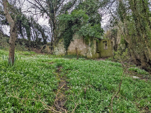
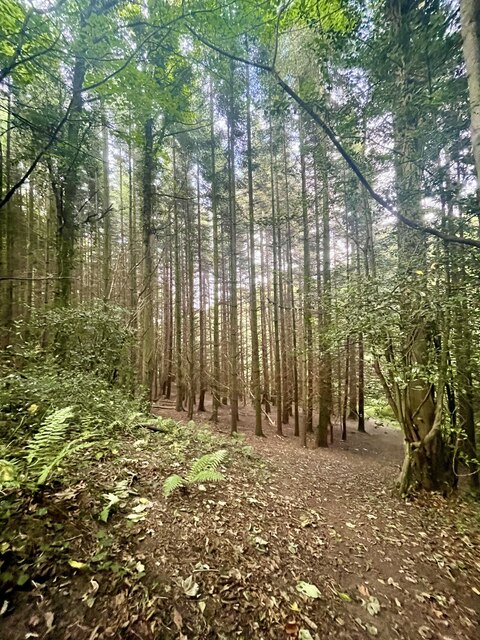
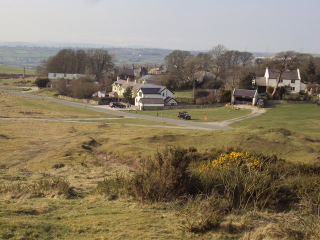
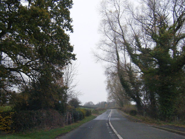
Castle Wood is a picturesque forest located in Flintshire, a county in northeast Wales. Covering an area of approximately 300 acres, it is known for its lush greenery, diverse wildlife, and historical significance. The wood is situated near the village of Wood, which lends its name to this enchanting natural haven.
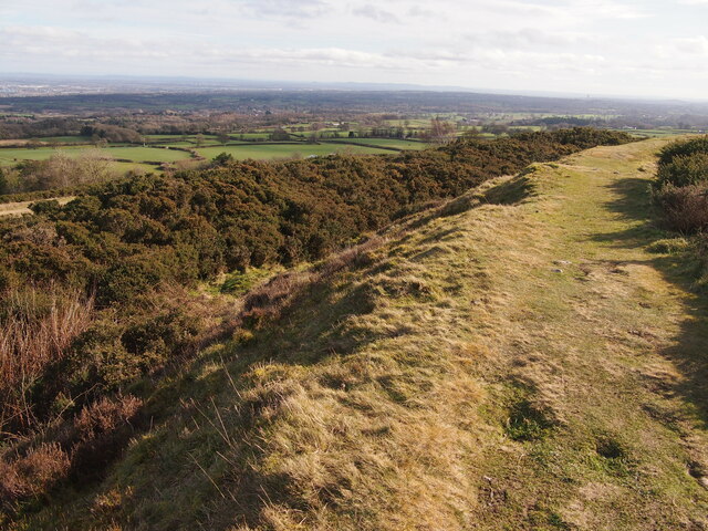
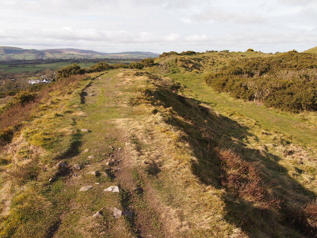
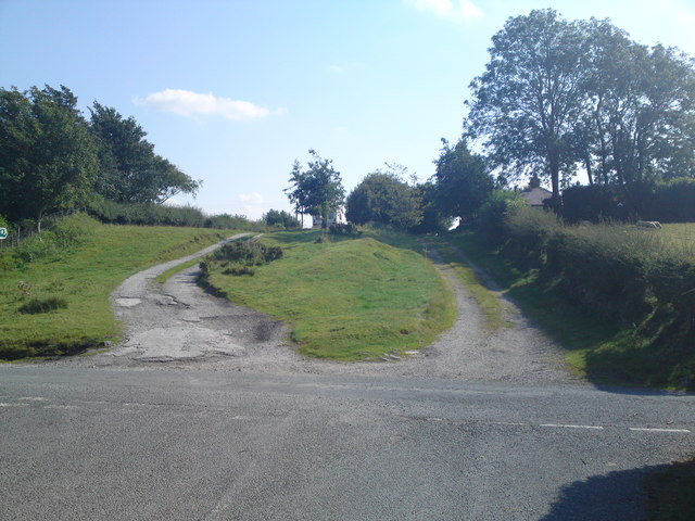
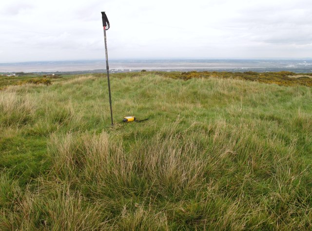
The forest boasts a rich variety of tree species, including oak, beech, and birch, creating a stunning canopy that provides shade and shelter. Walking trails wind through the wood, allowing visitors to explore and admire its beauty at their own pace. The tranquil atmosphere and peaceful ambience make it a popular destination for nature lovers and hikers.
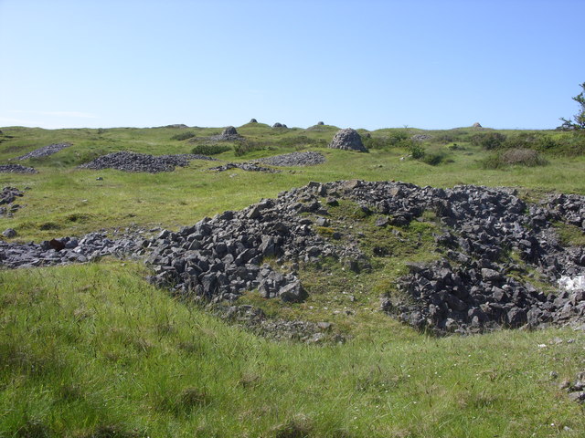
Aside from its natural allure, Castle Wood also holds historical significance. The remains of an ancient fortification, dating back to the Iron Age, can be found within the forest. This historical site adds an air of mystery and intrigue to the wood, attracting history enthusiasts and archaeology buffs alike.
The wildlife in Castle Wood is abundant, with various species of birds, mammals, and insects calling it home. Birdwatchers can spot vibrant species such as woodpeckers, owls, and thrushes, while small mammals like foxes, badgers, and rabbits can be glimpsed among the trees. The wood is also home to a variety of butterflies, bees, and other insects, making it an ideal spot for insect enthusiasts and nature photographers.
In conclusion, Castle Wood in Flintshire offers a captivating blend of natural beauty and historical interest. Its lush forest, walking trails, and rich wildlife make it a must-visit destination for those seeking tranquility and a connection with nature.
If you have any feedback on the listing, please let us know in the comments section below.
Castle Wood Images
Images are sourced within 2km of 53.227525/-3.1775472 or Grid Reference SJ2170. Thanks to Geograph Open Source API. All images are credited.

Castle Wood is located at Grid Ref: SJ2170 (Lat: 53.227525, Lng: -3.1775472)
Unitary Authority: Flintshire
Police Authority: North Wales
What 3 Words
///rejects.calibrate.headline. Near Halkyn, Flintshire
Nearby Locations
Related Wikis

Halkyn Castle
Halkyn Castle (Welsh: Castell Helygain) is a mansion house in the village of Halkyn, Flintshire, Wales. The house, with its associated stable block, is...
Halkyn
Halkyn (Welsh: Helygain [heˈləgain]; Flintshire Welsh: Lygian [ˈləgjan]) is a village and community in Flintshire, north-east Wales and situated between...

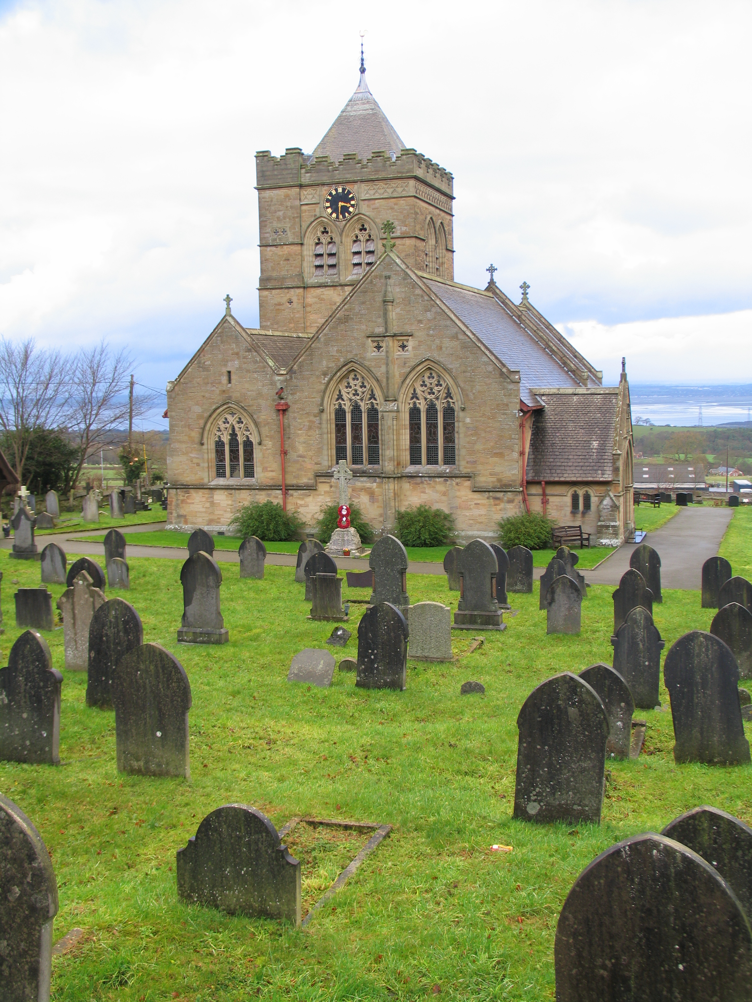
Church of St Mary the Virgin, Halkyn
The Church of St Mary the Virgin, Halkyn is to the north of the village of Halkyn, Flintshire, Wales. It is an active Anglican parish church in the diocese...

Milwr Tunnel
The Milwr Tunnel is a mine drainage adit running some 10 miles from the hamlet of Cadole near Loggerheads, Denbighshire to Bagillt on the Dee Estuary in...
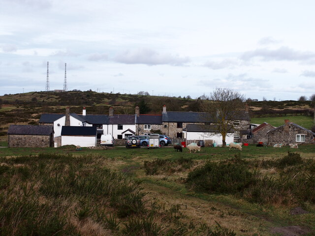
Nearby Amenities
Located within 500m of 53.227525,-3.1775472Have you been to Castle Wood?
Leave your review of Castle Wood below (or comments, questions and feedback).