Caemorgan
Settlement in Cardiganshire
Wales
Caemorgan
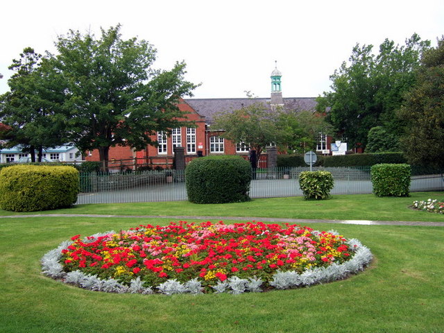
![Banc-y-Warren Parked in the village then walked up the main road to use track to the NW to access two gates to summit field with two horses.
Name: Banc y Warren
Hill number: 15488
Height:146m / 479ft
Parent (Ma/M): 2221 Rhos Ymryson
Section:31C: South-West Wales
County/UA: Cardiganshire [Ceredigion] (CoU)
Class: Tump (100-199m)
Grid ref:SN204475 (est)
Drop: 38m
Col:108m SN206476](https://s1.geograph.org.uk/geophotos/04/66/69/4666969_084ce3ba.jpg)
Caemorgan is a charming village located in the county of Cardiganshire, Wales. Situated in the western part of the country, Caemorgan offers stunning views of the lush countryside and is surrounded by rolling hills and picturesque landscapes. The village is nestled near the coast, providing easy access to beautiful sandy beaches and the sparkling waters of Cardigan Bay.
With a population of approximately 500 residents, Caemorgan maintains a close-knit and friendly community atmosphere. The village is known for its traditional Welsh culture and heritage, with many residents speaking both Welsh and English fluently. The local economy is primarily based on agriculture, with farming playing a significant role in the village's identity.
Caemorgan boasts a rich history, evident in its historic buildings and landmarks. One notable feature is the Caemorgan Mansion, a grand Georgian house that dates back to the 18th century. The mansion has been lovingly restored and now operates as a luxury country hotel, attracting visitors from near and far.
For outdoor enthusiasts, Caemorgan offers a range of activities, including hiking, cycling, and horse riding. The nearby coastline is ideal for water sports such as surfing, sailing, and fishing. Nature lovers can explore the surrounding countryside, which is teeming with wildlife and offers opportunities for birdwatching and nature walks.
The village is well-connected to larger towns and cities in the area, with good transportation links and access to amenities such as schools, shops, and healthcare facilities. Caemorgan provides a peaceful and idyllic retreat for those seeking a tranquil setting amidst the natural beauty of Wales.
If you have any feedback on the listing, please let us know in the comments section below.
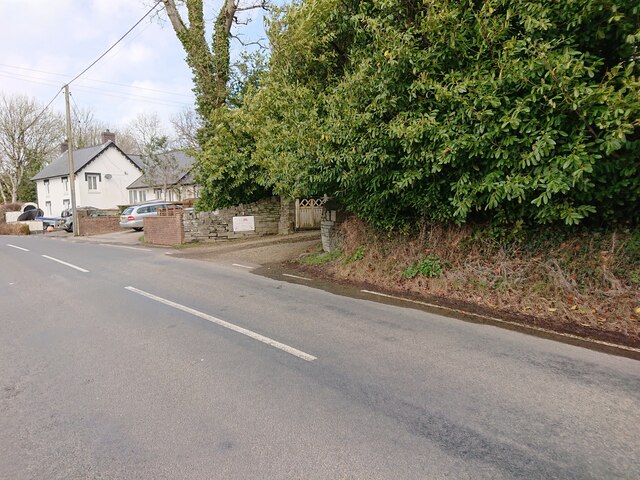
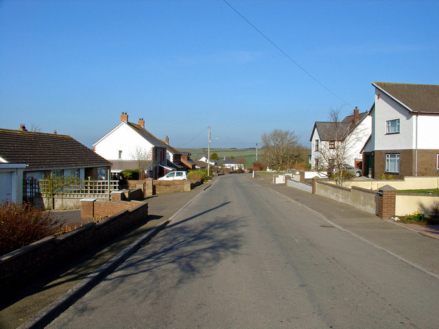
Caemorgan Images
Images are sourced within 2km of 52.091665/-4.6435063 or Grid Reference SN1947. Thanks to Geograph Open Source API. All images are credited.


Caemorgan is located at Grid Ref: SN1947 (Lat: 52.091665, Lng: -4.6435063)
Unitary Authority: Ceredigion
Police Authority: Dyfed Powys
What 3 Words
///shuttered.conjured.craftsmen. Near Cardigan, Ceredigion
Nearby Locations
Related Wikis
Caemorgan
Caemorgan is a road (Heol) in Ceredigion, Wales. It means Morgans Field and is the name of the road outside Cardigan off the A487. This road has a Mansion...

Ceibwr Bay Fault
The Ceibwr Bay Fault is a WSW-ENE trending fault zone that cuts Ordovician rocks of the Ashgill Nantmel Mudstones Formation and the Caradoc Dinas Island...
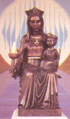
Our Lady of Cardigan
Our Lady of Cardigan (Welsh: Mair o Aberteifi), also known as Our Lady of the Taper, the Catholic national shrine of Wales, is a statue of the Blessed...
Ysgol Uwchradd Aberteifi
Ysgol Uwchradd Aberteifi, translated as Cardigan Secondary School is a bilingual secondary school in Cardigan, Ceredigion, Wales. It offers secondary education...
Cardigan and District Community Hospital
Cardigan and District Community Hospital (Welsh: Aberteifi a'r Cylch Ysbyty Cymunedol) was a community hospital in Cardigan, Ceredigion, Wales. It was...

Cardigan, Ceredigion
Cardigan (Welsh: Aberteifi, pronounced [abɛrˈtəivɪ] ) is both a town and a community in the county of Ceredigion, Wales. Positioned on the tidal reach...
Cardigan Priory
Cardigan Priory (formally: The Priory Church of Our Lady of Cardigan; alternative: Cardigan Cell) was a Benedictine priory located in Cardigan, Ceredigion...

St Mary's Church, Cardigan
St Mary's Church is an Anglican church located in Cardigan, Ceredigion, Wales. In 1428, with the disappearance of Holy Trinity Church, St Mary's formally...
Nearby Amenities
Located within 500m of 52.091665,-4.6435063Have you been to Caemorgan?
Leave your review of Caemorgan below (or comments, questions and feedback).