Llwynberried Plantation

Wood, Forest in Brecknockshire

Wales

Llwynberried Plantation

Steep hill and bungalow Overlooking the Wye Valley between Hay and Glasbury.
Steep hill and bungalow Credit: Jonathan Billinger

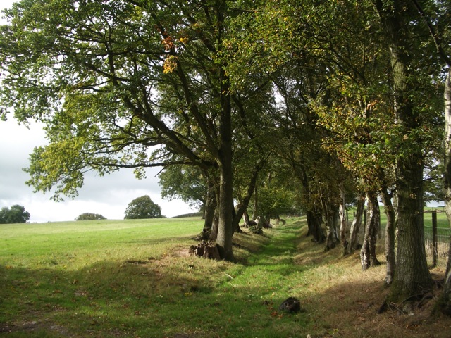
Llwynberried Plantation is a picturesque woodland located in the county of Brecknockshire, Wales. Situated amidst the stunning natural beauty of the Brecon Beacons National Park, this plantation covers a vast area and is renowned for its rich biodiversity and tranquil ambiance.

The woodland is primarily composed of native tree species such as oak, beech, and ash, which further enhance its natural appeal. These trees provide shelter to a wide range of wildlife, including various bird species, small mammals, and insects, making it a popular spot for nature enthusiasts and birdwatchers.

Llwynberried Plantation offers visitors a network of well-maintained walking trails, allowing them to explore the woodland at their own pace. The paths wind through the trees, offering glimpses of the stunning landscape and providing opportunities for peaceful walks and hikes. Moreover, the plantation is known for its accessibility, with some trails suitable for wheelchair users and families with young children.

In addition to its natural beauty, Llwynberried Plantation also boasts historical significance. The woodland is believed to have been established centuries ago, with remnants of ancient structures and artifacts found within its boundaries. This adds an air of mystery and intrigue to the plantation, making it a fascinating destination for history enthusiasts.

Overall, Llwynberried Plantation in Brecknockshire offers visitors a captivating blend of natural beauty, wildlife, and historical charm. Whether one seeks a peaceful retreat in nature or wishes to delve into the past, this woodland is sure to leave a lasting impression on all who visit.

If you have any feedback on the listing, please let us know in the comments section below.

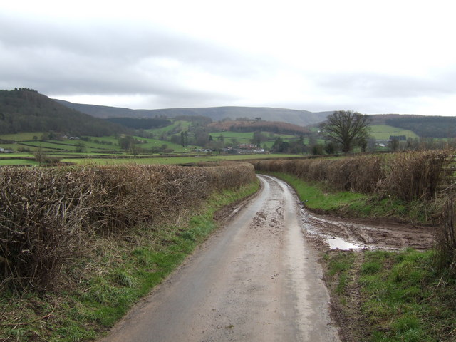
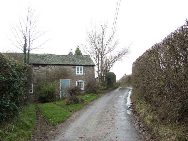
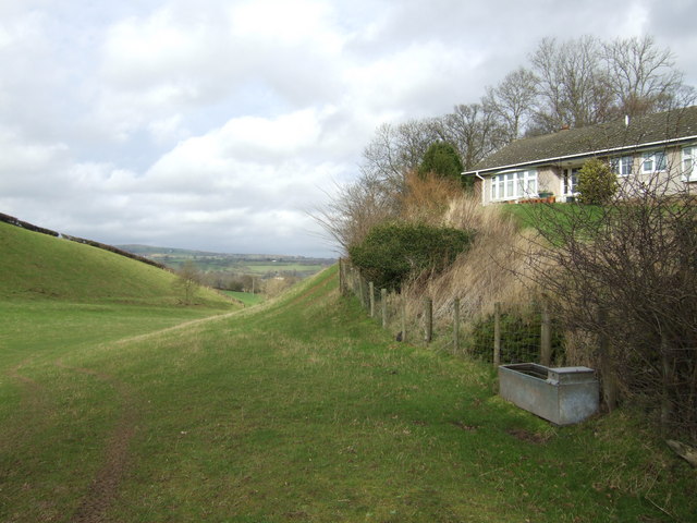
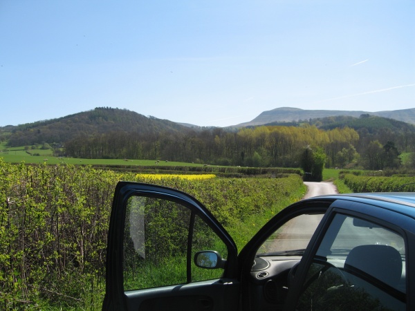
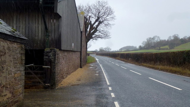
Llwynberried Plantation Images

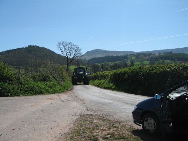
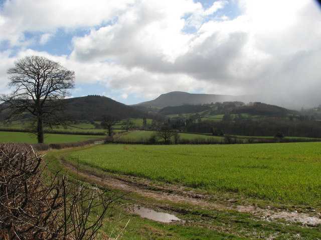
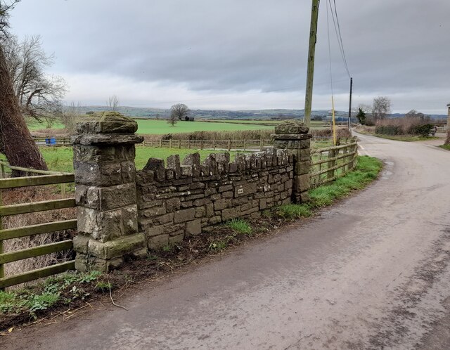
Images are sourced within 2km of 52.039169/-3.159573 or Grid Reference SO2038. Thanks to Geograph Open Source API. All images are credited.

Steep hill and bungalow Overlooking the Wye Valley between Hay and Glasbury.
Steep hill and bungalow
Overlooking the Wye Valley between Hay and Glasbury.
Foothills of the Black Mountains This lane leads the eye over the 1000' foothills to the Black Mountain scarp overlooking the Wye valley. Rhos Dirion, flat-topped, in the distance, is over 2300'
Foothills of the Black Mountains
This lane leads the eye over the 1000' foothills to the Black Mountain scarp overlooking the Wye valley. Rhos Dirion, flat-topped, in the distance, is over 2300'
Cottage at Heol-y-gaer By the lane heading west towards Glasbury.
Cottage at Heol-y-gaer
By the lane heading west towards Glasbury.
Bungalow with a fine view Over the rolling foothills of the Black Mountains.
Bungalow with a fine view
Over the rolling foothills of the Black Mountains.
Mechanical Contours in Landscape Looking south into the Black Mountains of South-east Wales
Mechanical Contours in Landscape
Looking south into the Black Mountains of South-east Wales
Discretion vs Valour... Tractor from Tregoyd meets tourists from Big City...
Hay Bluff (676 metres) on left and Lord Hereford's Knob (690 metres) on right, lie not quite 3 miles distant.
Discretion vs Valour...
Tractor from Tregoyd meets tourists from Big City... Hay Bluff (676 metres) on left and Lord Hereford's Knob (690 metres) on right, lie not quite 3 miles distant.
Footpath near Tiruched Farm A walk in winter.
Footpath near Tiruched Farm
A walk in winter.
Winter near Little Lodge Farm View towards Felindre and Mynydd Troed in the distance.
Winter near Little Lodge Farm
View towards Felindre and Mynydd Troed in the distance.
Blustery winter weather over the Brecknock countryside View towards Lord Hereford's Knob as a squall approaches through the winter sunshine
Blustery winter weather over the Brecknock countryside
View towards Lord Hereford's Knob as a squall approaches through the winter sunshine
Ordnance Survey Rivet This damaged OS rivet can be found on the SE parapet of Pont Cwrt-yr-argoed. It marks a point 154.765m above mean sea level.
Ordnance Survey Rivet
This damaged OS rivet can be found on the SE parapet of Pont Cwrt-yr-argoed. It marks a point 154.765m above mean sea level.
Tregoed Bridge
Tregoed Bridge
B4350 near Ffordd-fawr
Passing Ffordd Fawr Farm
Sheep Farming near Glasbury
The road to Hay The B4350 heads towards Hay-on-Wye.
The road to Hay
The B4350 heads towards Hay-on-Wye.
Track to farm buildings Track to farm buildings near Tregoyd.
Track to farm buildings
Track to farm buildings near Tregoyd.
Freshly cut field, Tregoyd A very recently mown field near Tregoyd House.  To the right is an elder in flower.
Freshly cut field, Tregoyd
A very recently mown field near Tregoyd House. To the right is an elder in flower.
B4350 at Ffordd fawr Ffordd fawr is a large farm in the wye valley.
looking north-east towards Hay.
B4350 at Ffordd fawr
Ffordd fawr is a large farm in the wye valley. looking north-east towards Hay.
Show me another place!

Llwynberried Plantation is located at Grid Ref: SO2038 (Lat: 52.039169, Lng: -3.159573)

Unitary Authority: Powys

Police Authority: Dyfed Powys

What 3 Words

///torso.gosh.employers. Near Hay, Powys

Related Wikis

Llanigon

Llanigon is a village and community in Powys, Wales on the edge of the Brecon Beacons National Park, north of the Black Mountains, Wales. The community...

Gwernyfed

Gwernyfed is a community in Powys, Wales, centred on the village of Aberllynfi. It takes its name from Gwernyfed Park, a medieval deer park within the...

Glasbury-on-Wye railway station

Glasbury-on-Wye railway station was a station at Glasbury, Powys, Wales. The station closed in 1962.During the station's life it was in Breconshire, whereas...

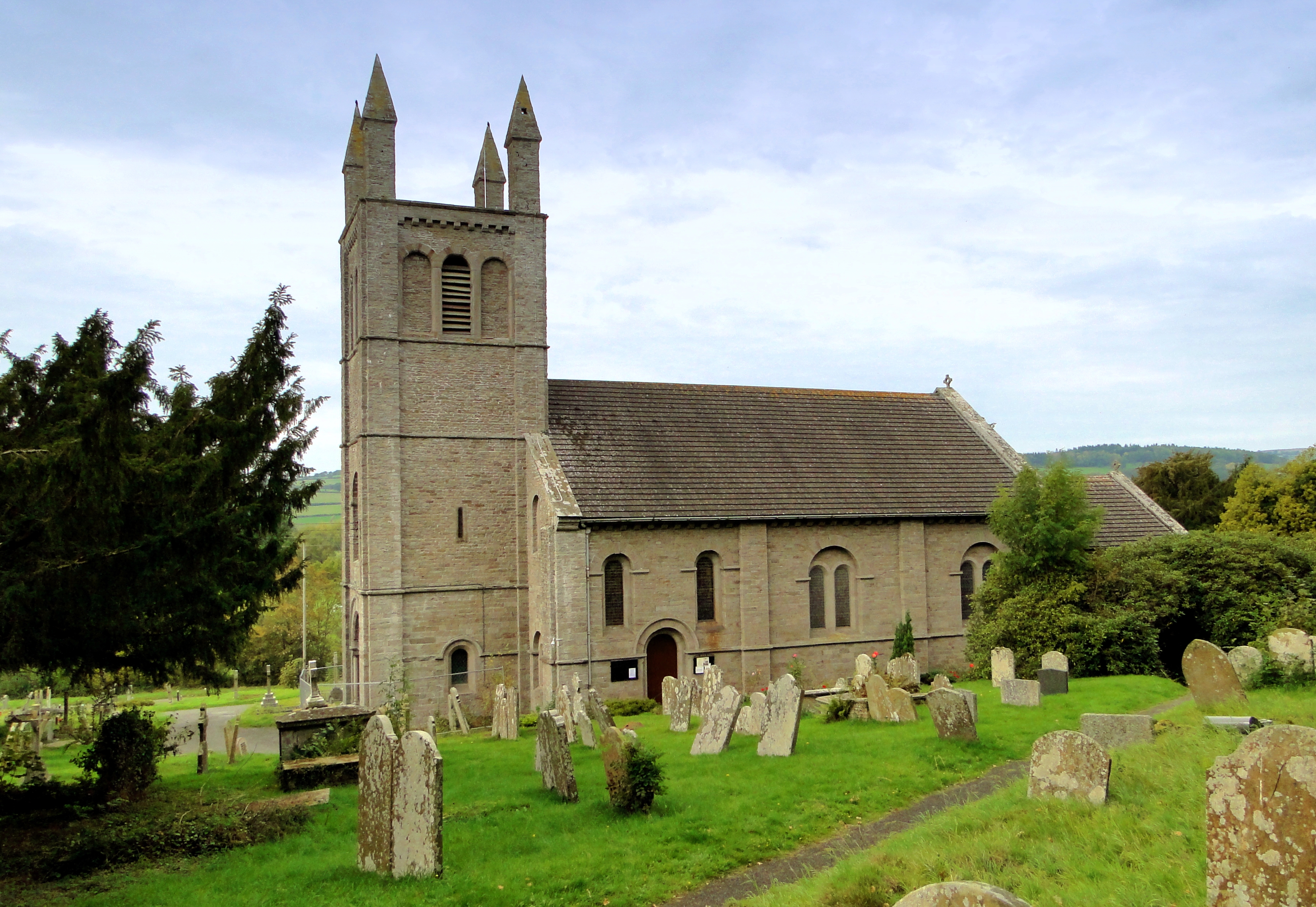
St Peter's Church, Glasbury

The Church of St Peter (and St Cynidr) is located outside the Welsh village of Glasbury and dates back to the sixth century. Near the confluence of the...

Nearby Amenities

Located within 500m of 52.039169,-3.159573
Post Box
Post Box Type: wall
Ref: HR3 75
Royal Cypher: VR
Royal Cypher Wikidata: Q33102356
Lat/Long: 52.0427564/-3.1617753
Ffordd-las
Name Cy: Ffordd-las
Place: village
Lat/Long: 52.0432193/-3.1611789
The data included in this document is from www.openstreetmap.org. The data is made available under ODbL.

Have you been to Llwynberried Plantation?

Leave your review of Llwynberried Plantation below (or comments, questions and feedback).