Cae-llea
Settlement in Montgomeryshire
Wales
Cae-llea
The requested URL returned error: 429 Too Many Requests
If you have any feedback on the listing, please let us know in the comments section below.
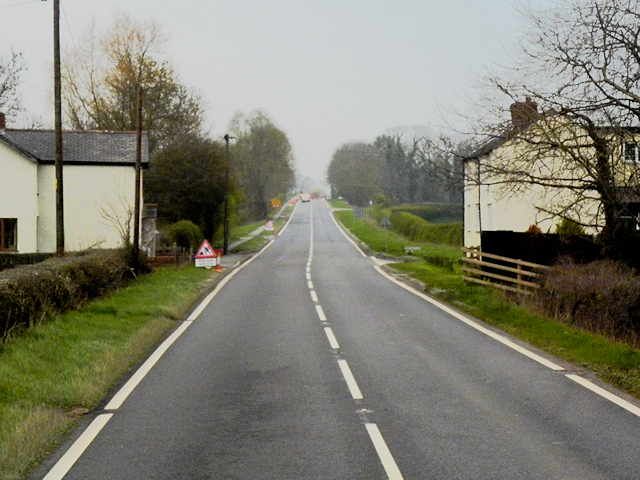
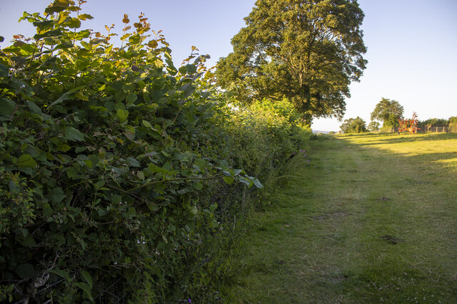
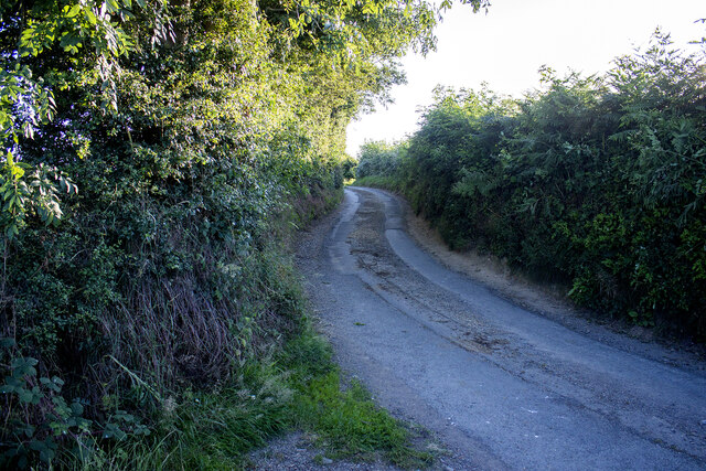
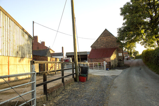
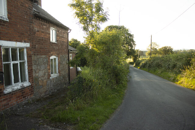
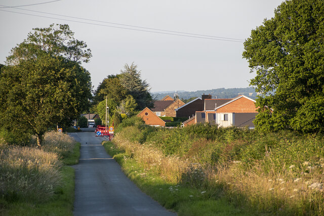
Cae-llea Images
Images are sourced within 2km of 52.733047/-3.123288 or Grid Reference SJ2415. Thanks to Geograph Open Source API. All images are credited.


Cae-llea is located at Grid Ref: SJ2415 (Lat: 52.733047, Lng: -3.123288)
Unitary Authority: Powys
Police Authority: Dyfed Powys
Also known as: Cae-Llea
What 3 Words
///washable.ferried.crisper. Near Four Crosses, Powys
Related Wikis

Holy Trinity Church, Penrhos
Holy Trinity Church is a church in the valley of Penrhos, Powys, Wales. The present church was built in 1845 to a design by Sydney Smirke, as a replacement...

Arddlin
Arddlin (Welsh: Arddlîn) or Arddleen is a village in Powys, central Wales. It lies about 5 miles north of Welshpool, in the community of Llandrinio. It...
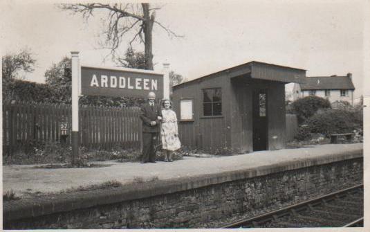
Arddleen railway station
Arddleen railway station served the village of Arddlin in Powys, Wales, sited on the former Cambrian Railways between Oswestry and Welshpool. Served by...
Burgedin
Burgedin is a village in Powys, Wales. The Montgomery Canal passes through the village. == External links == Photos of Burgedin and surrounding area on...
Nearby Amenities
Located within 500m of 52.733047,-3.123288Have you been to Cae-llea?
Leave your review of Cae-llea below (or comments, questions and feedback).