Caeffynnon
Settlement in Cardiganshire
Wales
Caeffynnon

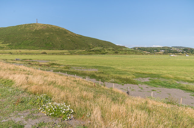
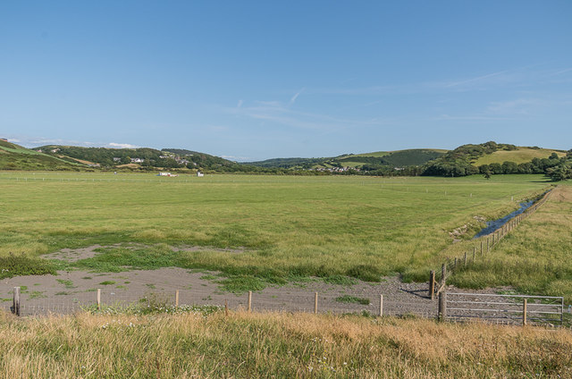
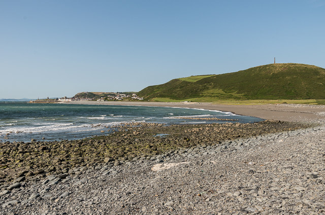
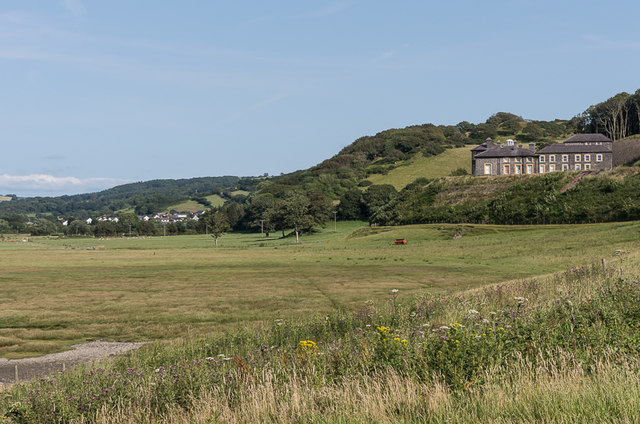
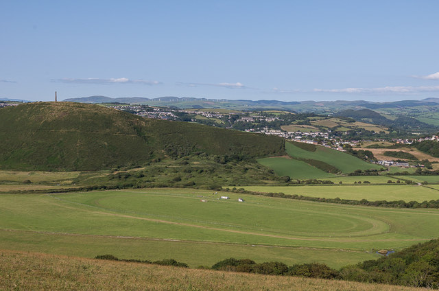
Caeffynnon is a small village located in the county of Cardiganshire, Wales. Situated in the picturesque countryside, it is surrounded by rolling hills and lush green fields. The village is part of the rural community of Ceredigion, known for its stunning natural beauty and rich history.
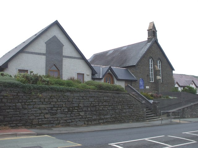
Caeffynnon is home to a close-knit community, with a population of around 200 residents. The village has a quaint and peaceful atmosphere, offering a serene escape from the hustle and bustle of city life. Many of the houses in Caeffynnon are traditional stone cottages, adding to the charm and character of the area.
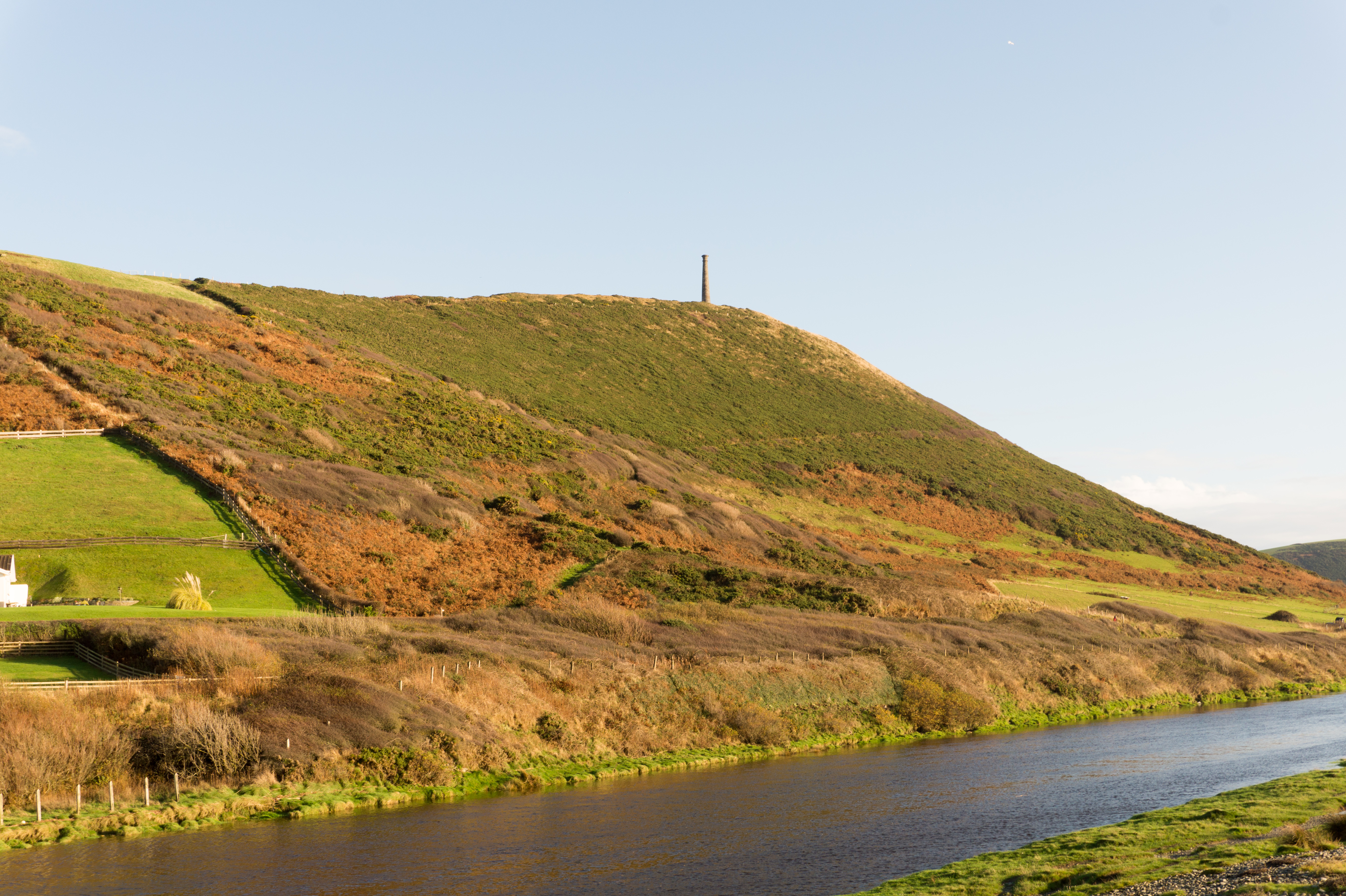
The village is blessed with an abundance of natural wonders, including the nearby River Teifi, which flows through the heart of Cardiganshire. The river provides opportunities for fishing, boating, and scenic walks along its banks. The surrounding countryside offers ample opportunities for outdoor activities such as hiking, cycling, and horse riding.
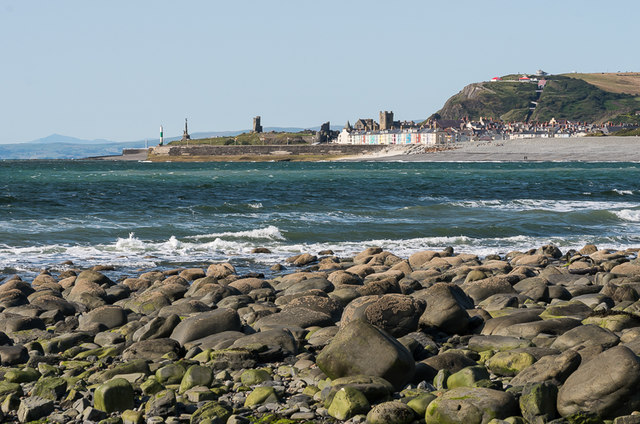
Caeffynnon is also within close proximity to several notable attractions. Just a short drive away is the historic town of Cardigan, which boasts a medieval castle and a range of shops, restaurants, and cafes. The stunning coastline of Cardiganshire is easily accessible, offering beautiful sandy beaches and breathtaking coastal walks.
In summary, Caeffynnon is a charming village nestled in the picturesque countryside of Cardiganshire, Wales. With its serene atmosphere, natural beauty, and proximity to local attractions, it is an ideal place for those seeking a peaceful and idyllic rural lifestyle.
If you have any feedback on the listing, please let us know in the comments section below.
Caeffynnon Images
Images are sourced within 2km of 52.404987/-4.073877 or Grid Reference SN5980. Thanks to Geograph Open Source API. All images are credited.


Caeffynnon is located at Grid Ref: SN5980 (Lat: 52.404987, Lng: -4.073877)
Unitary Authority: Ceredigion
Police Authority: Dyfed Powys
What 3 Words
///seaweed.destined.marzipan. Near Penparcau, Ceredigion
Nearby Locations
Related Wikis

Penparcau F.C.
Penparcau Football Club are a Welsh football club from Penparcau, Ceredigion. They currently play in the Central Wales Southern Division, the fourth tier...
Penparcau
Penparcau is a village and electoral ward in Ceredigion, Wales, situated to the south of Aberystwyth. The village has the largest number of Welsh language...
Ysgol Gymraeg Aberystwyth
Ysgol Gymraeg Aberystwyth is a Welsh language primary school in the university town of Aberystwyth in Ceredigion, Wales. It was established as a private...
Pen Dinas
Pen Dinas is the name of a large hill within the boundary of the village of Penparcau, on the coast of Ceredigion, Wales, (just south of Aberystwyth)...
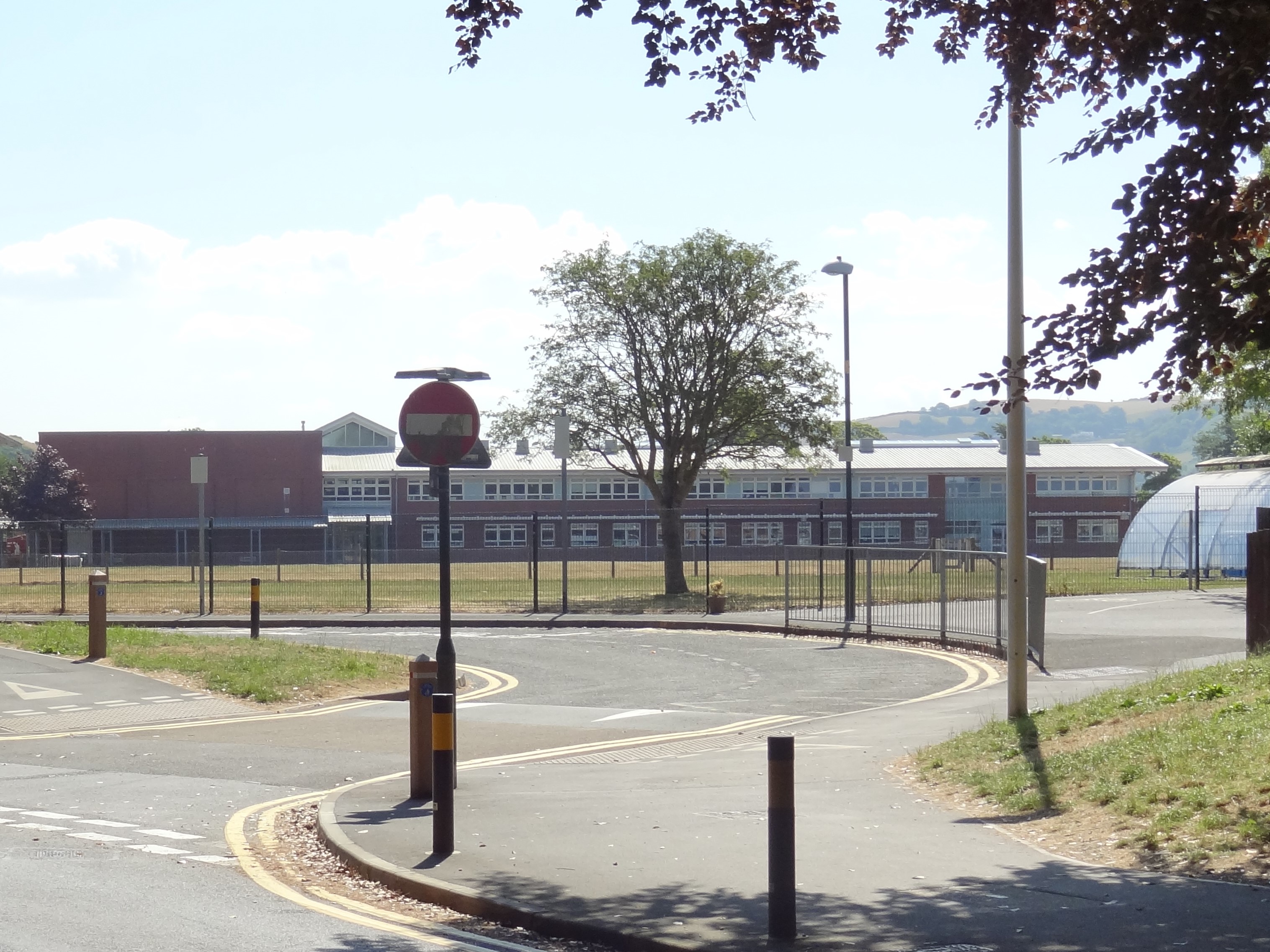
Ysgol Gyfun Gymunedol Penweddig
Ysgol Gyfun Gymunedol Penweddig (Penweddig Community Comprehensive School in English) is a Welsh-language, community comprehensive school situated in Llanbadarn...
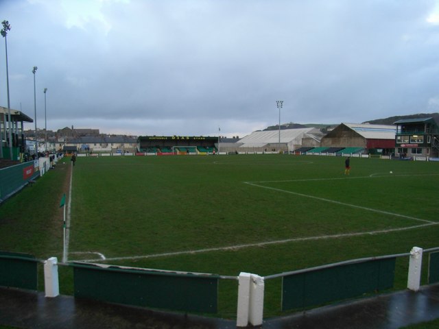
Park Avenue, Aberystwyth
Park Avenue (Welsh: Coedlen y Parc) currently called Aberystwyth University Stadium for sponsorship purposes, is a football stadium in Aberystwyth, Wales...
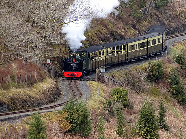
Vale of Rheidol Railway
The Vale of Rheidol Railway (Welsh: Rheilffordd Cwm Rheidol) is a 1 ft 11+3⁄4 in (603 mm) narrow gauge heritage railway in Ceredigion, Wales, between Aberystwyth...

Vicarage Field, Aberystwyth
Vicarage Field is a cricket ground in Aberystwyth, Wales used by Glamorgan for two Sunday League matches in 1977 (against Essex) and 1989 (against Warwickshire...
Nearby Amenities
Located within 500m of 52.404987,-4.073877Have you been to Caeffynnon?
Leave your review of Caeffynnon below (or comments, questions and feedback).