Big Covert
Wood, Forest in Denbighshire
Wales
Big Covert
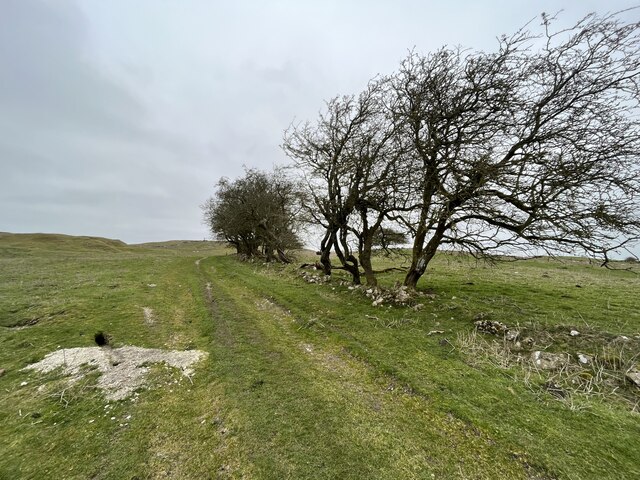
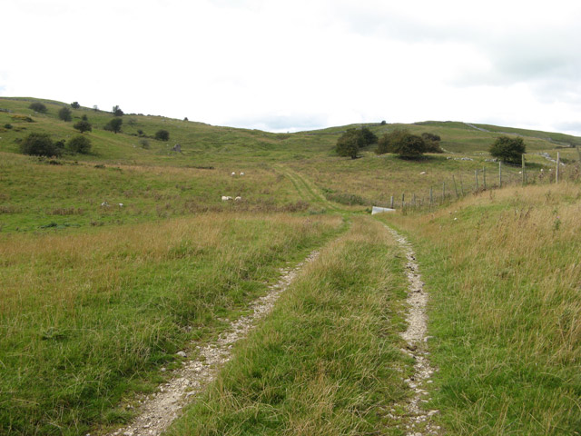
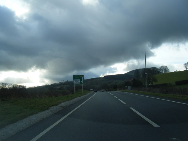
Big Covert is a vast woodland located in Denbighshire, Wales. Covering a substantial area, this forest is known for its remarkable size and dense vegetation, making it a popular destination for nature enthusiasts and outdoor adventurers.
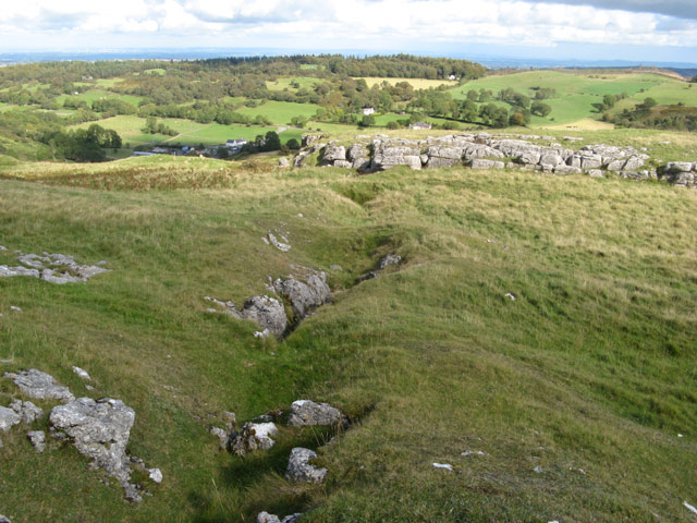
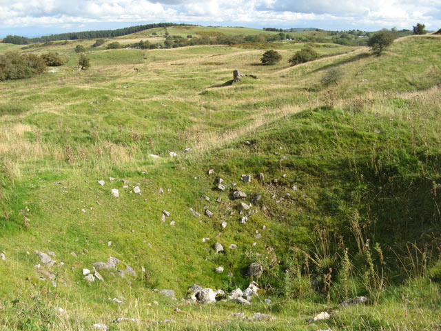
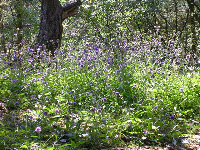
The woodland is characterized by its diverse range of tree species, including oak, beech, and pine, among others. These trees create a rich and vibrant canopy, providing a haven for numerous bird species and other wildlife. The forest floor is adorned with a thick carpet of ferns, mosses, and wildflowers, adding to the beauty and biodiversity of the area.
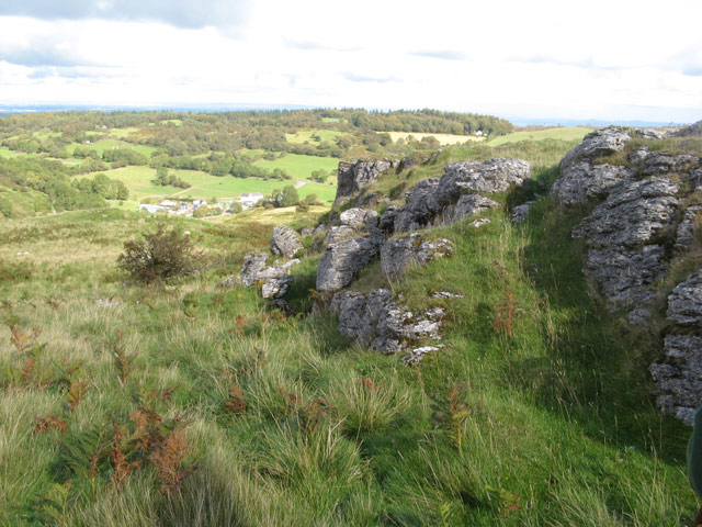
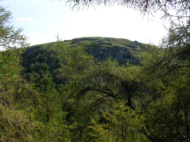
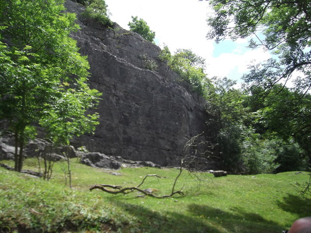
Big Covert offers a variety of recreational activities for visitors to enjoy. Hiking and walking trails crisscross the forest, allowing visitors to explore its hidden nooks and crannies. These paths offer breathtaking views of the surrounding landscape and provide an opportunity to observe the flora and fauna up close.
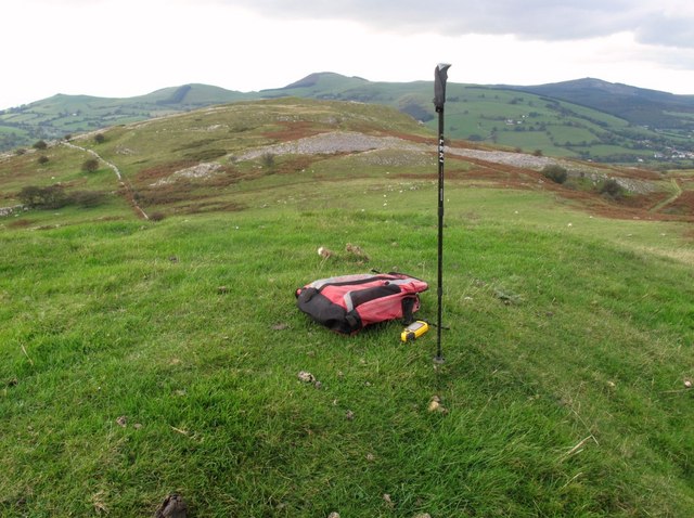
For those seeking a more adventurous experience, the forest also offers opportunities for mountain biking and horseback riding. The undulating terrain and well-maintained trails make it a perfect destination for outdoor enthusiasts of all skill levels.
Additionally, Big Covert is home to a number of picnic areas and camping sites, providing an ideal setting for a family outing or a weekend getaway. Visitors can immerse themselves in the tranquility of the forest, enjoying the fresh air and the soothing sounds of nature.
Overall, Big Covert in Denbighshire is a captivating woodland that offers a wealth of recreational opportunities and a chance to connect with nature in a truly picturesque setting.
If you have any feedback on the listing, please let us know in the comments section below.
Big Covert Images
Images are sourced within 2km of 53.132699/-3.1997495 or Grid Reference SJ1960. Thanks to Geograph Open Source API. All images are credited.


Big Covert is located at Grid Ref: SJ1960 (Lat: 53.132699, Lng: -3.1997495)
Unitary Authority: Denbighshire
Police Authority: North Wales
What 3 Words
///lung.coconuts.applauded. Near Mold, Flintshire
Nearby Locations
Related Wikis
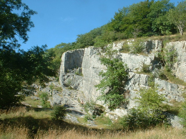
Pot Hole quarry
Pot Hole quarry (also known as Pothole quarry or Three Springs quarry) is a former limestone quarry close to Llanferres, near Mold, in Denbighshire, North...
Maeshafn
Maeshafn is a small village in Denbighshire, Wales, near the border with Flintshire. Maeshafn lies several miles to the southwest of Mold. Overlooked...
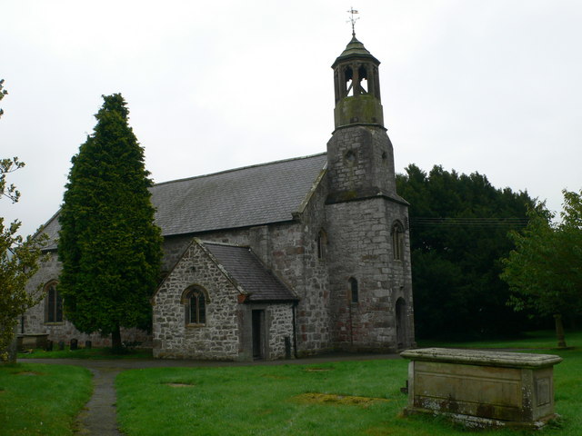
St Berres' Church, Llanferres
St Berres' Church, Llanferres, is in the village of Llanferres, Denbighshire, Wales on the A494 road between Mold and Ruthin. It is an Anglican church...

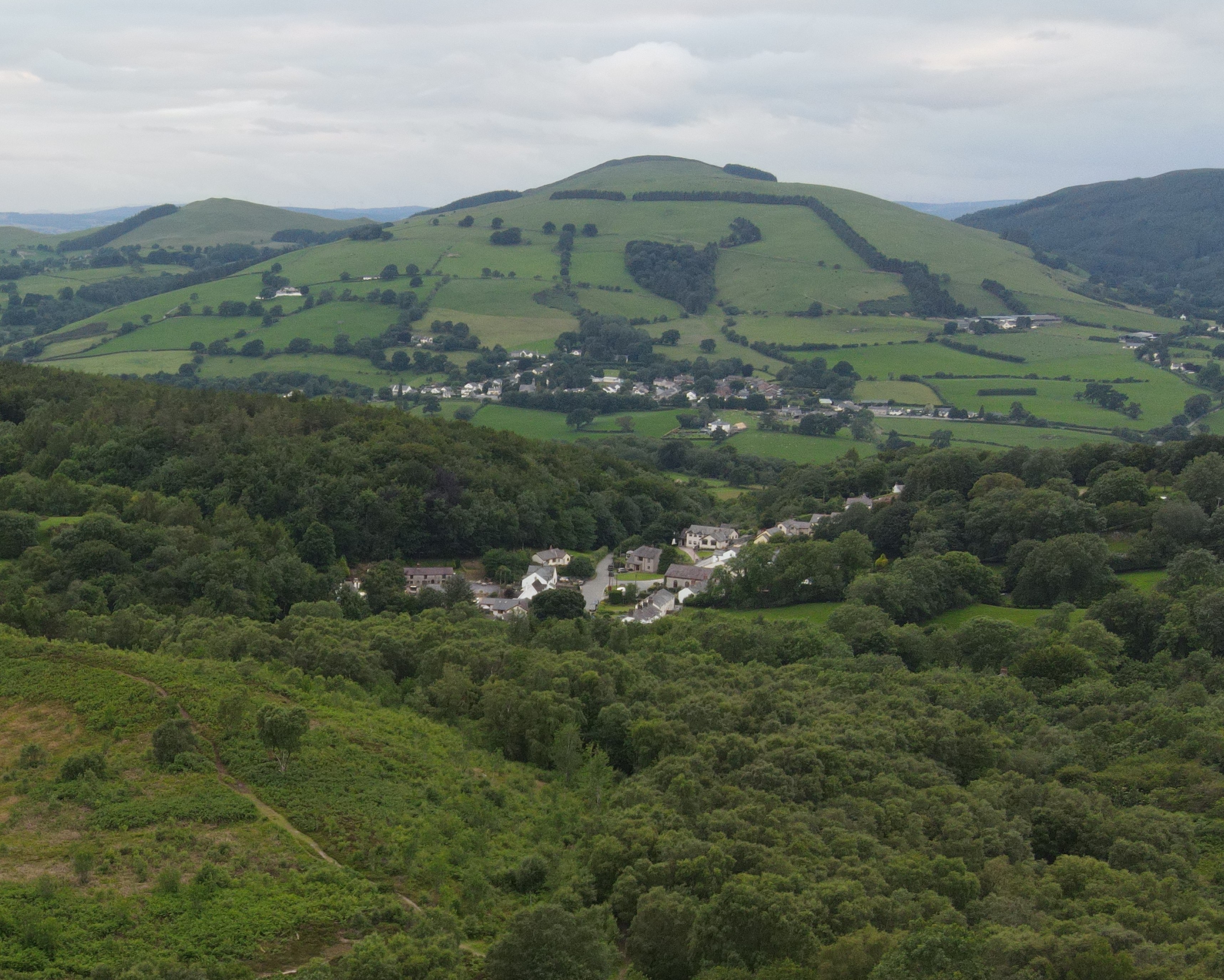
Llanferres
Llanferres is a village and community in the county of Denbighshire in Wales. At the 2001 Census the population of the village was recorded as 676, increasing...

Bryn Alyn
Bryn Alyn is a hill and Site of Special Scientific Interest in Denbighshire, North Wales, and forms part of the Clwydian Range and Dee Valley Area of Outstanding...

Clwydian Range and Dee Valley
The Clwydian Range and Dee Valley (Welsh: Bryniau Clwyd a Dyffryn Dyfrdwy) is a designated Area of Outstanding Natural Beauty (AONB) located in north-east...
Tafarn-y-Gelyn
Tafarn-y-Gelyn is a small village in the east of Denbighshire, North East Wales. Situated near Llanferres, at the foot of Moel Famau, just off the A494...
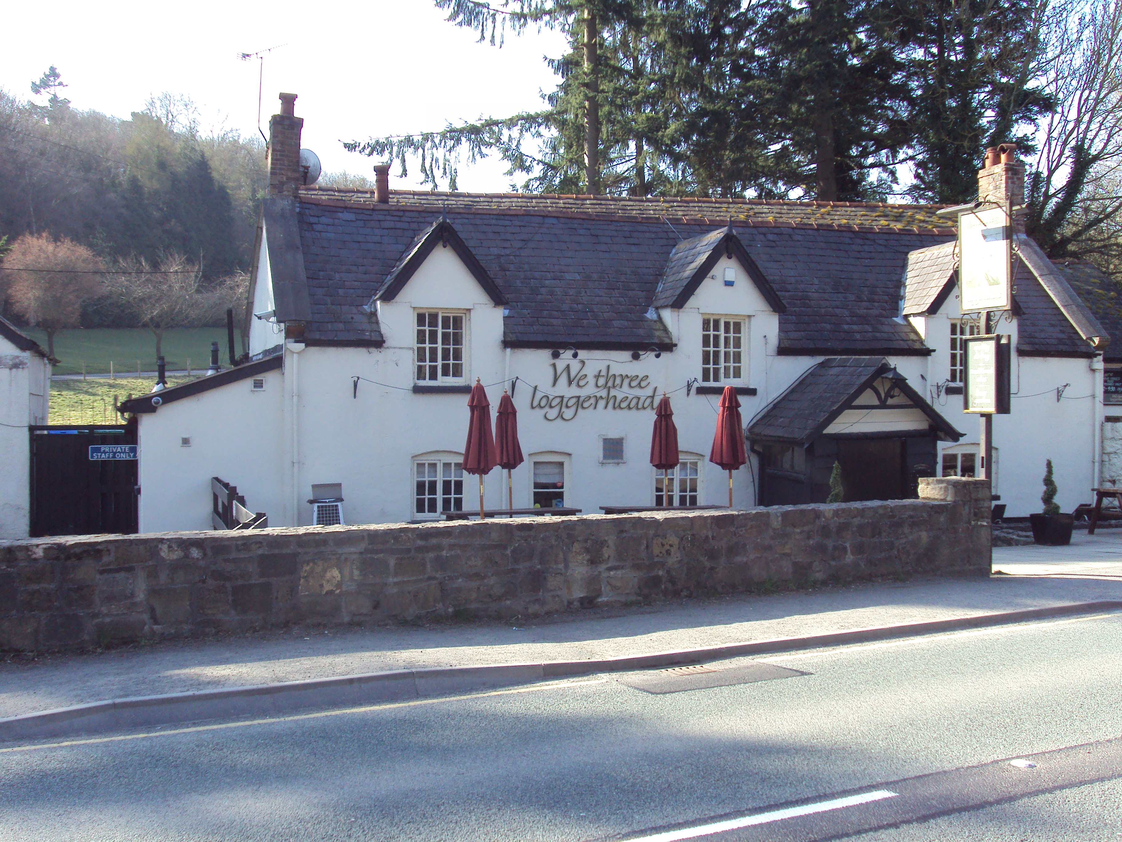
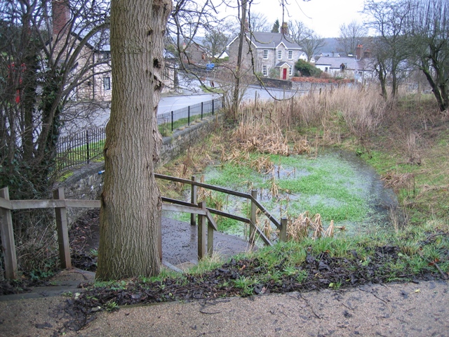
Loggerheads, Denbighshire
Loggerheads is a village in Denbighshire, Wales on the River Alyn, a tributary of the River Dee. It is the location of Loggerheads Country Park which follows...
Related Videos
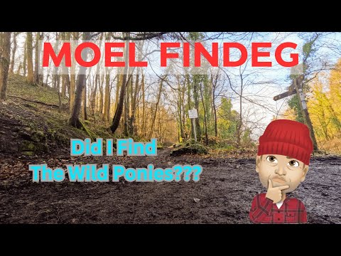
Hiking Wales: Loggerheads - Moel Findeg & Misty Hills
Misty Hills & Wild Ponies. This is a beautiful 6 mile circular hike from Loggerheads up to Moel Findeg and back around to ...

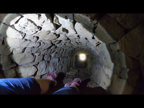
Bryn Alyn Caves - Belgrave Mine - Bronze Age : Clwydian Range Denbighshire
Exploring the caves of Bryn Alyn, near Llanarmon-yn-ial in the Clwydian Mountain Range. Earliest use of the cave dates back ...

Nearby Amenities
Located within 500m of 53.132699,-3.1997495Have you been to Big Covert?
Leave your review of Big Covert below (or comments, questions and feedback).