Caeathro

Settlement in Caernarfonshire

Wales

Caeathro

Public bridleway to Bontnewydd A field edge footpath.
Public bridleway to Bontnewydd Credit: Christine Johnstone

Caeathro is a small rural village located in the county of Caernarfonshire, Wales. Situated just south of the town of Caernarfon, it is nestled in the picturesque countryside of North Wales. The village lies on the banks of the River Seiont, which adds to its scenic charm.

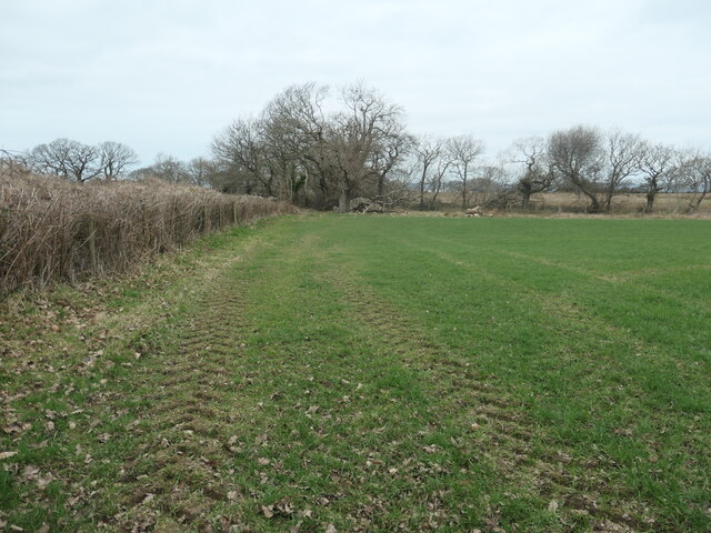
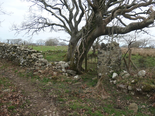
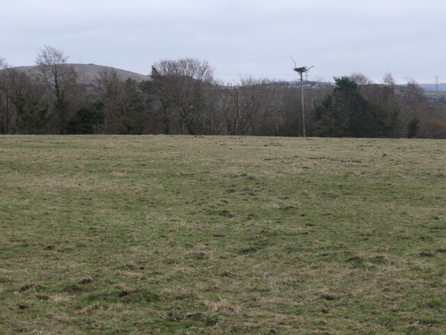
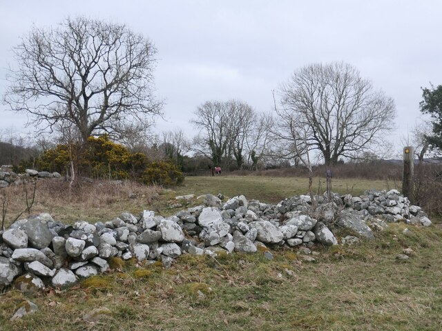
Caeathro is known for its peaceful and tranquil atmosphere, making it an ideal place for those seeking a quiet and idyllic lifestyle. The village is surrounded by stunning natural landscapes, including rolling hills, lush green fields, and the nearby Snowdonia National Park. This makes it a popular destination for outdoor enthusiasts, with plenty of opportunities for hiking, cycling, and exploring the great outdoors.

Despite its small size, Caeathro offers a range of amenities for its residents. There is a local convenience store and a pub, providing essential services and a place to socialize. The village is also home to a primary school, ensuring that families with young children have access to education within the community.

For those seeking cultural and historical experiences, the nearby town of Caernarfon offers a wealth of attractions. Caernarfon Castle, a UNESCO World Heritage site, is a major draw for tourists and a testament to the area's rich history. Additionally, the town boasts a variety of shops, restaurants, and entertainment options.

In summary, Caeathro is a charming village in Caernarfonshire that offers a peaceful lifestyle amidst beautiful natural surroundings. With its proximity to both the countryside and the amenities of Caernarfon, it provides residents with the best of both worlds.

If you have any feedback on the listing, please let us know in the comments section below.

Caeathro Images

Images are sourced within 2km of 53.131527/-4.240107 or Grid Reference SH5061. Thanks to Geograph Open Source API. All images are credited.

Public bridleway to Bontnewydd A field edge footpath.
Public bridleway to Bontnewydd
A field edge footpath.
Giât fach mewn wal carreg sych This small gate off a bridleway leads to no path or building, just a field.
Giât fach mewn wal carreg sych
This small gate off a bridleway leads to no path or building, just a field.
Hen gamfa fetel dros wal / Old metal stile over a wall On the public bridleway south of Bodwyn.
Hen gamfa fetel dros wal / Old metal stile over a wall
On the public bridleway south of Bodwyn.
Pont droed ar y llwybr  march / Footbridge on the bridleway The footbridge [which the OS maps] is the small slab of slate at the foot of the ladder stile.
Pont droed ar y llwybr march / Footbridge on the bridleway
The footbridge [which the OS maps] is the small slab of slate at the foot of the ladder stile.
Llwyfan nythu ger coetir / Nesting platform near woodland It appears to be currently unoccupied, but is big enough for an eagle.
Llwyfan nythu ger coetir / Nesting platform near woodland
It appears to be currently unoccupied, but is big enough for an eagle.
Llwybr march ger Hendai / Bridleway near Hendai The gorse and large tree are in a ruined enclosure. On the older large-scale OS maps this was Hendai - a small building with a square enclosure. Hendai can be translated as old house, or rural house. The enclosure and the bridleway are now part of a paddock.
Llwybr march ger Hendai / Bridleway near Hendai
The gorse and large tree are in a ruined enclosure. On the older large-scale OS maps this was Hendai - a small building with a square enclosure. Hendai can be translated as old house, or rural house. The enclosure and the bridleway are now part of a paddock.
Llanberis Road approaching Bypass Remnants of the roadworks at the new roundabout where the A4086 meets the "new" A487 Caernarfon to Bontnewydd bypass <span class="nowrap"><a title="https://gov.wales/a487-caernarfon-bontnewydd-bypass" rel="nofollow ugc noopener" href="https://gov.wales/a487-caernarfon-bontnewydd-bypass">Link</a><img style="margin-left:2px;" alt="External link" title="External link - shift click to open in new window" src="https://s1.geograph.org.uk/img/external.png" width="10" height="10"/></span> which was due to be opened later in the week.
Llanberis Road approaching Bypass
Remnants of the roadworks at the new roundabout where the A4086 meets the "new" A487 Caernarfon to Bontnewydd bypass LinkExternal link which was due to be opened later in the week.
Llanberis Road passing Restaurant at Rhosbodrual The A4086 runs for almost 18 miles between Caernarfon and Capel Curig. It is a popular tourist route as it passes through some of the most memorable and famous parts of Snowdonia including the Llanberis Pass.
Llanberis Road passing Restaurant at Rhosbodrual
The A4086 runs for almost 18 miles between Caernarfon and Capel Curig. It is a popular tourist route as it passes through some of the most memorable and famous parts of Snowdonia including the Llanberis Pass.
Plas Tirion Lodge The lodge at the entrance to the drive of Plas Tirion is built in a dark stone of unknown origin, as are the gate pillars and wonderfully executed wing walls. The drive is a public bridleway.
Plas Tirion Lodge
The lodge at the entrance to the drive of Plas Tirion is built in a dark stone of unknown origin, as are the gate pillars and wonderfully executed wing walls. The drive is a public bridleway.
Plas Tirion drive Close to the lodge the drive to Plas Tirion is well surfaced as it serves another house close to the road. Elsewhere the track has become very waterlogged.
Plas Tirion drive
Close to the lodge the drive to Plas Tirion is well surfaced as it serves another house close to the road. Elsewhere the track has become very waterlogged.
Pasture by the stream A small stream drains the valley to the west of Plas Tirion. Here it breaks free of woodland into open pasture.
Pasture by the stream
A small stream drains the valley to the west of Plas Tirion. Here it breaks free of woodland into open pasture.
Drumlin with standing stone The valley floor has numerous drumlins as a reminder of the glacial history of the landscape. Many are surmounted by standing stones or small circles, which are apparently a romantic ornament supplied by Sir Hugh Rowlands of Plas Tirion.
Drumlin with standing stone
The valley floor has numerous drumlins as a reminder of the glacial history of the landscape. Many are surmounted by standing stones or small circles, which are apparently a romantic ornament supplied by Sir Hugh Rowlands of Plas Tirion.
View to Glynifor The fields in the valley bottom are rather boggy in places.
View to Glynifor
The fields in the valley bottom are rather boggy in places.
Fields above Plas Tirion drive A branch in the drive leads into the fields above the wooded dell.
Fields above Plas Tirion drive
A branch in the drive leads into the fields above the wooded dell.
Overgrown wetland Autumn colours are shown by trees growing in a small wet depression, which has temporarily dried out.
Overgrown wetland
Autumn colours are shown by trees growing in a small wet depression, which has temporarily dried out.
Bridge Abutment at Seiont Nurseries Surviving bridge abutment where the former LNWR Llanberis branch line crossed the Afon Seiont.
Bridge Abutment at Seiont Nurseries
Surviving bridge abutment where the former LNWR Llanberis branch line crossed the Afon Seiont.
A4086 Road Bridge Road bridge at Pont-Rug, that crosses the Afon Seiont and the disused former LNWR branch line to Llanberis.
A4086 Road Bridge
Road bridge at Pont-Rug, that crosses the Afon Seiont and the disused former LNWR branch line to Llanberis.
Bryn Gwna, Caeathro Inn on the main road outside between Caernarfon and Waunfawr.
Bryn Gwna, Caeathro
Inn on the main road outside between Caernarfon and Waunfawr.
Show me another place!

Caeathro is located at Grid Ref: SH5061 (Lat: 53.131527, Lng: -4.240107)

Unitary Authority: Gwynedd

Police Authority: North Wales

What 3 Words

///choppy.clattered.cities. Near Caernarfon, Gwynedd

Nearby Locations

Caeathro

Related Wikis

Caeathro

Caeathro is a village situated on the A4085 road between Caernarfon and Waunfawr in Gwynedd, northwest Wales. It is approximately 2 km from Caernarfon...

Peblig, Caernarfon

Peblig is an electoral ward in the town of Caernarfon, Gwynedd, Wales, electing councillors to the town council and Gwynedd Council. == Description... ==

Ysbyty Eryri

Ysbyty Eryri (Welsh for 'Snowdonia Hospital') is a health facility in Lôn Parc, Caernarfon, Gwynedd, Wales. It is managed by the Betsi Cadwaladr University...

Caernarfon Mithraeum

The Caernarfon Mithraeum is a Mithraic temple or Mithraeum. It was located 137 meters north-east of the Roman castram of Segontium on the outskirts of...

Caernarfon RFC

Caernarfon Rugby Football Club (Welsh: Clwb Rygbi Caernarfon) is a rugby union team from the town of Caernarfon, Gwynedd, North Wales. They currently play...

Pont Rug (Halt) railway station

Pont Rug railway station was located to the east of Caernarfon, Gwynedd, Wales, where the A4086 crosses the Afon Seiont. The station opened in 1880. It...
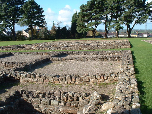
Segontium

Segontium (Old Welsh: Cair Segeint) is a Roman fort on the outskirts of Caernarfon in Gwynedd, North Wales. The fort, which survived until the end of the...

The Oval, Caernarfon

The Oval is a multi-use stadium in Caernarfon, Wales. It is currently used mostly for football matches and is the home ground of Caernarfon Town F.C....

Nearby Amenities

Located within 500m of 53.131527,-4.240107
Noexit: yes
Lat/Long: 53.1312702/-4.2435861
Fuel
Shell
Addr Postcode: LL55 2SS
Brand: Shell
Brand Wikidata: Q110716465
Opening Hours: Mo-Su 06:30-22:00
Phone: +44 1286 673096
Ref Navads: NVDS353_10019754
Website: https://find.shell.com/gb/fuel/10019754-gwalia-garage
Lat/Long: 53.1301169/-4.2385983
Caeathro
Place: village
Wikidata: Q3402570
Wikipedia: en:Caeathro
Lat/Long: 53.1314399/-4.2423758
Barrier: kissing_gate
Lat/Long: 53.1317556/-4.2364557
Power: pole
Lat/Long: 53.1298901/-4.2414791
Power: pole
Lat/Long: 53.1306431/-4.2410023
Power: pole
Lat/Long: 53.1288183/-4.2399368
Traffic Calming: yes
Lat/Long: 53.1305873/-4.2434475
Power: pole
Lat/Long: 53.1282695/-4.2391107
Power: pole
Lat/Long: 53.1299865/-4.2408977
Power: pole
Lat/Long: 53.1303601/-4.2425922
Power: pole
Lat/Long: 53.129425/-4.2408327
Tai Bryn Teg
Lat/Long: 53.1308959/-4.2432636
Bus: yes
Public Transport: stop_position
Lat/Long: 53.1313952/-4.2416573
Bus: yes
Public Transport: stop_position
Lat/Long: 53.132236/-4.244224
Eryl Cottage
Building: house
Lat/Long: 53.1306795/-4.2403782
Atm
Fee: no
Lat/Long: 53.1299569/-4.2386507
Entrance: yes
Lat/Long: 53.1300431/-4.2387979
Entrance: yes
Lat/Long: 53.1299294/-4.2384799
Direction: ESE
Generator Method: photovoltaic
Generator Output Electricity: yes
Generator Solar Modules: 13
Generator Source: solar
Generator Type: solar_photovoltaic_panel
Location: roof
Power: generator
Lat/Long: 53.130793/-4.2433432
Direction: SSW
Generator Method: photovoltaic
Generator Output Electricity: yes
Generator Solar Modules: 16
Generator Source: solar
Generator Type: solar_photovoltaic_panel
Location: roof
Power: generator
Lat/Long: 53.1317408/-4.2429838
The data included in this document is from www.openstreetmap.org. The data is made available under ODbL.

Have you been to Caeathro?

Leave your review of Caeathro below (or comments, questions and feedback).