Bryn-pinod Woods

Wood, Forest in Montgomeryshire

Wales

Bryn-pinod Woods

Old church in Llanfechain Yet another church looking unloved, under utilised and under an uncertain future.
Old church in Llanfechain Credit: Jeremy Bolwell

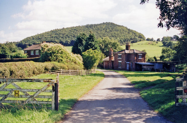
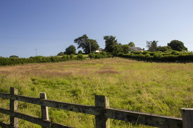
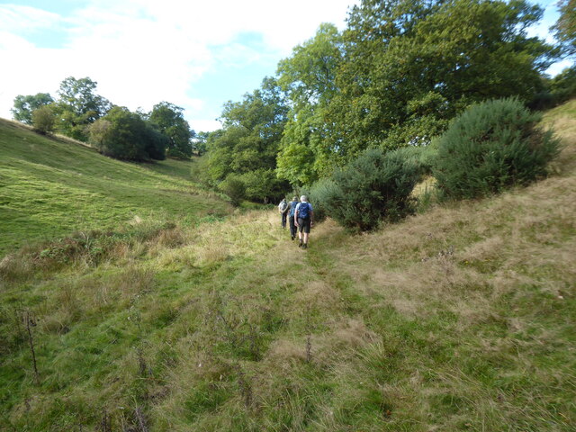
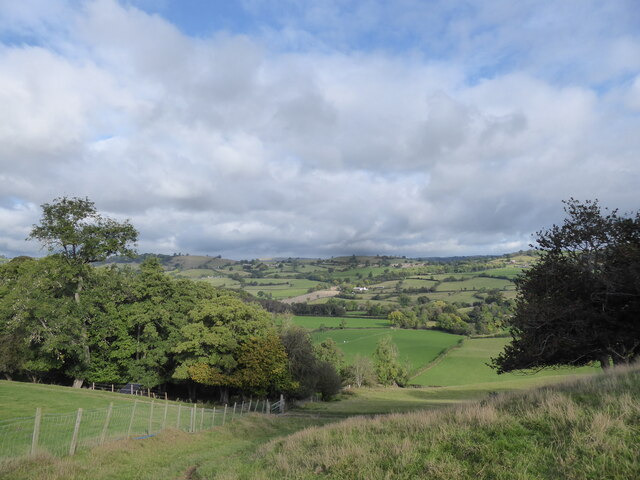
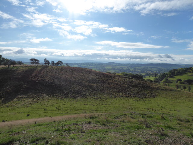
Bryn-pinod Woods is a picturesque woodland located in Montgomeryshire, Wales. Spanning over a vast area, it is renowned for its natural beauty and diverse ecosystem. The woodland is situated on the slopes of Bryn-pinod Hill, adding to its charm and providing visitors with stunning panoramic views.

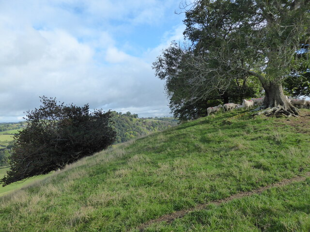
This woodland is predominantly composed of native tree species such as oak, beech, and birch, creating a rich and vibrant habitat for a variety of wildlife. The well-preserved nature of the woods has allowed for the thriving of numerous bird species, including woodpeckers, owls, and various songbirds. It is also home to a range of mammals like foxes, badgers, and squirrels, making it a haven for nature enthusiasts and wildlife photographers.

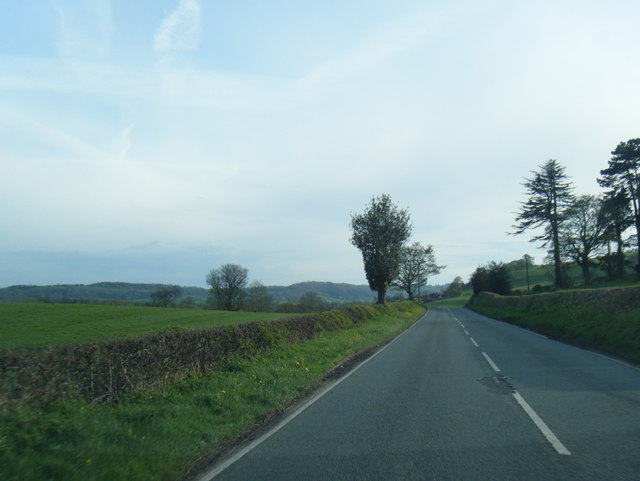
Bryn-pinod Woods offers a peaceful and tranquil environment, attracting visitors seeking solace in nature. There are well-maintained walking trails that wind through the woods, allowing visitors to immerse themselves in its beauty while enjoying a leisurely stroll. The serenity of the woodland is enhanced by the gentle babbling of nearby streams and the occasional rustle of leaves as wildlife moves through the undergrowth.

In addition to its natural wonders, Bryn-pinod Woods is also of historical significance. It is believed that the woods have been present for centuries and have witnessed many historical events. Exploring the woods may reveal remnants of ancient settlements or even hidden archaeological treasures.

Overall, Bryn-pinod Woods is a captivating destination that combines natural beauty, biodiversity, and a touch of history. It offers a memorable experience for those seeking a peaceful retreat or an opportunity to connect with the wonders of nature.

If you have any feedback on the listing, please let us know in the comments section below.

Bryn-pinod Woods Images

Images are sourced within 2km of 52.761369/-3.1941843 or Grid Reference SJ1918. Thanks to Geograph Open Source API. All images are credited.

Old church in Llanfechain Yet another church looking unloved, under utilised and under an uncertain future.
Old church in Llanfechain
Yet another church looking unloved, under utilised and under an uncertain future.
Llanfechain: former station, 1999 View SE to the former station, now a private house, on the ex-Cambrian Railways Llanymynech (to left) - (to right) Llanfyllin branch, closed 18/1/65. The hill ahead is Long Hill (286 ft.).
Llanfechain: former station, 1999
View SE to the former station, now a private house, on the ex-Cambrian Railways Llanymynech (to left) - (to right) Llanfyllin branch, closed 18/1/65. The hill ahead is Long Hill (286 ft.).
Church of St. Garmon, Llanfechain
Plas yn Dinas, Llanfechain This is rather an upmarket pub for a small village where the emphasis is on food and the menu is certainly several notches above standard pub grub. The building was originally a courthouse probably dating from the 16th century - the name translates literally into English as 'City Halls'.
Plas yn Dinas, Llanfechain
This is rather an upmarket pub for a small village where the emphasis is on food and the menu is certainly several notches above standard pub grub. The building was originally a courthouse probably dating from the 16th century - the name translates literally into English as 'City Halls'.
Llanfechain Church The church is dedicated to Garmon, a 9th century Celtic saint who is believed to have been the first Bishop of Man; it is said that a mound in the churchyard was used by Garmon for preaching. Parts of the building date from the 13th century and it is grade II* listed.
Llanfechain Church
The church is dedicated to Garmon, a 9th century Celtic saint who is believed to have been the first Bishop of Man; it is said that a mound in the churchyard was used by Garmon for preaching. Parts of the building date from the 13th century and it is grade II* listed.
Llanfechain Churchyard Showing one corner of St Garmon's church.
Llanfechain Churchyard
Showing one corner of St Garmon's church.
New Buildings Farm Modern and vernacular farm buildings at New Buildings Farm
New Buildings Farm
Modern and vernacular farm buildings at New Buildings Farm
A495 near Fferm
A495 near Fferm
A495 nearing the A490 junction
A495 near Vron Vyrnwy
A495 near Godor
A495 near Godor
Brongain The tower at Brongrain Farm.
Brongain
The tower at Brongrain Farm.
Eglwys Sant Garmon Church at Llanfechan.
Eglwys Sant Garmon
Church at Llanfechan.
Heading up the dingle behind Cilthrew Farm Rough grazing for sheep amongst the gorse.
Heading up the dingle behind Cilthrew Farm
Rough grazing for sheep amongst the gorse.
View northwards from hills above Cilthrew Farm near Llansantffraidd-ym-Mechain Lovely countryside!
View northwards from hills above Cilthrew Farm near Llansantffraidd-ym-Mechain
Lovely countryside!
Sheep pasture on hills above Cilthrew Farm Lovely outlook from up here today!
Sheep pasture on hills above Cilthrew Farm
Lovely outlook from up here today!
New water tank on the hilltop Sticks out like a sore thumb.
New water tank on the hilltop
Sticks out like a sore thumb.
View southwards over Bryn Coch You can see how Bryn Coch got its name.
View southwards over Bryn Coch
You can see how Bryn Coch got its name.
Show me another place!

Bryn-pinod Woods is located at Grid Ref: SJ1918 (Lat: 52.761369, Lng: -3.1941843)

Unitary Authority: Powys

Police Authority: Dyfed Powys

What 3 Words

///vine.aced.contexts. Near Llanfechain, Powys

Related Wikis

Llanfechain railway station

Llanfechain railway station is a former station in Llanfechain, Powys, Wales. The station opened in 1865 and closed in 1965. The station site is now a...

Llanfechain

Llanfechain is a village and community in Powys, Wales, on the B4393 road between Llanfyllin and Llansantffraid-ym-Mechain. Historically it belonged to...

St Garmon's Church, Llanfechain

St Garmon's Church, Llanfechain, is in the village of Llanfechain, Powys, Wales. It is an active Anglican parish church in the deanery of Llanfyllin, the...

Battle of Mechain

The Battle of Mechain was fought in Powys, Wales, in 1070, for rule of the Welsh kingdoms of Gwynedd and Powys. The battlefield may be near Llanfechain...

Bwlch-y-cibau

Bwlch-y-Cibau also known as the "pass of the husks" in English, is a small village located between Llanfyllin and Welshpool. It is situated on the A490...

Bryngwyn Halt railway station

Bryngwyn Halt railway station is a disused station that was on the Llanfyllin Branch of the Cambrian Railways. It served the villages of Bwlch-y-cibau...

Aithnen

Aithnen is a small settlement in Powys, Wales. It is 10 kilometres (6 mi) southwest of the town of Oswestry. == External links == Aithnen at Streetmap...

Llansantffraid-ym-Mechain

Llansantffraid-ym-Mechain is a large village (in the community of Llansantffraid) in Powys, Mid Wales, close to the border with Shropshire in England,...

Nearby Amenities

Located within 500m of 52.761369,-3.1941843
Place: farm
Lat/Long: 52.7605594/-3.1892001
Direction: 165
Generator Method: photovoltaic
Generator Output Electricity: yes
Generator Solar Modules: 16
Generator Source: solar
Generator Type: solar_photovoltaic_panel
Location: ground
Power: generator
Lat/Long: 52.7572521/-3.195278
The data included in this document is from www.openstreetmap.org. The data is made available under ODbL.

Have you been to Bryn-pinod Woods?

Leave your review of Bryn-pinod Woods below (or comments, questions and feedback).