Coed Ward
Wood, Forest in Flintshire
Wales
Coed Ward
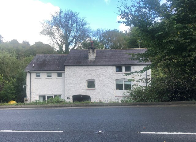
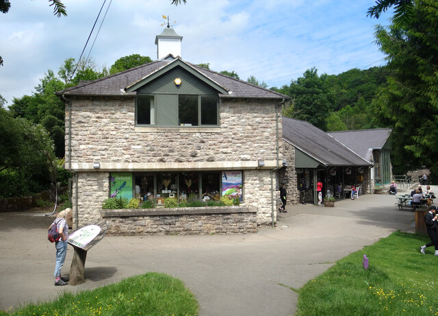
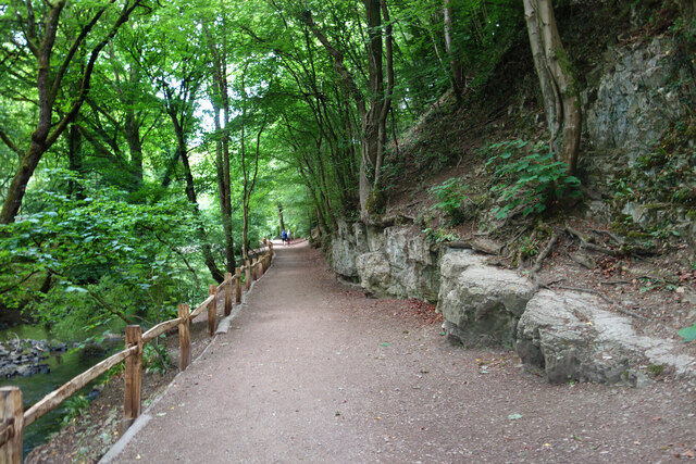
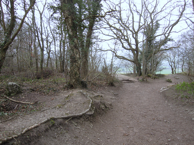
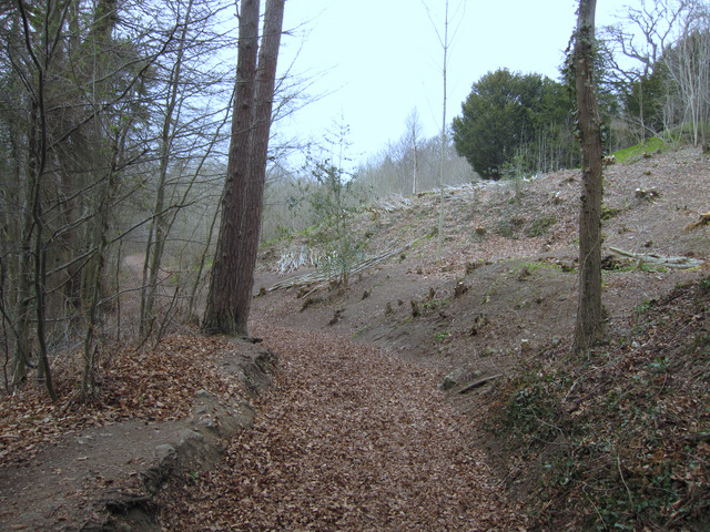
Coed Ward, located in Flintshire, is a small woodland area known for its stunning natural beauty and rich biodiversity. Covering an area of approximately 50 hectares, this enchanting forest is a popular destination for nature enthusiasts and outdoor enthusiasts alike.
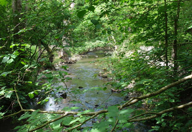
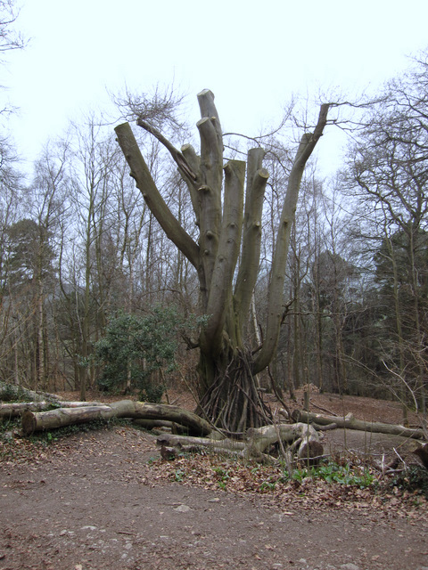
The woodland is predominantly made up of a mixture of native broadleaf trees, including oak, beech, birch, and hazel, creating a diverse and vibrant ecosystem. The thick foliage provides a cool and tranquil environment, making it a perfect escape from the hustle and bustle of everyday life.
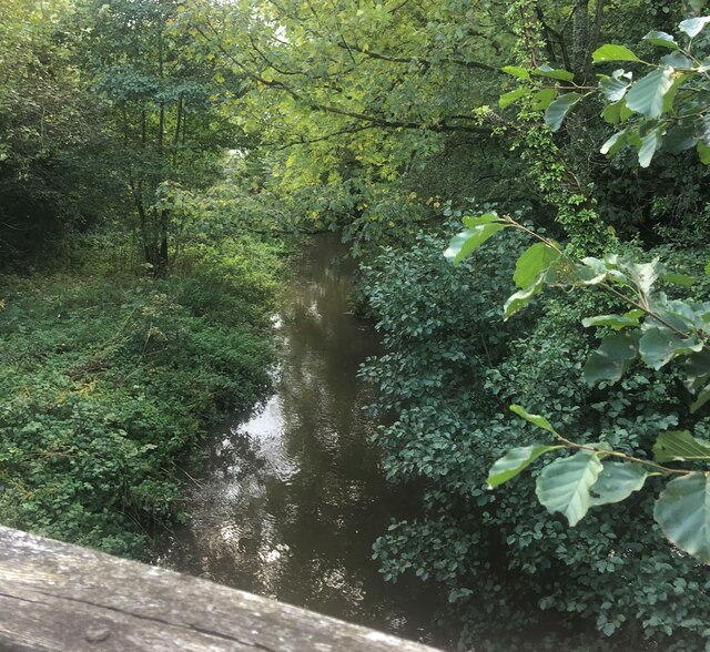
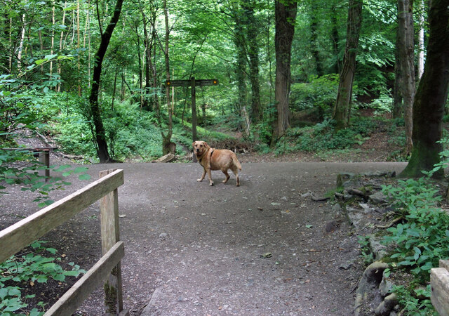
Coed Ward is a haven for wildlife, with an abundance of flora and fauna calling it home. The forest floor is adorned with a variety of wildflowers, such as bluebells and wood anemones, creating a colorful carpet during the spring months. Birdwatchers will be delighted to spot various species, including woodpeckers, owls, and thrushes.
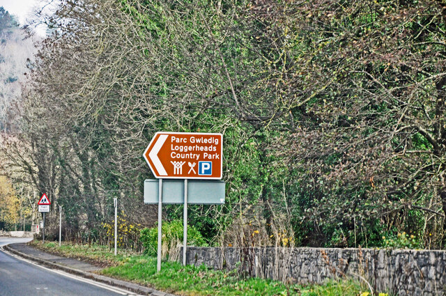
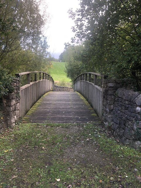
The forest offers numerous walking trails, allowing visitors to explore its hidden gems. These paths meander through the woodland, providing breathtaking views of the surrounding countryside. A visit to Coed Ward is not complete without taking a leisurely stroll along one of these trails, immersing oneself in the sights and sounds of nature.
To ensure the preservation of this natural treasure, Coed Ward is managed by local conservation organizations in collaboration with the community. Regular conservation initiatives, such as tree planting and maintenance, are carried out to sustain the forest and protect its inhabitants.
Coed Ward is a true gem in Flintshire, offering visitors a chance to reconnect with nature and experience the tranquility of a woodland paradise.
If you have any feedback on the listing, please let us know in the comments section below.
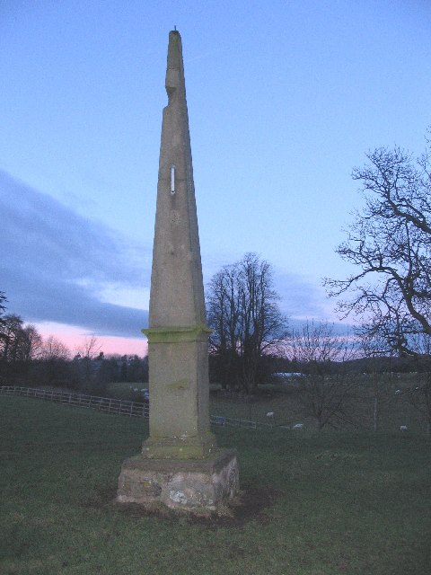
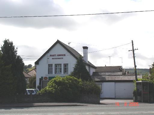
Coed Ward Images
Images are sourced within 2km of 53.169709/-3.2059132 or Grid Reference SJ1964. Thanks to Geograph Open Source API. All images are credited.


Coed Ward is located at Grid Ref: SJ1964 (Lat: 53.169709, Lng: -3.2059132)
Unitary Authority: Flintshire
Police Authority: North Wales
What 3 Words
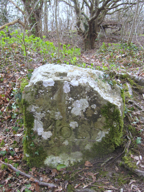
///blindfold.courts.rural. Near Mold, Flintshire
Nearby Locations
Related Wikis
Pantymwyn
Pantymwyn is a small village just outside Mold in Flintshire, Wales, in the community of Gwernaffield with Pantymwyn. The village is located within the...
Gwernaffield with Pantymwyn
Gwernaffield with Pantymwyn is a community in Flintshire, Wales with a population of 1942 as of the 2011 UK census. It includes the villages of Gwernaffield...

Gwernaffield
Gwernaffield (Welsh: Y Waun), also known as Gwernaffield-y-Waun, is a village and electoral ward in Flintshire, Wales. It lies about three miles west of...

Ogof Hen Ffynhonnau
Ogof Hen Ffynhonnau (sometimes known in English as Poacher's Cave) lies in the Alyn Gorge in Flintshire, Wales close to Ogof Hesp Alyn. It was discovered...
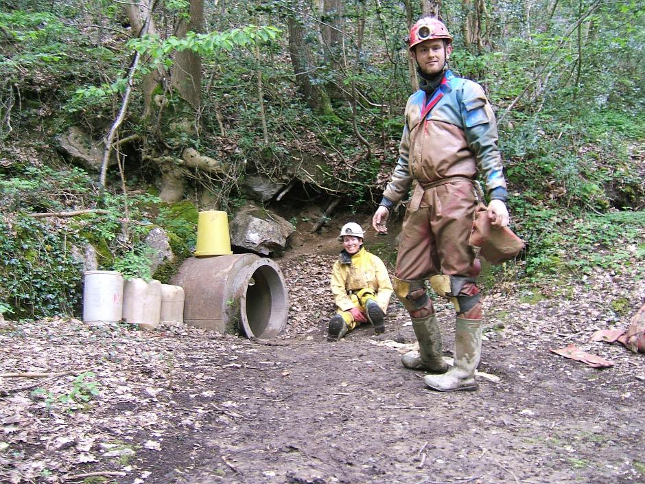
Ogof Nadolig
Ogof Nadolig is a cave in the Alyn Gorge near Cilcain, Flintshire, Wales. It is mostly crawling, 300 metres (980 ft) long, and ends with a shaft up to...
Ogof Hesp Alyn
Ogof Hesp Alyn (Welsh for: Dry Alyn Cave) was discovered by North Wales Caving Club in 1973 in the Alyn Gorge near Cilcain, Flintshire, Wales. Reaching...
Rhydymwyn
Rhydymwyn (Welsh for 'Ford of the Ore') is a village in Flintshire, Wales, located in the upper Alyn valley. Once a district of Mold, it was recognised...
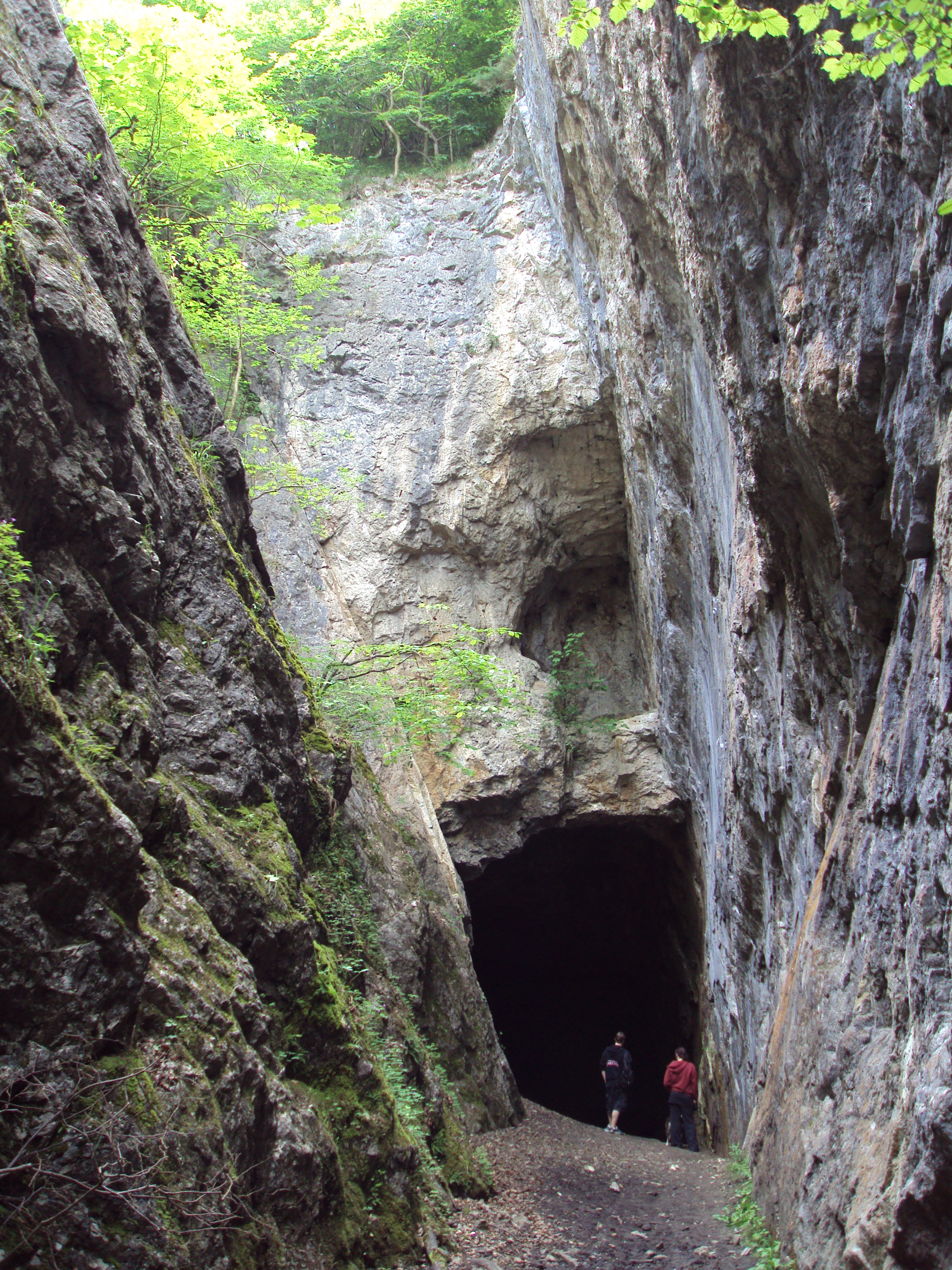
Alyn Valley Woods and Alyn Gorge Caves
Alyn Valley Woods and Alyn Gorge Caves is a Site of Special Scientific Interest on the border of Flintshire and Denbighshire in north Wales. Most of the...
Nearby Amenities
Located within 500m of 53.169709,-3.2059132Have you been to Coed Ward?
Leave your review of Coed Ward below (or comments, questions and feedback).