Coed Penlan

Wood, Forest in Denbighshire

Wales

Coed Penlan

Descending into the valley
Descending into the valley Credit: Row17

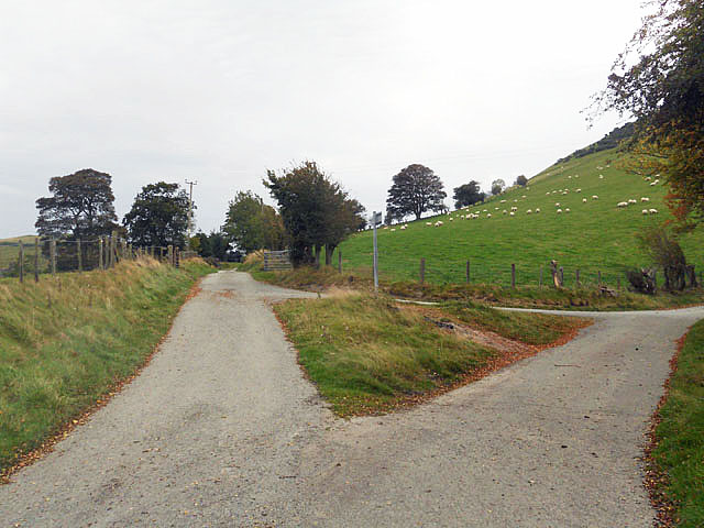
Coed Penlan is a picturesque woodland located in Denbighshire, Wales. Spanning over an area of approximately 100 hectares, it is renowned for its natural beauty and abundant wildlife. The woodland is situated near the village of Clawddnewydd, offering a serene and tranquil escape from the hustle and bustle of city life.

Coed Penlan is primarily composed of deciduous trees, such as oak, beech, and birch, which create a vibrant and colorful landscape throughout the year. The forest floor is adorned with a carpet of bluebells and other wildflowers during the spring, making it a popular spot for nature enthusiasts and photographers.

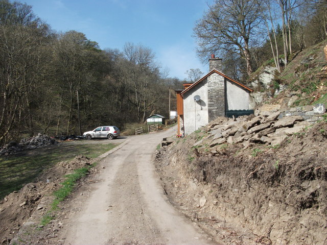
The woodland is intersected by a network of well-maintained footpaths, allowing visitors to explore its diverse habitats and discover its hidden treasures. Walking through Coed Penlan, one may encounter a variety of wildlife, including red squirrels, foxes, badgers, and a wide range of bird species. It is a haven for birdwatchers, with regular sightings of species such as woodpeckers, jays, and tawny owls.

In addition to its natural splendor, Coed Penlan also holds historical significance. The forest has been used by local communities for centuries, providing a source of timber and firewood. Today, it serves as a recreational space for both locals and tourists, offering opportunities for walking, picnicking, and simply enjoying the peaceful atmosphere.

Coed Penlan truly embodies the beauty of nature, providing a haven for wildlife and a place of solace for all who visit. With its enchanting woodland trails and rich biodiversity, it is a must-visit destination for nature lovers in Denbighshire.

If you have any feedback on the listing, please let us know in the comments section below.
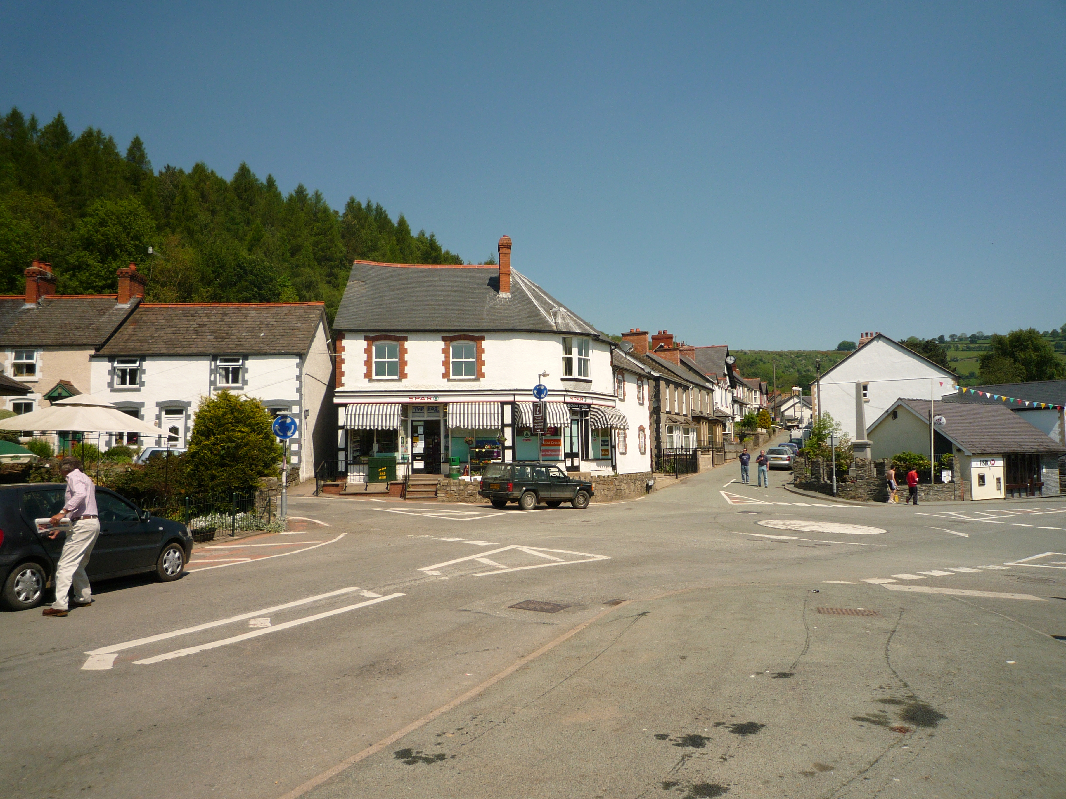
Coed Penlan Images

Images are sourced within 2km of 52.904665/-3.2070134 or Grid Reference SJ1834. Thanks to Geograph Open Source API. All images are credited.

Descending into the valley
A fork in the road
A fork in the road
Gelli farmhouse and buildings Tucked in amongst its trees it looks well protected from winds.
<a href="https://www.geograph.org.uk/photo/2894705">SJ1836 : Track leading to Gelli steading</a>
Gelli farmhouse and buildings
Tucked in amongst its trees it looks well protected from winds. SJ1836 : Track leading to Gelli steading
Track leading to Gelli steading The farm steading at Gelli surrounded by trees.
<a href="https://www.geograph.org.uk/photo/2894685">SJ1836 : Gelli farmhouse and buildings</a>
Track leading to Gelli steading
The farm steading at Gelli surrounded by trees. SJ1836 : Gelli farmhouse and buildings
Craig y Pandy A limestone outcrop above Pandy.
Craig y Pandy
A limestone outcrop above Pandy.
Unnamed cottage in woodland Cottage in the process of updating, a bit close to the lane but otherwise an almost perfect setting.
Unnamed cottage in woodland
Cottage in the process of updating, a bit close to the lane but otherwise an almost perfect setting.
Lane down towards Pandy Wonderful lane slowly descending to Glyn Ceiriog at Pandy. The concrete posts and tube railings have gone out of favour on main roads but look the part on this back road.
Lane down towards Pandy
Wonderful lane slowly descending to Glyn Ceiriog at Pandy. The concrete posts and tube railings have gone out of favour on main roads but look the part on this back road.
Pandy Mill glass studio & gallery A redundant wool fulling mill put to use. The artist works in glass here and has a small gallery of works & photographs. <a href="https://www.geograph.org.uk/photo/226848">SJ1935 : Fulling Mill at Pandy</a>
<span class="nowrap"><a title="http://www.pandymillgallery.com/" rel="nofollow ugc noopener" href="http://www.pandymillgallery.com/">Link</a><img style="margin-left:2px;" alt="External link" title="External link - shift click to open in new window" src="https://s1.geograph.org.uk/img/external.png" width="10" height="10"/></span>
<span class="nowrap"><a title="http://www.witheridge-historical-archive.com/fulling.htm" rel="nofollow ugc noopener" href="http://www.witheridge-historical-archive.com/fulling.htm">Link</a><img style="margin-left:2px;" alt="External link" title="External link - shift click to open in new window" src="https://s1.geograph.org.uk/img/external.png" width="10" height="10"/></span>
Pandy Mill glass studio & gallery
A redundant wool fulling mill put to use. The artist works in glass here and has a small gallery of works & photographs. SJ1935 : Fulling Mill at Pandy LinkExternal link LinkExternal link
Pandy sewage works A small but modern sewage works for this small community.
Pandy sewage works
A small but modern sewage works for this small community.
Glyn Valley Tramway The tramway was the first mechanical means of transport down Glyn Ceiriog to Y Waun. Initially a horse wagon way that was upgraded to steam to connect first to canal & then railway at Y Waun. The National Trust oversee this part of the path along the uplifted tramway.

<span class="nowrap"><a title="http://www.glynvalleytramway.org.uk/" rel="nofollow ugc noopener" href="http://www.glynvalleytramway.org.uk/">Link</a><img style="margin-left:2px;" alt="External link" title="External link - shift click to open in new window" src="https://s1.geograph.org.uk/img/external.png" width="10" height="10"/></span>
<span class="nowrap"><a title="http://www.thegvt.org/" rel="nofollow ugc noopener" href="http://www.thegvt.org/">Link</a><img style="margin-left:2px;" alt="External link" title="External link - shift click to open in new window" src="https://s1.geograph.org.uk/img/external.png" width="10" height="10"/></span>
Glyn Valley Tramway
The tramway was the first mechanical means of transport down Glyn Ceiriog to Y Waun. Initially a horse wagon way that was upgraded to steam to connect first to canal & then railway at Y Waun. The National Trust oversee this part of the path along the uplifted tramway. LinkExternal link LinkExternal link
The footpath on The Glyn Valley Tramway The old track has been uplifted many years but an excellent path has taken its place, the riveted iron bridge crosses Afon Ceiriog.
The footpath on The Glyn Valley Tramway
The old track has been uplifted many years but an excellent path has taken its place, the riveted iron bridge crosses Afon Ceiriog.
Cwmclwyd cottage Excellent stone cottage & outbuildings.
Cwmclwyd cottage
Excellent stone cottage & outbuildings.
Heading towards the trees A remote lane heads towards a coniferous plantation.
Heading towards the trees
A remote lane heads towards a coniferous plantation.
Looking down towards grassland From the forest track towards typical upland grazings. Not great grass, but able to support sheep and cattle.
Looking down towards grassland
From the forest track towards typical upland grazings. Not great grass, but able to support sheep and cattle.
Track of abandoned road The B4500 now is to the right in a diversion over a new bridge that was completed some time ago. The old track provides a handy place to park things.
Track of abandoned road
The B4500 now is to the right in a diversion over a new bridge that was completed some time ago. The old track provides a handy place to park things.
Ty-newydd equestrian centre Known as Ceiriog Equestrian this site has been developed with new inside yard and outdoor dressage ring.
Ty-newydd equestrian centre
Known as Ceiriog Equestrian this site has been developed with new inside yard and outdoor dressage ring.
Ponies grazing at Ty-newydd Open grazing for these ponies with their winter coats on.
Ponies grazing at Ty-newydd
Open grazing for these ponies with their winter coats on.
Looking back down the track to Ty-newydd High on the north facing slopes of Glyn Ceiriog winter has not as yet released its grip.
Looking back down the track to Ty-newydd
High on the north facing slopes of Glyn Ceiriog winter has not as yet released its grip.
Show me another place!

Coed Penlan is located at Grid Ref: SJ1834 (Lat: 52.904665, Lng: -3.2070134)

Unitary Authority: Wrexham

Police Authority: North Wales

What 3 Words

///revisits.jousting.moves. Near Llangollen, Denbighshire

Nearby Locations

Coed Penlan Sideland Rough

Related Wikis

Pandy, Ceiriog Valley

Pandy () is a hamlet in the Ceiriog Valley, Wrexham County Borough, Wales. It is located on the confluence of the River Ceiriog to the east, and the smaller...

Ceiriog Valley

The Ceiriog Valley (Welsh: Dyffryn Ceiriog) is the valley of the River Ceiriog in north-east Wales. Its Welsh name, "Dyffryn Ceiriog", is the name of an...

Tregeiriog

Tregeiriog (a Welsh name translating roughly as "settlement [on the] River Ceiriog") is a village in Wrexham County Borough, Wales. It is in the community...

Cambrian quarry

The Cambrian quarry was a slate quarry, located to the west of Glyn Ceiriog in Denbighshire, North Wales. There was some small-scale extraction of slate...

Ceiriog Ucha

Ceiriog Ucha, also spelled as Ceiriog Uchaf (meaning "Upper Ceiriog"), is a community in Wrexham County Borough, Wales. The community lies in the Ceiriog...

Llanarmon Dyffryn Ceiriog

Llanarmon Dyffryn Ceiriog (; often referred to as Llanarmon DC or locally simply as Llanarmon) is a village in Wrexham County Borough, Wales. It lies on...

Glyn Ceiriog

Glyn Ceiriog (Welsh: Glynceiriog) is the principal settlement of the Ceiriog Valley and a community in Wrexham County Borough, north-east Wales. Glyn Ceiriog...

Llwynmawr

Llwynmawr (Welsh: Llwyn-mawr) is a village in the Ceiriog Valley in North Wales, about halfway between the villages of Glyn Ceiriog and Pontfadog, in the...

Related Videos

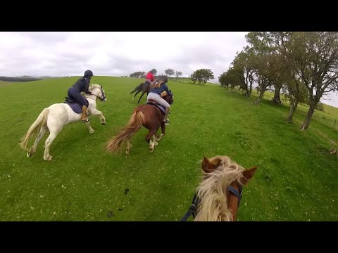
Springhill Farm Teenage Riding Holidays 2020

Another incredible summer working at Springhill Farm - here are the best bits, enjoy! Massive thanks to this year's teenagers for ...

Staying at Sara's beautiful farm in Llanarmon Dyffryn Ceiriog, Wrexham, North Wales - August 2020

Drove up to visit Sara's beautiful farm for the first time with Cardiff Uni mates. Had some food and a few drinks at The Hand pub ...

Mavic mini drone footage Welsh Mountains!

Mavic mini drone footage Ceriog valley.

Nearby Amenities

Located within 500m of 52.904665,-3.2070134
Direction: SSE
Generator Method: photovoltaic
Generator Output Electricity: yes
Generator Solar Modules: 16
Generator Source: solar
Generator Type: solar_photovoltaic_panel
Location: roof
Power: generator
Source: Bing
Lat/Long: 52.9043818/-3.2112426
The data included in this document is from www.openstreetmap.org. The data is made available under ODbL.

Have you been to Coed Penlan?

Leave your review of Coed Penlan below (or comments, questions and feedback).