Coed Cariad
Wood, Forest in Monmouthshire
Wales
Coed Cariad

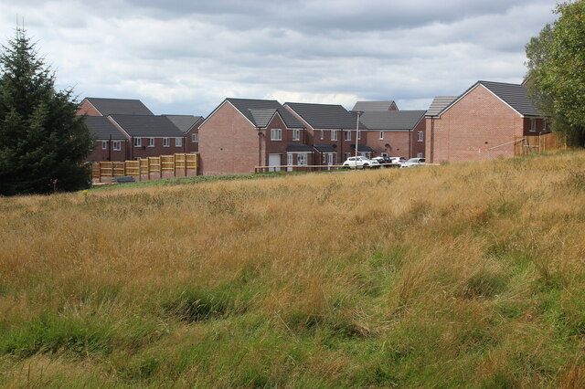
Coed Cariad is a woodland area located in Monmouthshire, Wales. Covering an expansive area, it is known for its dense and picturesque forest. The wood is situated near the village of Trellech, providing an enchanting escape for nature enthusiasts and outdoor adventurers alike.
The woodland is a haven for various species of flora and fauna, with a diverse range of trees including oak, beech, and birch. The forest floor is carpeted with a rich tapestry of wildflowers, adding vibrancy and color to the surroundings. Visitors can expect to encounter an array of wildlife, including deer, squirrels, and a variety of bird species.
Coed Cariad offers a multitude of walking and hiking trails, allowing visitors to explore the natural wonders of the area. The paths wind through the forest, offering breathtaking views and opportunities for peaceful contemplation. The woodland is also intersected by streams and small waterfalls, further enhancing the tranquility of the environment.
For those looking for a more immersive experience, the wood offers camping facilities. This allows visitors to truly connect with nature and spend the night under the starry sky, surrounded by the calming sounds of the forest.
Coed Cariad is a natural gem in Monmouthshire, offering a peaceful retreat away from the hustle and bustle of everyday life. Its beauty and serenity make it a popular destination for nature lovers and those seeking solace in the great outdoors.
If you have any feedback on the listing, please let us know in the comments section below.
Coed Cariad Images
Images are sourced within 2km of 51.666399/-3.180032 or Grid Reference ST1897. Thanks to Geograph Open Source API. All images are credited.


Coed Cariad is located at Grid Ref: ST1897 (Lat: 51.666399, Lng: -3.180032)
Unitary Authority: Caerphilly
Police Authority: Gwent
What 3 Words
///reverted.unsigned.closet. Near Blackwood, Caerphilly
Nearby Locations
Related Wikis
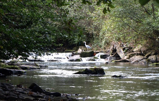
Sirhowy River
The Sirhowy River (Welsh language : Afon Sirhywi) is a river in Wales and a tributary of the Ebbw River. == Sources == The Sirhowy River has its source...

Penmaen, Caerphilly
Penmain or Penmaen is a hamlet and community in Caerphilly county borough, south Wales, within the historic boundaries of Monmouthshire. It is situated...

Penmaen Halt railway station
Penmaen Halt railway station served the hamlet of Penmaen, in the historical county of Monmouthshire, Wales, from 1927 to 1939 on the Penar branch line...
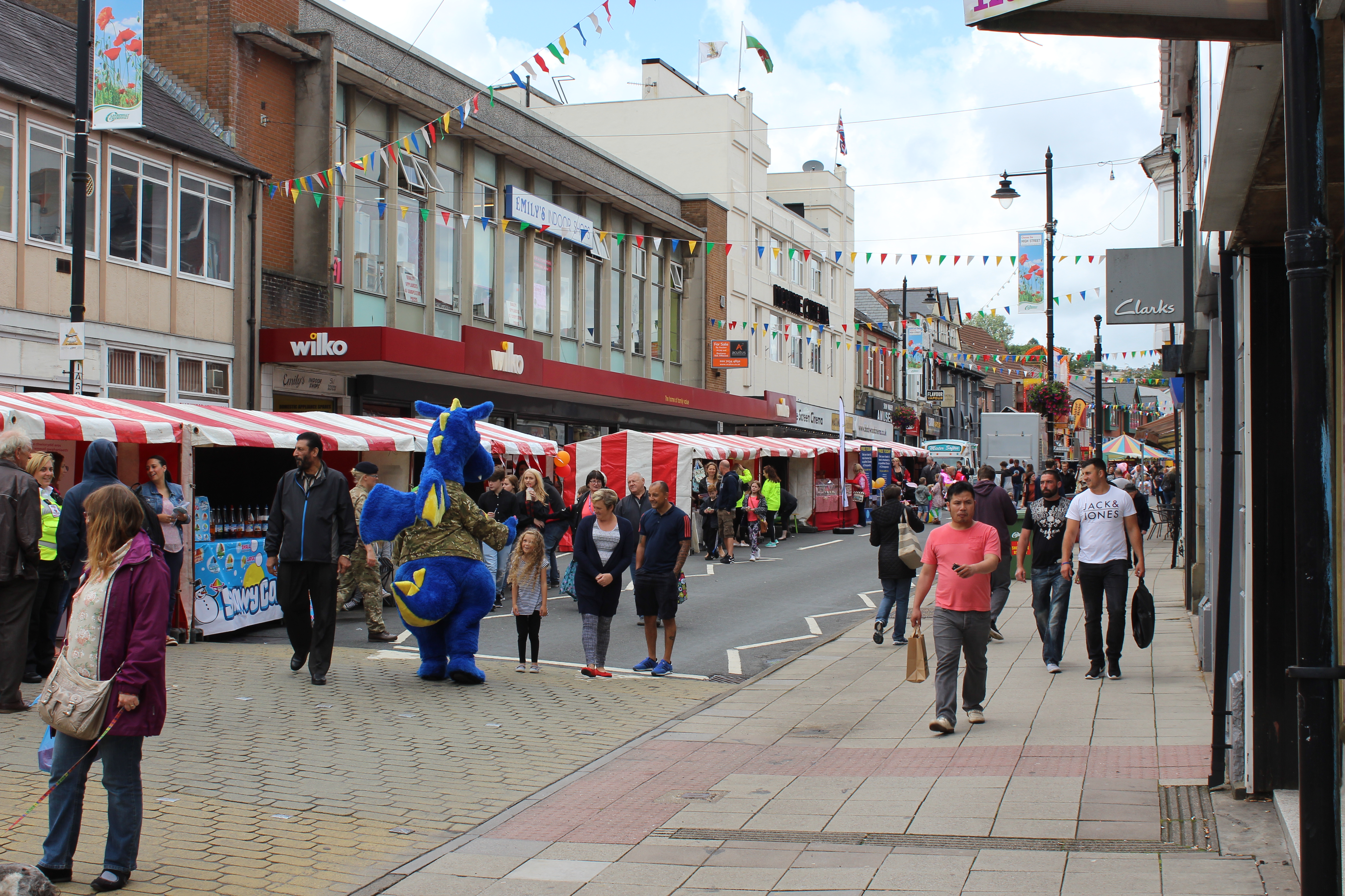
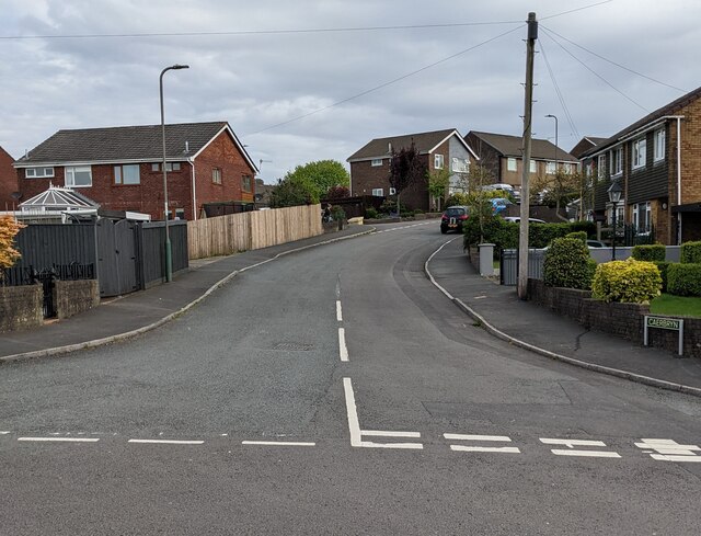
Blackwood, Caerphilly
Blackwood (Welsh: Coed Duon) is a town, community and an electoral ward on the Sirhowy River in the South Wales Valleys administered as part of Caerphilly...
Oakdale Comprehensive School
Oakdale Comprehensive School was a comprehensive school located in the village of Oakdale, Caerphilly Oakdale in Caerphilly county, Wales. The total enrollment...
Cwmbran bus station
Cwmbran bus station (Welsh: Gorsaf bws Cwmbrân) is a bus terminus and interchange located in the town centre of Cwmbran, South Wales. == Background... ==
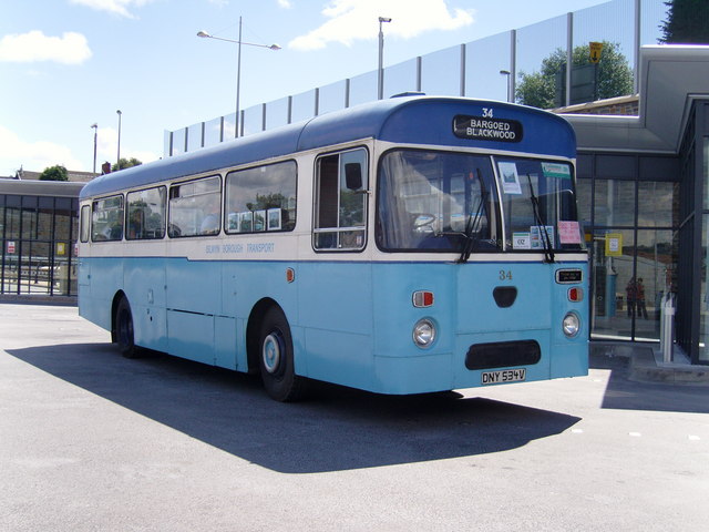
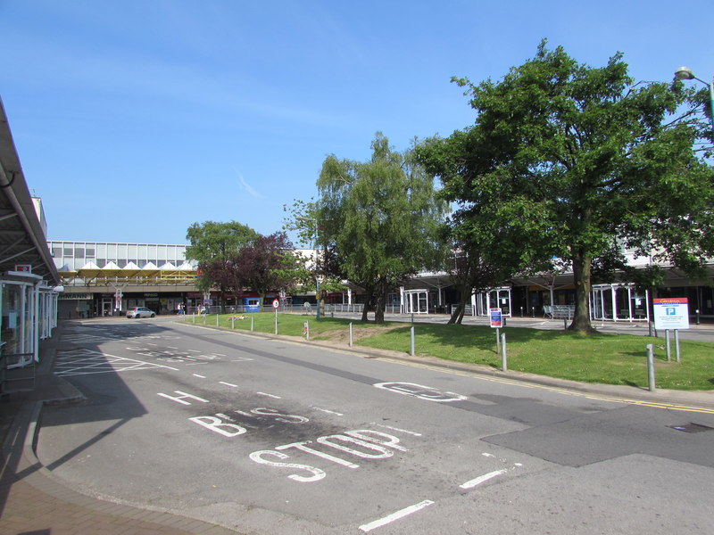
Blackwood Interchange
Blackwood Interchange (Welsh: Cyfnewidfa Coed Duon) is a bus station located in the town centre of Blackwood, Caerphilly, South Wales. It is situated on...
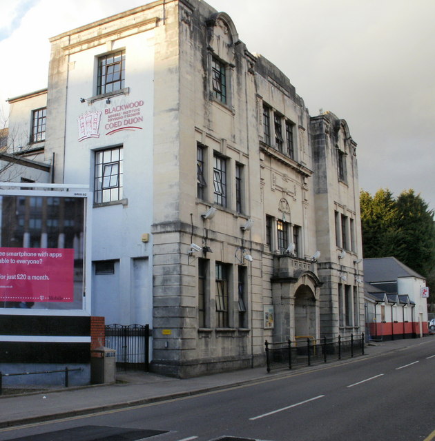
Blackwood Miners Welfare Institute
The Blackwood Miners Welfare Institute (Welsh: Sefydliad y Glowyr Coed Duon) is a Grade II* listed building located at the north end of Blackwood High...
Nearby Amenities
Located within 500m of 51.666399,-3.180032Have you been to Coed Cariad?
Leave your review of Coed Cariad below (or comments, questions and feedback).