Cadley

Settlement in Lancashire Preston

England

Cadley

A6 North Road, Preston
A6 North Road, Preston Credit: Colin Pyle

Cadley is a small village located in the county of Lancashire, in the northwest of England. Situated approximately two miles north of the city of Preston, Cadley is part of the civil parish of Fulwood and is nestled within the picturesque Ribble Valley.

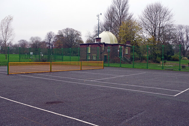
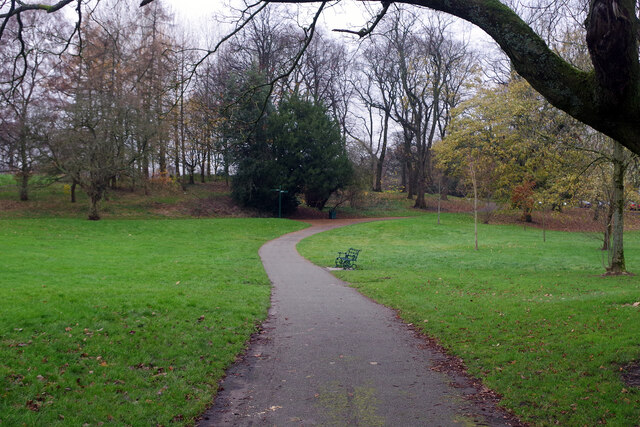
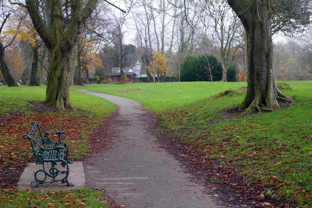
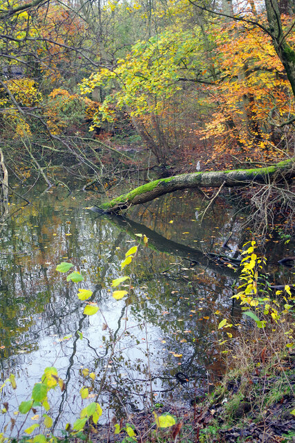
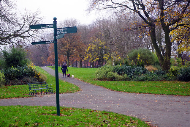
The village is predominantly residential, characterized by a mix of traditional stone-built cottages and more modern housing developments. It enjoys a tranquil and scenic setting, surrounded by lush green countryside and rolling hills. The area is known for its natural beauty, with numerous walking paths and nature reserves nearby, offering residents and visitors ample opportunities for outdoor activities and exploration.

Cadley benefits from its proximity to Preston, a vibrant city with a rich history and a wide range of amenities. Residents have easy access to a variety of shops, supermarkets, restaurants, and entertainment venues. Additionally, Cadley is well-connected to the rest of Lancashire and beyond, with excellent transport links including nearby motorway access and regular bus services.

The village is also home to a few local amenities, including a primary school, a community center, and a small park, providing residents with convenient facilities within walking distance. The community in Cadley is known for its friendly and welcoming atmosphere, fostering a strong sense of belonging among its residents.

Overall, Cadley offers a peaceful and idyllic living environment, combining the tranquility of rural life with the convenience of nearby urban amenities. Its natural beauty, strong community spirit, and excellent location make it an attractive place to live for individuals and families alike.

If you have any feedback on the listing, please let us know in the comments section below.
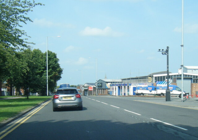
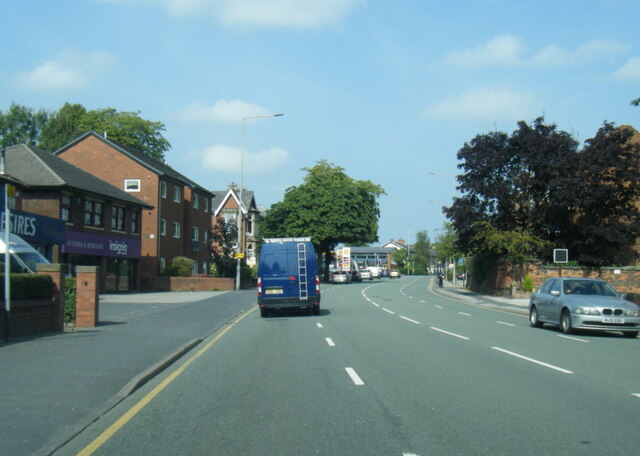
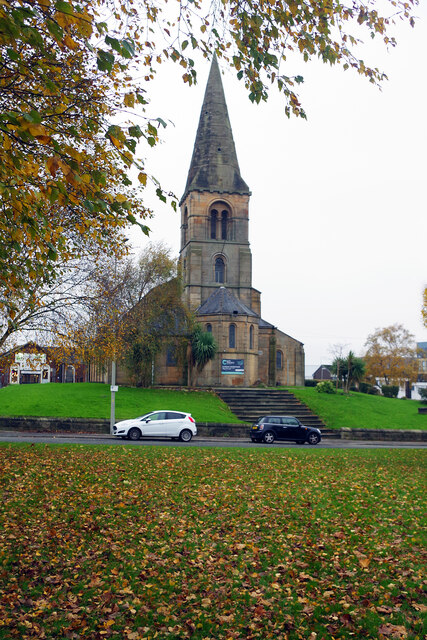
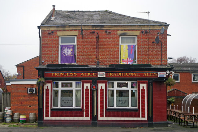
Cadley Images

Images are sourced within 2km of 53.778997/-2.722921 or Grid Reference SD5231. Thanks to Geograph Open Source API. All images are credited.

A6 North Road, Preston
A6 Garstang Road northbound in Fulwood
Industrial Units on Fylde Road View from Fylde Road Viaduct
Industrial Units on Fylde Road
View from Fylde Road Viaduct
Old Milestone Marker 55-02 F (between bridges 15-14), Lancaster Canal (between bridges old marker) Old Milestone located by the side of the Lancaster Canal
This milestone is 2 miles from the centre of Preston and 55 miles from Kendal

Inscription reads:- 
Preston / 2 :: Garstang / 15 (missing) 

Milestone Society National ID: LAN-02
Old Milestone Marker 55-02 F (between bridges 15-14), Lancaster Canal (between bridges old marker)
Old Milestone located by the side of the Lancaster Canal This milestone is 2 miles from the centre of Preston and 55 miles from Kendal Inscription reads:- Preston / 2 :: Garstang / 15 (missing) Milestone Society National ID: LAN-02
Milestone Marker 55-02 F (between bridges 15-14), Lancaster Canal Milestone located by the side of the Lancaster Canal
This milestone is 2 miles from the centre of Preston and 55 miles from Kendal

Inscription reads:- 
Preston / 2 :: Garstang / 15 

Milestone Society National ID: LAN-02R
Milestone Marker 55-02 F (between bridges 15-14), Lancaster Canal
Milestone located by the side of the Lancaster Canal This milestone is 2 miles from the centre of Preston and 55 miles from Kendal Inscription reads:- Preston / 2 :: Garstang / 15 Milestone Society National ID: LAN-02R
Milestone Marker 56-01 F (between bridges 11-10), Lancaster Canal Milestone located by the side of the Lancaster Canal
This milestone is 1 miles from the centre of Preston and 56 miles from Kendal

Inscription reads:- 

Preston / 1 :: Garstang / 16 
Milestone Society National ID: LAN-01R
Milestone Marker 56-01 F (between bridges 11-10), Lancaster Canal
Milestone located by the side of the Lancaster Canal This milestone is 1 miles from the centre of Preston and 56 miles from Kendal Inscription reads:- Preston / 1 :: Garstang / 16 Milestone Society National ID: LAN-01R
St Thomas' Church, Preston This grade II listed church was designed by John Latham and built between 1837 and 1839. It was declared redundant by the Church of England in 1983 and is used by City Church Preston, part of a Pentecostal denomination.
St Thomas' Church, Preston
This grade II listed church was designed by John Latham and built between 1837 and 1839. It was declared redundant by the Church of England in 1983 and is used by City Church Preston, part of a Pentecostal denomination.
The Princess Alice, Preston The Princess Alice on Cambridge Walk is a traditional Victorian back-street pub that has survived despite all the redevelopment around it.
The Princess Alice, Preston
The Princess Alice on Cambridge Walk is a traditional Victorian back-street pub that has survived despite all the redevelopment around it.
Tom Benson Stone, Moor Park Unfortunately the stone seems to have lost its plaque but it is here to commemorate the achievements of Tom Benson, a long-distance walker. Benson was a local man who set a world record in 1986 by walking 415 miles non-stop around Moor Park. He did this when he was in his fifties.
Tom Benson Stone, Moor Park
Unfortunately the stone seems to have lost its plaque but it is here to commemorate the achievements of Tom Benson, a long-distance walker. Benson was a local man who set a world record in 1986 by walking 415 miles non-stop around Moor Park. He did this when he was in his fifties.
Moor Park High pressure conditions have created a bleak grey day in Preston, with no sign of the sun at all, but there is still some autumn colour in Moor Park at the end of November.
Moor Park
High pressure conditions have created a bleak grey day in Preston, with no sign of the sun at all, but there is still some autumn colour in Moor Park at the end of November.
Jeremiah Horrocks Observatory, Moor Park This observatory in the north-west part of Moor Park was designed by George James Gibbs, at the time the honorary curator of Preston Municipal Observatory, and officially opened in 1927 to coincide with a total eclipse of the sun. It was named after Jeremiah Horrocks, a 17th century English astronomer who was the first person to show that the Moon orbited around the Earth in an elliptical pattern. Today the building belongs to the University of Central Lancashire although light pollution prevents it from being used for serious astronomy.
Jeremiah Horrocks Observatory, Moor Park
This observatory in the north-west part of Moor Park was designed by George James Gibbs, at the time the honorary curator of Preston Municipal Observatory, and officially opened in 1927 to coincide with a total eclipse of the sun. It was named after Jeremiah Horrocks, a 17th century English astronomer who was the first person to show that the Moon orbited around the Earth in an elliptical pattern. Today the building belongs to the University of Central Lancashire although light pollution prevents it from being used for serious astronomy.
Moor Park Weather Station The weather station, in the north-west corner of Moor Park, is adjacent to the Jeremiah Horrocks Observatory.
Moor Park Weather Station
The weather station, in the north-west corner of Moor Park, is adjacent to the Jeremiah Horrocks Observatory.
Tennis court in Moor Park This public tennis court has been fitted with a vandal-proof and weather-resistant steel net. We are unlikely to see these at Wimbledon anytime soon, but in a location like this it makes a great deal of sense. Beyond the court is the Jeremiah Horrocks Observatory.
Tennis court in Moor Park
This public tennis court has been fitted with a vandal-proof and weather-resistant steel net. We are unlikely to see these at Wimbledon anytime soon, but in a location like this it makes a great deal of sense. Beyond the court is the Jeremiah Horrocks Observatory.
Moor Park This view shows the path round the northern side of the park. Moor Park was created when Preston Council enclosed 100 acres of Preston Moor making it the first municipal park in the new industrial towns of north-west England. Improvements were carried out between 1862 and 1865 by garden designer Edward Milner using the labour of unemployed cotton workers.
Moor Park
This view shows the path round the northern side of the park. Moor Park was created when Preston Council enclosed 100 acres of Preston Moor making it the first municipal park in the new industrial towns of north-west England. Improvements were carried out between 1862 and 1865 by garden designer Edward Milner using the labour of unemployed cotton workers.
Moor Park This path winds round the northern side of the park with North Lodge in the background. Moor Park was created when Preston Council enclosed 100 acres of Preston Moor making it the first municipal park in the new industrial towns of north-west England. Improvements were carried out between 1862 and 1865 by garden designer Edward Milner using the labour of unemployed cotton workers.
Moor Park
This path winds round the northern side of the park with North Lodge in the background. Moor Park was created when Preston Council enclosed 100 acres of Preston Moor making it the first municipal park in the new industrial towns of north-west England. Improvements were carried out between 1862 and 1865 by garden designer Edward Milner using the labour of unemployed cotton workers.
The Serpentine, Moor Park Autumn colours abound around this pond in the north-eastern section of Moor Park. The Serpentine was originally created in the 1830s but has changed its size and shape many times since. It is home to a variety of wetland birds.
The Serpentine, Moor Park
Autumn colours abound around this pond in the north-eastern section of Moor Park. The Serpentine was originally created in the 1830s but has changed its size and shape many times since. It is home to a variety of wetland birds.
Moor Park A lady walks her dogs along the southern side of Moor Park. Moor Park was created when Preston Council enclosed 100 acres of Preston Moor making it the first municipal park in the new industrial towns of north-west England. Improvements were carried out between 1862 and 1865 by garden designer Edward Milner using the labour of unemployed cotton workers.
Moor Park
A lady walks her dogs along the southern side of Moor Park. Moor Park was created when Preston Council enclosed 100 acres of Preston Moor making it the first municipal park in the new industrial towns of north-west England. Improvements were carried out between 1862 and 1865 by garden designer Edward Milner using the labour of unemployed cotton workers.
Tom Benson Way, Cottam Named after Preston's famous marathon walker, this modern road, opened in 1985, is a stretch of the B6241 giving access to some of the city's north-western suburbs.
Tom Benson Way, Cottam
Named after Preston's famous marathon walker, this modern road, opened in 1985, is a stretch of the B6241 giving access to some of the city's north-western suburbs.
Show me another place!

Cadley is located at Grid Ref: SD5231 (Lat: 53.778997, Lng: -2.722921)

Administrative County: Lancashire

District: Preston

Police Authority: Lancashire

What 3 Words

///stews.weds.begins. Near Preston, Lancashire

Nearby Locations

Nooklands Cadley

Related Wikis

Cadley, Lancashire

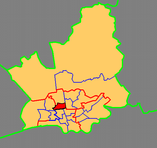
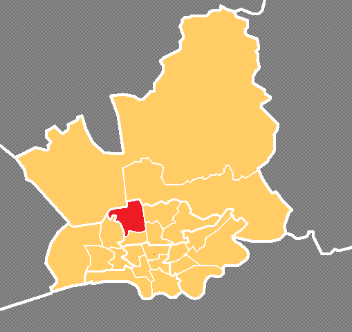
Cadley is a largely residential suburban area of Preston, Lancashire, England, and an electoral ward. The population of the ward taken at the 2011 census...

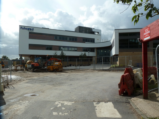
Our Lady's Catholic High School, Fulwood

Our Lady's Catholic High School is a Roman Catholic secondary school, situated in Fulwood, a suburb in the city of Preston in Lancashire, England. It is...

The Street That Cut Everything

The Street That Cut Everything is a British television documentary presented by BBC political editor Nick Robinson. Billed as a social experiment, 50 residents...

Tulketh Mill

Tulketh Mill is an Edwardian former cotton-spinning mill in Balcarres Road, Tulketh, Preston, Lancashire, England. It was designed by Fred Dixon of Oldham...

Fulwood Academy

Fulwood Academy (formerly Fulwood High School) is a coeducational secondary school located in Fulwood, Preston) in the English county of Lancashire.Previously...

Tulketh

Tulketh is an electoral ward in Preston, Lancashire, England. The Tulketh Mill is a notable landmark in the ward.Tulketh returns three members to Preston...

Greyfriars, Preston

Greyfriars is a largely residential suburban area of Preston, Lancashire, England, and an electoral ward. It is nowadays usually considered to be a district...

Corpus Christi Catholic High School, Fulwood

Corpus Christi Catholic High School is a coeducational secondary school located in Fulwood (near Preston) in the English county of Lancashire.It is a voluntary...

Nearby Amenities

Located within 500m of 53.778997,-2.722921
Cadley
Place: neighbourhood
Source: OS_OpenData_StreetView
Lat/Long: 53.779111/-2.7236044
Mini Roundabout
Direction: clockwise
Lat/Long: 53.7808073/-2.7190851
Mini Roundabout
Direction: clockwise
Lat/Long: 53.7833005/-2.7222515
Turning Circle
Lat/Long: 53.7795854/-2.7266458
Barrier: bollard
Bicycle: yes
Bollard: fixed
Foot: yes
Lat/Long: 53.7768226/-2.7246223
Barrier: bollard
Motor Vehicle: no
Lat/Long: 53.7777927/-2.7277916
Barrier: stile
Material: stone
Stile: squeezer
Lat/Long: 53.781577/-2.7185248
Barrier: stile
Material: stone
Stile: squeezer
Lat/Long: 53.7816527/-2.7192473
One Stop
Addr City: Preston
Addr Housenumber: 72
Addr Postcode: PR2 3JX
Addr Street: Black Bull Lane
Brand: One Stop
Brand Wikidata: Q65954217
Contact Website: https://www.onestop.co.uk/store?store=6cb52d56-d4bc-4c50-9d6d-01440eb920f8
Fhrs Id: 482211
Opening Hours: 06:00-23:00
Shop: convenience
Lat/Long: 53.7828216/-2.7189241
Crossing
Crossing: unmarked
Crossing Island: no
Crossing Markings: no
Supervised: yes
Lat/Long: 53.7807358/-2.7193278
Harpers
Shop: hairdresser
Lat/Long: 53.7766559/-2.7181077
Post Box
Post Box Type: pillar
Ref: PR2 285D
Lat/Long: 53.7756824/-2.7224281
Give Way
Direction: forward
Lat/Long: 53.7750648/-2.72276
Bus Stop
Bus: yes
Public Transport: platform
Lat/Long: 53.7802294/-2.7188706
Waste Basket
Lat/Long: 53.78021/-2.7188566
Bus Stop
Bus: yes
Public Transport: platform
Lat/Long: 53.7803538/-2.7186787
Kindergarten
Poppy & Jack's Nursery and Pre-school
Addr City: Preston
Addr Housenumber: 22
Addr Postcode: PR2 3PX
Addr Street: Black Bull Lane
Fhrs Id: 90653
Lat/Long: 53.7798643/-2.718103
Social Facility
The Brooklands Residential Home
Addr City: Preston
Addr Housenumber: 6
Addr Postcode: PR2 3PU
Addr Street: Black Bull Lane
Fhrs Id: 136976
Social Facility: group_home
Social Facility For: senior
Lat/Long: 53.7783931/-2.71683
Atm
Lat/Long: 53.777114/-2.7162787
Bus Stop
Bus: yes
Public Transport: platform
Lat/Long: 53.7774555/-2.7158518
Bus Stop
Bus: yes
Public Transport: platform
Lat/Long: 53.7773117/-2.7161467
Waste Basket
Lat/Long: 53.7774527/-2.7162637
Waste Basket
Lat/Long: 53.7774583/-2.7157957
Bus Stop
Bus: yes
Public Transport: platform
Lat/Long: 53.7781849/-2.7268949
Bus Stop
Bus: yes
Naptan AtcoCode: 2500LAA07464
Naptan NaptanCode: lanjpgdg
Public Transport: platform
Lat/Long: 53.7781431/-2.7273494
The data included in this document is from www.openstreetmap.org. The data is made available under ODbL.

Have you been to Cadley?

Leave your review of Cadley below (or comments, questions and feedback).