Cae-bryn Wood

Wood, Forest in Montgomeryshire

Wales

Cae-bryn Wood

Junction of the A495 andA490
Junction of the A495 andA490 Credit: Steven Brown

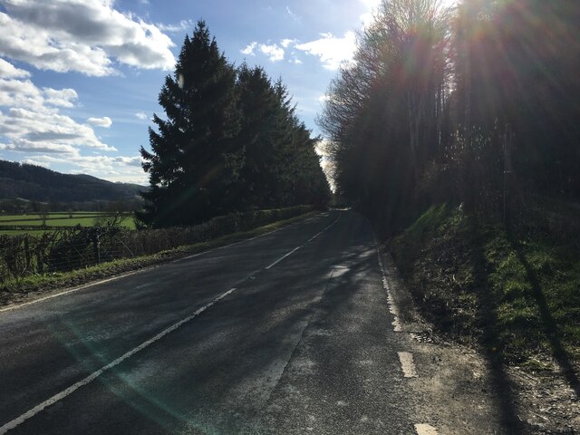
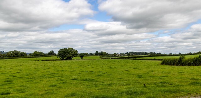
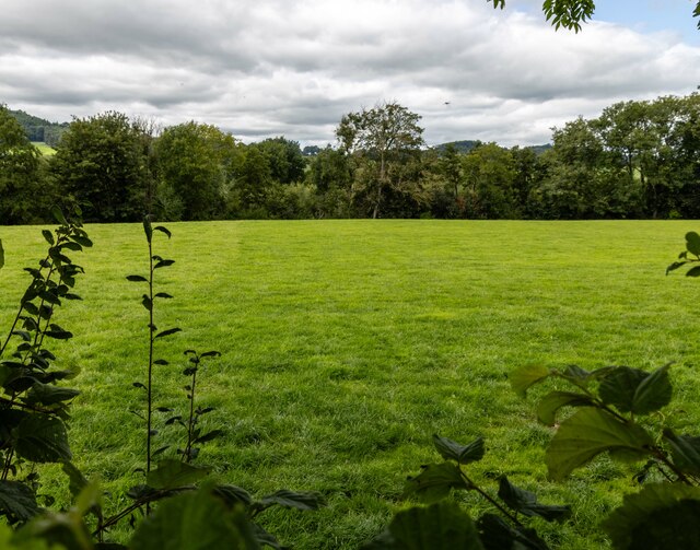
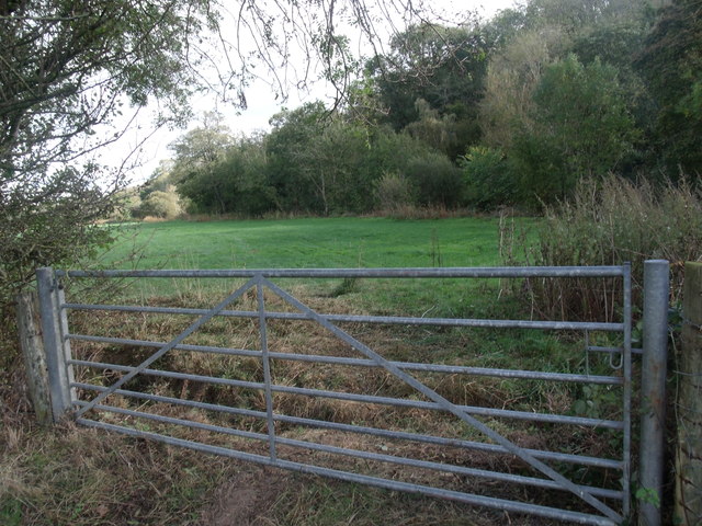
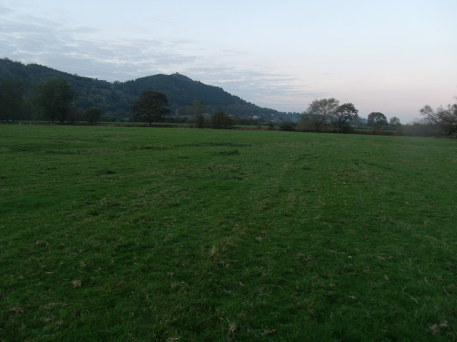
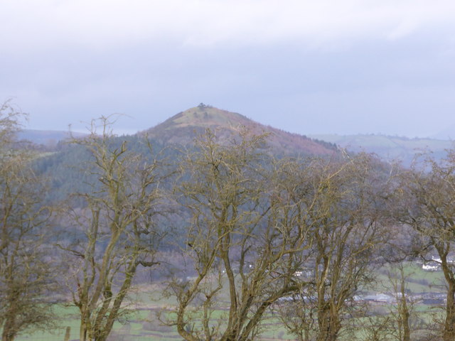
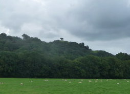
Cae-bryn Wood is a picturesque forest located in Montgomeryshire, Wales. The wood covers an area of approximately 20 hectares and is a popular destination for nature lovers and hikers. The woodland is predominantly composed of oak and beech trees, creating a diverse and rich habitat for various wildlife species.

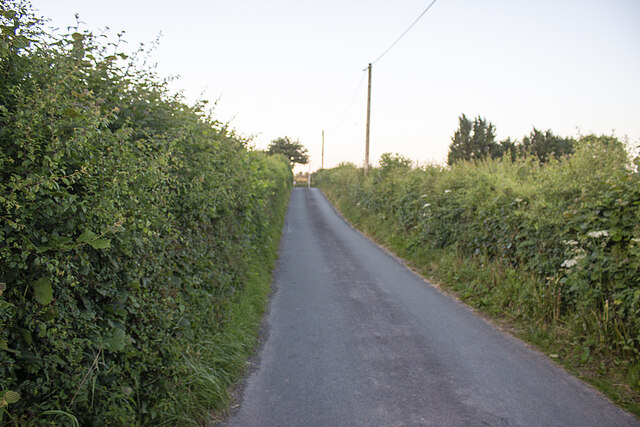
Visitors to Cae-bryn Wood can enjoy peaceful walks along well-maintained trails that wind through the forest, offering stunning views of the surrounding countryside. Birdwatchers may spot a variety of bird species, including woodpeckers, robins, and owls. The wood is also home to a range of mammals, such as squirrels, deer, and foxes.

In addition to its natural beauty, Cae-bryn Wood also has historical significance. The wood is believed to have been used for charcoal production in the past, and remnants of old charcoal burning platforms can still be found within the forest.

Overall, Cae-bryn Wood is a charming and tranquil woodland that offers a peaceful retreat for visitors looking to immerse themselves in nature.

If you have any feedback on the listing, please let us know in the comments section below.

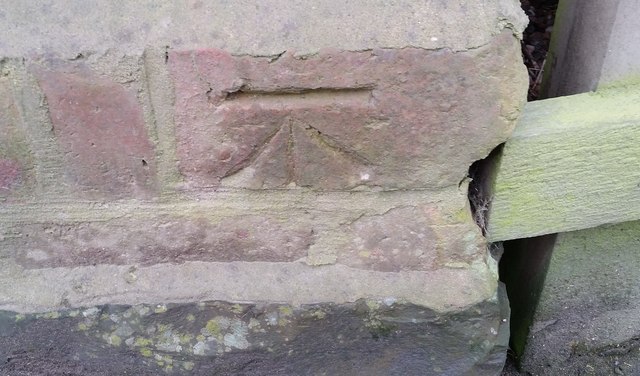
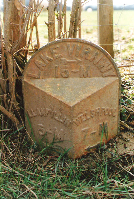
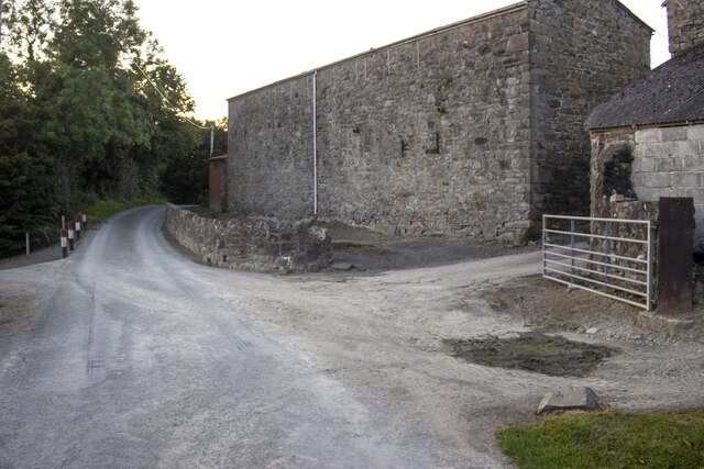
Cae-bryn Wood Images

Images are sourced within 2km of 52.736901/-3.2177764 or Grid Reference SJ1716. Thanks to Geograph Open Source API. All images are credited.

Junction of the A495 andA490
A495 towards Meifod
A495 towards Meifod
Cwm Farm Pasture at Cwm Farm.
Cwm Farm
Pasture at Cwm Farm.
Dryll Pool Pasture near Dryll Pool alongside the River Vyrnwy.
Dryll Pool
Pasture near Dryll Pool alongside the River Vyrnwy.
Ordnance Survey Cut Mark This OS cut mark can be found on the south face of Christ Church. It marks a point 153.374m above mean sea level.
Ordnance Survey Cut Mark
This OS cut mark can be found on the south face of Christ Church. It marks a point 153.374m above mean sea level.
Ordnance Survey Cut Mark This OS cut mark can be found on the outbuilding at The Stumble Inn. It marks a point 152.038m above mean sea level.
Ordnance Survey Cut Mark
This OS cut mark can be found on the outbuilding at The Stumble Inn. It marks a point 152.038m above mean sea level.
Old Milepost by the A490, north of Pontysgawrhyd, Meifod Parish Turner Arrow Casting by the A490, in parish of Meifod (Powys District), North of Pontysgawrhyd, in hedge, West side of road.

Inscription reads:-
: LLANFYLLIN / 5-M / {arrow} : : LAKE VYRNWY / {arrow} / 15-M : : WELSHPOOL / 7-M / {arrow} : 

Grade II listed by Cadw. Reference Number: 15992
<span class="nowrap"><a title="https://cadwpublic-api.azurewebsites.net/reports/listedbuilding/FullReport?lang=&id=15992" rel="nofollow ugc noopener" href="https://cadwpublic-api.azurewebsites.net/reports/listedbuilding/FullReport?lang=&id=15992">Link</a><img style="margin-left:2px;" alt="External link" title="External link - shift click to open in new window" src="https://s1.geograph.org.uk/img/external.png" width="10" height="10"/></span>

Surveyed

Milestone Society National ID: MOT_LFWP05.
Old Milepost by the A490, north of Pontysgawrhyd, Meifod Parish
Turner Arrow Casting by the A490, in parish of Meifod (Powys District), North of Pontysgawrhyd, in hedge, West side of road. Inscription reads:- : LLANFYLLIN / 5-M / {arrow} : : LAKE VYRNWY / {arrow} / 15-M : : WELSHPOOL / 7-M / {arrow} : Grade II listed by Cadw. Reference Number: 15992 LinkExternal link Surveyed Milestone Society National ID: MOT_LFWP05.
Cwm Farm Vernacular farm buildings at Cwm Farm
Cwm Farm
Vernacular farm buildings at Cwm Farm
Minor road and hedgerows Minor road approaching A490
Minor road and hedgerows
Minor road approaching A490
The boundary of Bron-y-Main Looking into the lower fields of Upper Maen, from the Boundary of Bron-y-Main.
The boundary of Bron-y-Main
Looking into the lower fields of Upper Maen, from the Boundary of Bron-y-Main.
Looking towards Upper Maen farm
Allt y Main Parked in lay-bye beside A495 then into forest via bridleway. Then way marked path directly up through wood until forest track is reach and this can be followed round hill until summit. Clear frosty morning.
Name: Allt y Main
Hill number: 2134
Height: 356m / 1168ft
Area: 30E: Bala to Welshpool
Class: Ma
Grid ref: SJ 16214 15149
Summit feature: trig point
Drop: 171m
Col: 185m  SJ156156
Allt y Main
Parked in lay-bye beside A495 then into forest via bridleway. Then way marked path directly up through wood until forest track is reach and this can be followed round hill until summit. Clear frosty morning. Name: Allt y Main Hill number: 2134 Height: 356m / 1168ft Area: 30E: Bala to Welshpool Class: Ma Grid ref: SJ 16214 15149 Summit feature: trig point Drop: 171m Col: 185m SJ156156
Cil-bach junction from A490
Hill across the Vyrnwy valley The valley is often full of great views.
Hill across the Vyrnwy valley
The valley is often full of great views.
A495 nearing the A490 junction
A490 near Ystym Colwyn farm
A490 on Pont Ysgawrhyd
A490 at Ystum Colwyn A495 junction ahead
A490 at Ystum Colwyn
A495 junction ahead
Show me another place!

Cae-bryn Wood is located at Grid Ref: SJ1716 (Lat: 52.736901, Lng: -3.2177764)

Unitary Authority: Powys

Police Authority: Dyfed Powys

What 3 Words

///garlic.revealing.saloons. Near Llanfechain, Powys

Nearby Locations

Coed y Capel Cae-bryn Wood

Related Wikis

Bwlch-y-cibau

Bwlch-y-Cibau also known as the "pass of the husks" in English, is a small village located between Llanfyllin and Welshpool. It is situated on the A490...

Allt-y-Main

Allt-y-Main is a hamlet in the community of Meifod, Powys, Wales, which is 86 miles (139 km) from Cardiff and 156 miles (252 km) from London. == References... ==

Bryngwyn Halt railway station

Bryngwyn Halt railway station is a disused station that was on the Llanfyllin Branch of the Cambrian Railways. It served the villages of Bwlch-y-cibau...

Lonely Tree

The Lonely Tree was a Scots pine on a hill near Llanfyllin, Powys, Wales. Visible from much of the town it was a local landmark with several traditions...

Nearby Amenities

Located within 500m of 52.736901,-3.2177764
Give Way
Direction: forward
Lat/Long: 52.7339177/-3.2163201
Moel Y Main
Ele: 305
Natural: peak
Lat/Long: 52.7346754/-3.2238157
Direction: 145
Generator Method: photovoltaic
Generator Output Electricity: yes
Generator Solar Modules: 16
Generator Source: solar
Generator Type: solar_photovoltaic_panel
Location: roof
Power: generator
Lat/Long: 52.7407169/-3.2143781
Stile
Lat/Long: 52.7403703/-3.2218855
The data included in this document is from www.openstreetmap.org. The data is made available under ODbL.

Have you been to Cae-bryn Wood?

Leave your review of Cae-bryn Wood below (or comments, questions and feedback).