Clwyd Forest
Wood, Forest in Denbighshire
Wales
Clwyd Forest
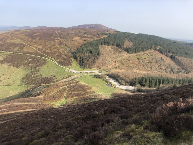
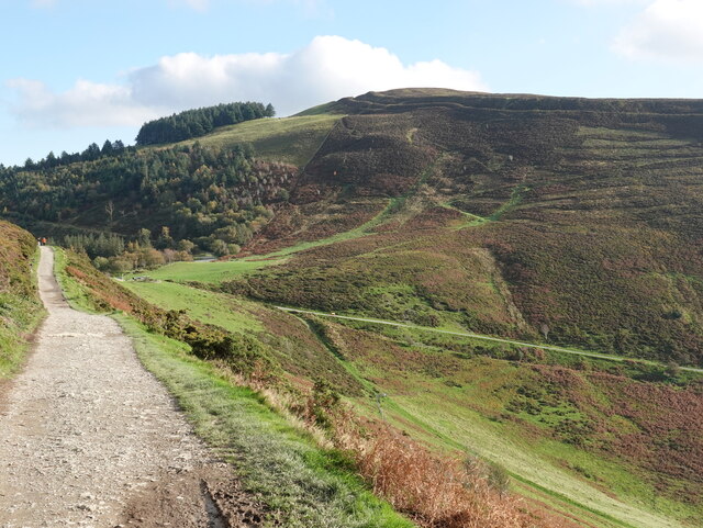
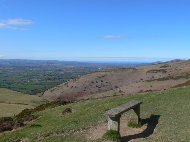
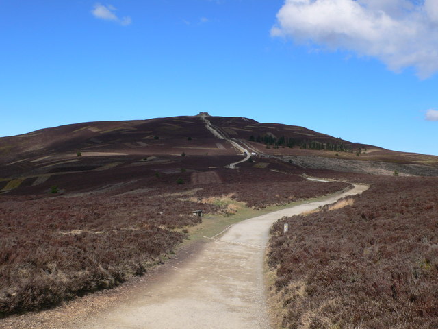
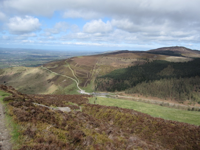
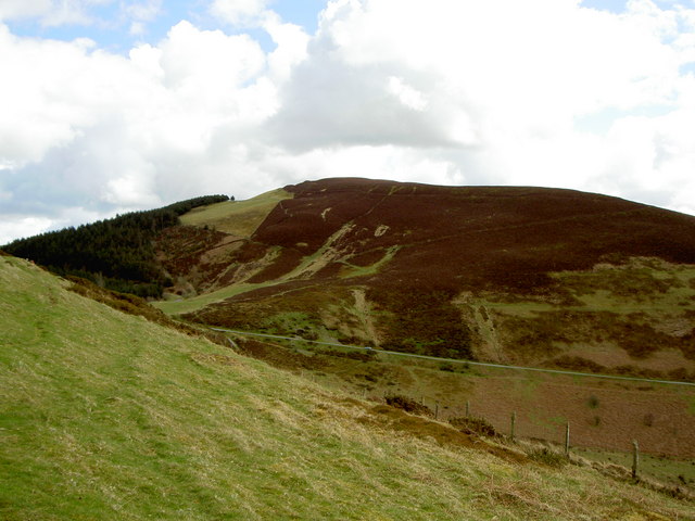
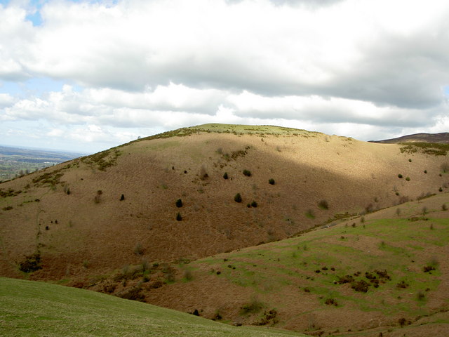
Clwyd Forest is a stunning woodland area located in Denbighshire, Wales. Known for its natural beauty and serene atmosphere, it covers an expansive area of approximately 15,000 hectares. The forest is situated within the stunning Clwydian Range and Dee Valley Area of Outstanding Natural Beauty, offering visitors breathtaking views and a sense of tranquility.
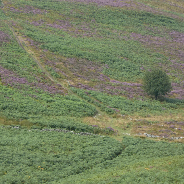
The forest is composed of a diverse range of tree species, including oak, beech, and pine, creating a rich and varied ecosystem. The dense woodland provides a habitat for a wide array of flora and fauna, making it a popular destination for nature enthusiasts and wildlife lovers.
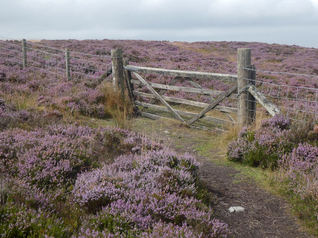
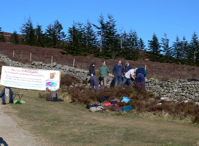
Visitors to Clwyd Forest can enjoy a range of outdoor activities, including walking, cycling, and horseback riding. The forest boasts an extensive network of well-maintained trails and paths, catering to all levels of ability. These paths lead through enchanting woodland, babbling streams, and picturesque glades, offering a true escape from the hustle and bustle of everyday life.
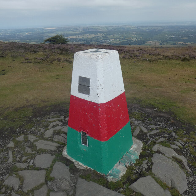
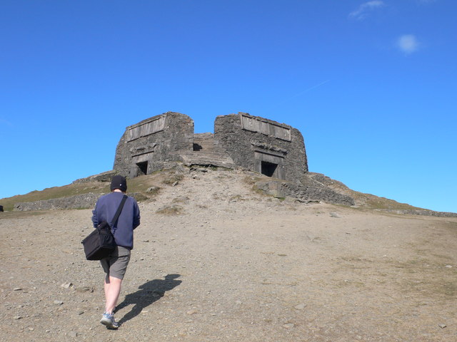
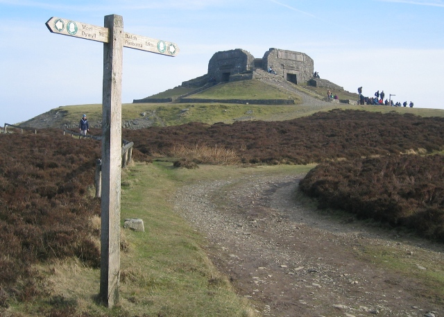
For those seeking a more immersive experience, Clwyd Forest offers several campsites and picnic areas, allowing visitors to fully embrace the natural surroundings. The forest is also home to a number of historical sites, such as the ancient hillfort of Moel Arthur, providing a glimpse into the area's rich cultural heritage.
Overall, Clwyd Forest is a captivating destination that showcases the beauty of Denbighshire's natural landscape. Whether seeking adventure or solace, visitors are sure to find a fulfilling experience within the tranquility of this remarkable forest.
If you have any feedback on the listing, please let us know in the comments section below.
Clwyd Forest Images
Images are sourced within 2km of 53.147461/-3.2417285 or Grid Reference SJ1761. Thanks to Geograph Open Source API. All images are credited.


Clwyd Forest is located at Grid Ref: SJ1761 (Lat: 53.147461, Lng: -3.2417285)
Unitary Authority: Denbighshire
Police Authority: North Wales
What 3 Words
///thatched.required.nanny. Near Ruthin, Denbighshire
Nearby Locations
Related Wikis
Moel Famau
Moel Famau is the highest hill in the Clwydian Range and the highest point (county top) of the county of Flintshire in Wales (both the historic county...
Bwlch Penbarras
Bwlch Penbarras (also known as Bwlch Pen Barras, or the Old Bwlch) is a mountain pass in the Clwydian Range and Dee Valley Area of Outstanding Natural...
Tafarn-y-Gelyn
Tafarn-y-Gelyn is a small village in the east of Denbighshire, North East Wales. Situated near Llanferres, at the foot of Moel Famau, just off the A494...
Foel Fenlli
Foel Fenlli or Moel Fenlli is a hill in Denbighshire, North Wales. With a summit at an elevation of 511 metres (1,677 ft), it is the second highest peak...
Moel y Gaer, Llanbedr
Moel y Gaer (Welsh for "bald hill of the fortress"), also known as Moel-y-Gaer Camp or Moel y Gaer Hillfort, is an Iron Age hillfort located on a western...

Llanferres
Llanferres is a village and community in the county of Denbighshire in Wales. At the 2001 Census the population of the village was recorded as 676, increasing...
Cilcain
Cilcain is a village and community, near Mold in Flintshire, north-east Wales. The village has an industrial history and includes the Millennium Woods...
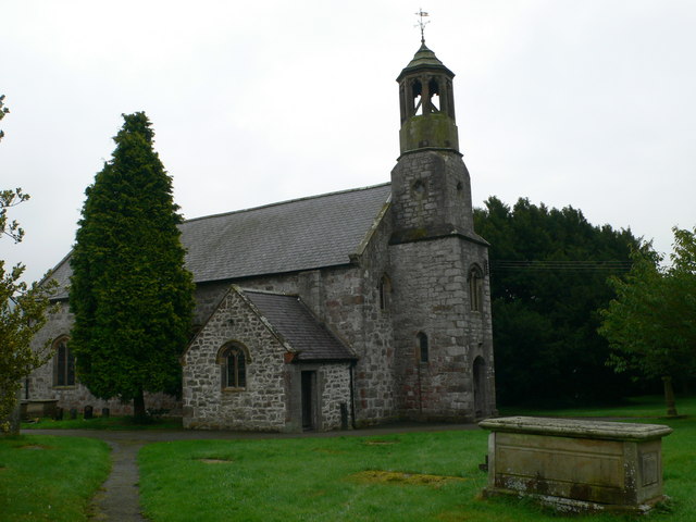
St Berres' Church, Llanferres
St Berres' Church, Llanferres, is in the village of Llanferres, Denbighshire, Wales on the A494 road between Mold and Ruthin. It is an Anglican church...
Have you been to Clwyd Forest?
Leave your review of Clwyd Forest below (or comments, questions and feedback).