Cade Street
Settlement in Sussex Wealden
England
Cade Street

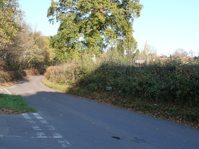
Cade Street is a small village located in Sussex, England. It is situated in the Wealden District, approximately 8 miles southeast of the town of Crowborough. The village is known for its picturesque surroundings, nestled amidst rolling hills and verdant countryside.
Cade Street is a close-knit community with a population of around 500 residents. The village is characterized by its quaint and charming atmosphere, boasting a collection of traditional cottages and historic buildings. The architecture reflects the region's rich history, with some structures dating back several centuries.
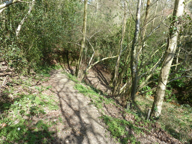
The village is primarily residential, with a scattering of local amenities to cater to the needs of the community. These include a village hall, a small shop, and a pub. The area is popular with nature enthusiasts, as it is surrounded by an abundance of walking and cycling trails, offering breathtaking views of the surrounding countryside.
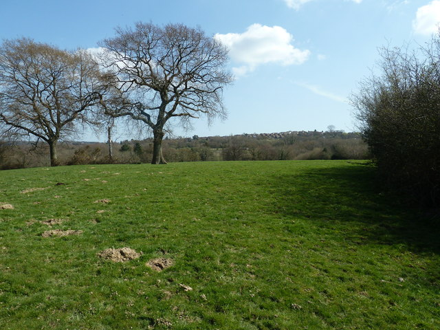
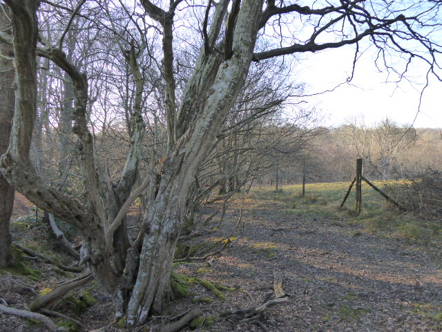
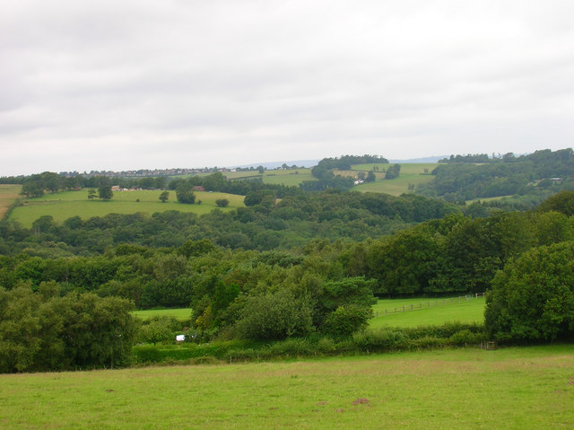
Cade Street benefits from its proximity to the Ashdown Forest, a renowned Area of Outstanding Natural Beauty. This vast forest covers approximately 6,500 acres and is home to diverse wildlife, including deer, birds, and rare plant species. The forest attracts visitors from far and wide, offering opportunities for outdoor activities such as hiking, horse riding, and picnicking.
Overall, Cade Street offers a tranquil and idyllic setting, perfect for those seeking a peaceful retreat in the heart of Sussex. Its natural beauty, historic charm, and friendly community make it an attractive destination for both locals and visitors alike.
If you have any feedback on the listing, please let us know in the comments section below.
Cade Street Images
Images are sourced within 2km of 50.966285/0.28374573 or Grid Reference TQ6021. Thanks to Geograph Open Source API. All images are credited.


Cade Street is located at Grid Ref: TQ6021 (Lat: 50.966285, Lng: 0.28374573)
Administrative County: East Sussex
District: Wealden
Police Authority: Sussex
What 3 Words
///loudness.backtrack.yachting. Near Heathfield, East Sussex
Nearby Locations
Related Wikis

Heathfield Community College
Heathfield Community College is a secondary school near the market town of Heathfield, East Sussex, England. == School Enrollment == The college draws...

All Saints Church, Heathfield
All Saints Church is a Church of England parish church in Heathfield, East Sussex, England. It was constructed in the 14th century and is a Grade II* listed...
Heathfield Park SSSI
Heathfield Park SSSI is a 41-hectare (100-acre) biological Site of Special Scientific Interest east of Heathfield in East Sussex. It is part of Heathfield...

Ebenezer Chapel, Heathfield
Ebenezer Chapel is a Strict Baptist place of worship in the hamlet of Broad Oak, part of the parish of Heathfield in the English county of East Sussex...
Bingletts Wood
Bingletts Wood is a 16-hectare (40-acre) biological Site of Special Scientific Interest east of Heathfield in East Sussex.Part of this ancient wood is...

St Dunstan's Farm Meadows
St Dunstan's Farm Meadows is a 10.2-hectare (25-acre) biological Site of Special Scientific Interest south-east of Heathfield in East Sussex. It is in...

Heathfield, East Sussex
Heathfield is a market town and former civil parish, now in the parish of Heathfield and Waldron, in the Wealden District of East Sussex, England. The...
Heathfield and Waldron
Heathfield and Waldron is a civil parish within the Wealden District of East Sussex, England. Heathfield is surrounded by the High Weald Area of Outstanding...
Related Videos
Heathfield Le Marché (Anglo/French Market) Entertainment 2023, August Bank Hol. Monday (28/08/'23).
Heathfield Le Marché (Anglo/French Market) Entertainment 2023, August Bank Holiday Monday (28/08/2023). An event by the ...

A Much Needed Fire
Vid from a couple of years ago, previously uploaded to the Carp Crew channel. It was surprisingly cold that night. The fishing was ...

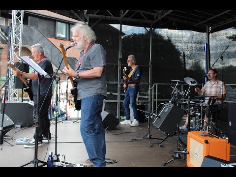
Nutbush City Limits performed by SWAY ALLSTARS at Heathfield (E. Sussex) Le Marché, Aug. 28th 2023.
Nutbush City Limits performed by SWAY ALLSTARS at Heathfield (East Sussex) Le Marché (Anglo/French market), Bank Holiday ...

Butterfly Heaven
Was walking along a bridge down the woods and was surprised by the amount of butterflies there were. If you listen carefully you ...
Nearby Amenities
Located within 500m of 50.966285,0.28374573Have you been to Cade Street?
Leave your review of Cade Street below (or comments, questions and feedback).