Coed Pen-Rhiw

Wood, Forest in Monmouthshire

Wales

Coed Pen-Rhiw

Ordnance Survey Rivet This damaged OS rivet can be found on the culvert NE side of the road. It marks a point 438.933m above mean sea level.
Ordnance Survey Rivet Credit: Adrian Dust

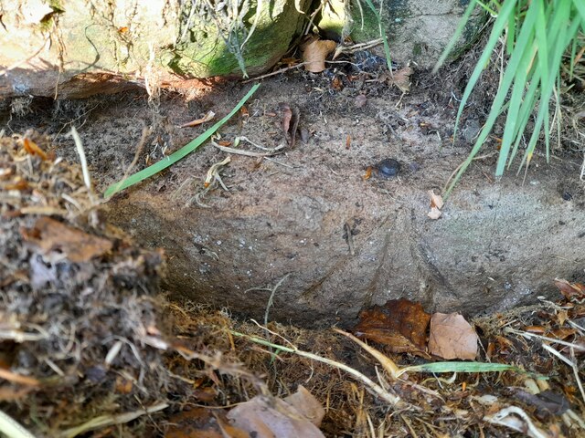
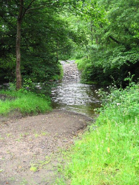
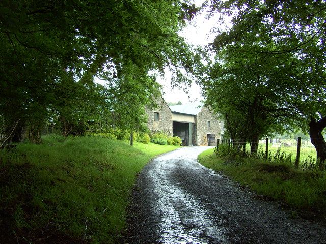
Coed Pen-Rhiw is a woodland area located in Monmouthshire, Wales. Covering approximately 30 hectares, the forest is a mix of native broadleaf and coniferous trees, providing a diverse habitat for a variety of wildlife. The woodland is managed by Natural Resources Wales, who work to maintain the health and biodiversity of the area.

Visitors to Coed Pen-Rhiw can enjoy a network of walking trails that wind through the forest, offering views of the surrounding countryside and the chance to spot local flora and fauna. The forest is a popular destination for nature enthusiasts, birdwatchers, and outdoor enthusiasts looking to explore the natural beauty of Monmouthshire.

Coed Pen-Rhiw is also home to a number of archaeological sites, including ancient burial mounds and Iron Age fortifications, adding to the historical significance of the area. The forest is open to the public year-round and offers a peaceful retreat for those looking to escape the hustle and bustle of everyday life and reconnect with nature.

If you have any feedback on the listing, please let us know in the comments section below.

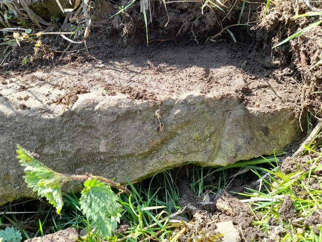
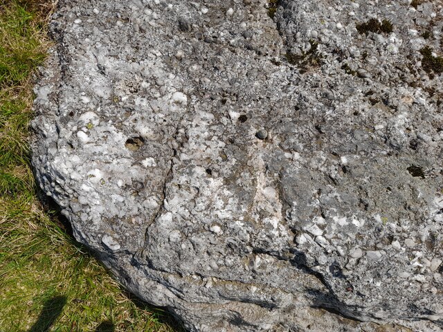
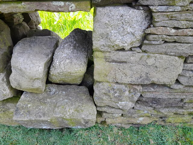
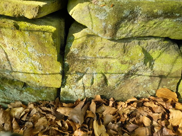
Coed Pen-Rhiw Images

Images are sourced within 2km of 51.723381/-3.2055195 or Grid Reference SO1603. Thanks to Geograph Open Source API. All images are credited.

Ordnance Survey Rivet This damaged OS rivet can be found on the culvert NE side of the road. It marks a point 438.933m above mean sea level.
Ordnance Survey Rivet
This damaged OS rivet can be found on the culvert NE side of the road. It marks a point 438.933m above mean sea level.
Ordnance Survey Rivet This OS rivet can be found on the rock NE side of the road. It marks a point 427.186m above mean sea level.
Ordnance Survey Rivet
This OS rivet can be found on the rock NE side of the road. It marks a point 427.186m above mean sea level.
Ordnance Survey Cut Mark This OS cut mark can be found on the wall east side of the road. It marks a point 407.966m above mean sea level.
Ordnance Survey Cut Mark
This OS cut mark can be found on the wall east side of the road. It marks a point 407.966m above mean sea level.
Ordnance Survey Cut Mark This OS cut mark can be found on the wall SW side of the road. It marks a point 385.051m above mean sea level.
Ordnance Survey Cut Mark
This OS cut mark can be found on the wall SW side of the road. It marks a point 385.051m above mean sea level.
Ordnance Survey Rivet This OS rivet can be found on the wall west side of the road. It marks a point 405.320m above mean sea level.
Ordnance Survey Rivet
This OS rivet can be found on the wall west side of the road. It marks a point 405.320m above mean sea level.
Ordnance Survey Rivet This OS rivet can be found on the wall SW side of the road. It marks a point 415.290m above mean sea level.
Ordnance Survey Rivet
This OS rivet can be found on the wall SW side of the road. It marks a point 415.290m above mean sea level.
Ebbw Vale, Blaenau Gwent Top of the former incline above the site of Marine Colliery at Cwm
Ebbw Vale, Blaenau Gwent
Top of the former incline above the site of Marine Colliery at Cwm
Historical sign for Paran Church Manmoel This shows the sign at Paran Church Manmoel which outlines the founding history of the site.
Historical sign for Paran Church Manmoel
This shows the sign at Paran Church Manmoel which outlines the founding history of the site.
Side view of Paran Methodist Church Manmoel This shows a side view of Paran Church. The churchyard is reached by passing through the gates and continuing round to the right. The graveyard is very well tended and includes a bank at a higher level.
Side view of Paran Methodist Church Manmoel
This shows a side view of Paran Church. The churchyard is reached by passing through the gates and continuing round to the right. The graveyard is very well tended and includes a bank at a higher level.
Ford/Watersplash across Sirhowy This ford is just upstream of the road bridge. The bridge is very narrow so that farm vehicles and other large vehicles cannot use it.
Ford/Watersplash across Sirhowy
This ford is just upstream of the road bridge. The bridge is very narrow so that farm vehicles and other large vehicles cannot use it.
Pen-yr-heol-las An old barn at Pen-yr-heol-las Farm.
Pen-yr-heol-las
An old barn at Pen-yr-heol-las Farm.
Heather regeneration following forestry clear felling
Wood on the edge of Manmoel Common
Markham The Congregational chapel.
Markham
The Congregational chapel.
Hollybush Railway Terrace beside the old dismantled railway line.
Hollybush
Railway Terrace beside the old dismantled railway line.
Bridge under the disused Newport to Tredegar railway. This railway was run by the Sirhowy Railway Company, starting as the Sirhowy Tramroad Company, and was constructed between 1802 and 1805. It carried minerals, coal and passengers. It was a mainline, and was double-track. If you go and look at this bridge you can see that one side is built of stone and the other of brick. The side you can see here being the stone side. Presumably the stone side carried the original tramroad, which would have been horse-drawn.
Bridge under the disused Newport to Tredegar railway.
This railway was run by the Sirhowy Railway Company, starting as the Sirhowy Tramroad Company, and was constructed between 1802 and 1805. It carried minerals, coal and passengers. It was a mainline, and was double-track. If you go and look at this bridge you can see that one side is built of stone and the other of brick. The side you can see here being the stone side. Presumably the stone side carried the original tramroad, which would have been horse-drawn.
A4048 going towards Hollybush The road down to the right goes down to Great Western Cottages. This road runs roughly parallel to the old Sirhowy Railway (now disused) and the Sirhowy river. Many of the rows of cottages are named after either railway themes, or mining topics. Several villages have terraces of houses called 'Railway Cottages', even though the railway is no longer there.
A4048 going towards Hollybush
The road down to the right goes down to Great Western Cottages. This road runs roughly parallel to the old Sirhowy Railway (now disused) and the Sirhowy river. Many of the rows of cottages are named after either railway themes, or mining topics. Several villages have terraces of houses called 'Railway Cottages', even though the railway is no longer there.
Pen-yr-heol The farm road leading to Pen-yr-heol. You can see some mountain sheep just the other side of the gate.
Pen-yr-heol
The farm road leading to Pen-yr-heol. You can see some mountain sheep just the other side of the gate.
Show me another place!

Coed Pen-Rhiw is located at Grid Ref: SO1603 (Lat: 51.723381, Lng: -3.2055195)

Unitary Authority: Caerphilly

Police Authority: Gwent

What 3 Words

///engineers.plugged.supposes. Near Cwm, Blaenau Gwent

Related Wikis

Holly Bush railway station

Holly Bush railway station served the village of Hollybush, in the historical county of Monmouthshire, Wales, from 1871 to 1960 on the Sirhowy Railway...

Markham, Caerphilly

Markham is a small village in the South Wales Valleys in Caerphilly County Borough, to the northeast of Bargoed. The B4511 road links to Markham from Aberbargoed...

Cwmsyfiog Halt railway station

Cwmsyfiog Halt railway station served the suburb of Cwmsyfiog, Monmouthshire, Wales, from 1937 to 1962 on the Brecon and Merthyr Tydfil Junction Railway...

Brithdir, Caerphilly

Brithdir is a small village in the northern part of the Rhymney Valley near New Tredegar, in the county borough of Caerphilly, south Wales. It was formed...

Nearby Amenities

Located within 500m of 51.723381,-3.2055195
Holly Bush
Historic Railway: station
Railway: site
Wikidata: Q109298909
Wikipedia: en:Holly Bush railway station
Lat/Long: 51.723405/-3.20911
Holly Bush
Is In Historic County: Monmouthshire
Name Cy: Llwyncelyn
Place: hamlet
Lat/Long: 51.7221559/-3.209472
Turning Circle
Lat/Long: 51.7239969/-3.2096037
The data included in this document is from www.openstreetmap.org. The data is made available under ODbL.

Have you been to Coed Pen-Rhiw?

Leave your review of Coed Pen-Rhiw below (or comments, questions and feedback).