Coed Fedwgwaith
Wood, Forest in Monmouthshire
Wales
Coed Fedwgwaith

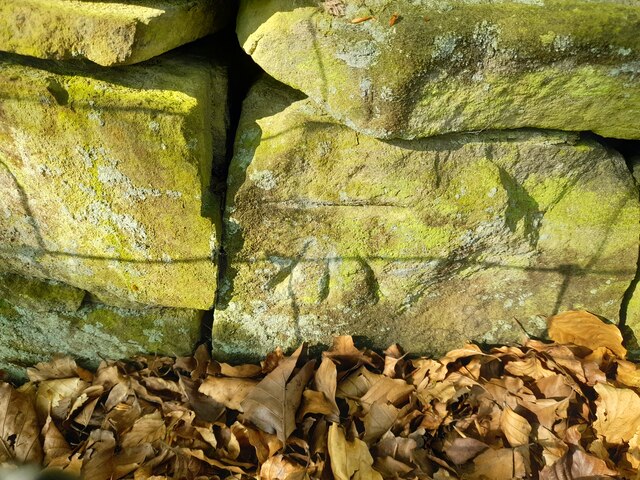
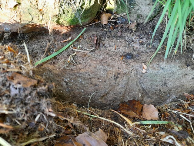
Coed Fedwgwaith, located in Monmouthshire, Wales, is a picturesque woodland area known for its natural beauty and diverse range of flora and fauna. Covering an area of approximately 200 hectares, this ancient forest offers a peaceful and tranquil environment for visitors to explore.
The woodland is predominantly made up of mixed broad-leaved trees, including oak, beech, and ash, creating a stunning canopy that provides shade during the hot summer months. These trees also offer a habitat for a variety of wildlife species, such as badgers, foxes, and a wide range of bird species.
Coed Fedwgwaith is crisscrossed by a network of well-maintained footpaths and trails, making it a popular destination for hikers, nature enthusiasts, and families. The trails meander through the forest, allowing visitors to immerse themselves in the serene surroundings and appreciate the natural wonders of the area.
In addition to its natural beauty, Coed Fedwgwaith also has historical significance. The forest has been managed by the local community for generations, with traditional practices such as coppicing and charcoal burning still being carried out. This sustainable management ensures the preservation of the woodland ecosystem and helps maintain the diverse range of plant and animal life.
Overall, Coed Fedwgwaith in Monmouthshire is an idyllic location for those seeking a peaceful retreat amidst nature. With its ancient trees, diverse wildlife, and well-maintained trails, it offers a delightful experience for visitors of all ages.
If you have any feedback on the listing, please let us know in the comments section below.
Coed Fedwgwaith Images
Images are sourced within 2km of 51.736192/-3.2118704 or Grid Reference SO1604. Thanks to Geograph Open Source API. All images are credited.


Coed Fedwgwaith is located at Grid Ref: SO1604 (Lat: 51.736192, Lng: -3.2118704)
Unitary Authority: Caerphilly
Police Authority: Gwent
What 3 Words
///rivals.composes.remit. Near Victoria, Blaenau Gwent
Nearby Locations
Related Wikis

Bedwellty Pits Halt railway station
Bedwellty Pits Halt railway station was a station on the Sirhowy Railway. It was initially spelled Bedwelty, then known as Bedwellty Pits, and finally...

Holly Bush railway station
Holly Bush railway station served the village of Hollybush, in the historical county of Monmouthshire, Wales, from 1871 to 1960 on the Sirhowy Railway...
Valleys Radio
Valleys Radio (Welsh: Radio'r Cymoedd) was an Independent Local Radio station broadcasting to the heads of the South Wales Valleys. The broadcast area...
Cefn Manmoel
Cefn Manmoel is the name given to the broad ridge of high ground between the Sirhowy Valley and Ebbw Vale in the Valleys region of South Wales. It straddles...
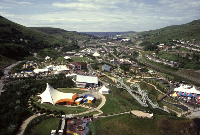
Ebbw Vale Garden Festival
The Ebbw Vale Garden Festival of Wales (National Garden Festival 1992) attracted over two million visitors to Ebbw Vale in South Wales. == Background... ==
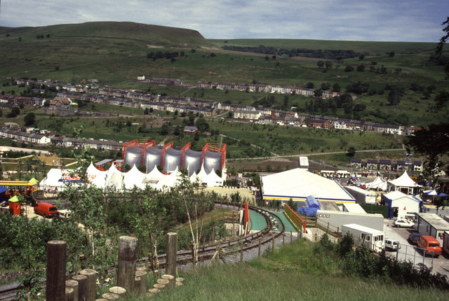
Ebbw Vale Garden Festival Funicular
The Ebbw Vale Garden Festival Funicular was a funicular railway built to carry visitors around the Ebbw Vale Garden Festival in 1992. == Festival == The...
Cwm railway station
Cwm railway station served the village of Cwm in Monmouthshire, Wales. == History == The station was originally opened by the Monmouthshire Railway and...

Cwm, Blaenau Gwent
Cwm (from Welsh: Y Cwm, transl. The Valley) is a former coal mining village, community and electoral ward three miles (4.8 km) south of Ebbw Vale in the...
Nearby Amenities
Located within 500m of 51.736192,-3.2118704Have you been to Coed Fedwgwaith?
Leave your review of Coed Fedwgwaith below (or comments, questions and feedback).